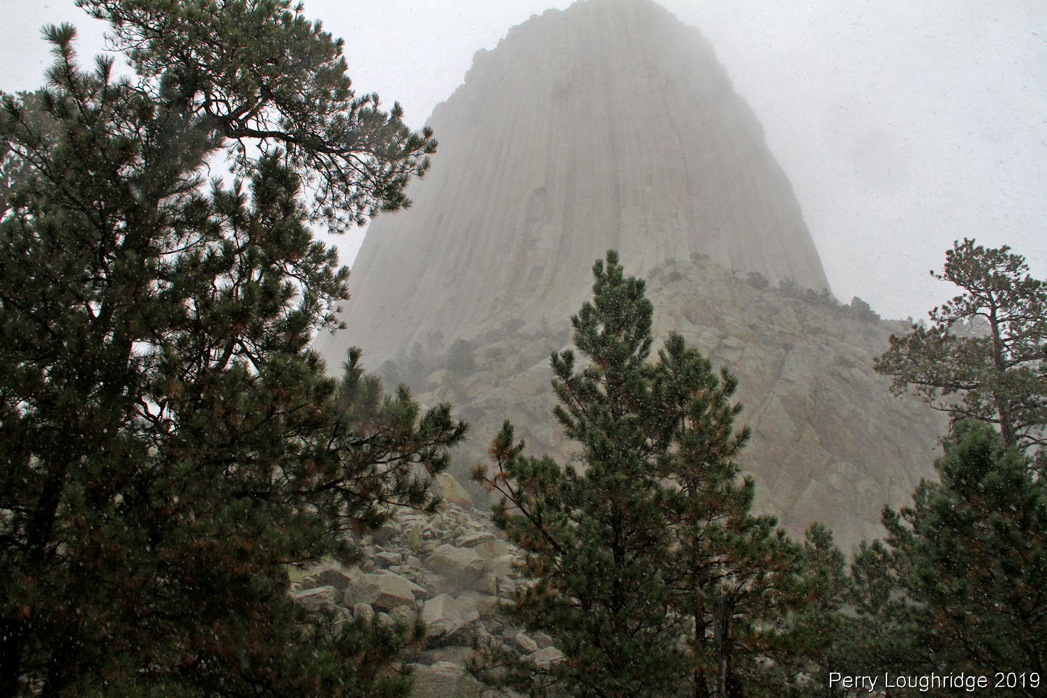
After an enjoyable evening camping along Sand Creek, we made out way further into the Black Hills. Original thoughts had us heading to Deadwood, SD via dirt roads, but the 15″ of snow that Deadwood just received put a damper on things. Once off the mountain and on a more main artery, we headed for Spearfish, stopping at the local brewery for some beer and food.
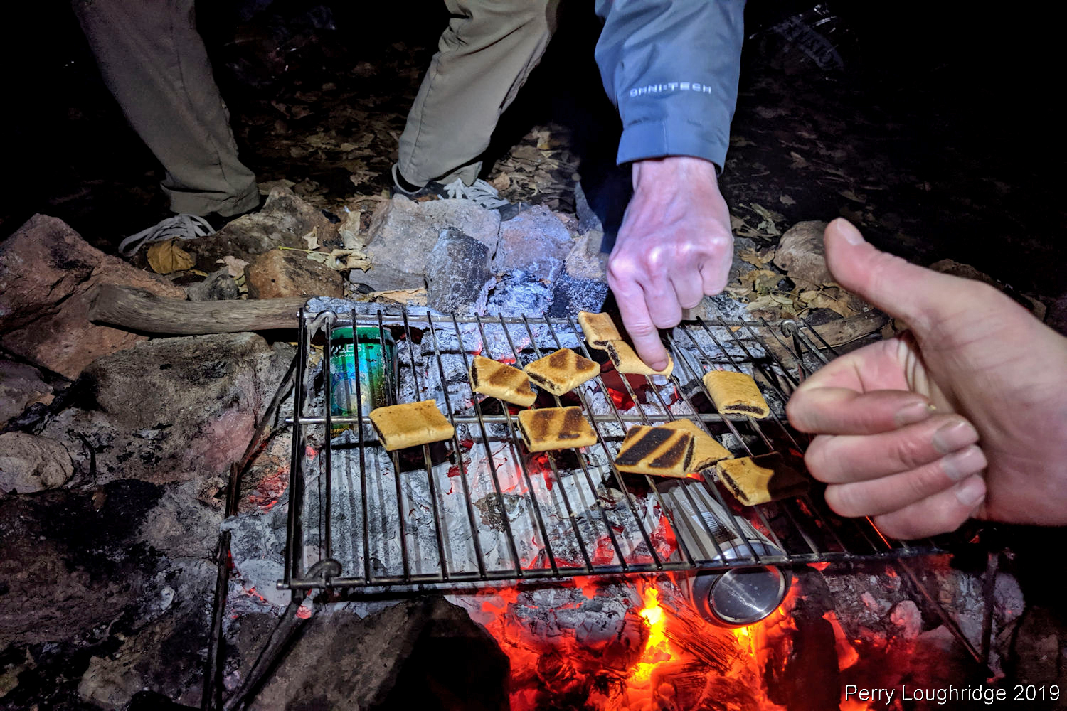
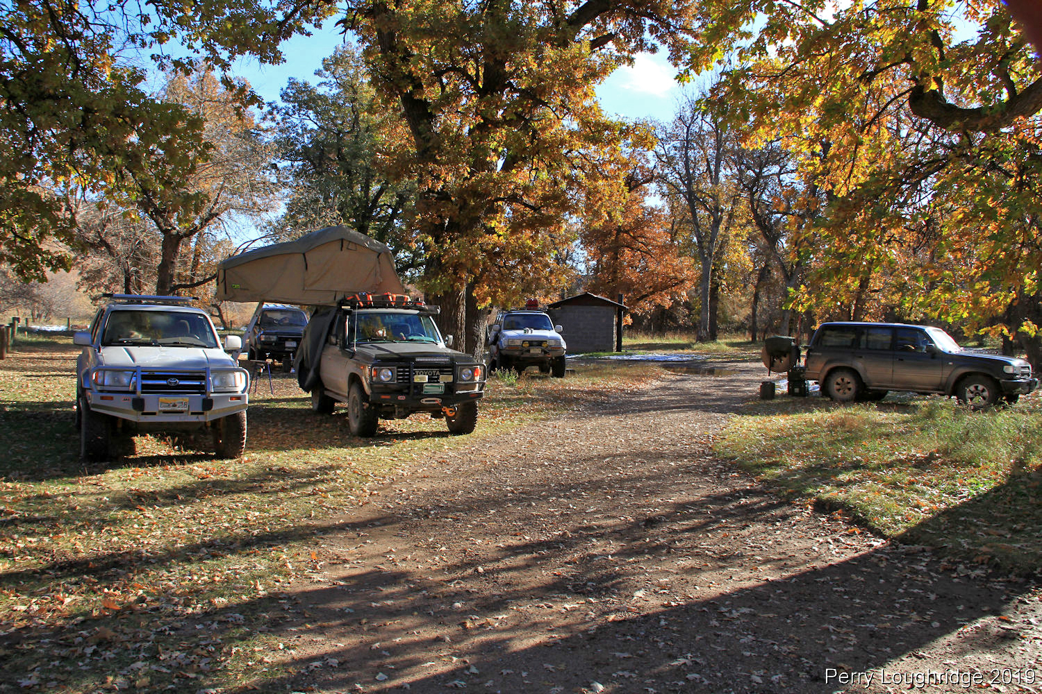
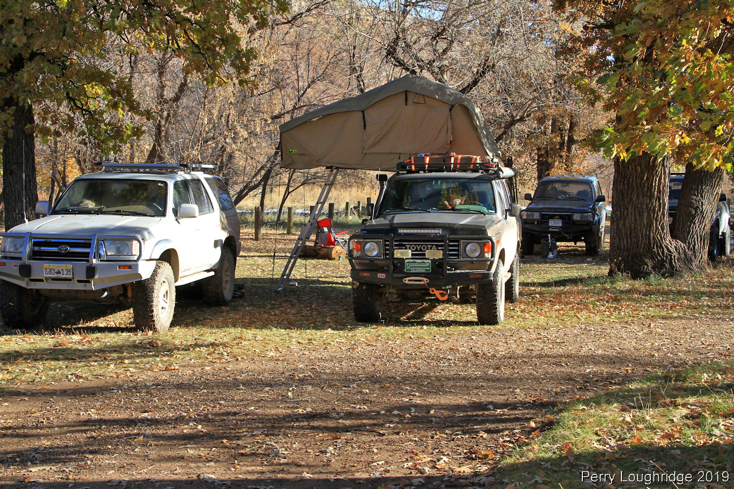
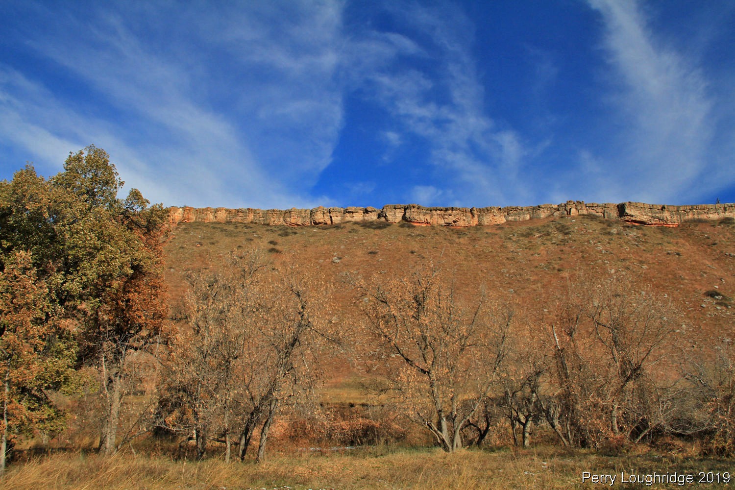
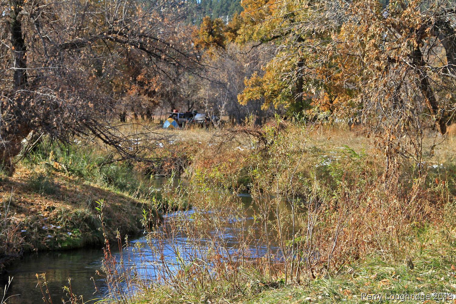
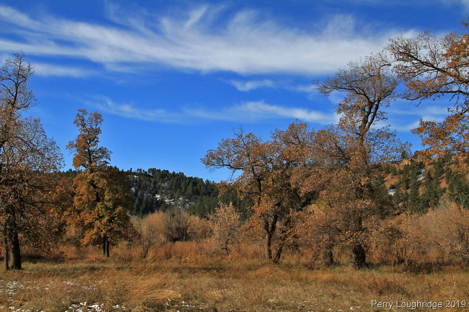
We woke to blue skies at our camp along Sand Creek, south of Beulah, WY, a mile or so into what’s known as the “Grand Canyon of Sand Creek”.
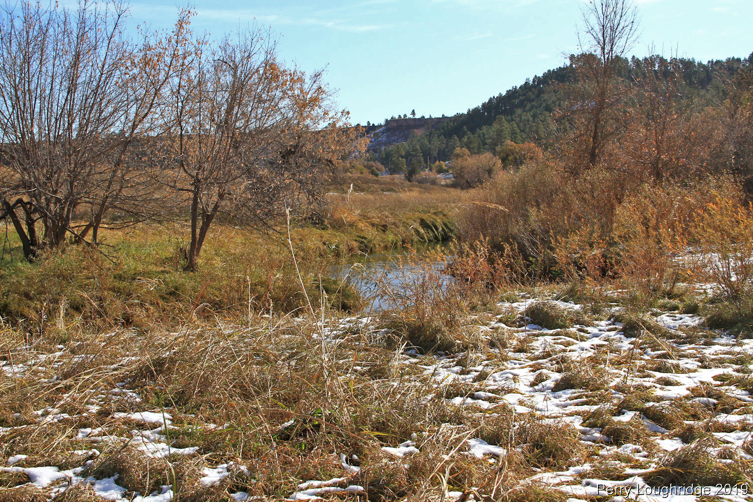
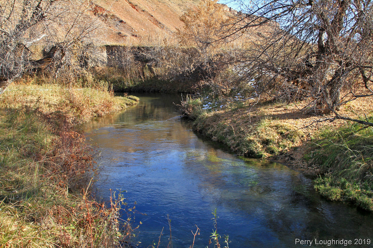
Sand Creek. Spotted a river Otter swimming through the river.
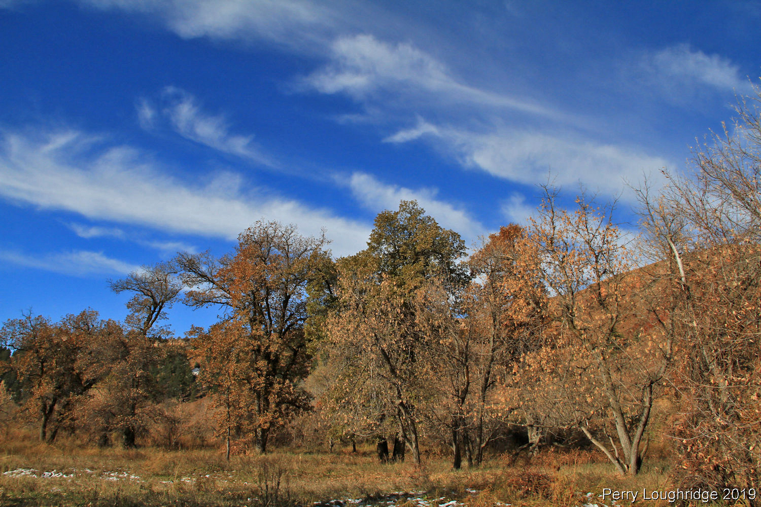
The day started out so perfect:).
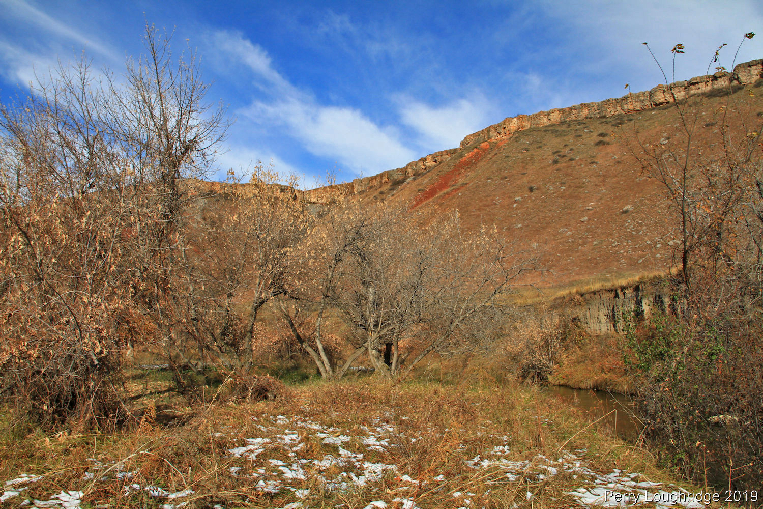
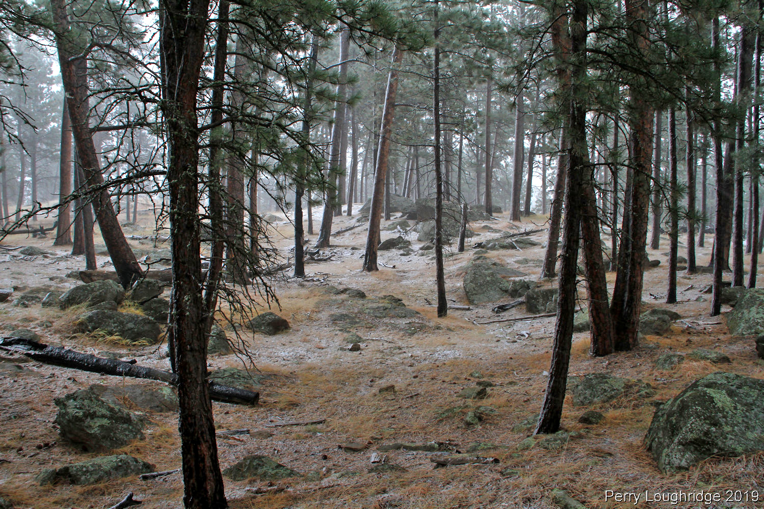
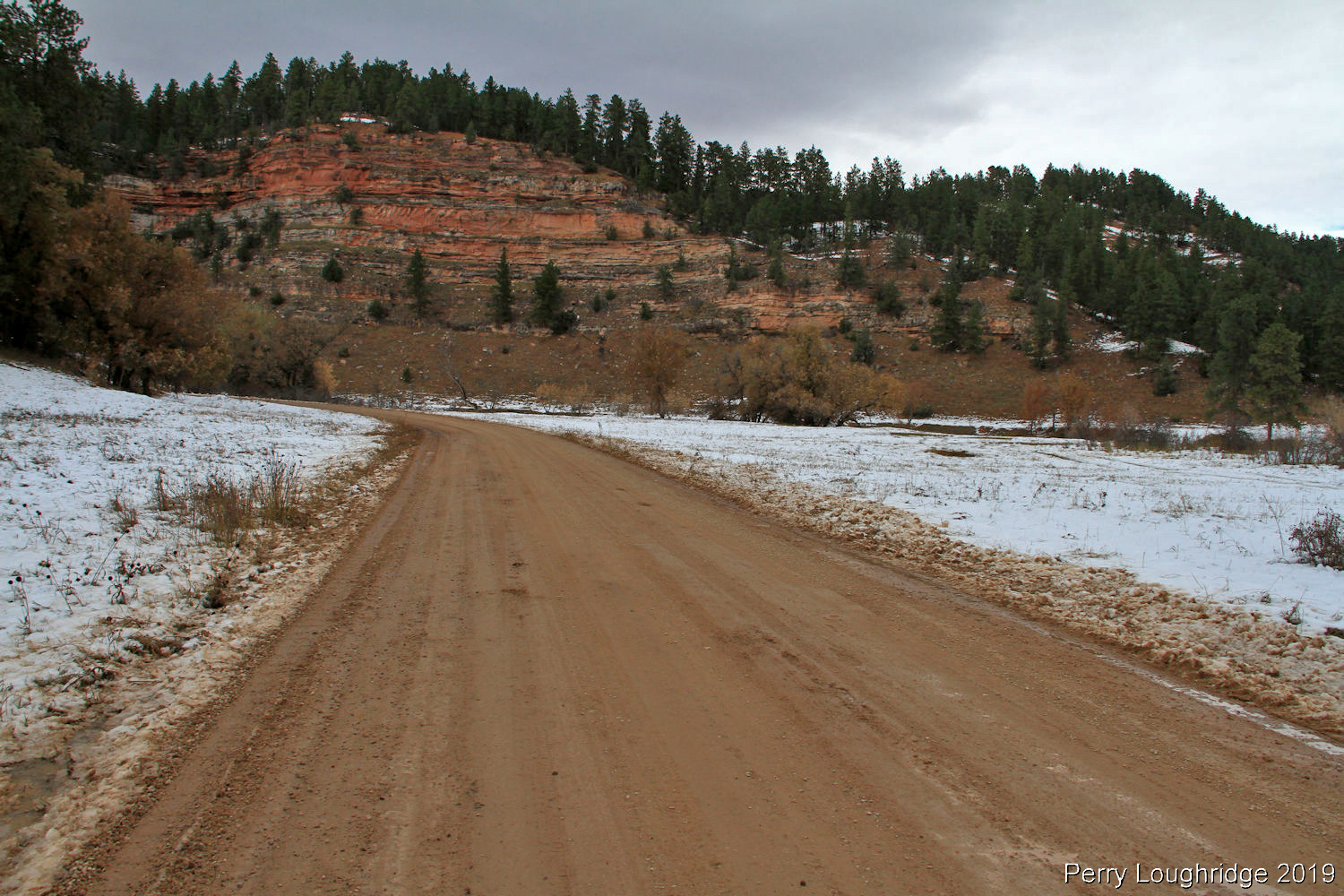
Making our way further south into the Grand Canyon of Sand Creek.
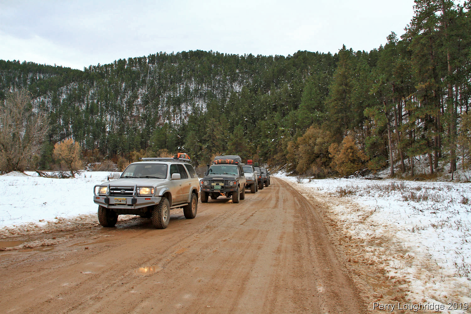
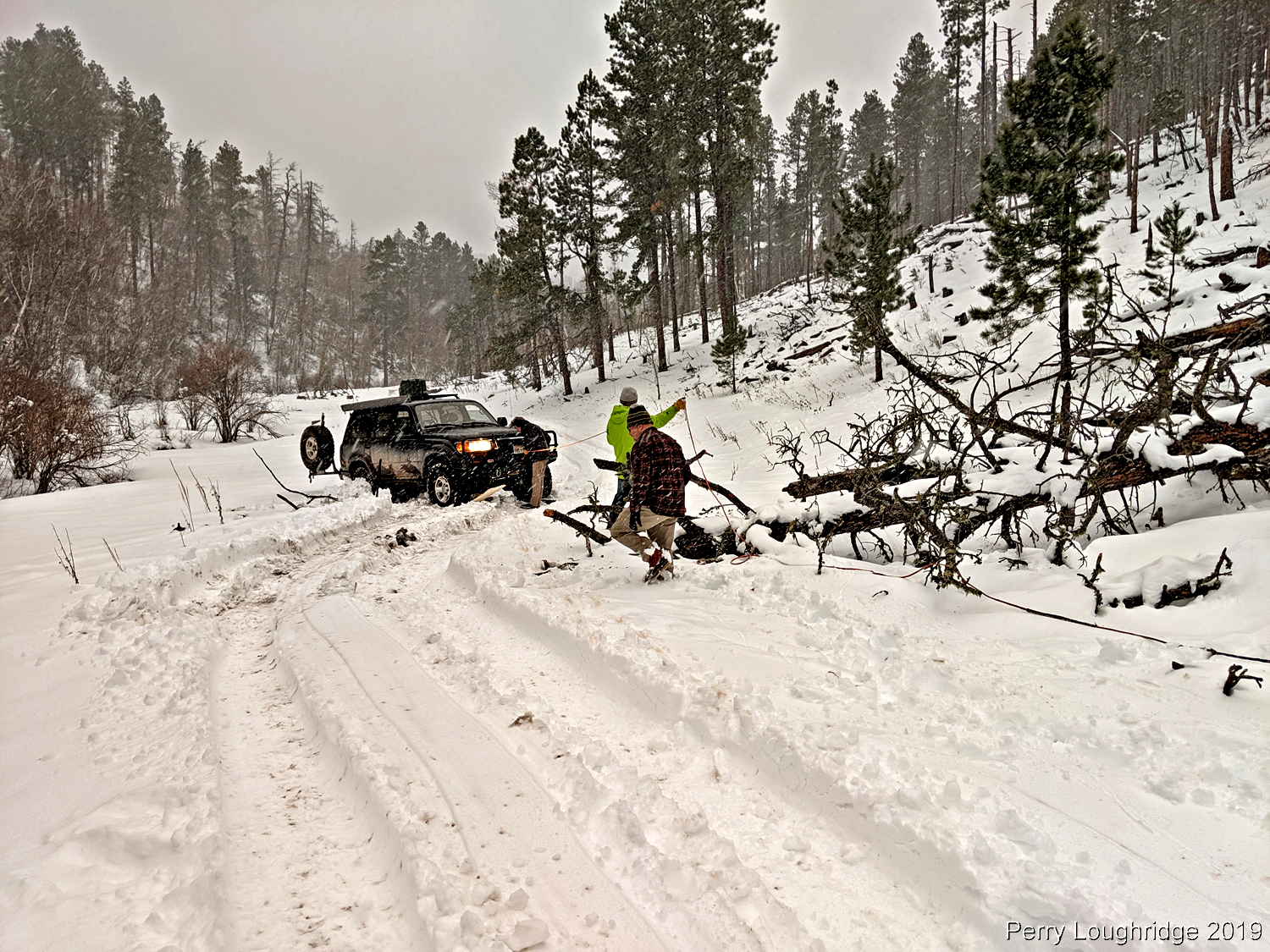
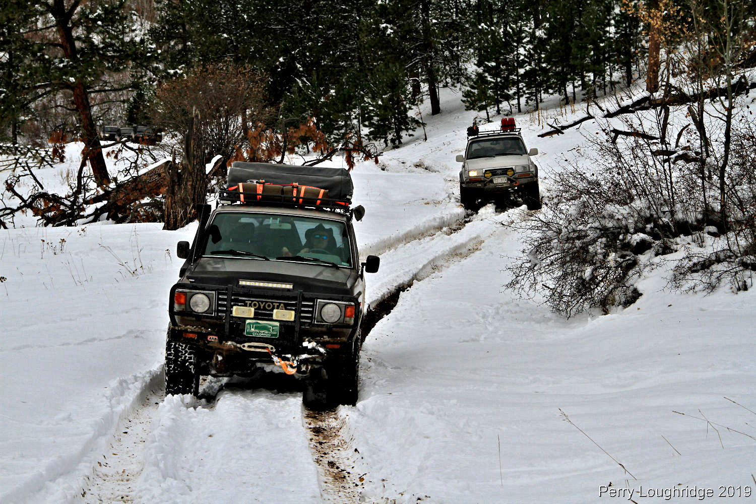
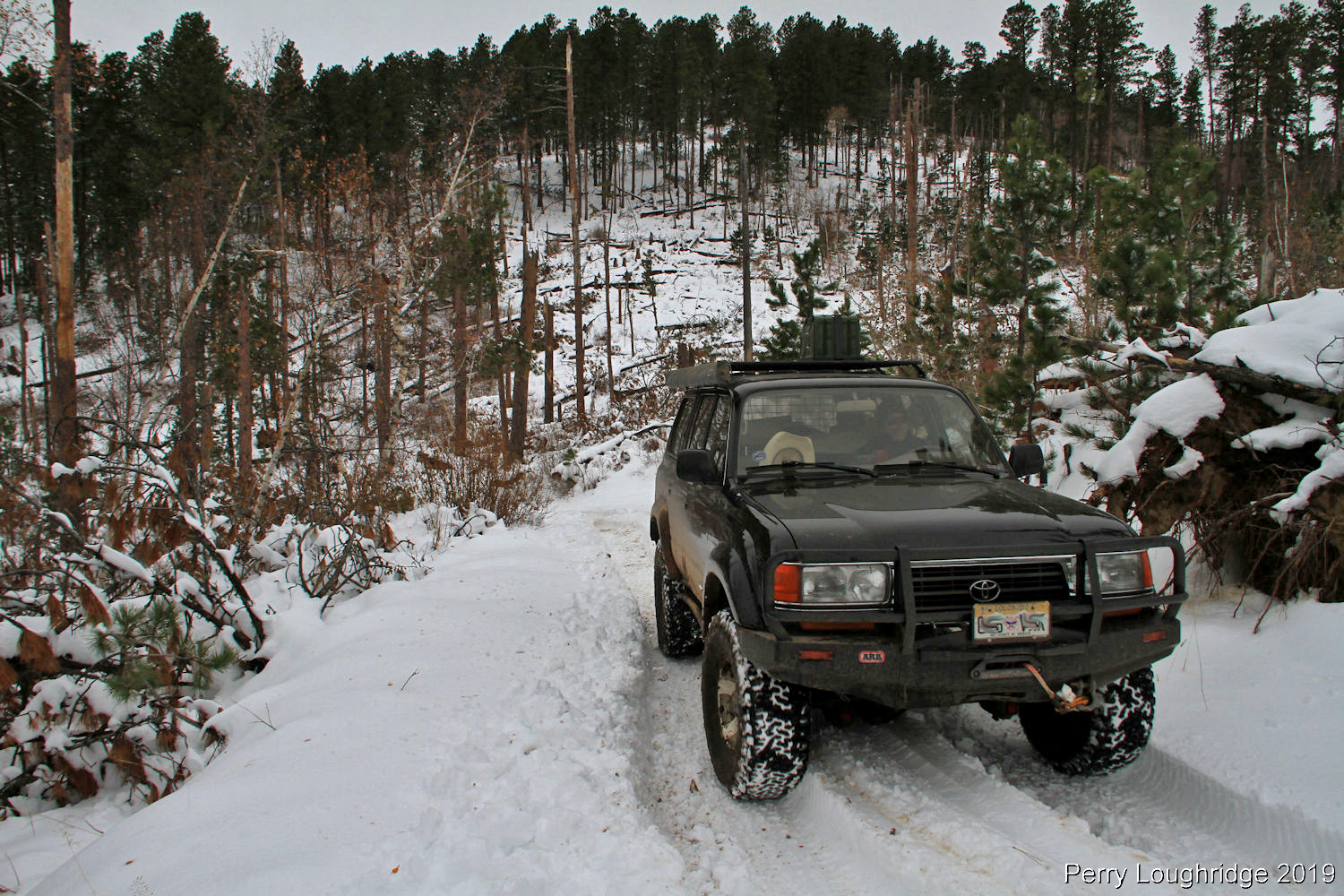
As we made our way south, the snow continued to get deeper. We also came onto a lot of fallen trees. Stopped to clear this one of the road, as people were already going around it.

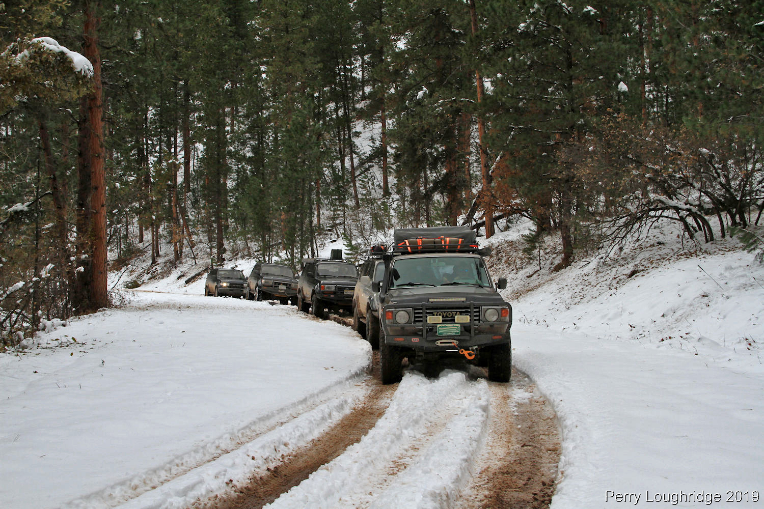
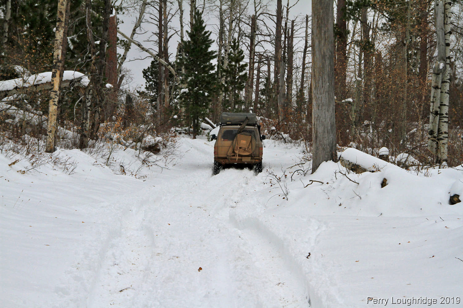
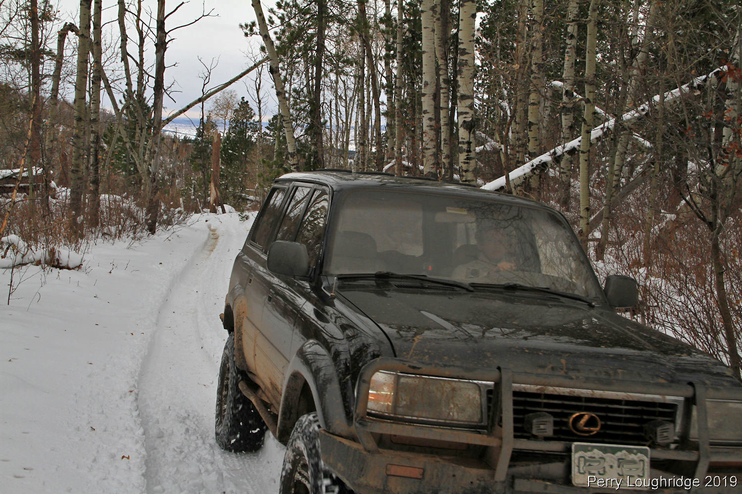
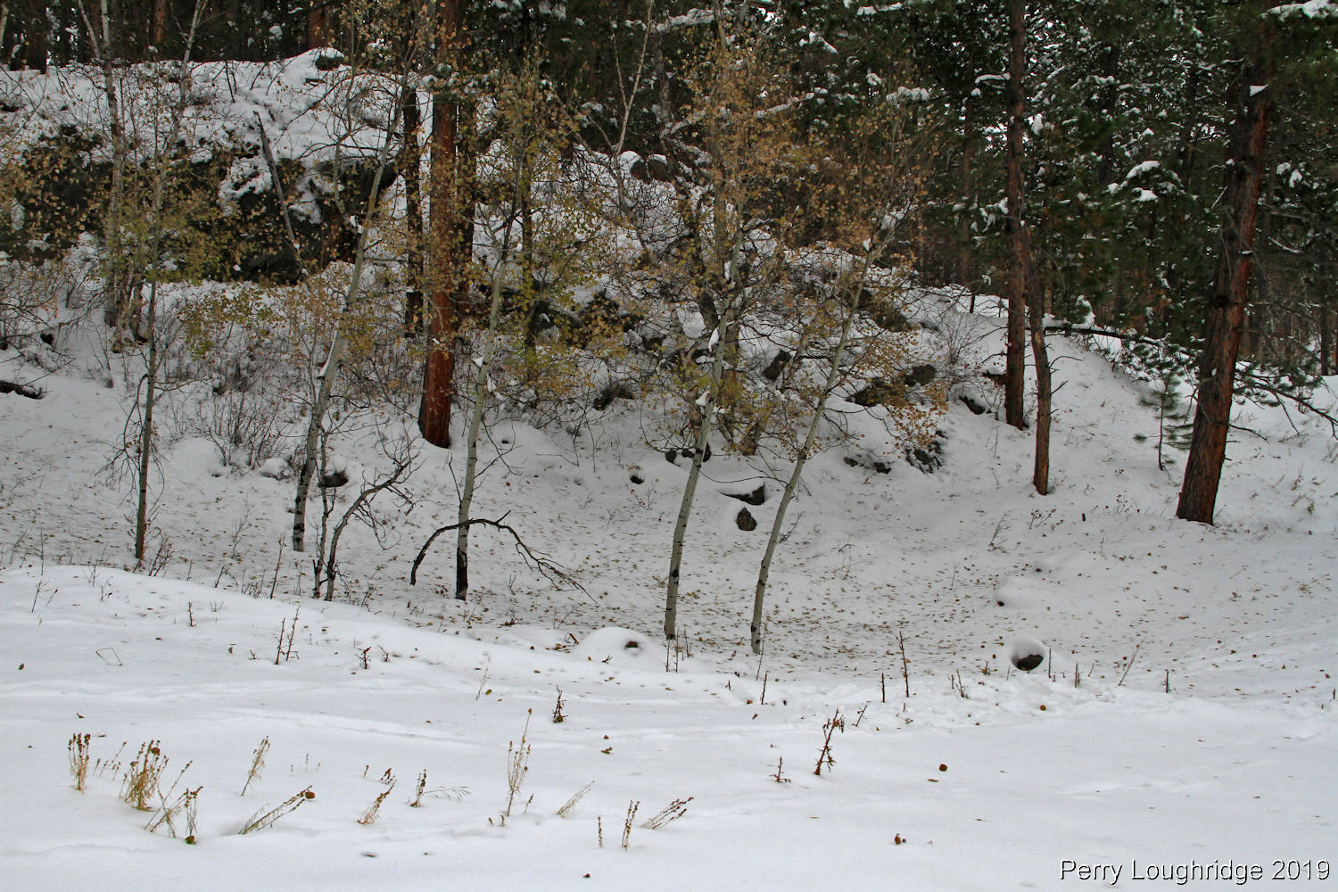
Still making progress.
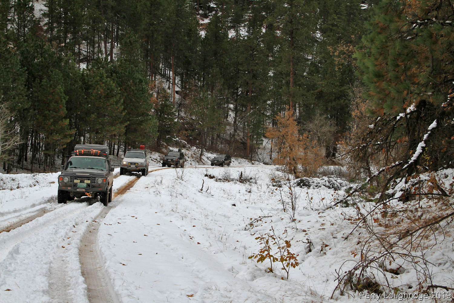
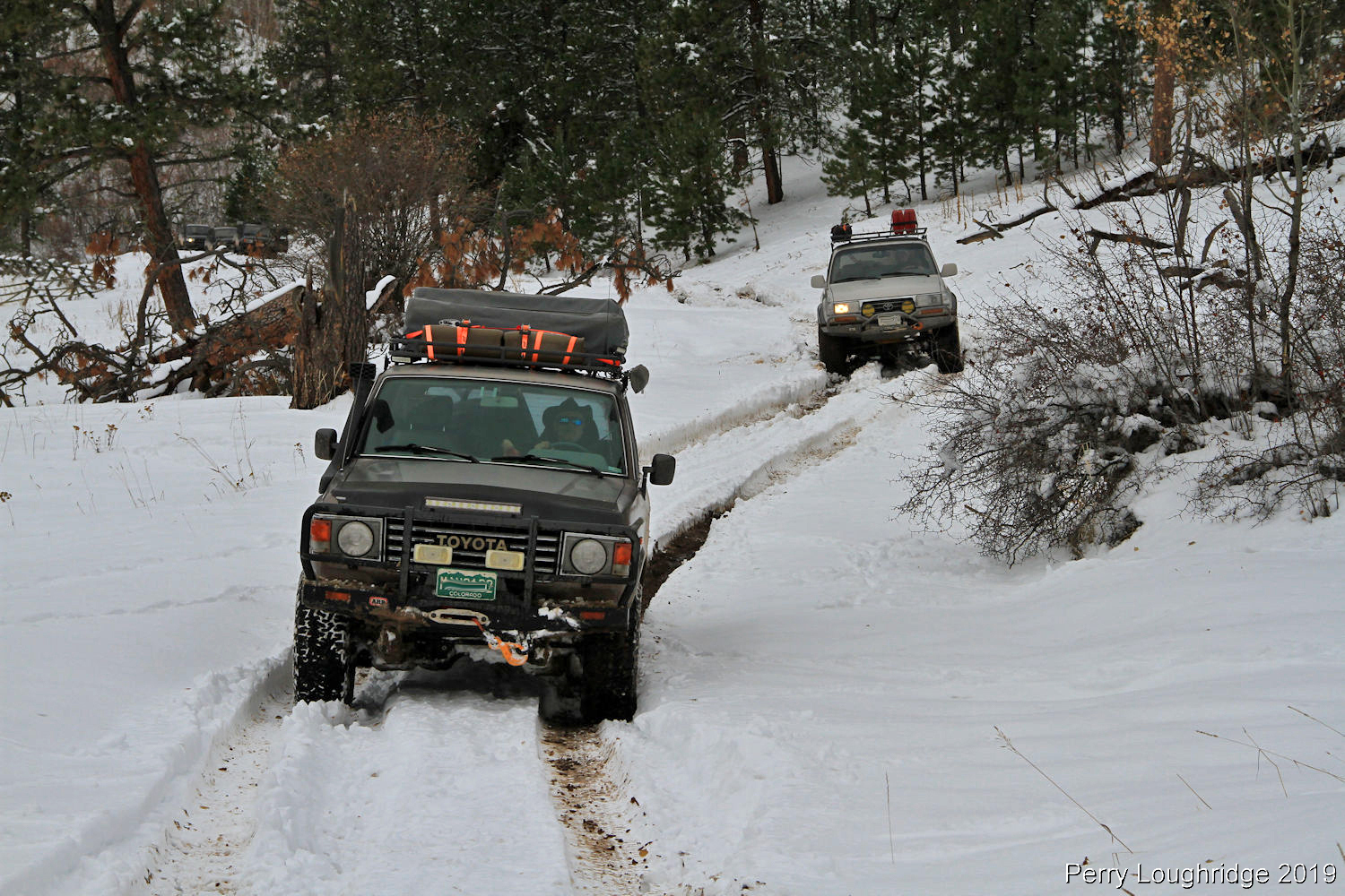
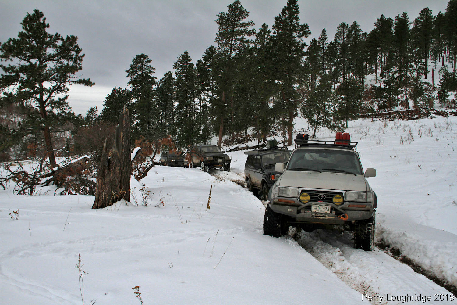
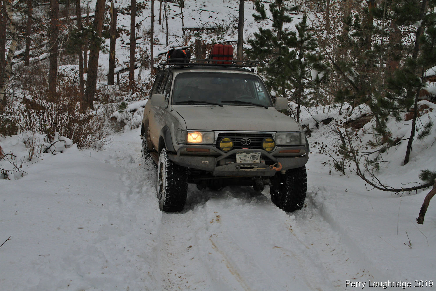
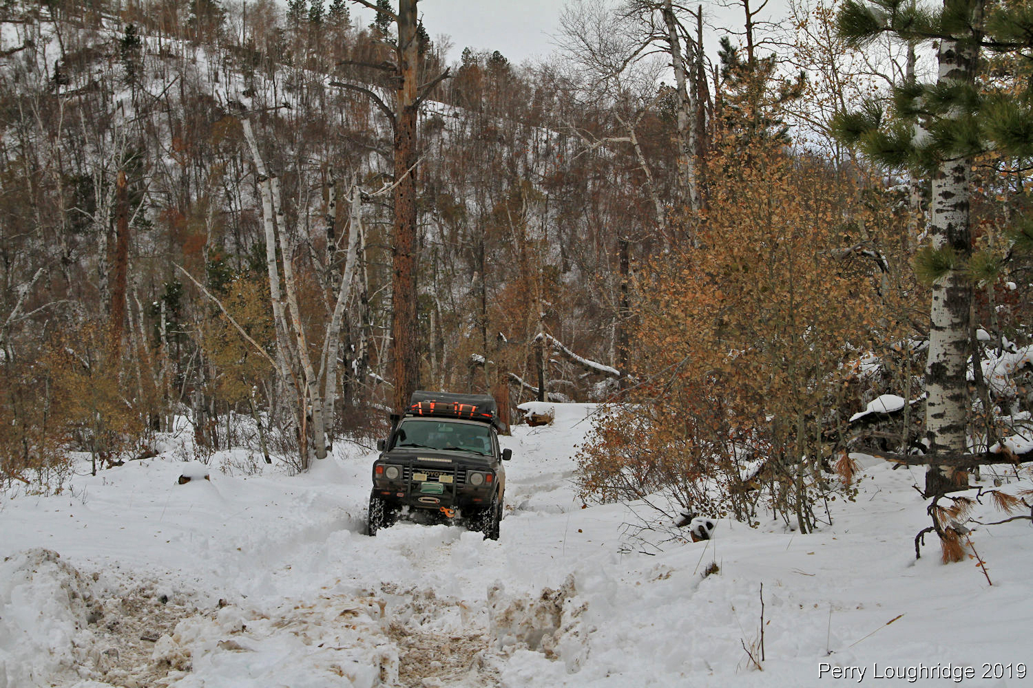
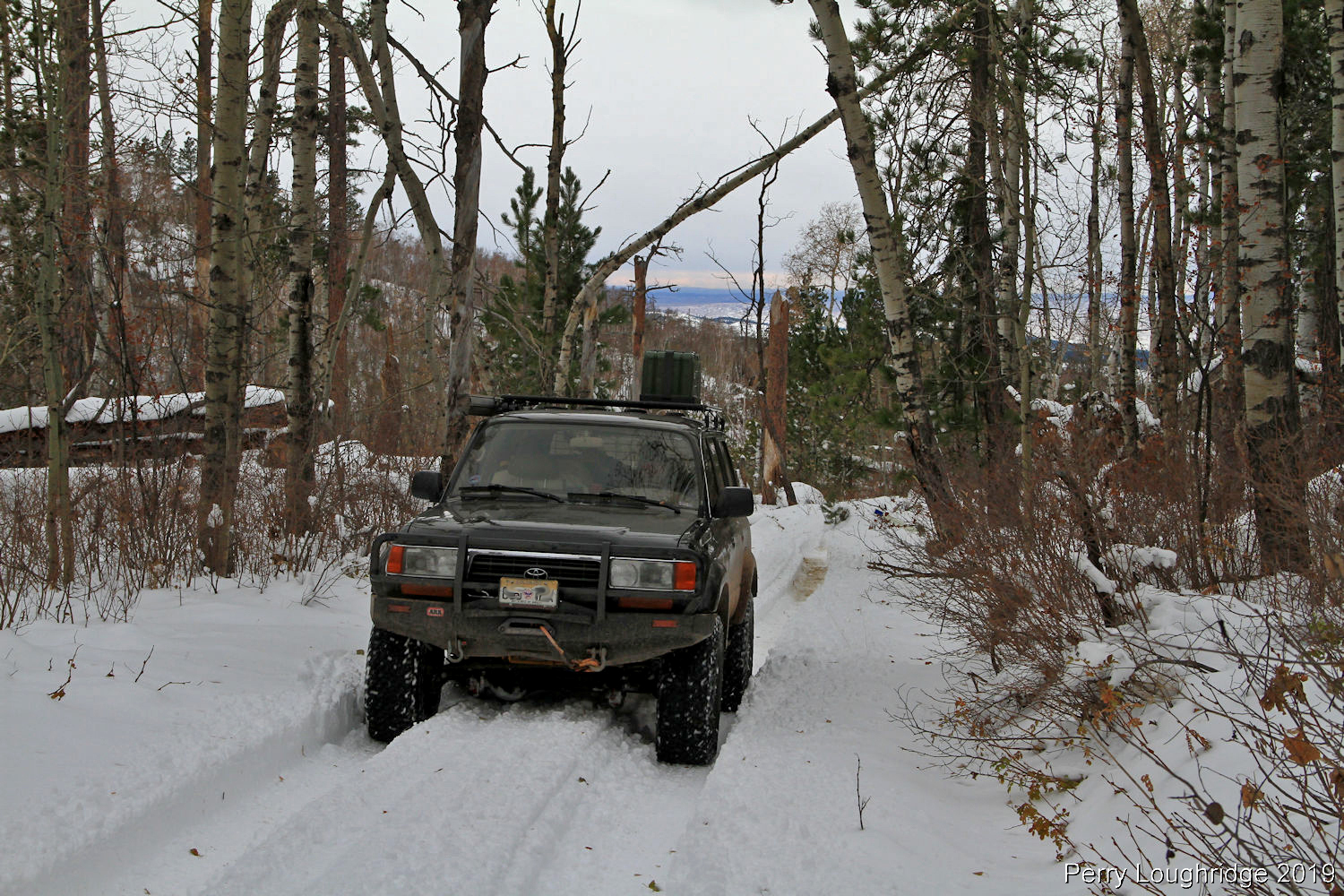
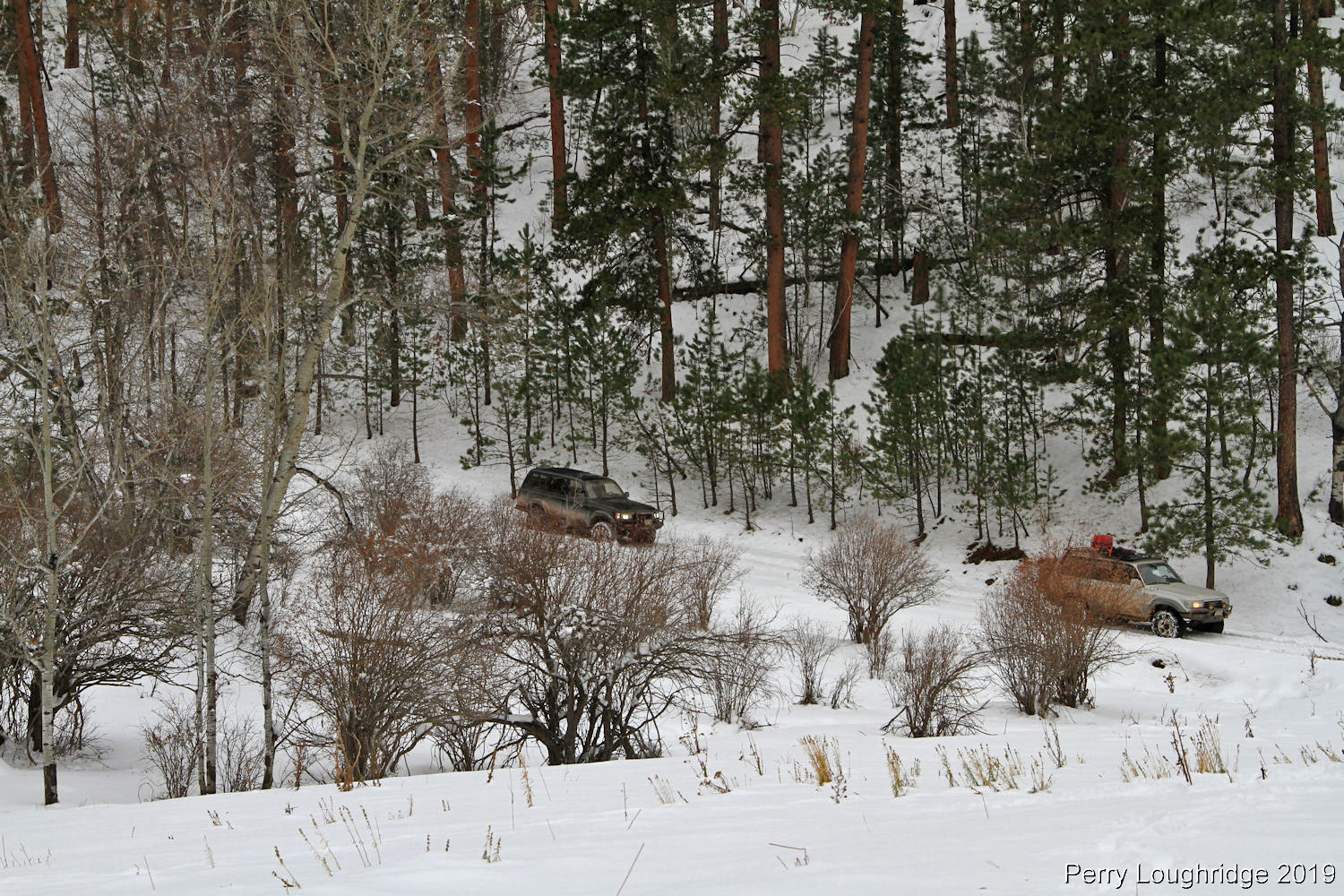
We turned onto Surprise Gulch with the thought of getting around Tinton, SD for camp. But the snow just kept getting deeper..
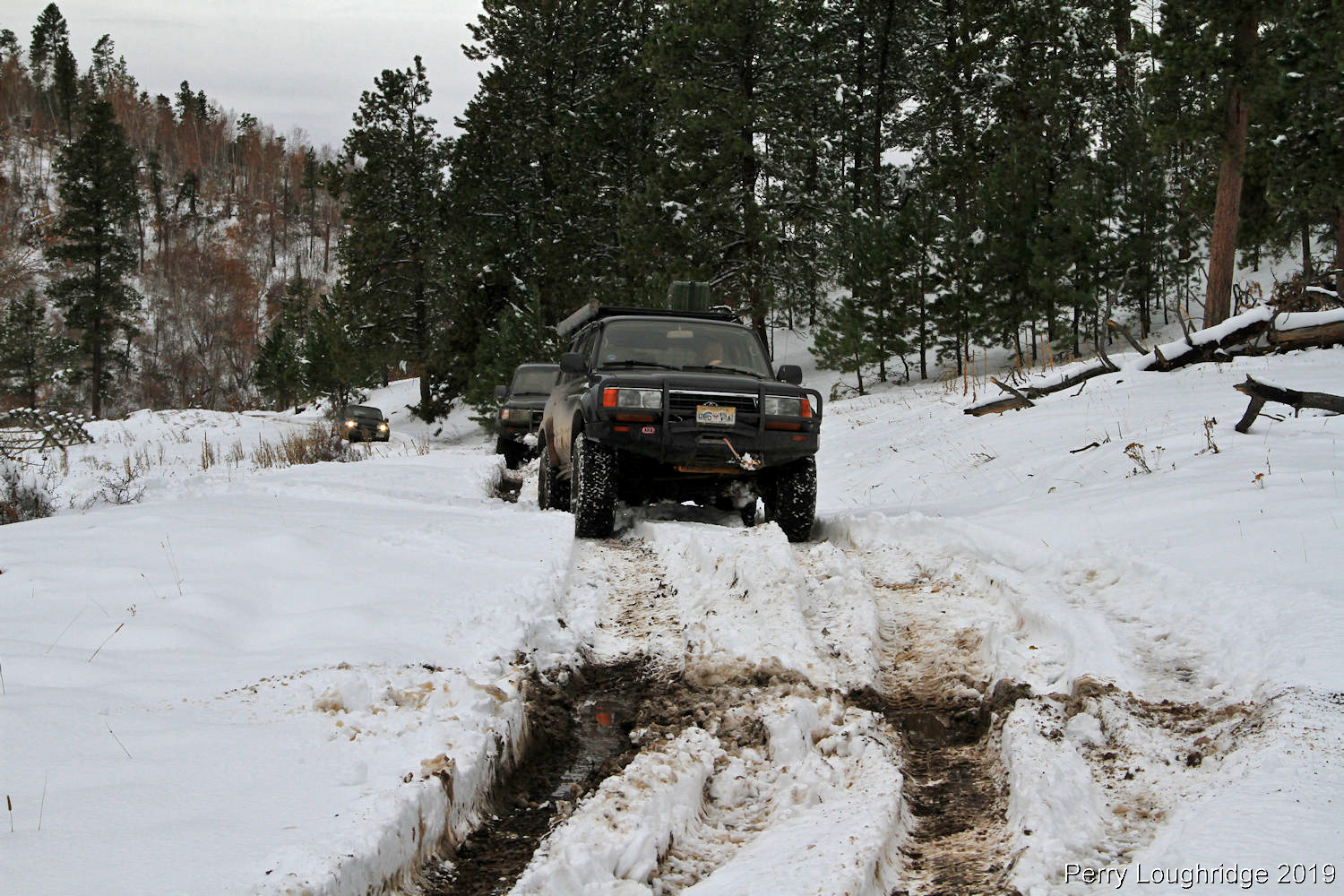
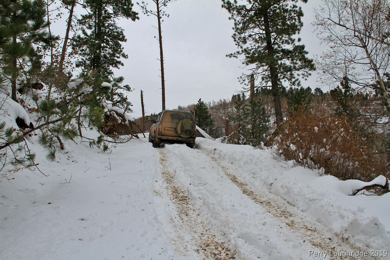
About the point where we started making fresh tracks.
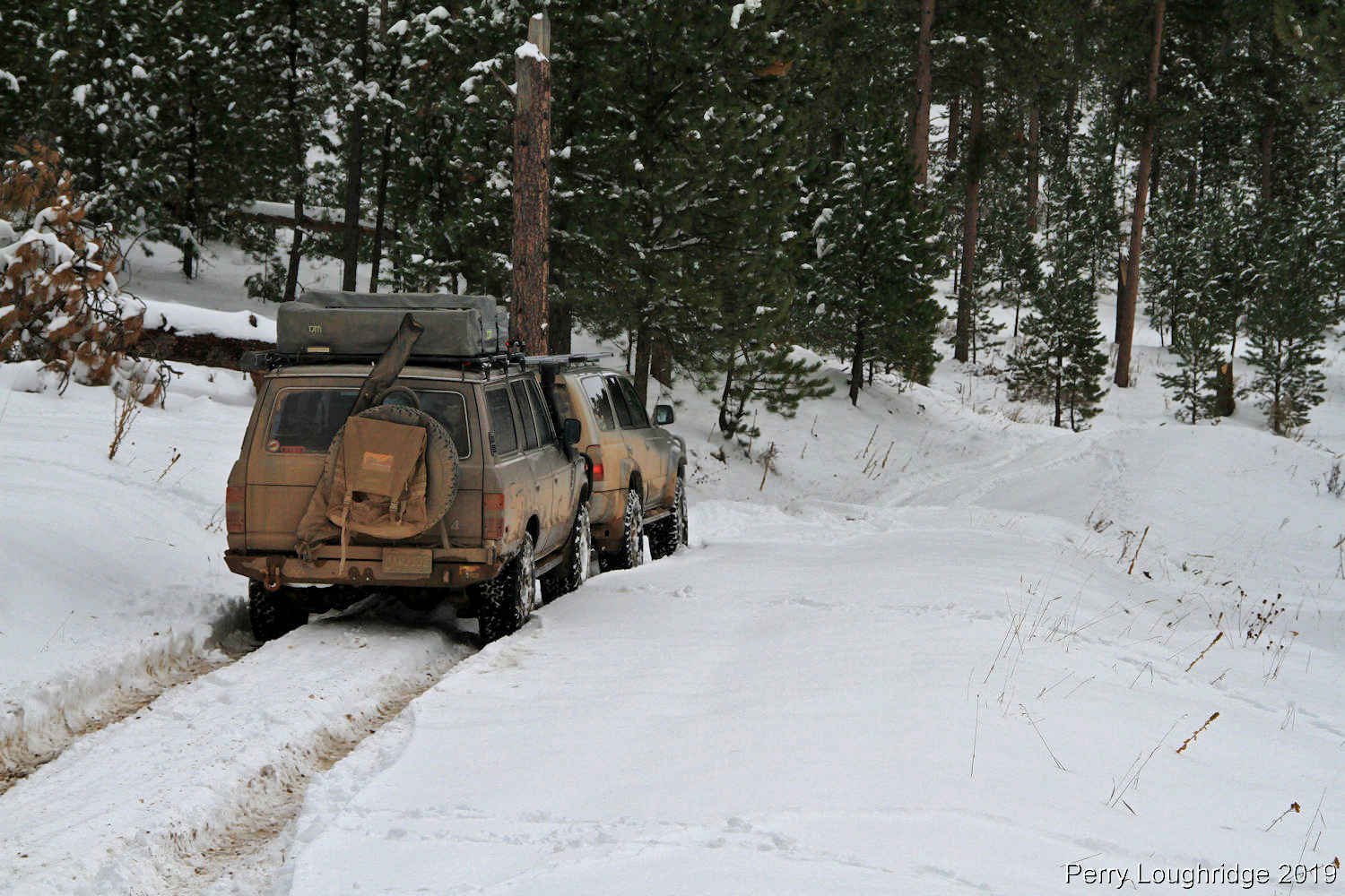
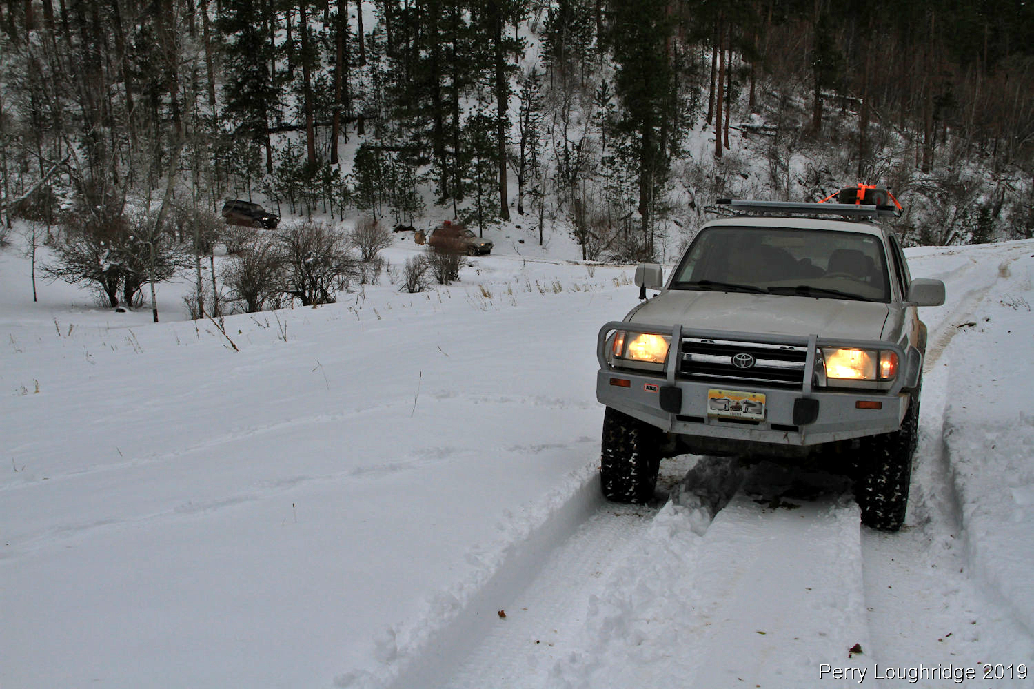
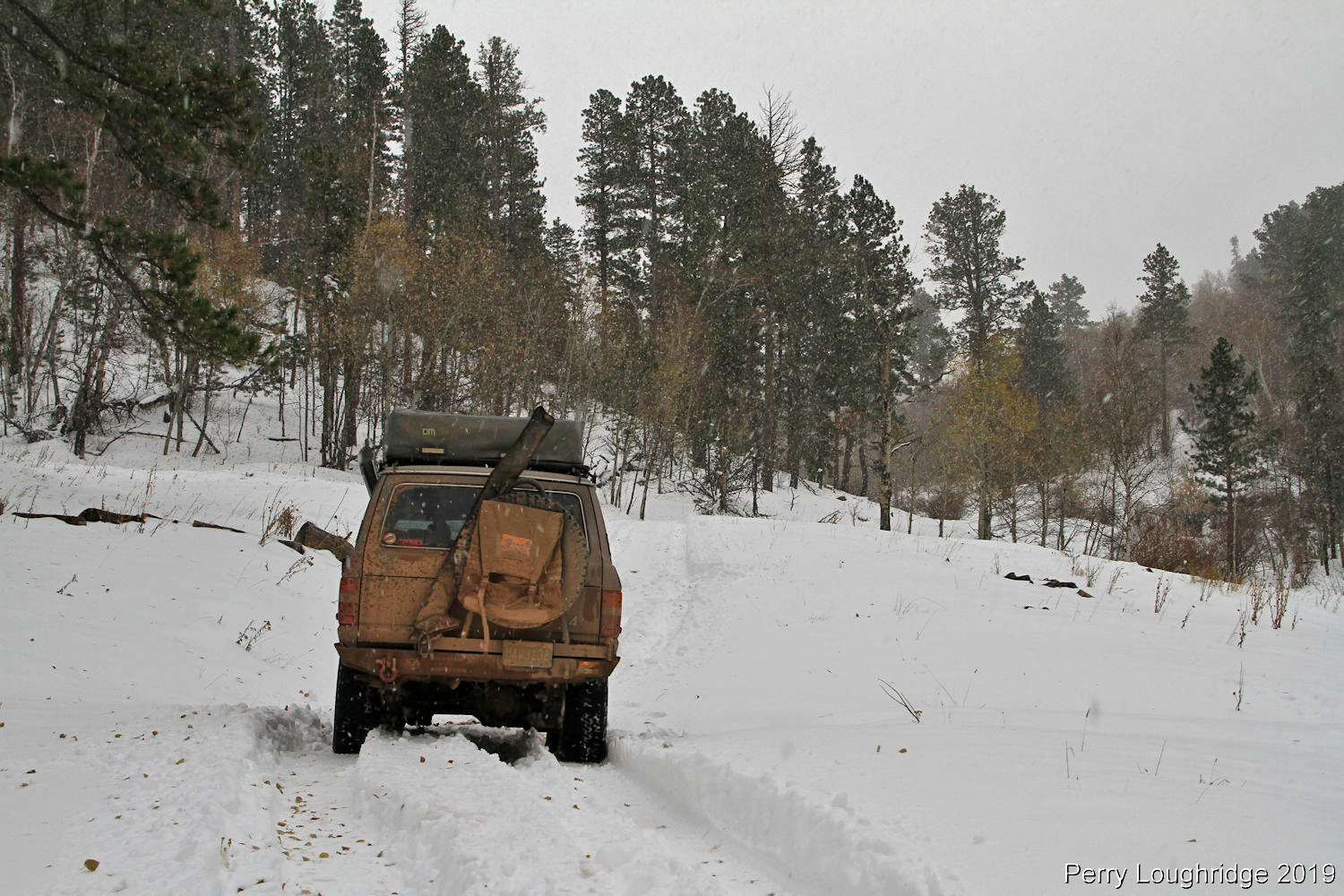
Progress started to slow at this point.
Shawn C.
Matt Ralston.
Matt Farr.
Daniel Linn.
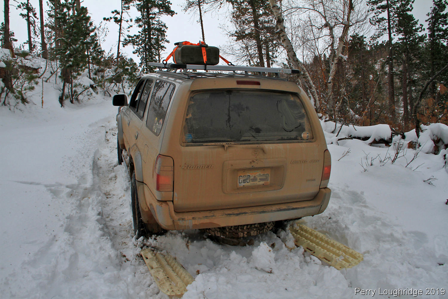
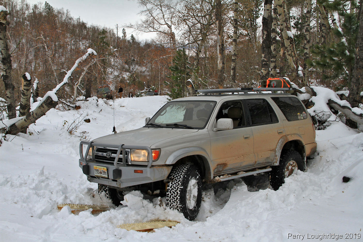
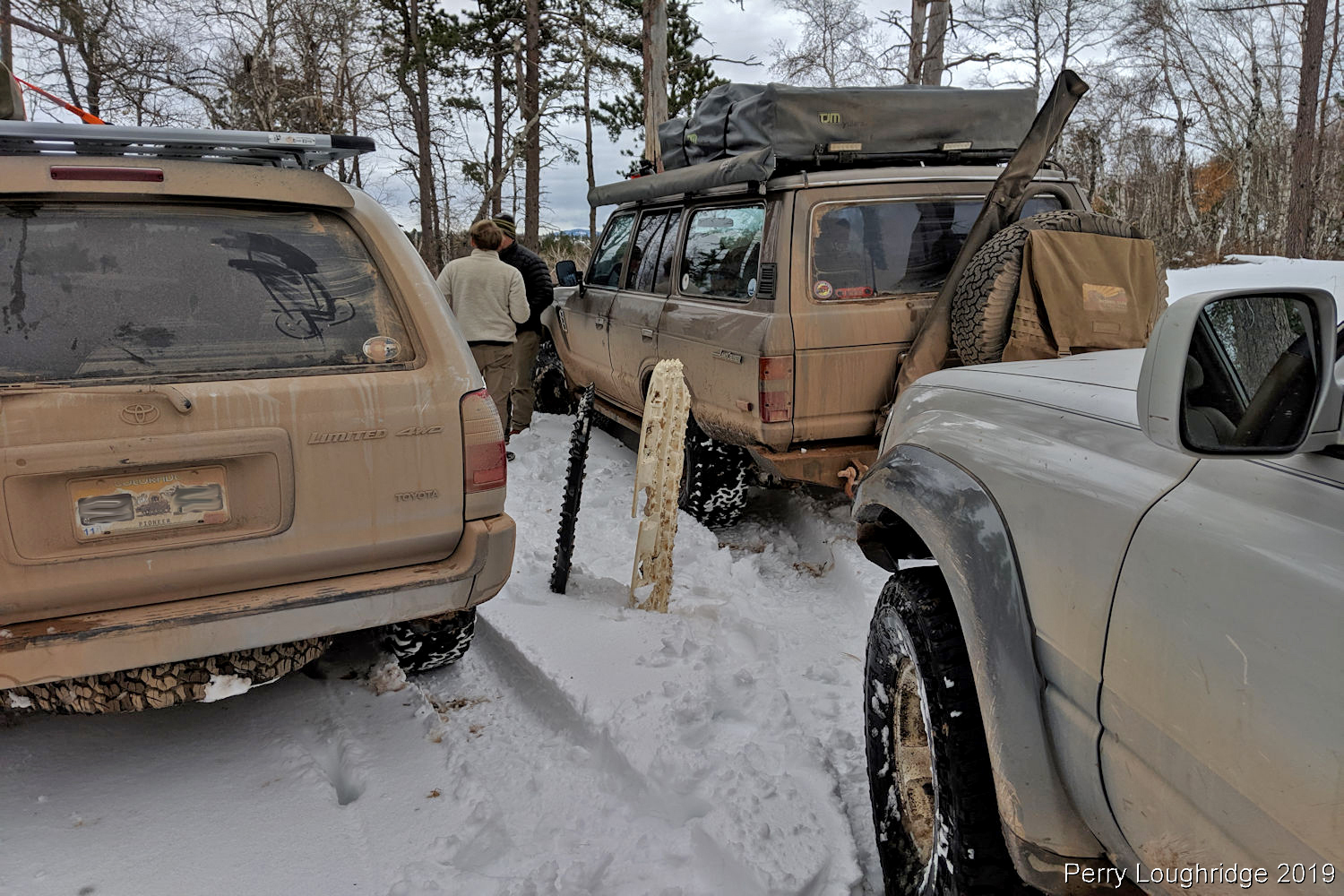
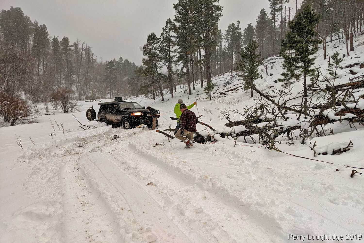
Stuck again. My friend Shawn was stuck just below me. With the group focused on getting him out, I set to get myself out. Tracks definitely came in handy!
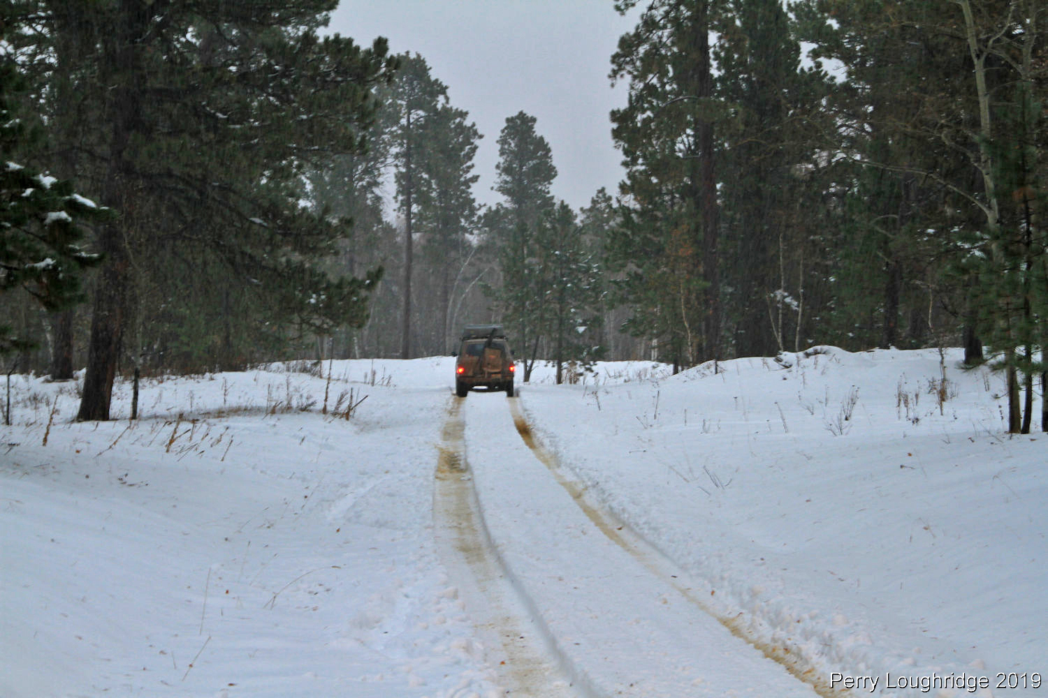
Back to making slow progress.
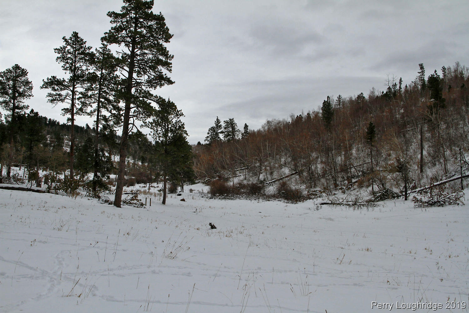
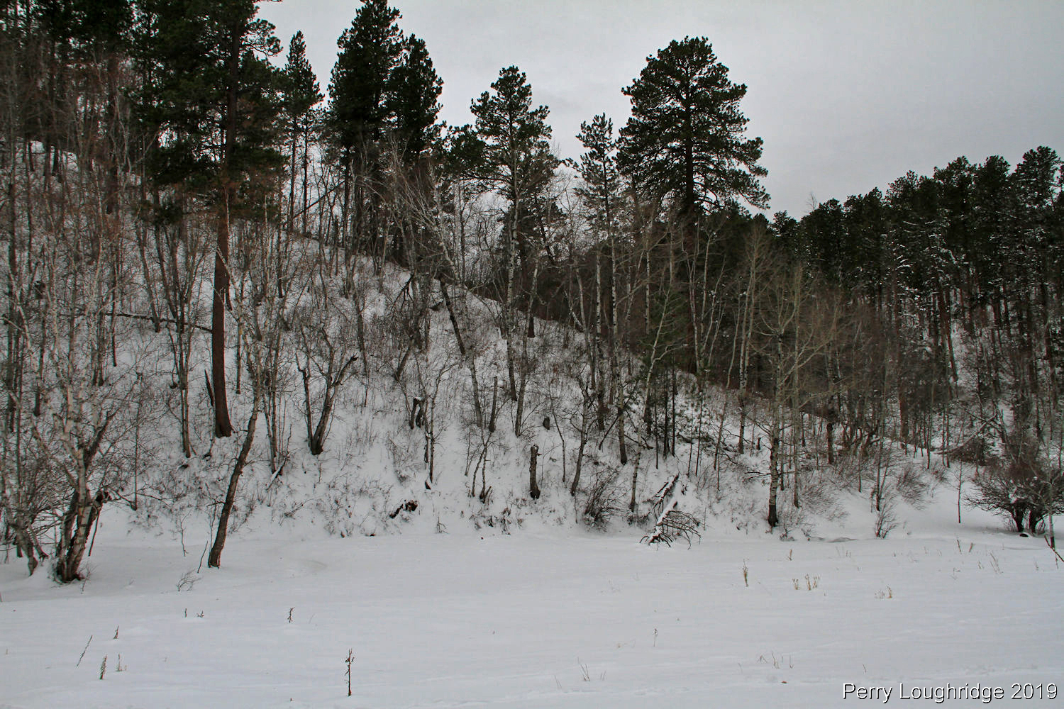
Started to get some views as we climbed in elevation.
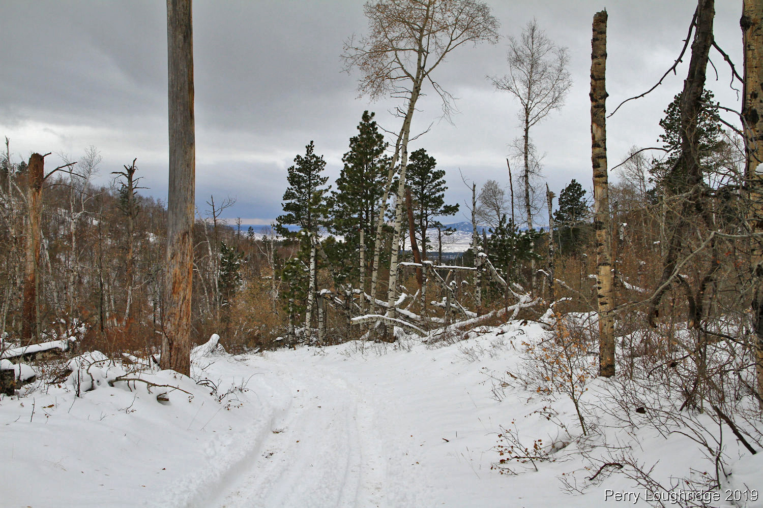
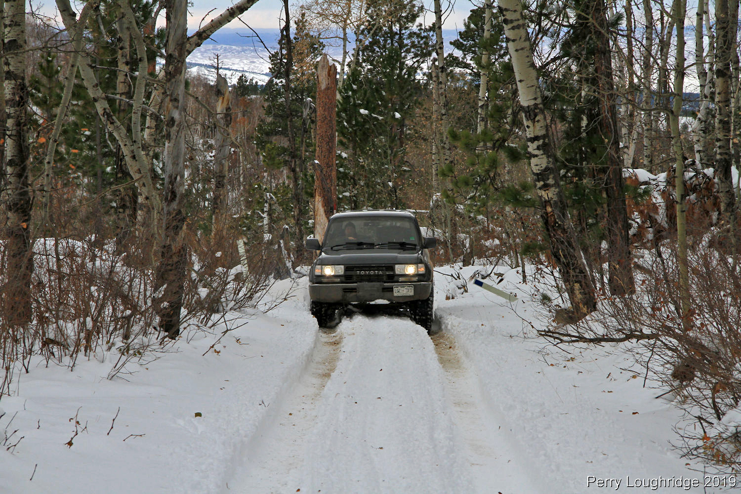
Finally made it to the top of the long hill climb.
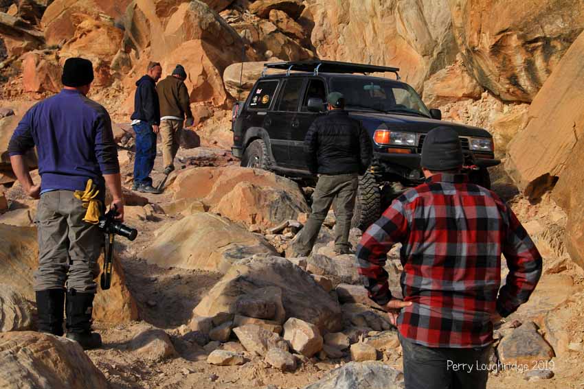
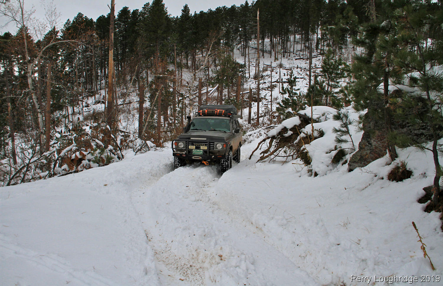
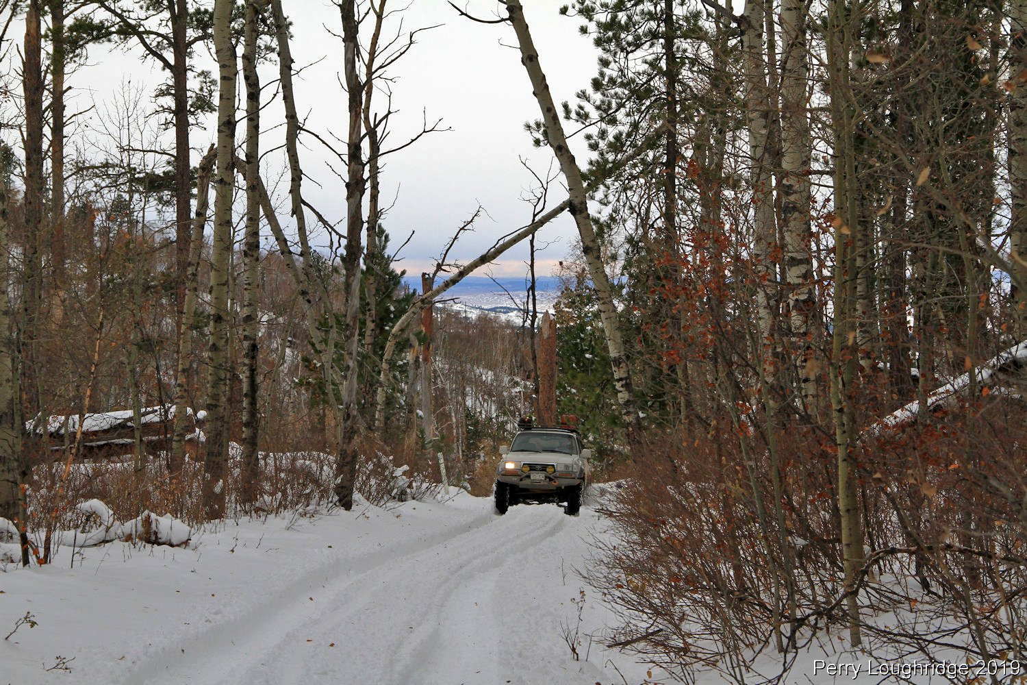
Land Cruisers in there natural habitat:). From this point, we were only a mile or sow from a major artery, but it seemed to take us forever to get out of this spot.
The snow starting to set in, along with the evening.
Matt Farr winching himself out again.
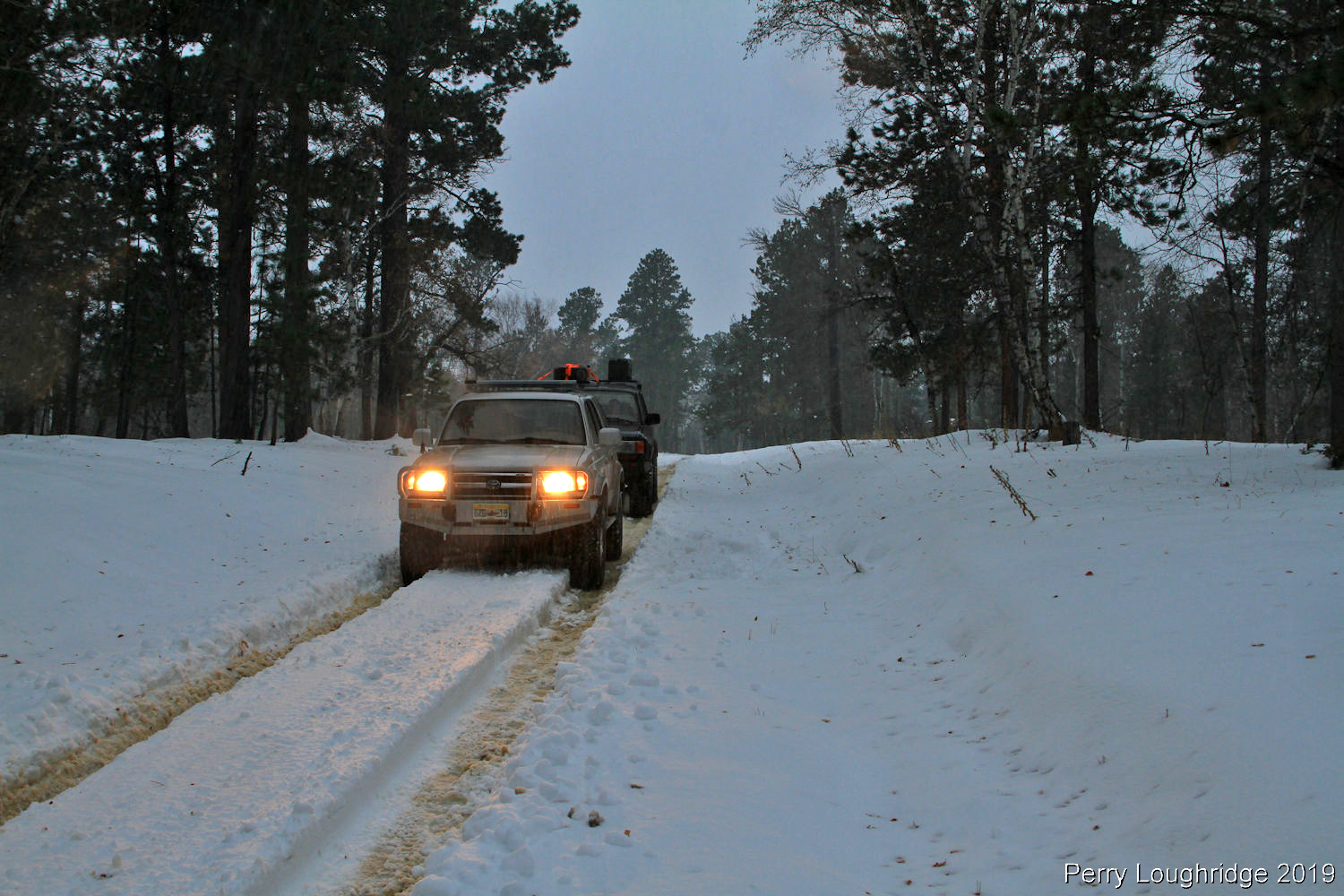
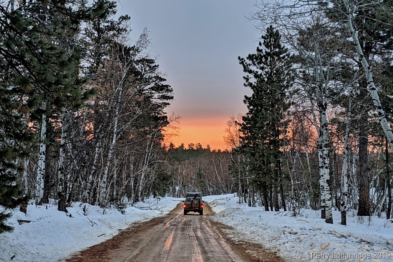
Finally back on a more traveled road and making progress towards Spearfish, SD.
It seemed like everything cleared up once we were off that Surprise Gulch road. The skies, roads and weather turned as we headed towards Spearfish, SD. I couldn’t pass up this view.
End.