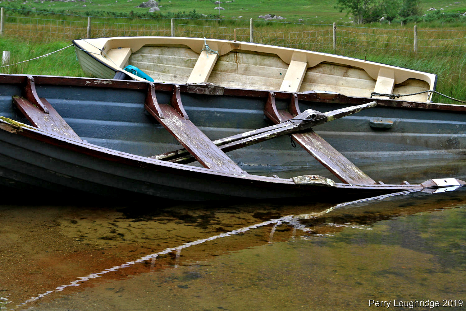
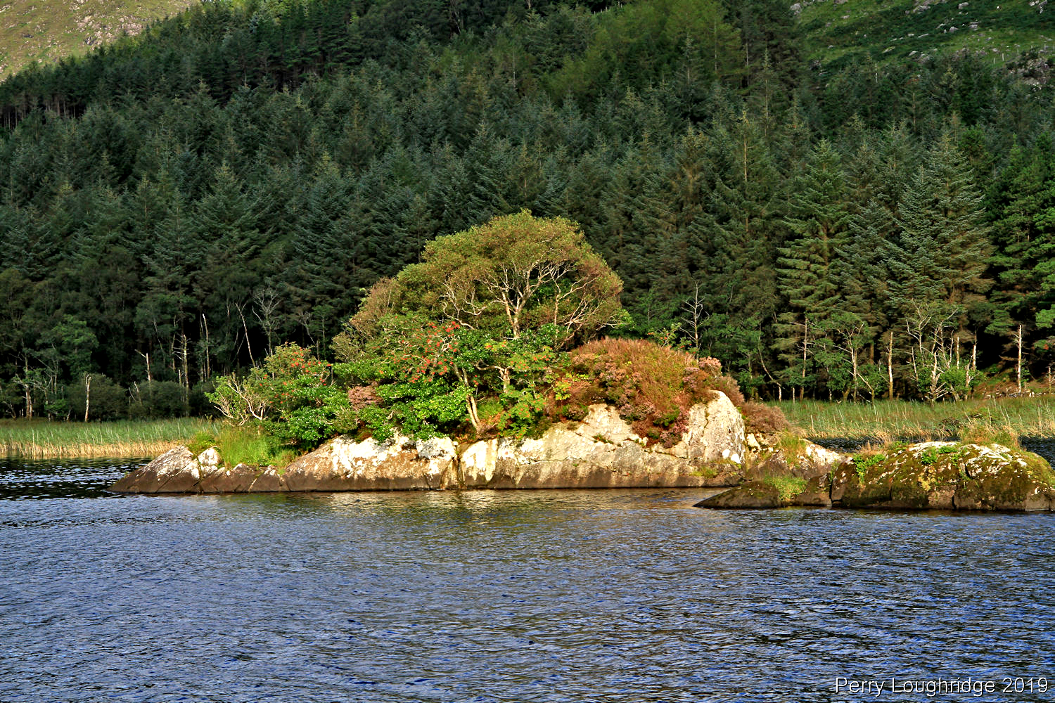
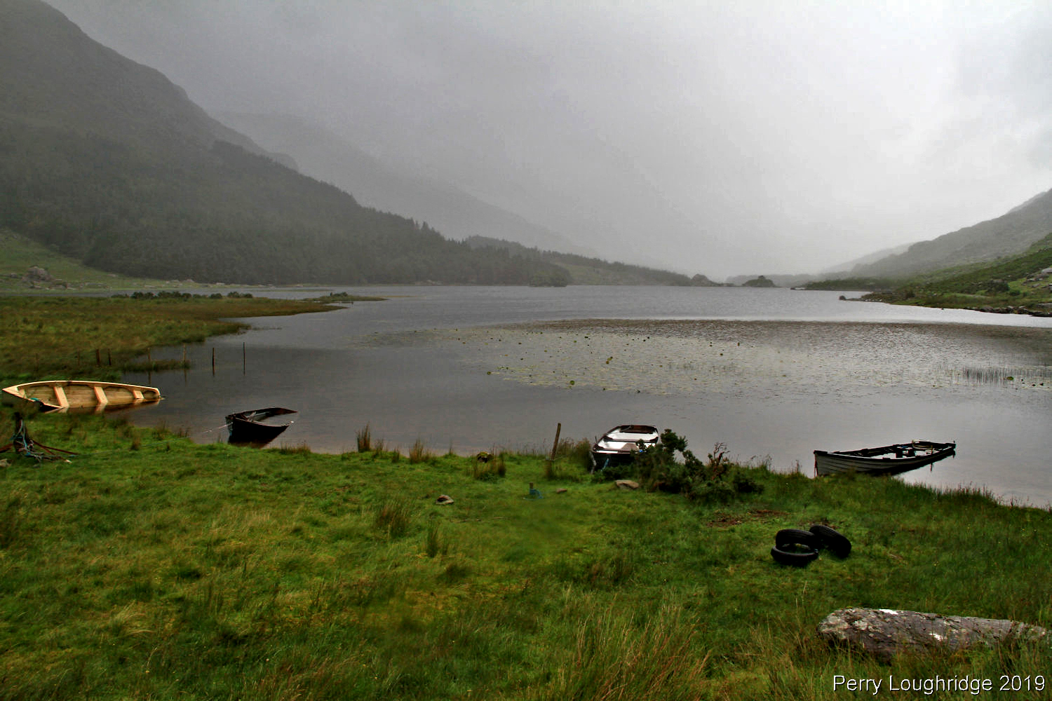
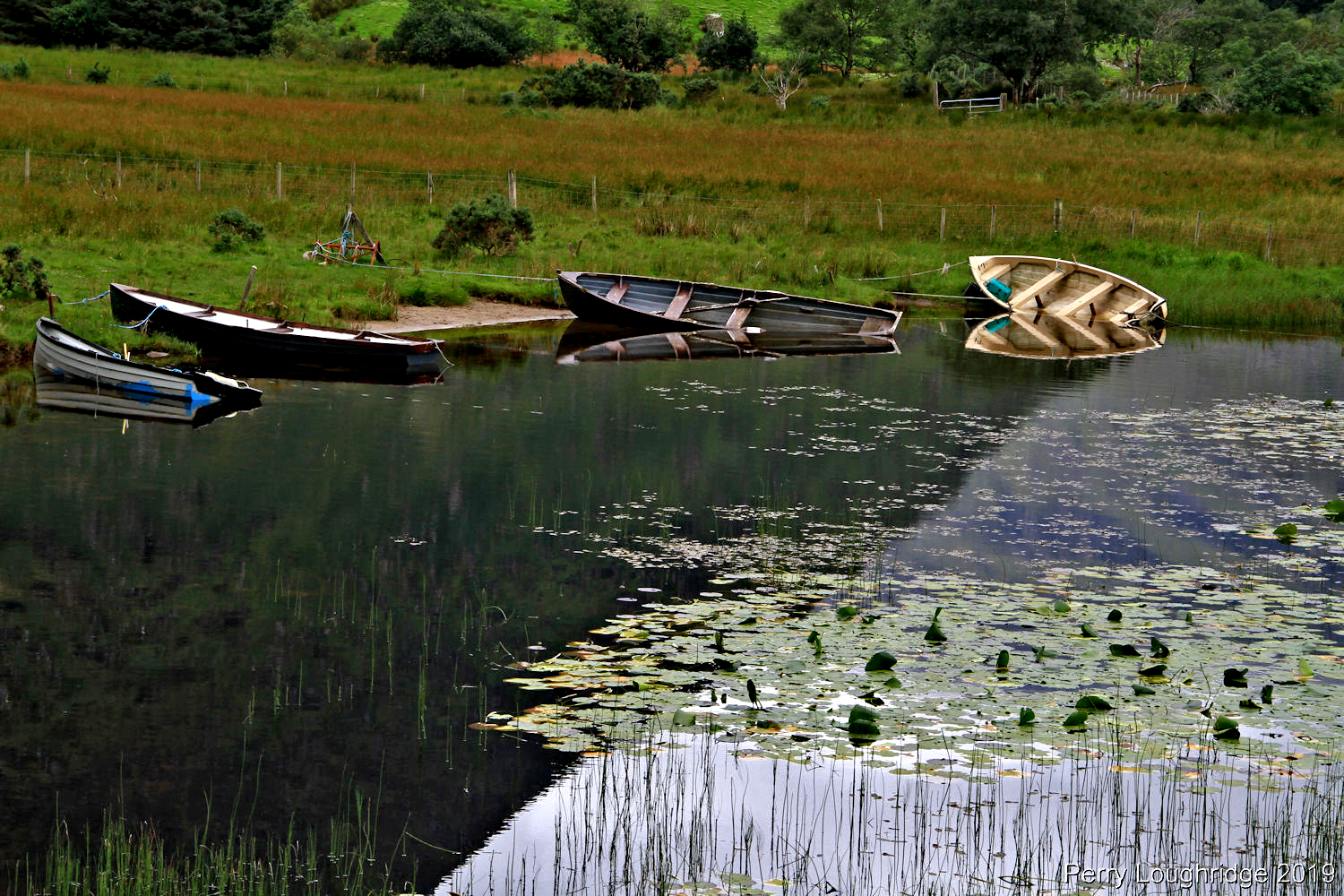
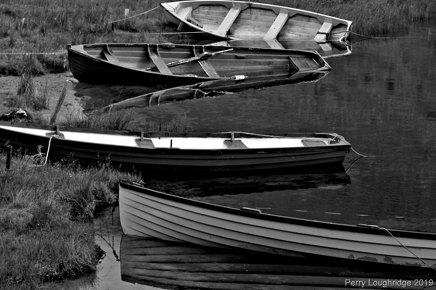
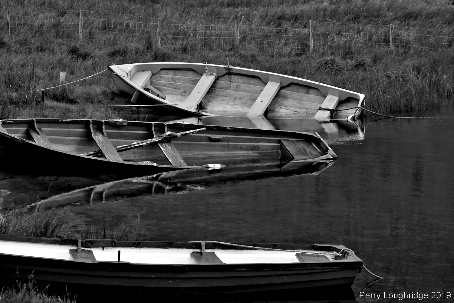
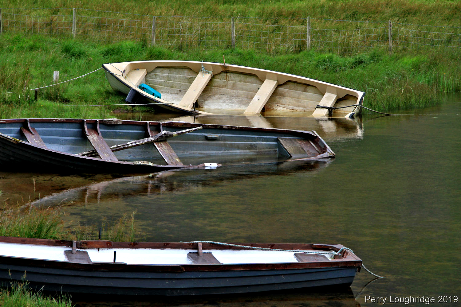
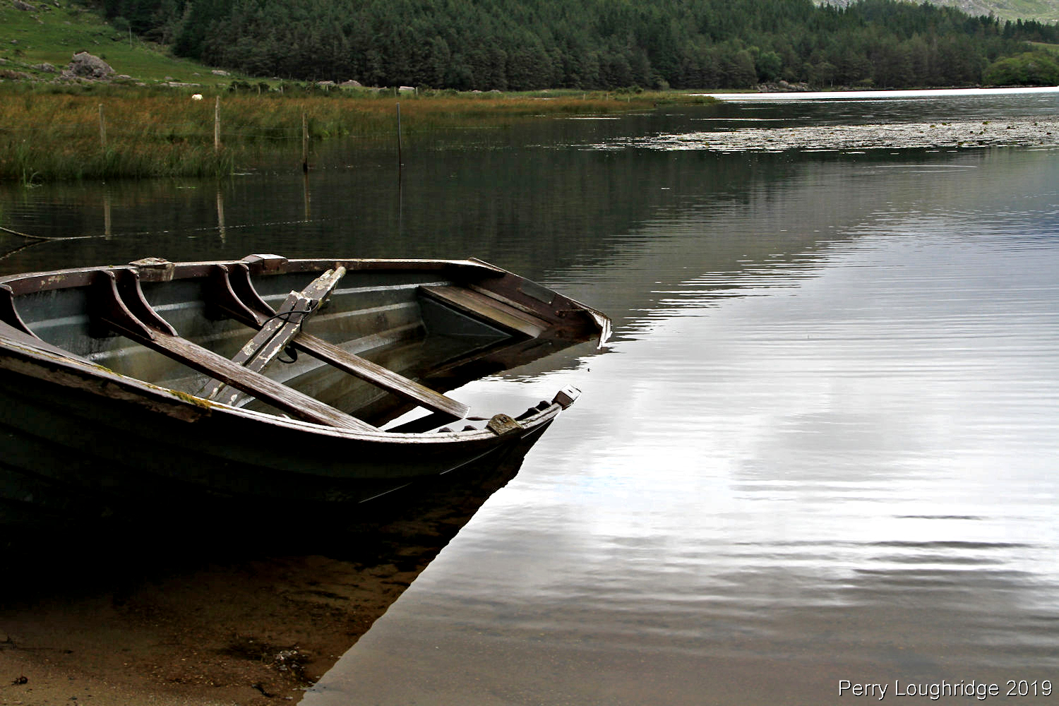
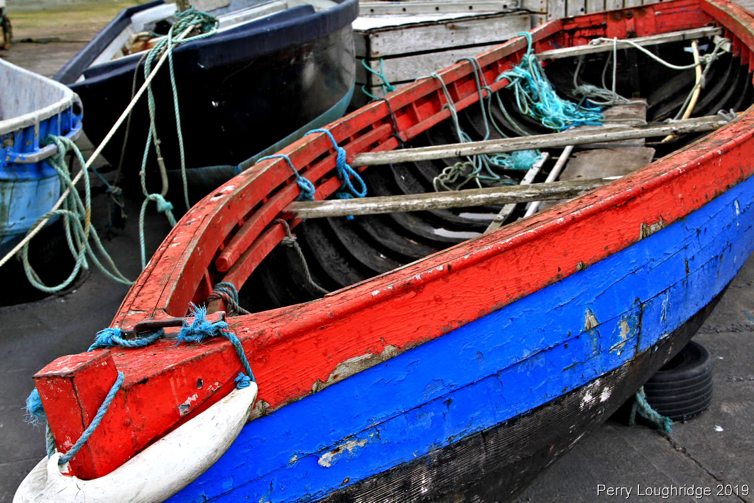
More of the boats from the upper end of Lough Gummeenduff.
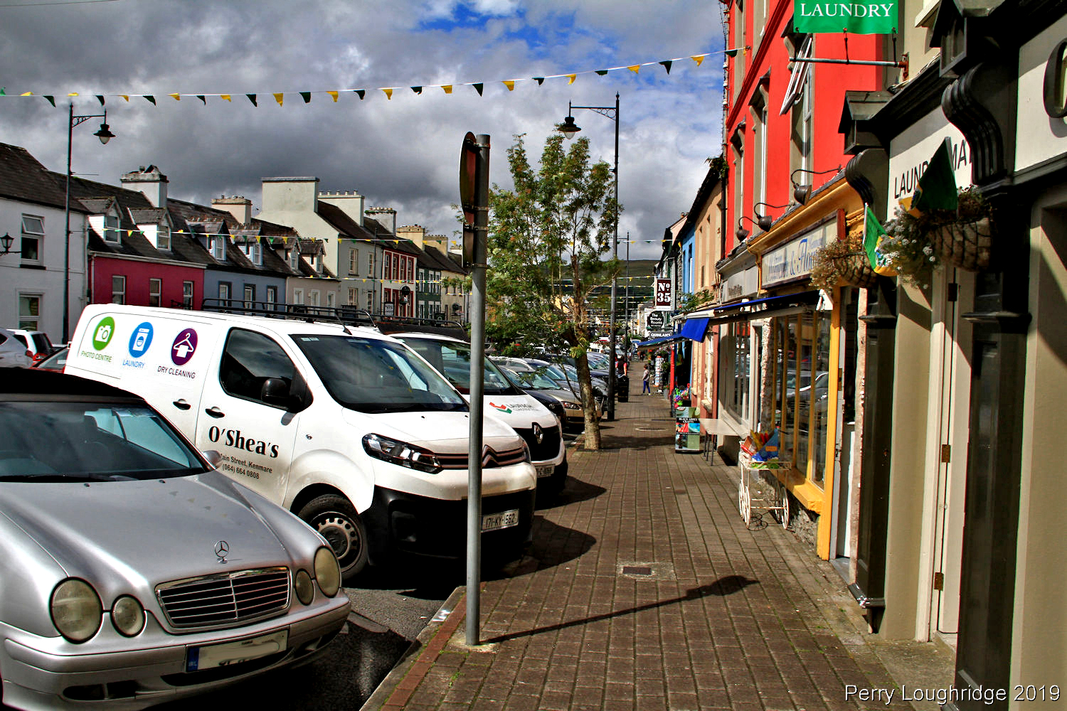
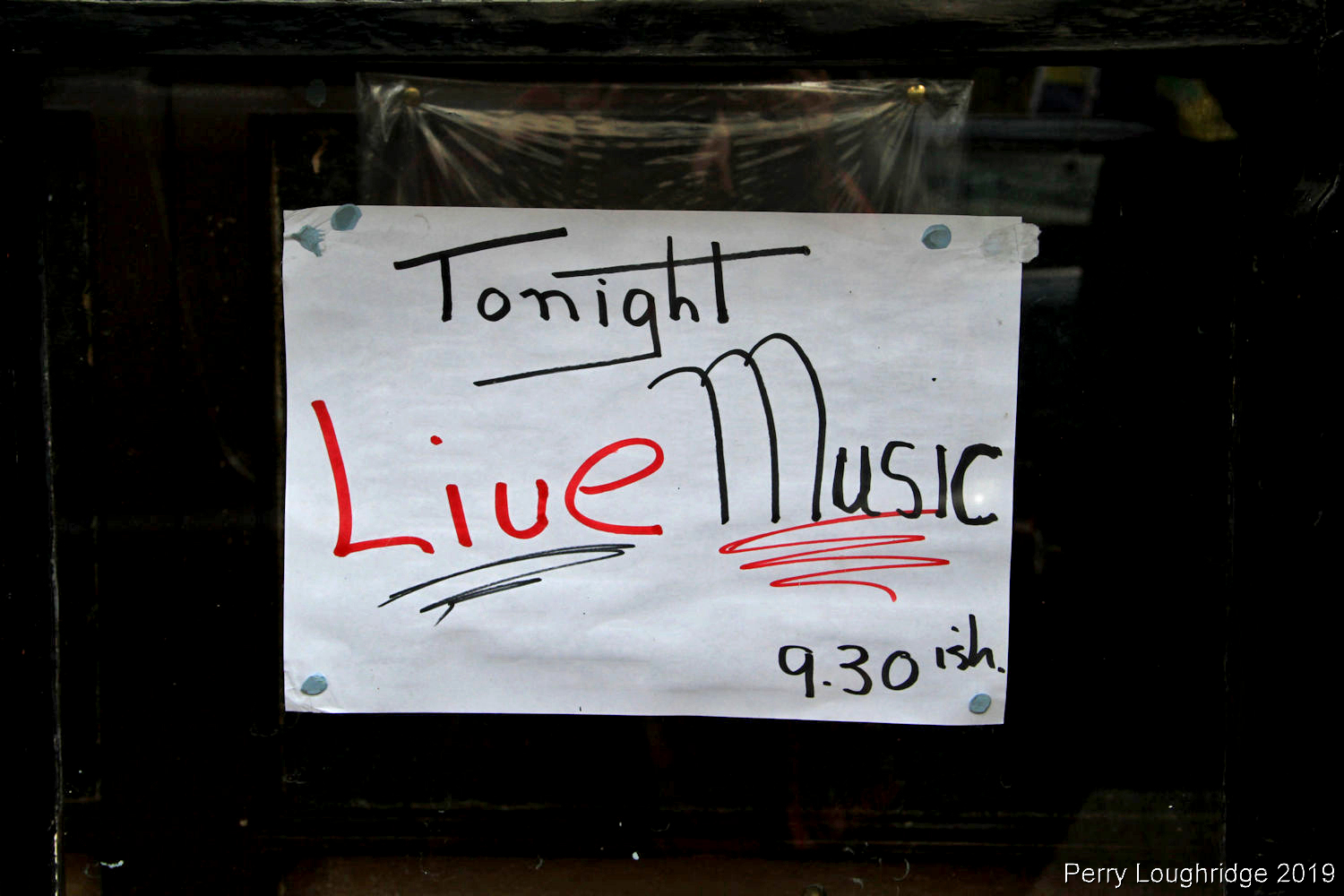
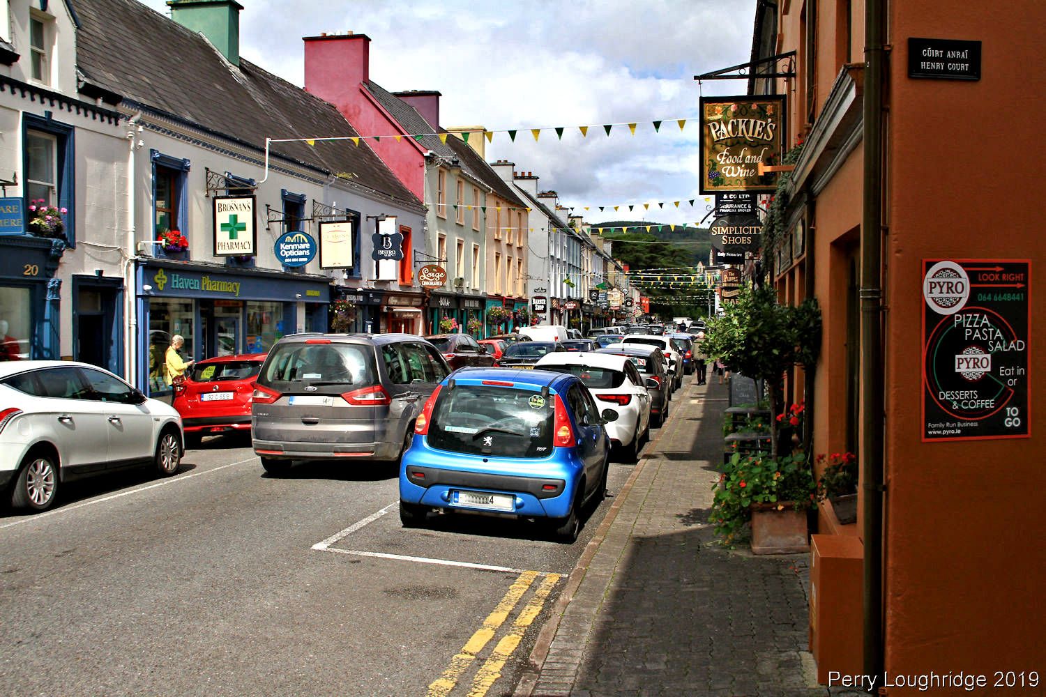
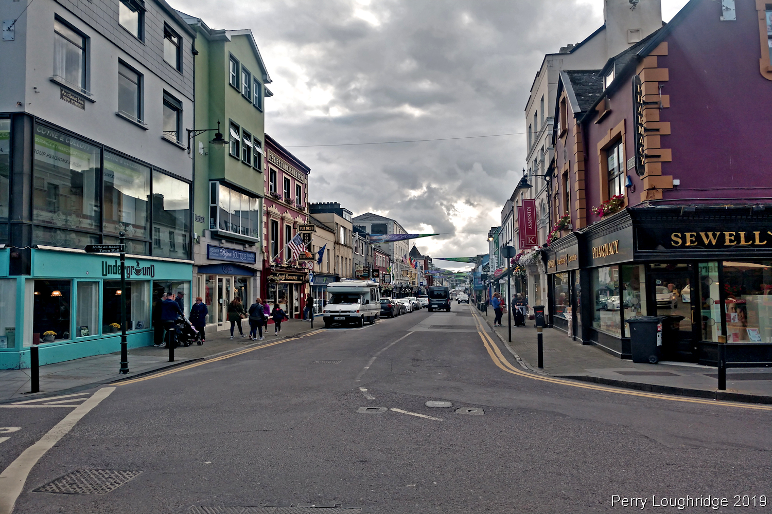
I took a break from hiking around the loughs and took a drive down to Kenmare, Co Kerry. An enjoyable little town along the Ring of Kerry. Enjoyed a nice lunch and was able to stock up on some supplies before heading back to the hostel.
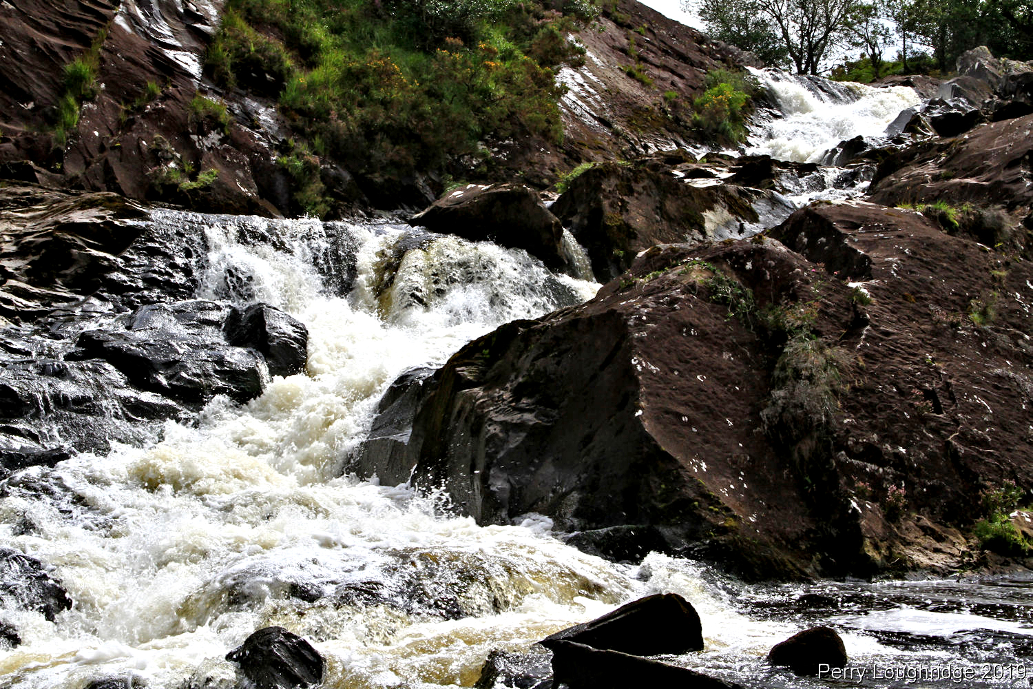
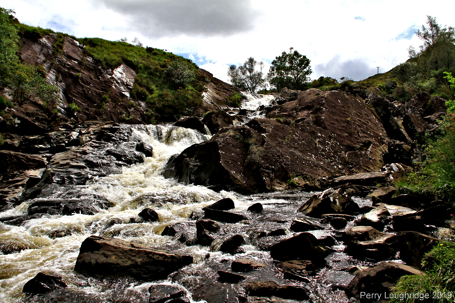
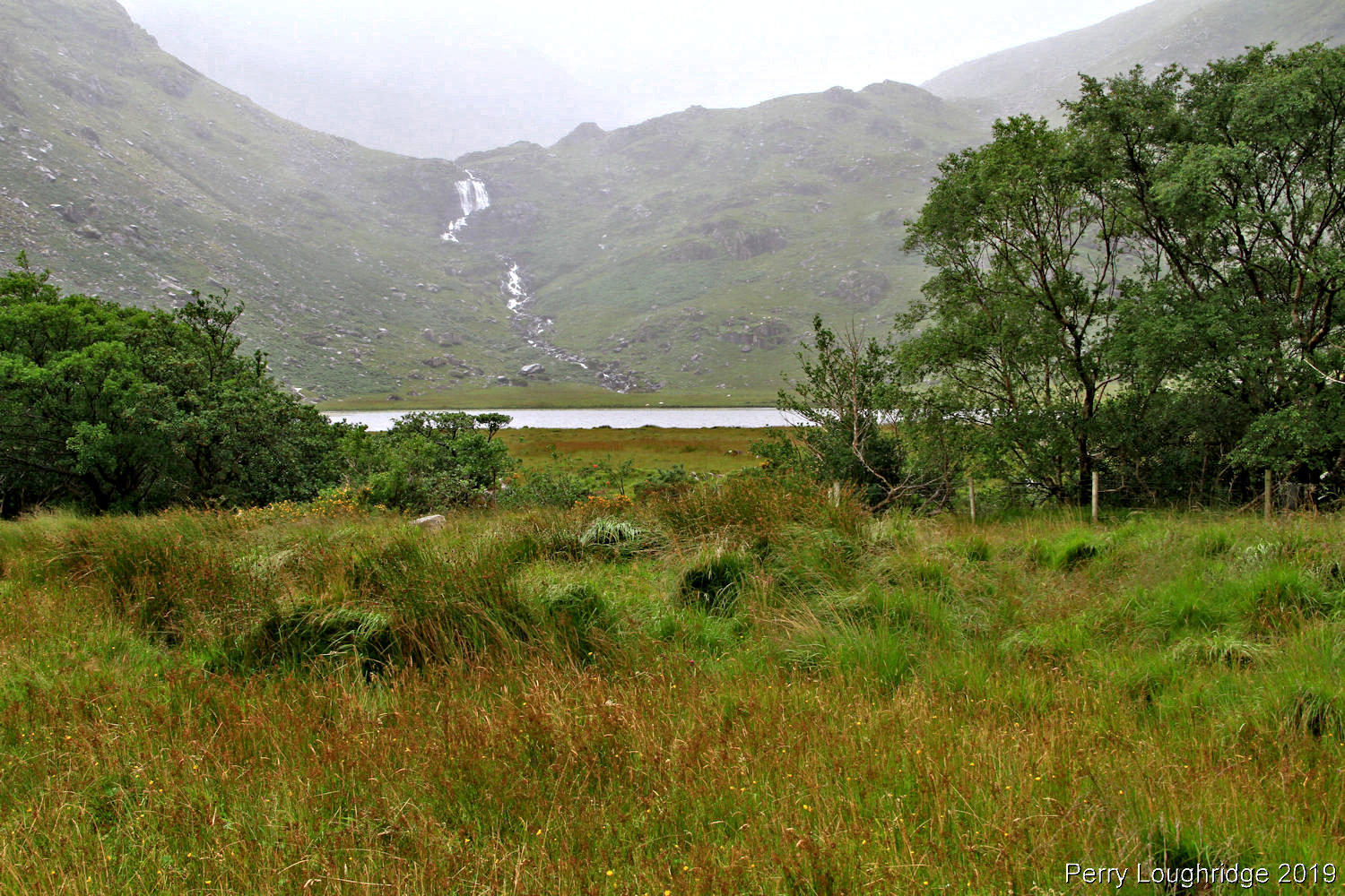
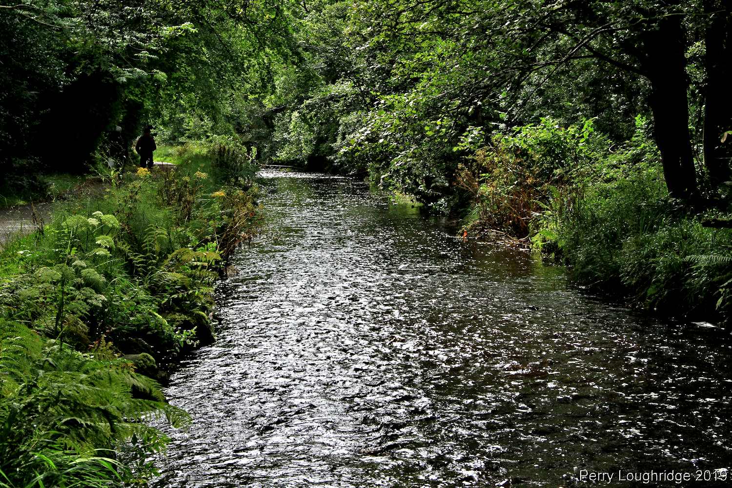
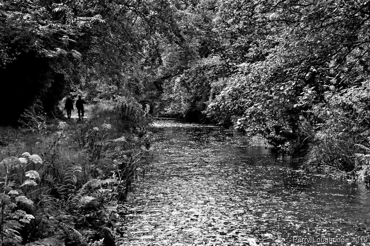
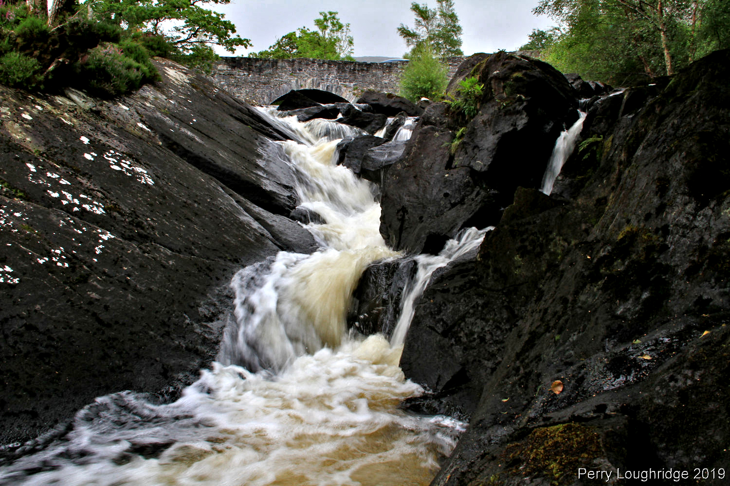
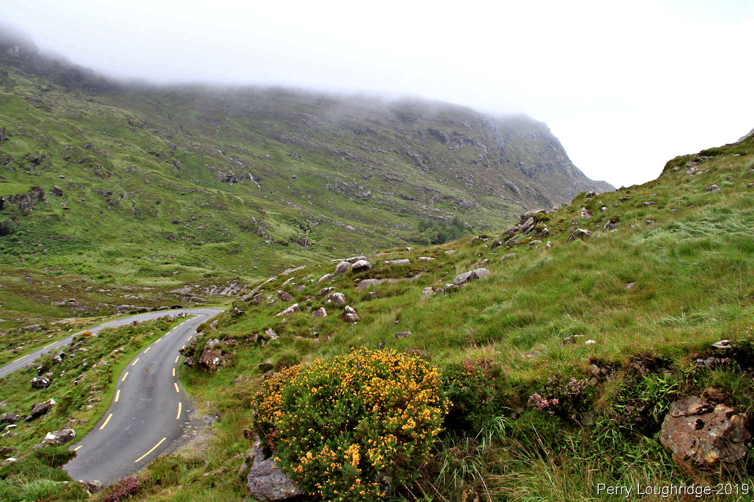
Stopped to check out this small waterfall along the road as I made my way back to the hostel.
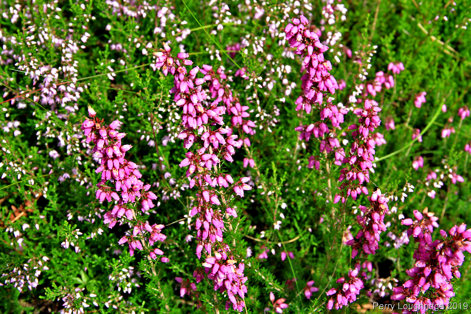
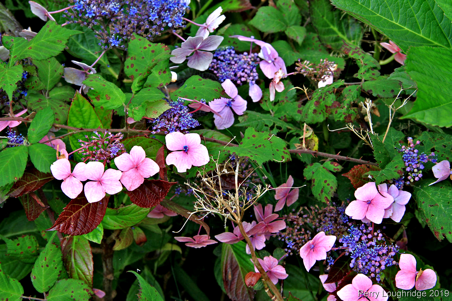
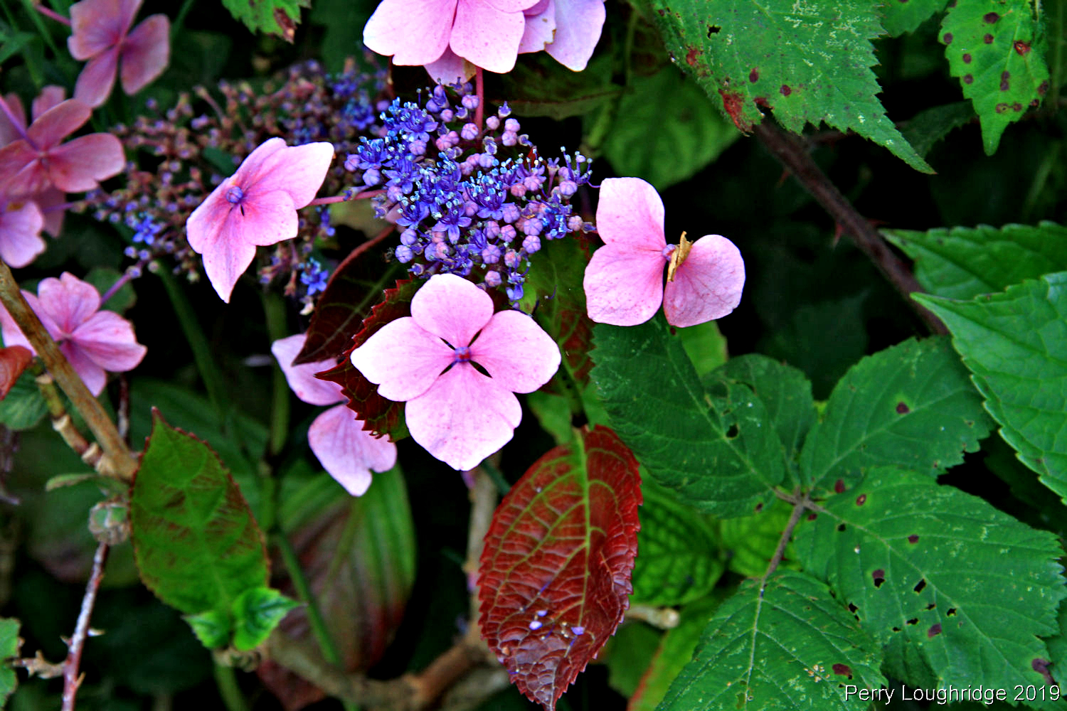
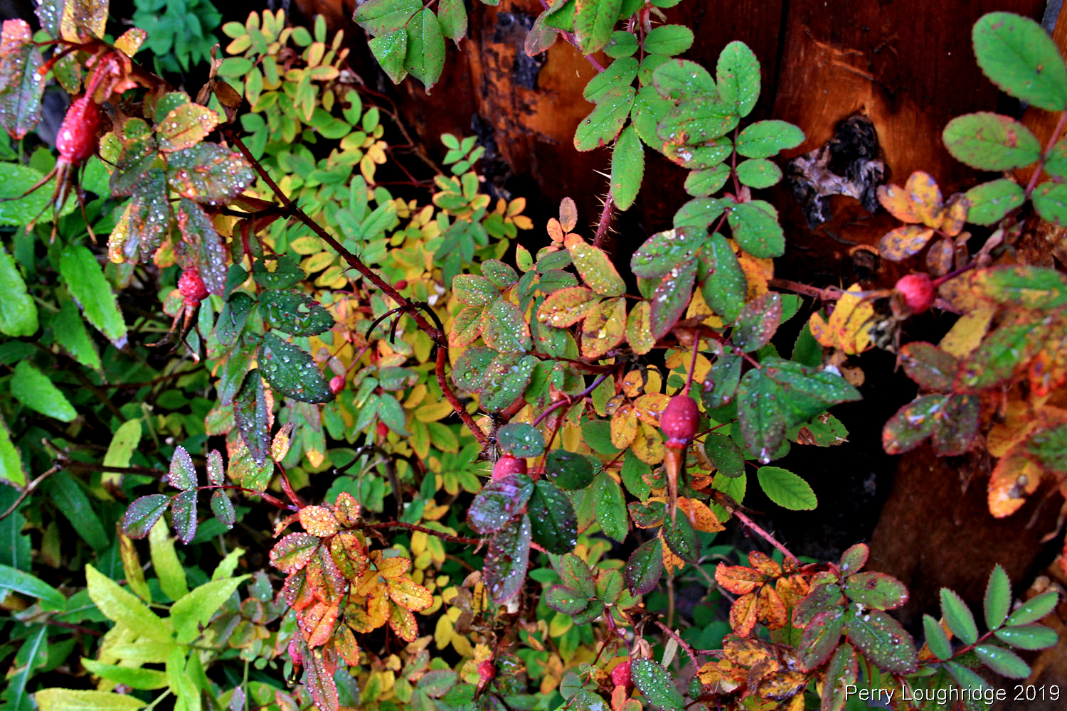
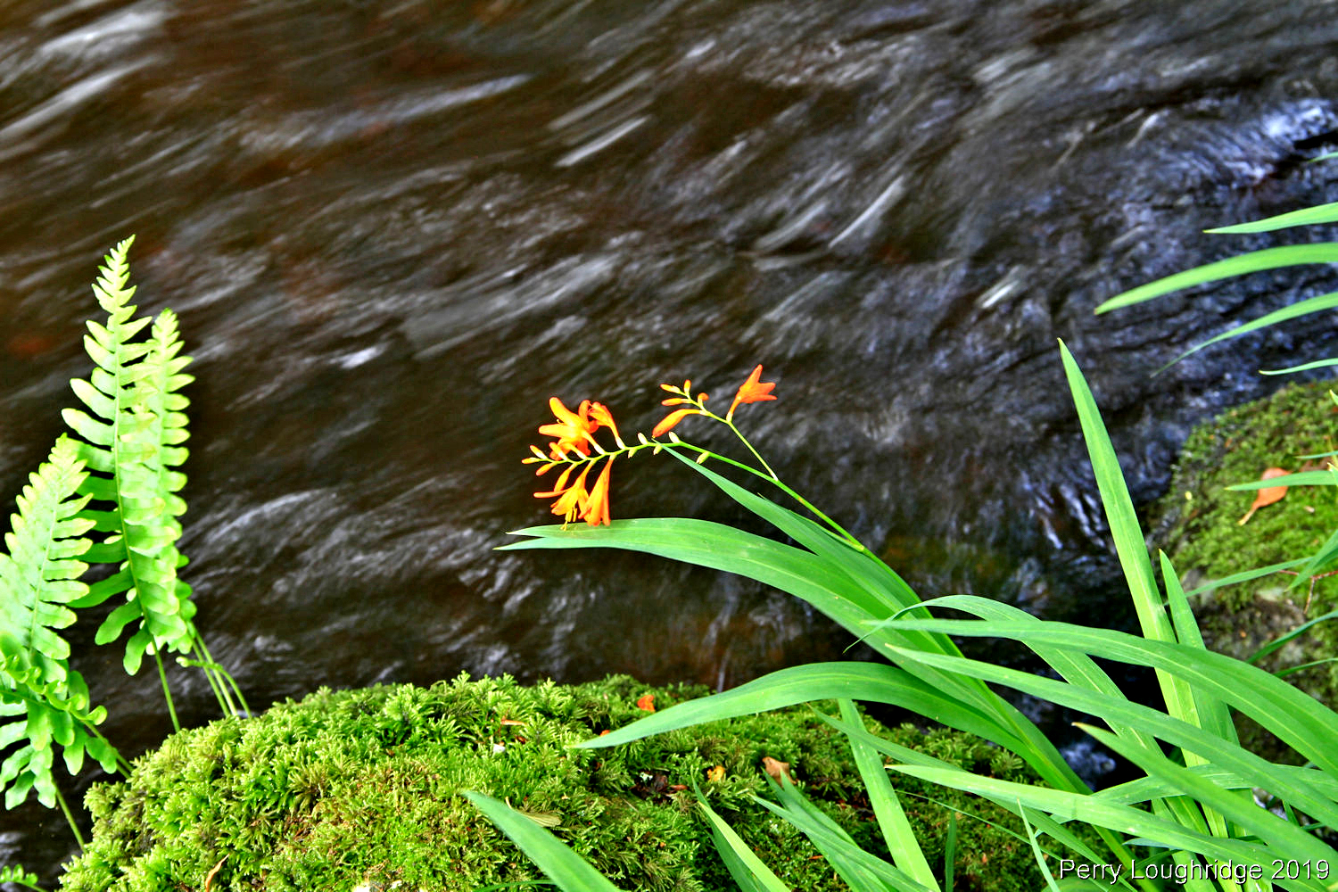
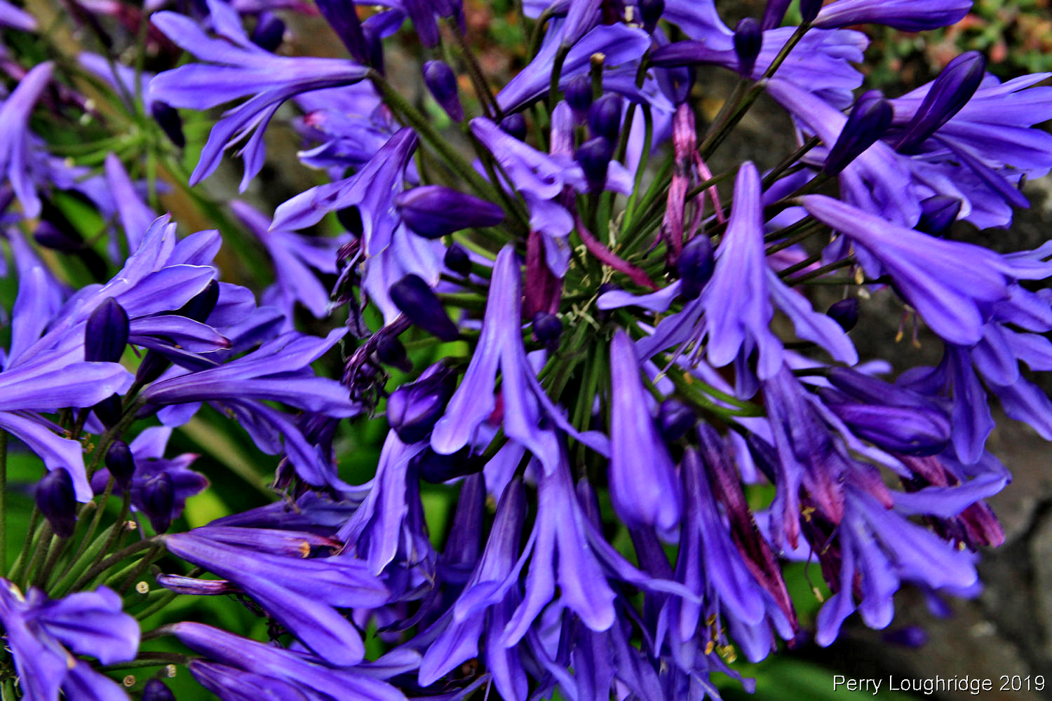
A few wildflowers were still out.
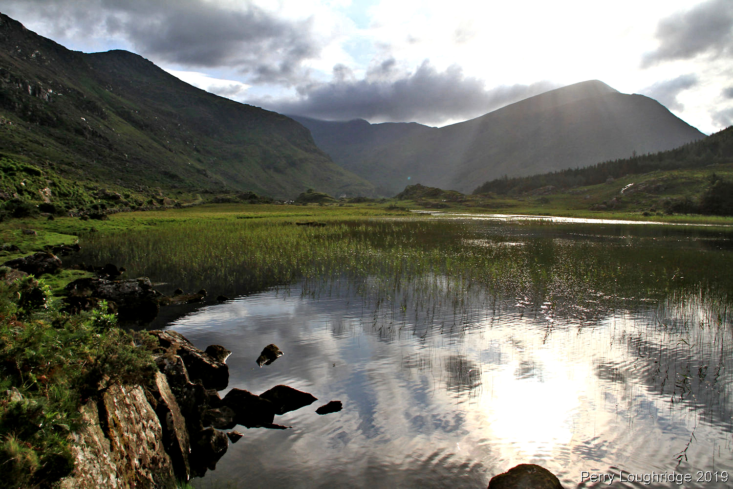
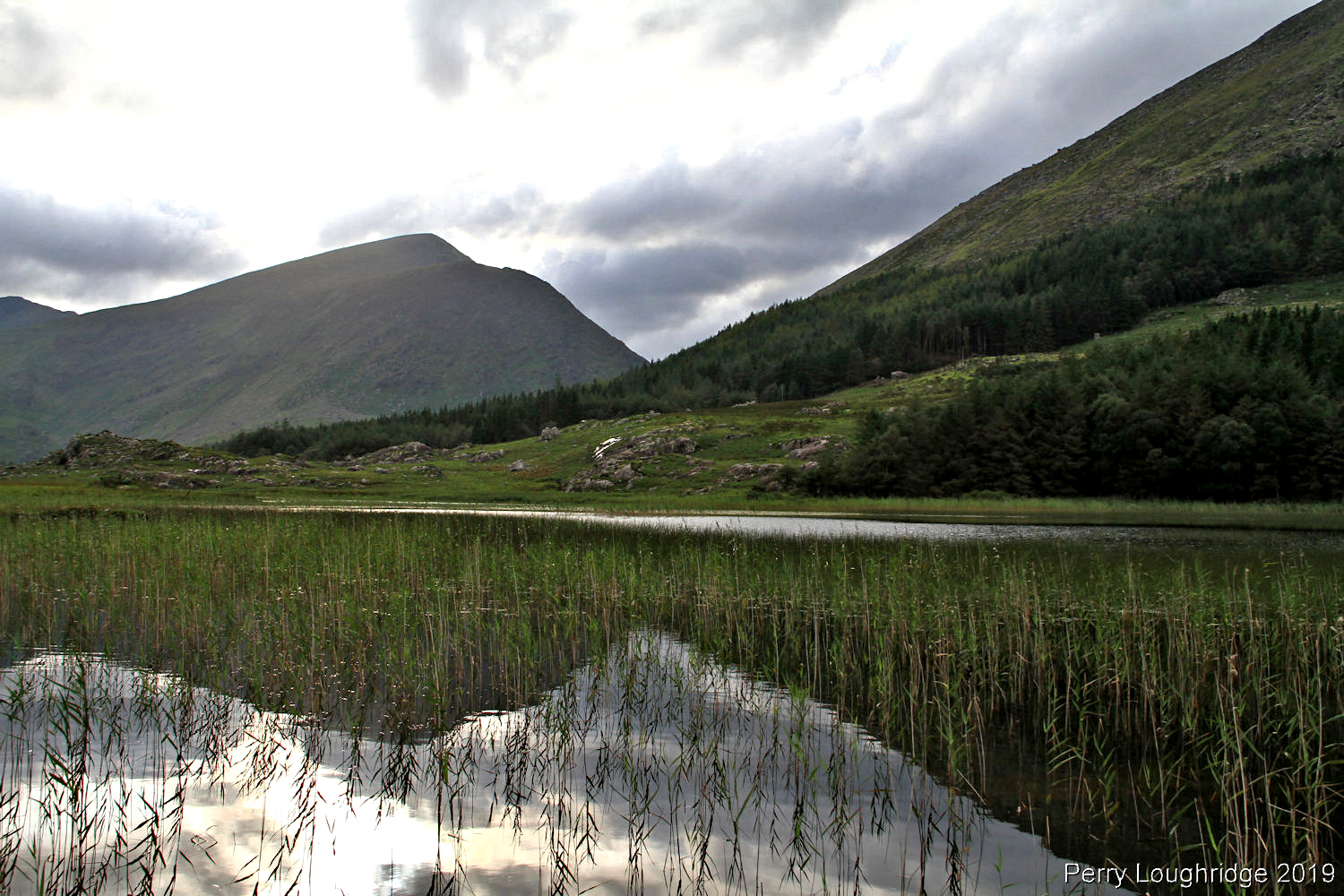
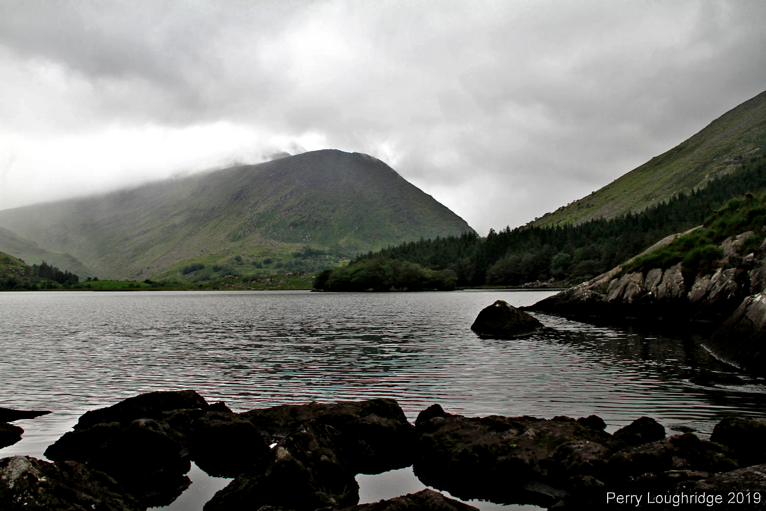
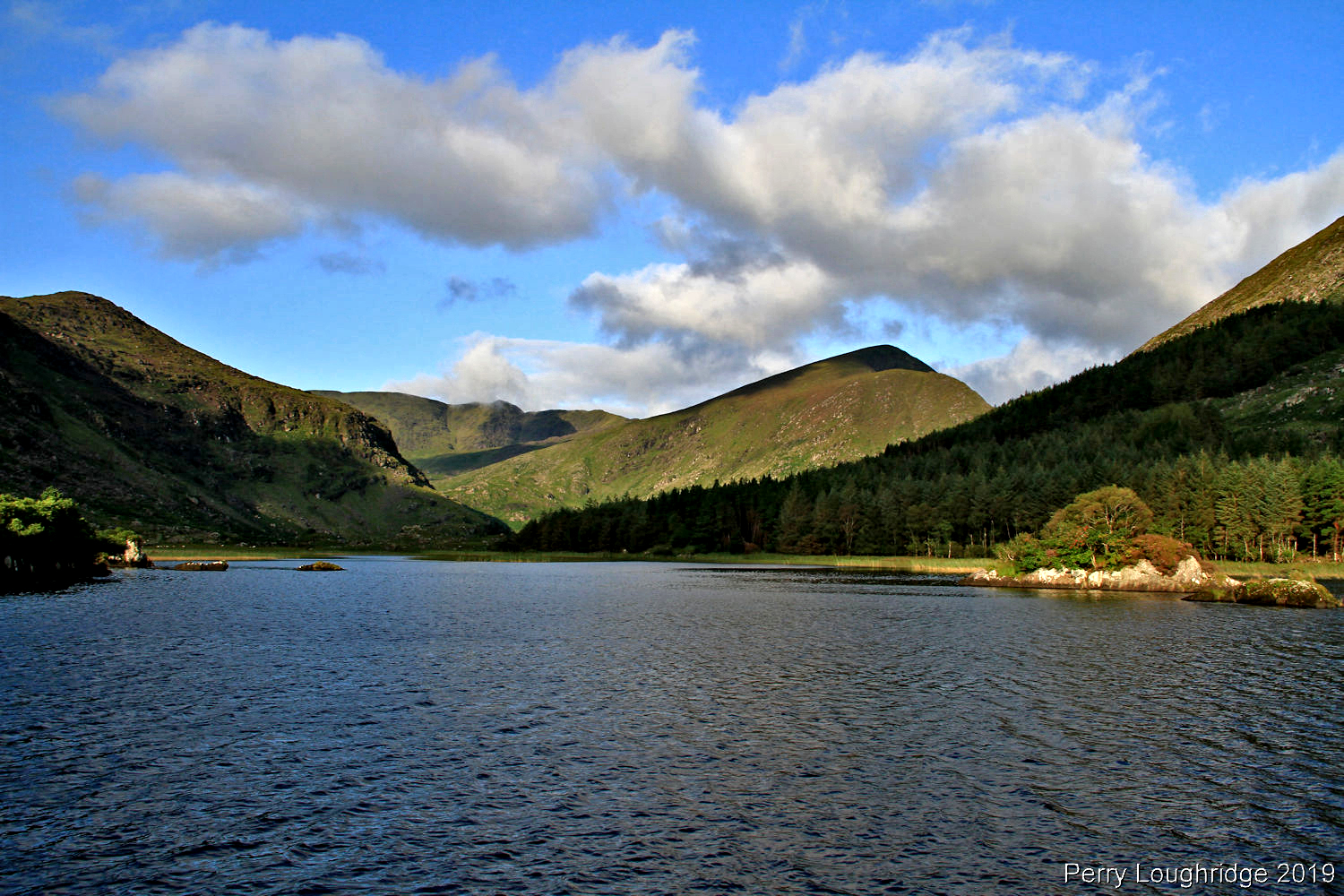
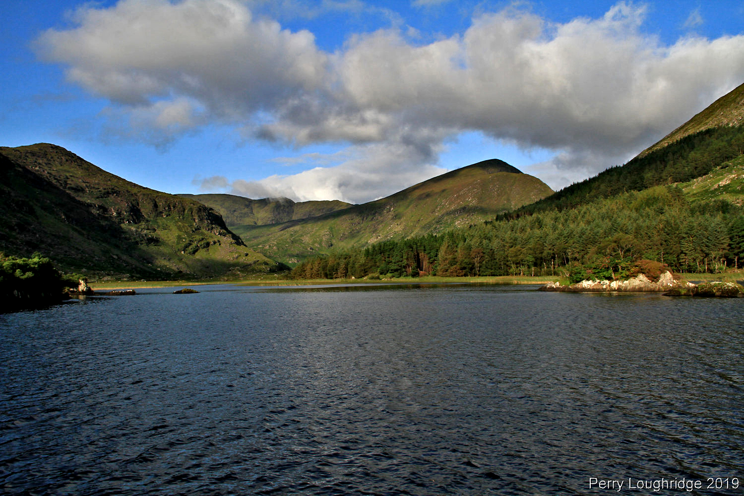
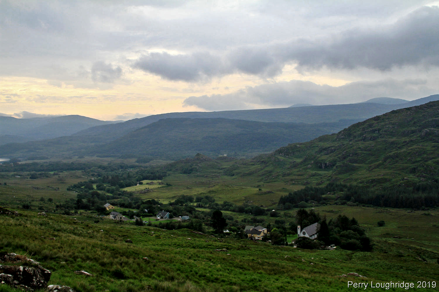
After getting back from Kenmare, I headed back to Lough Gummeenduff. Was nice to see the sun trying to break free from the clouds. A most relaxing evening.
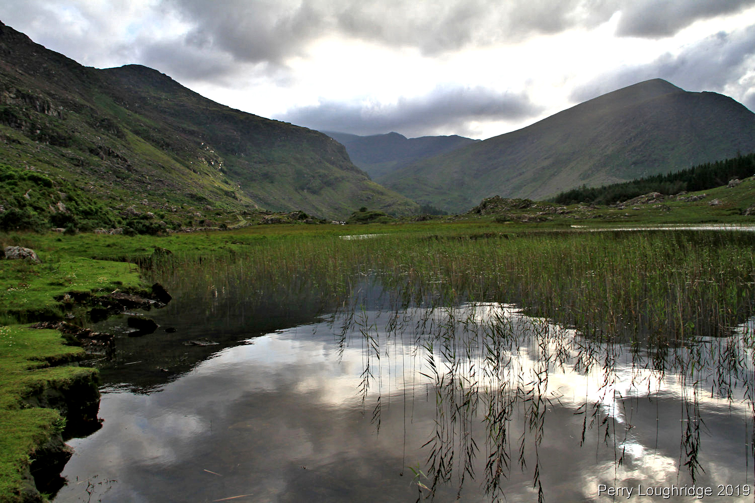
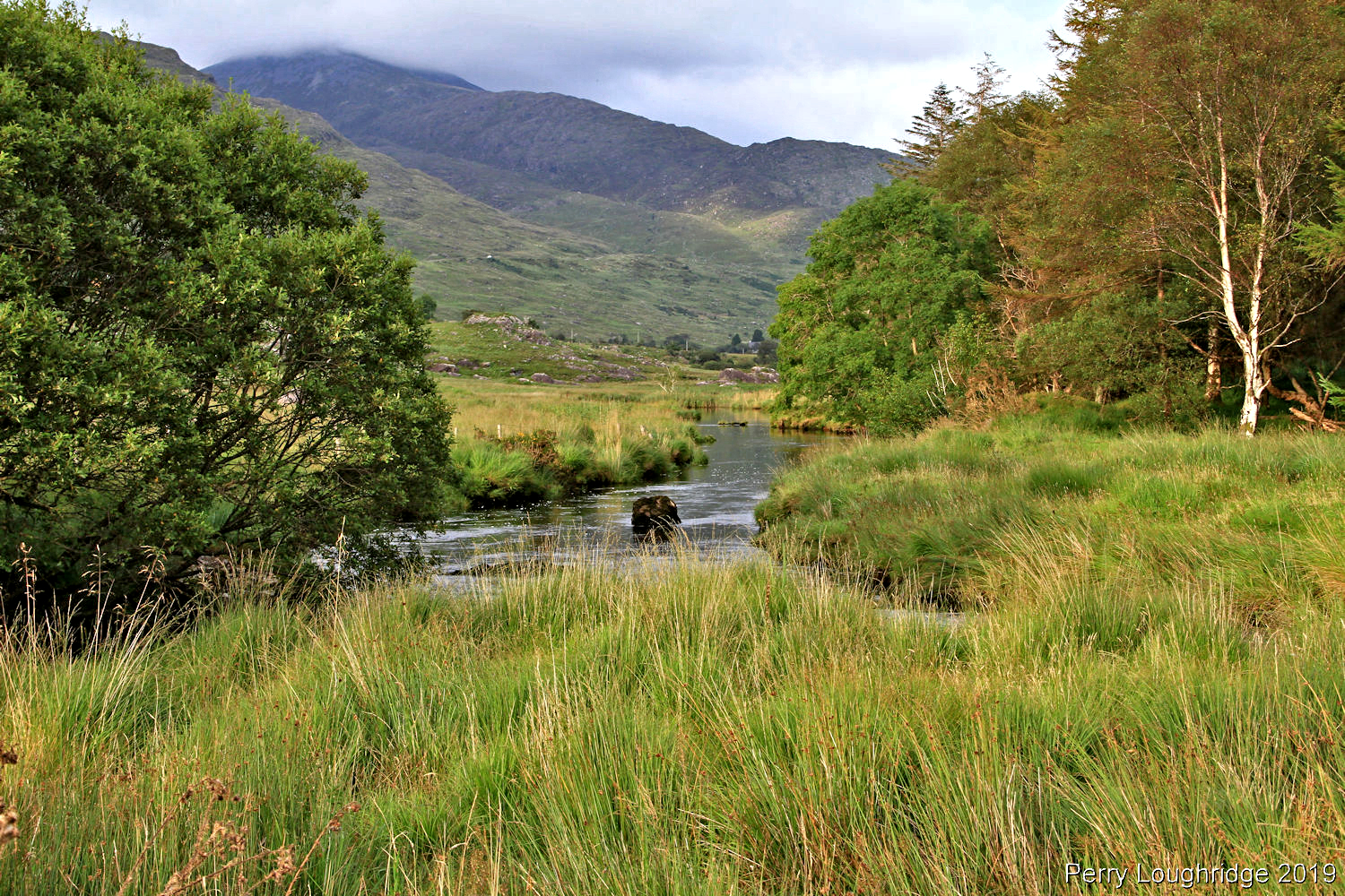
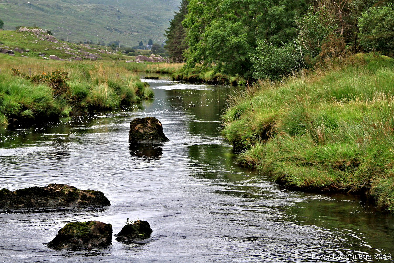
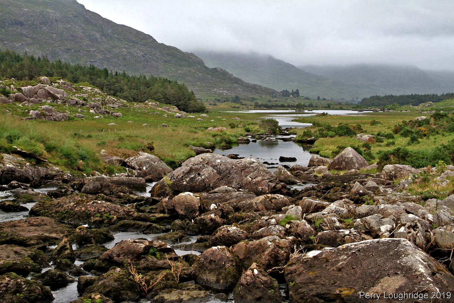
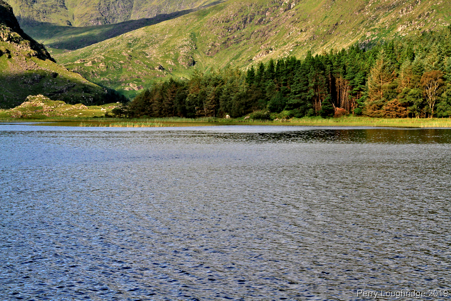
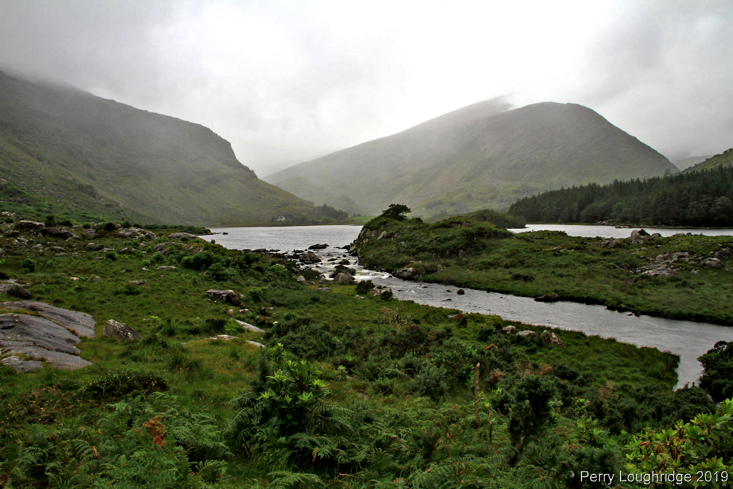
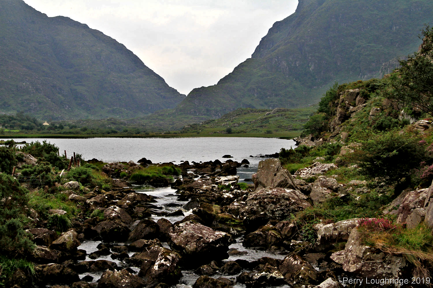
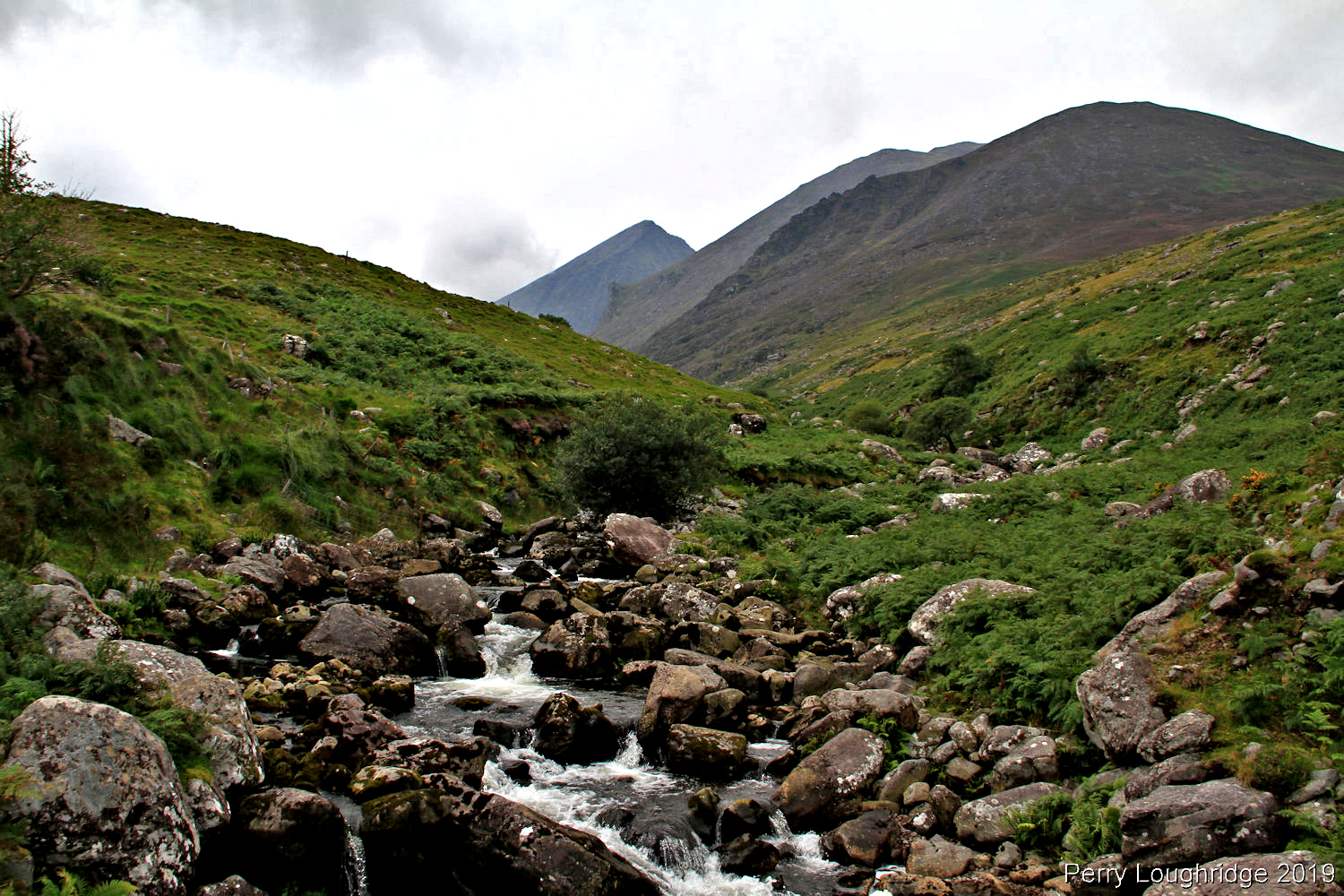
Gearhameen River. Feed by Lough Duff and Lough Reagh, high in the MacGillycuddy Reek’s, to the west, and above Lough Gummeenduff and Black Valley.
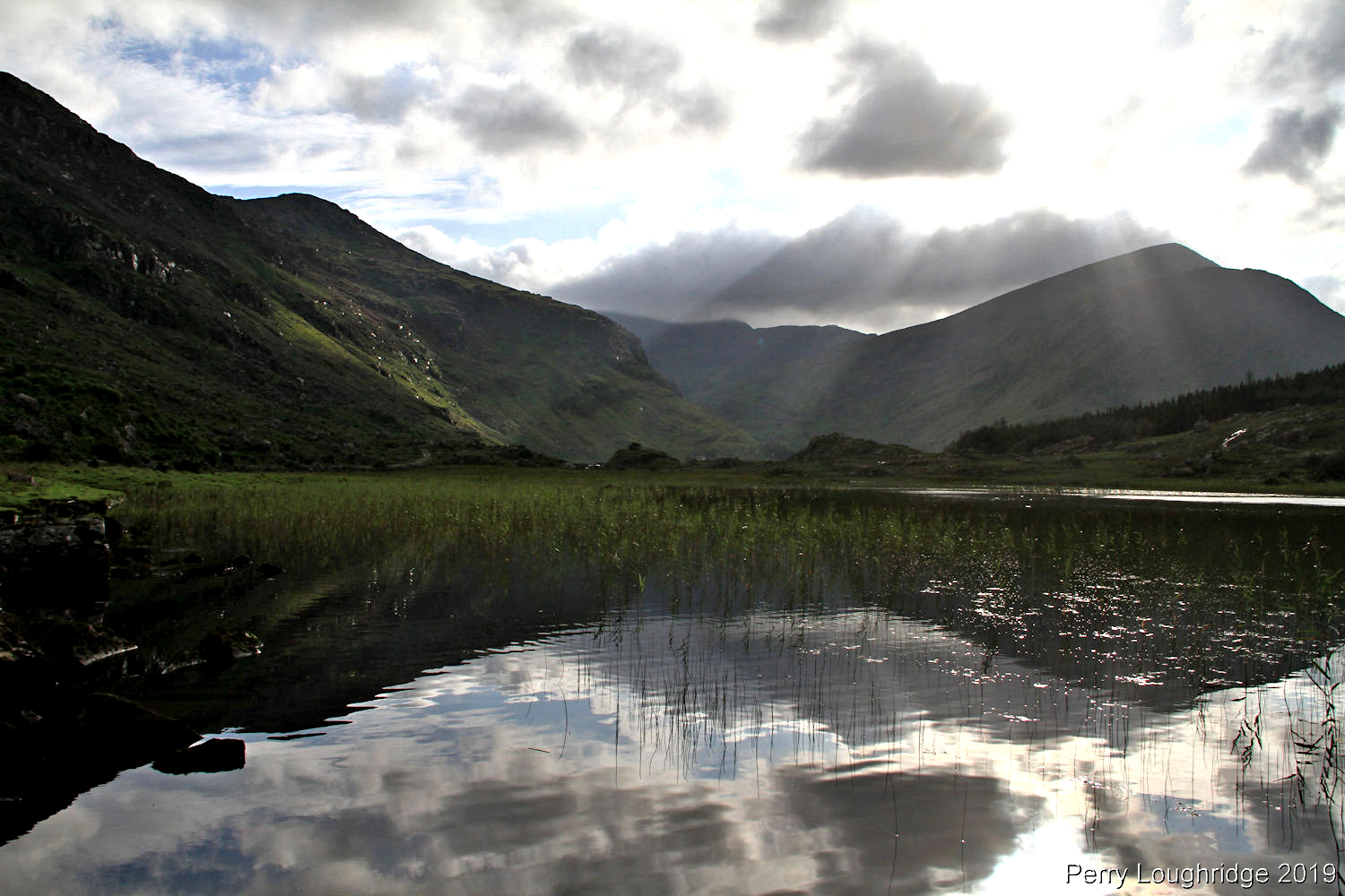
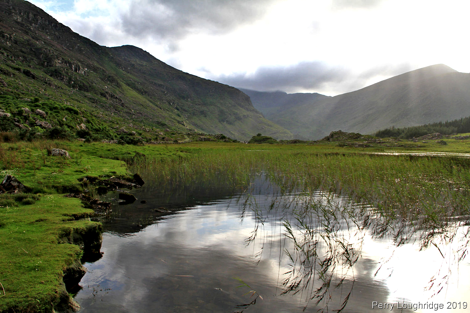
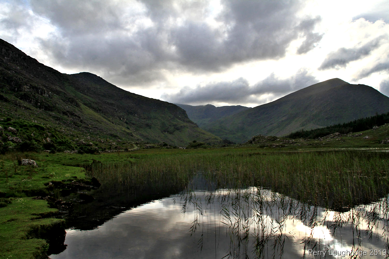
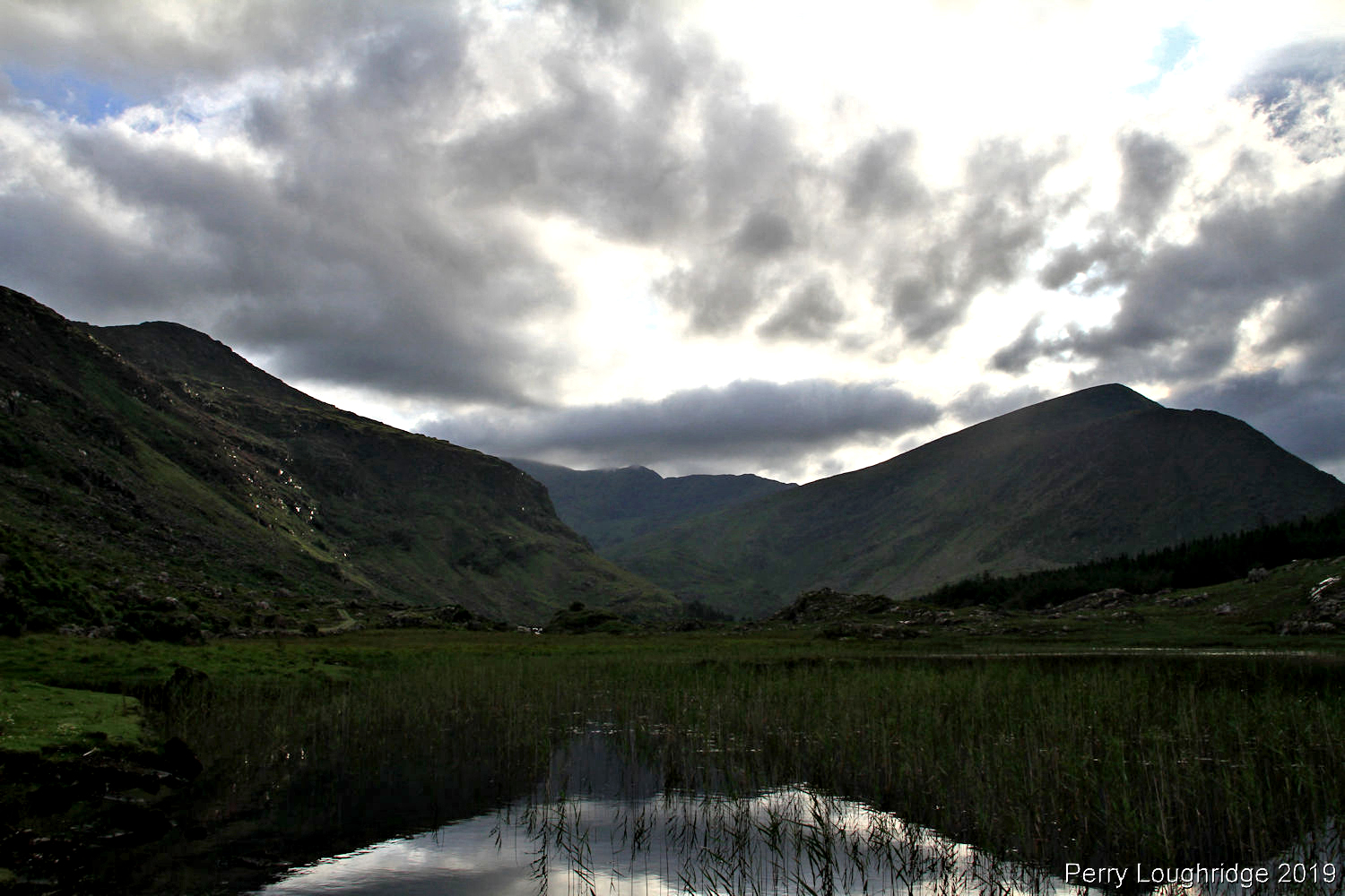
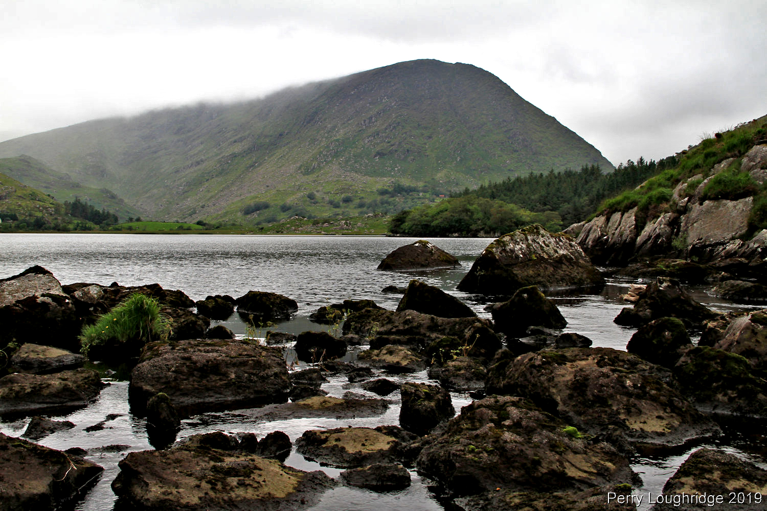
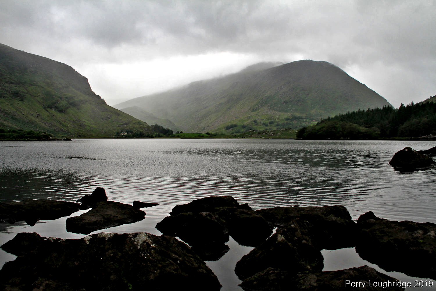
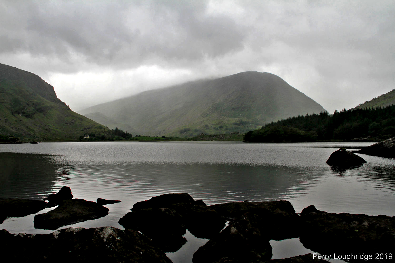
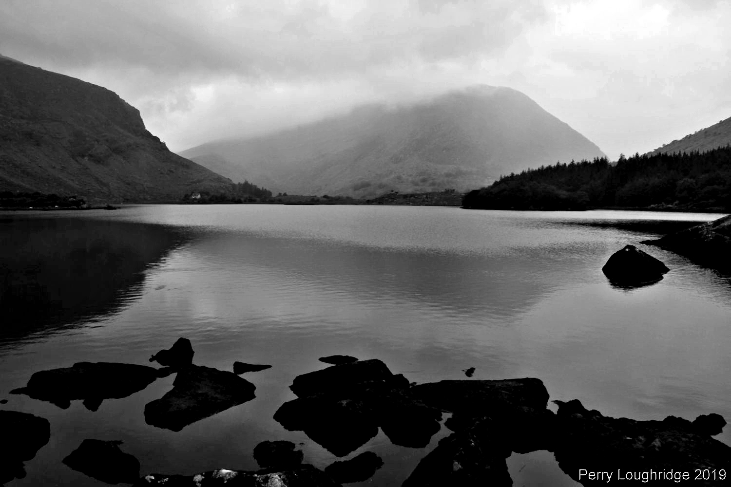
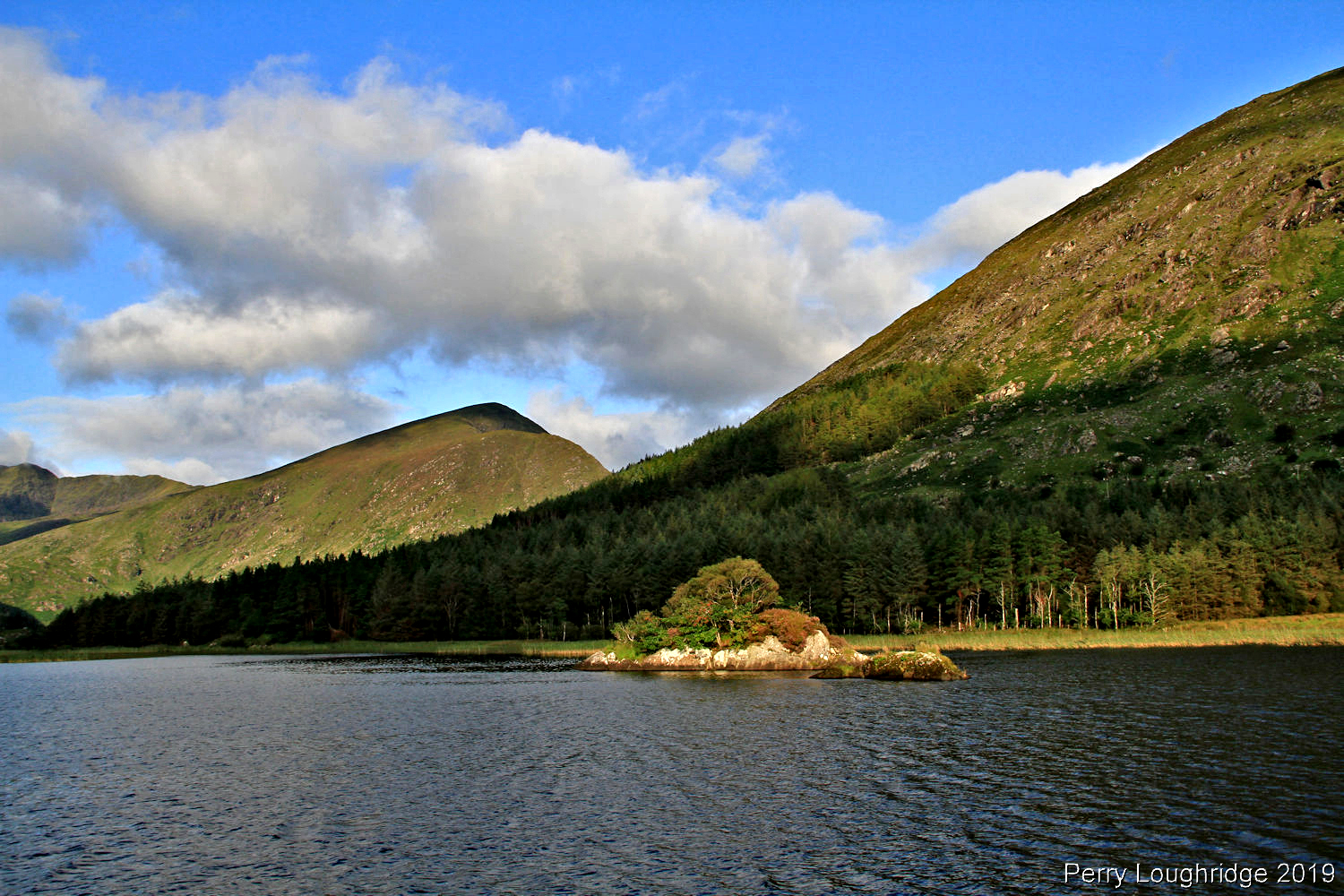
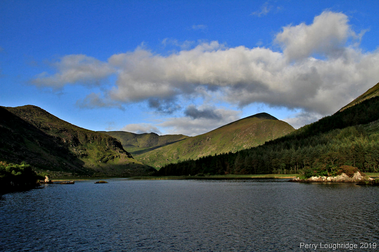
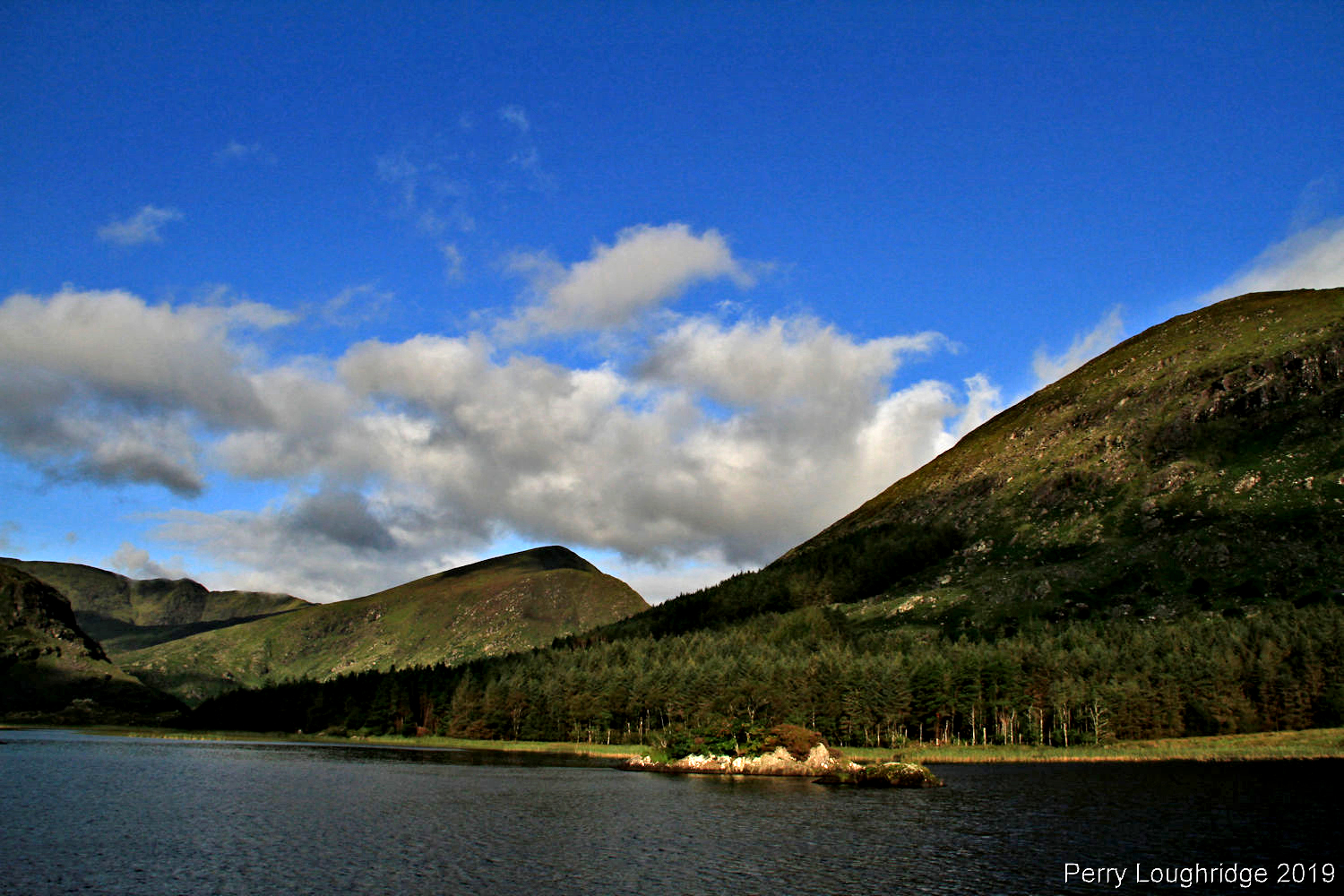
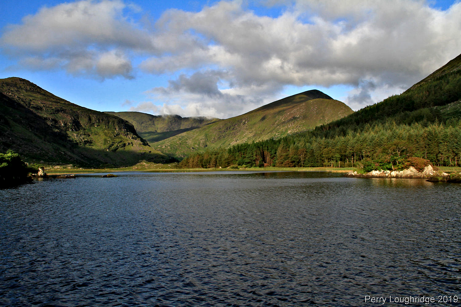
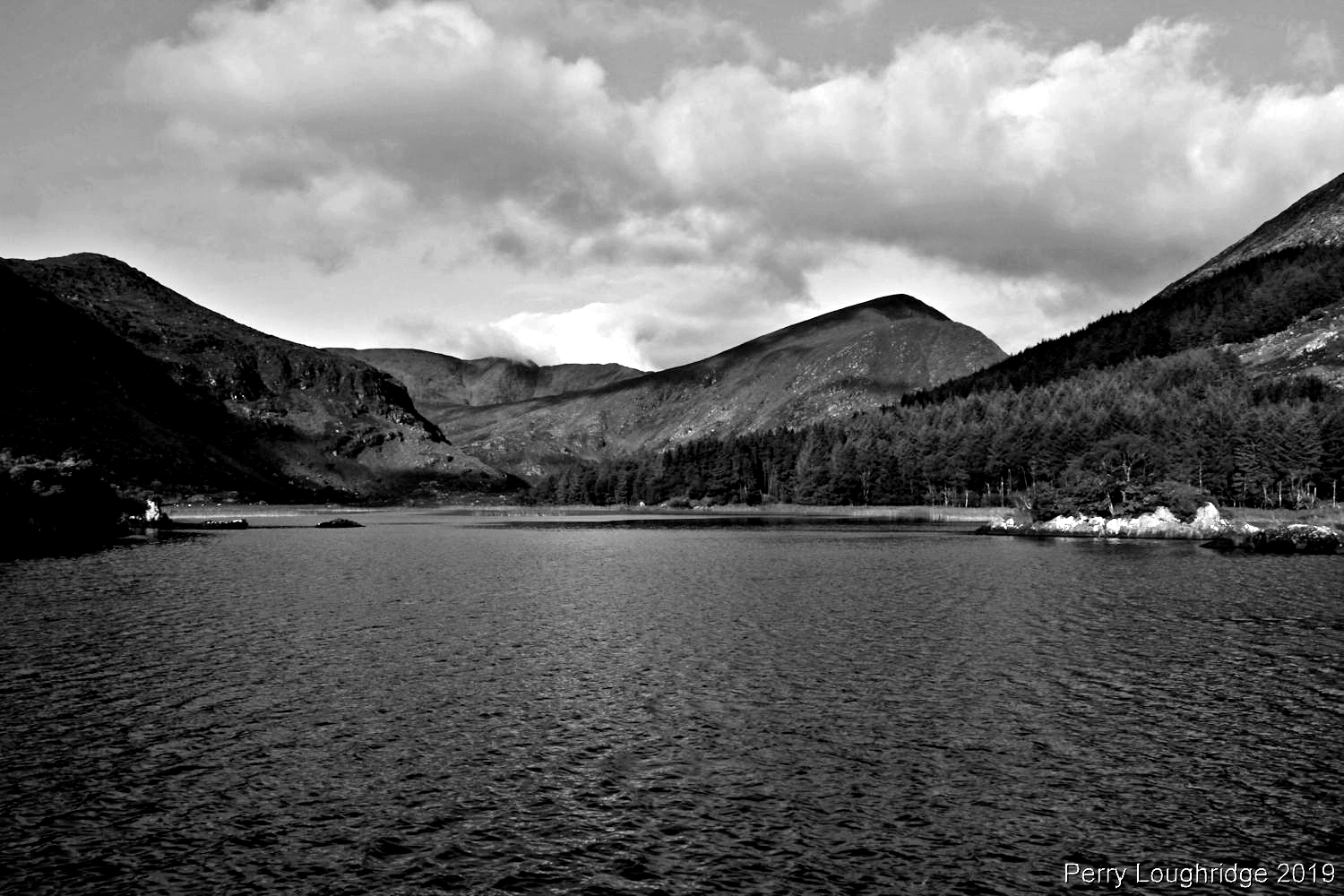
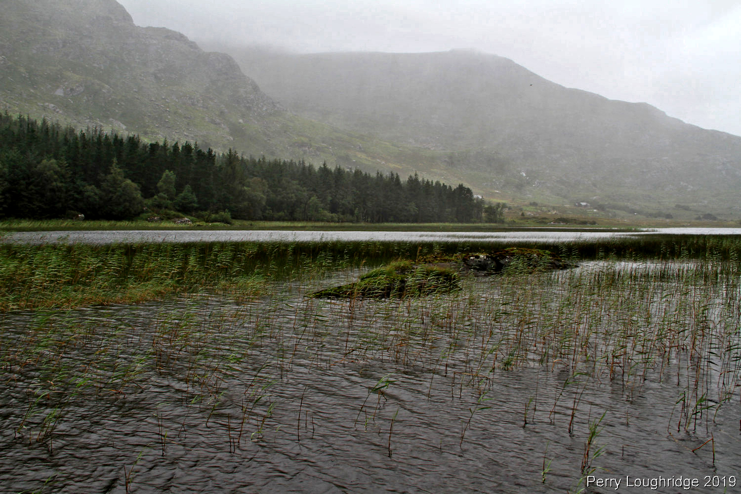
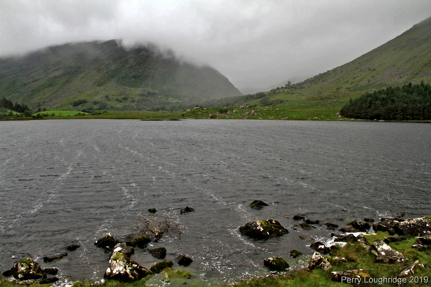
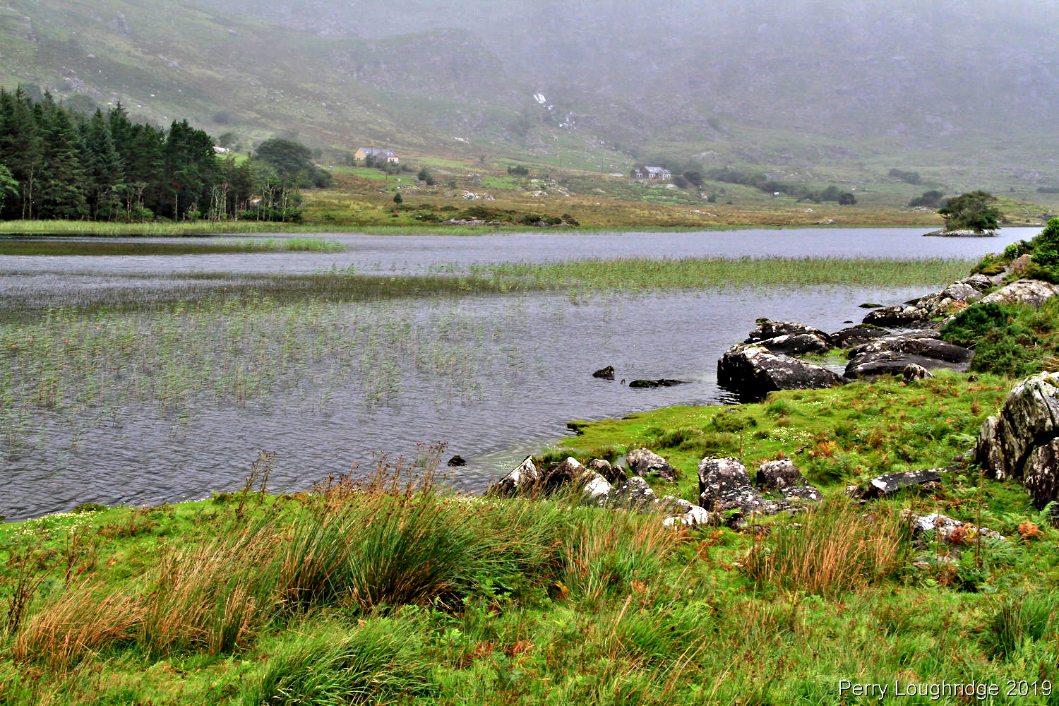
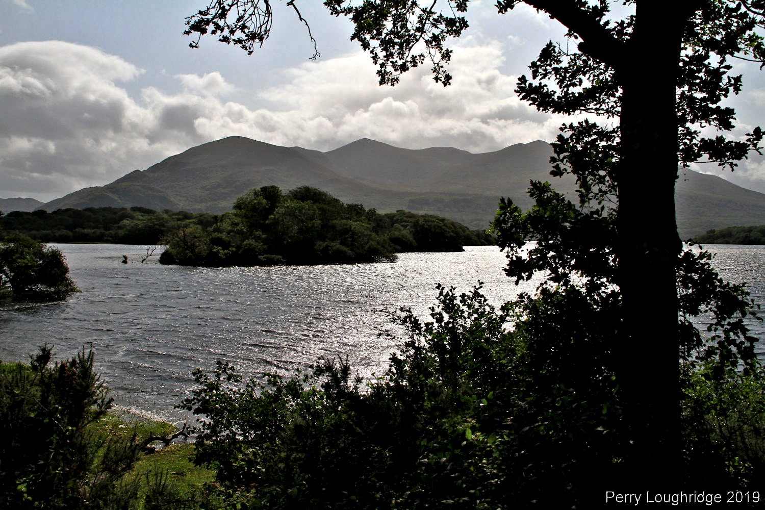
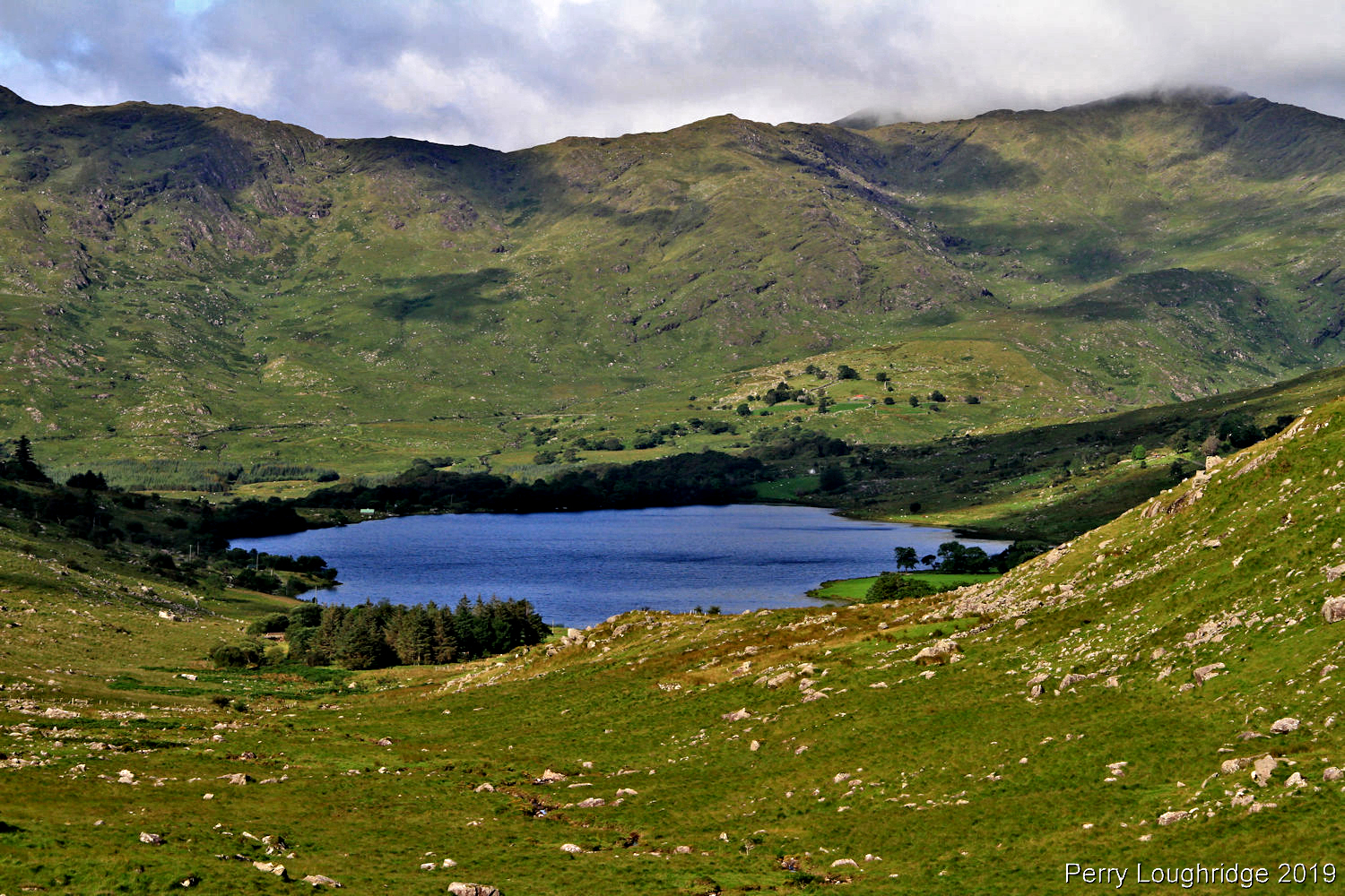
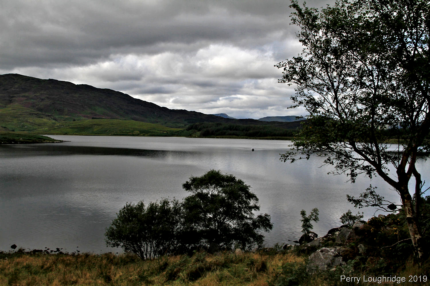
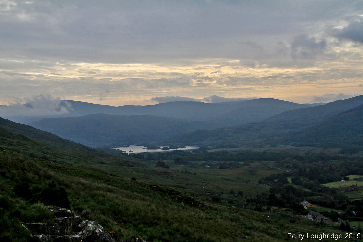
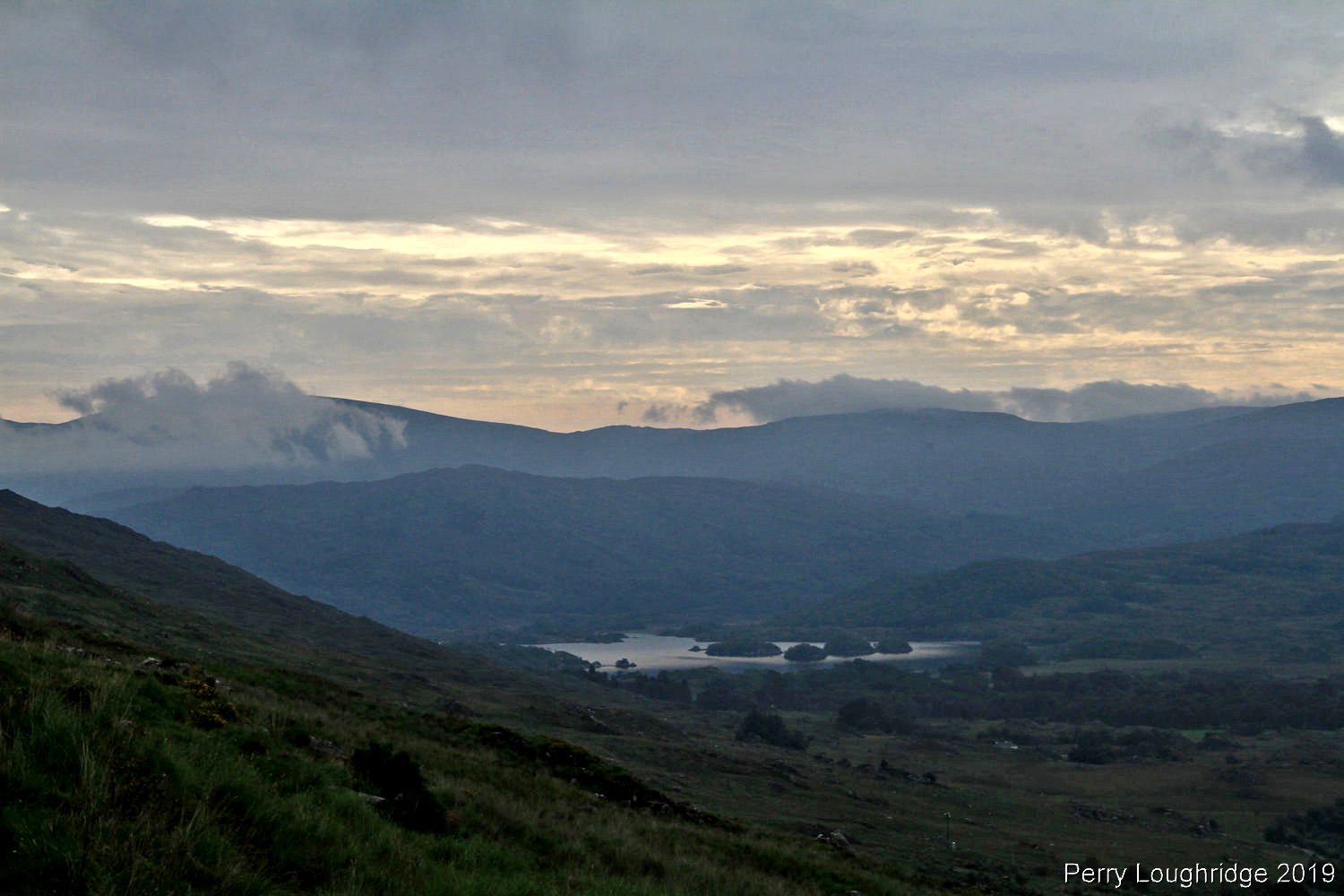
Last evening at Lough Gummeenduff and Black Valley.
Felt like I was being watched.
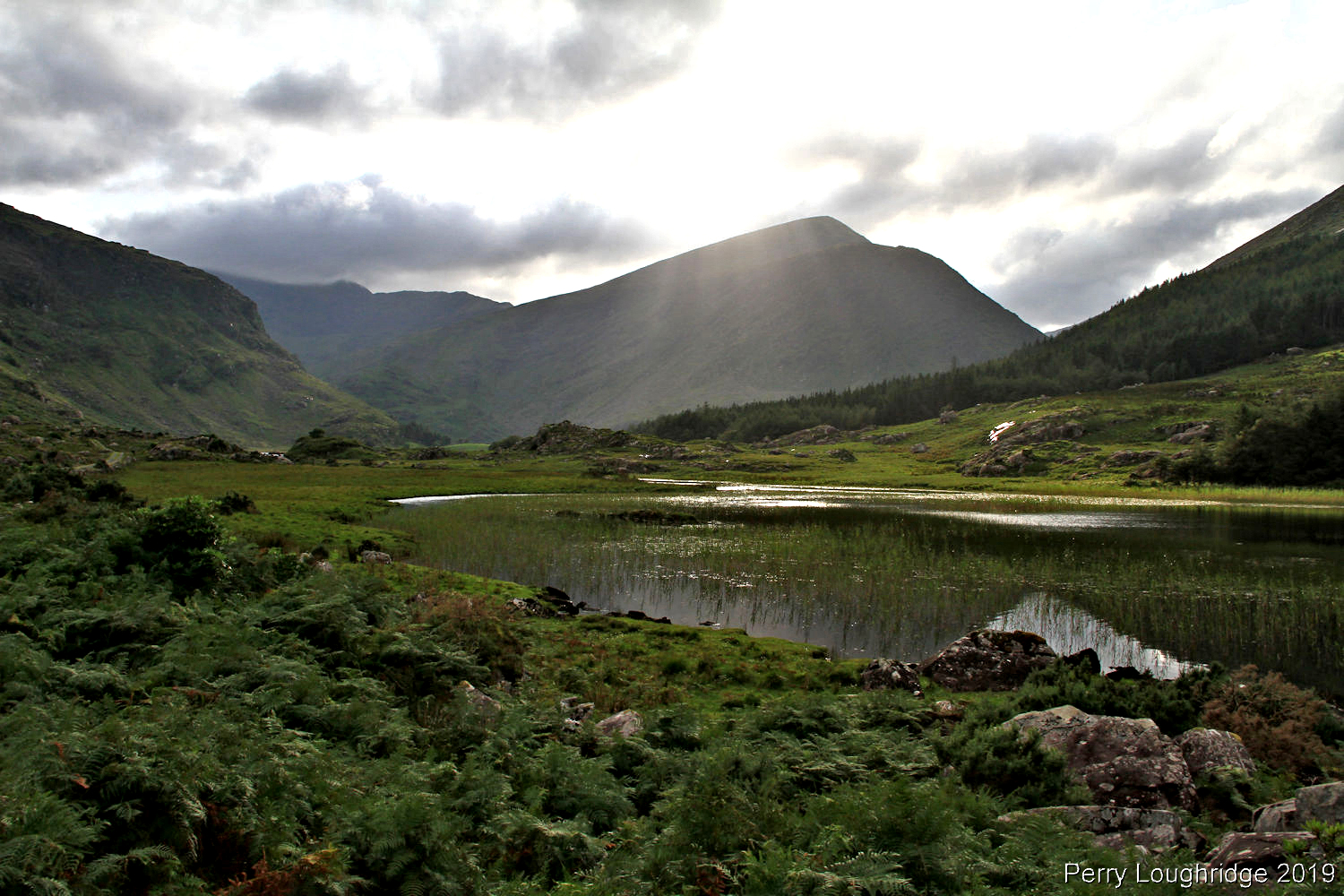
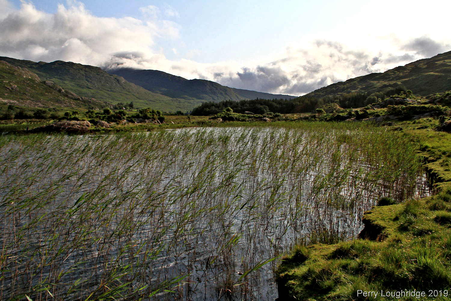
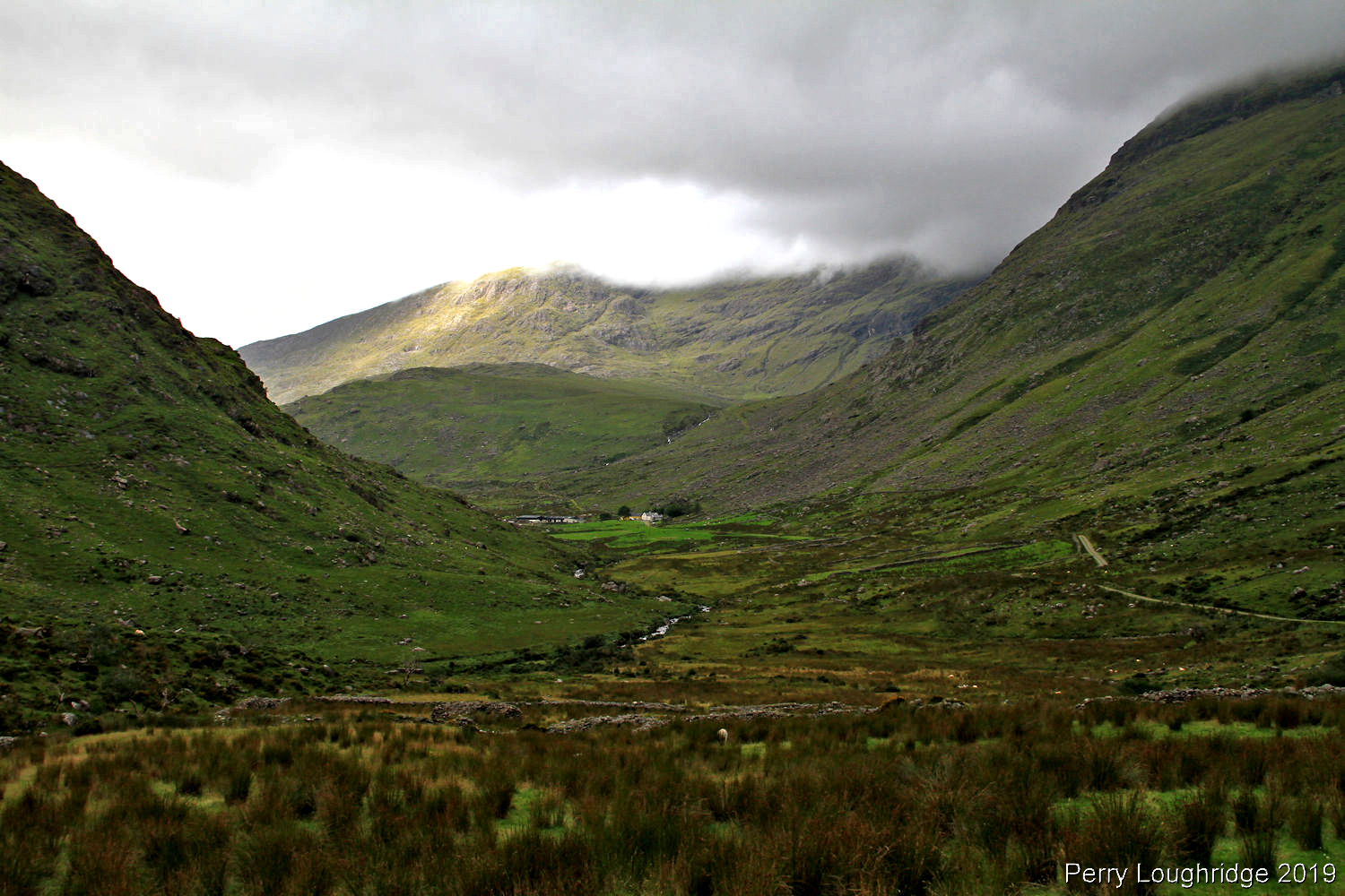
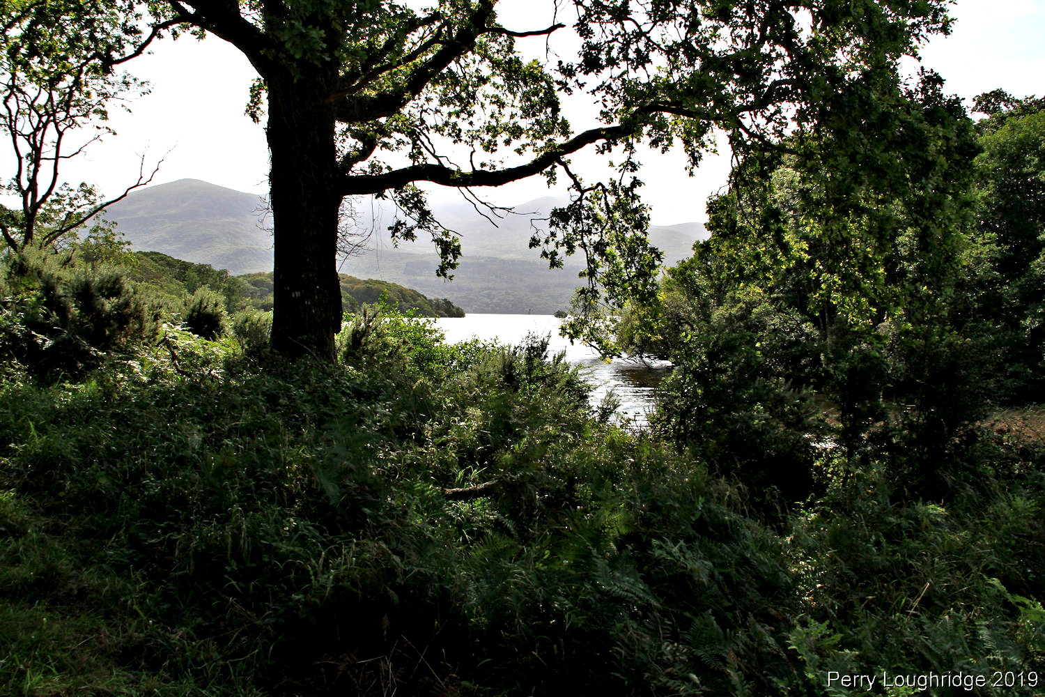
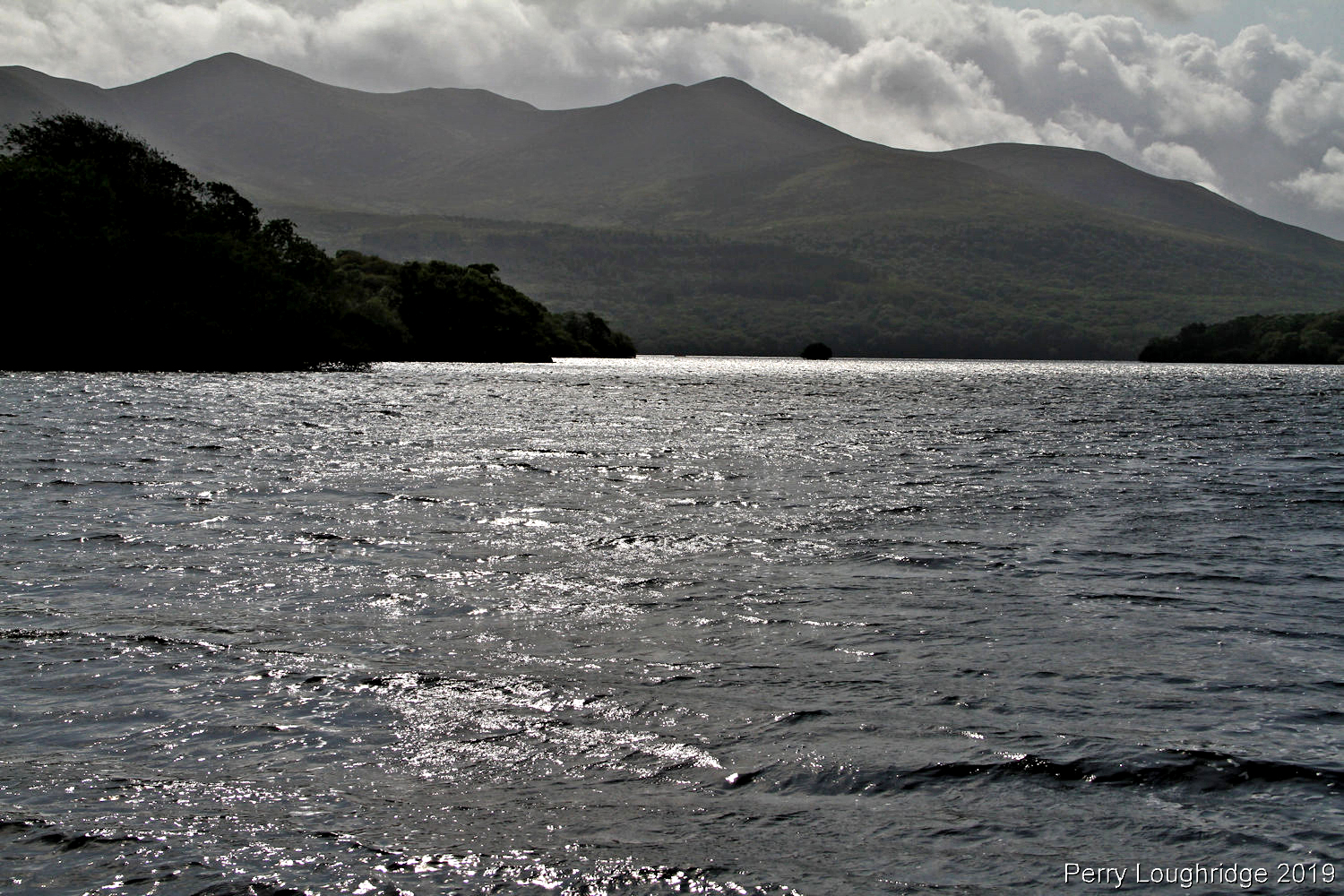
I woke up to blue skies on my last morning in Black Valley. Before leaving the valley, had to make one last visit to Lough Gummeenduff. Sure glad I did. Some spectacular views of the lough and reeks.
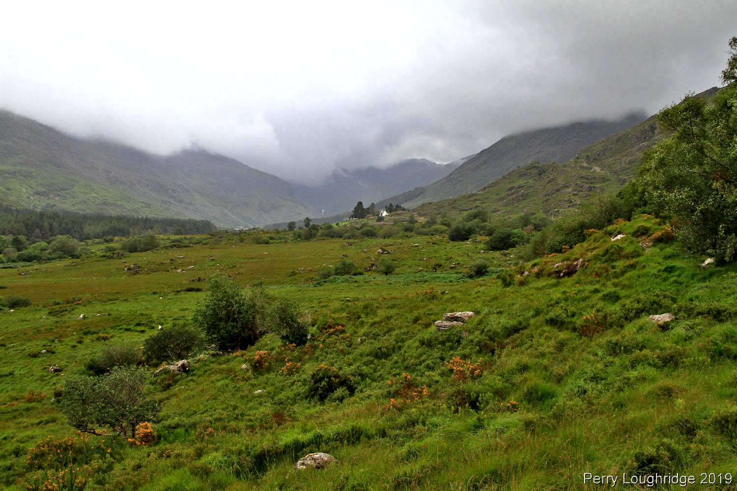
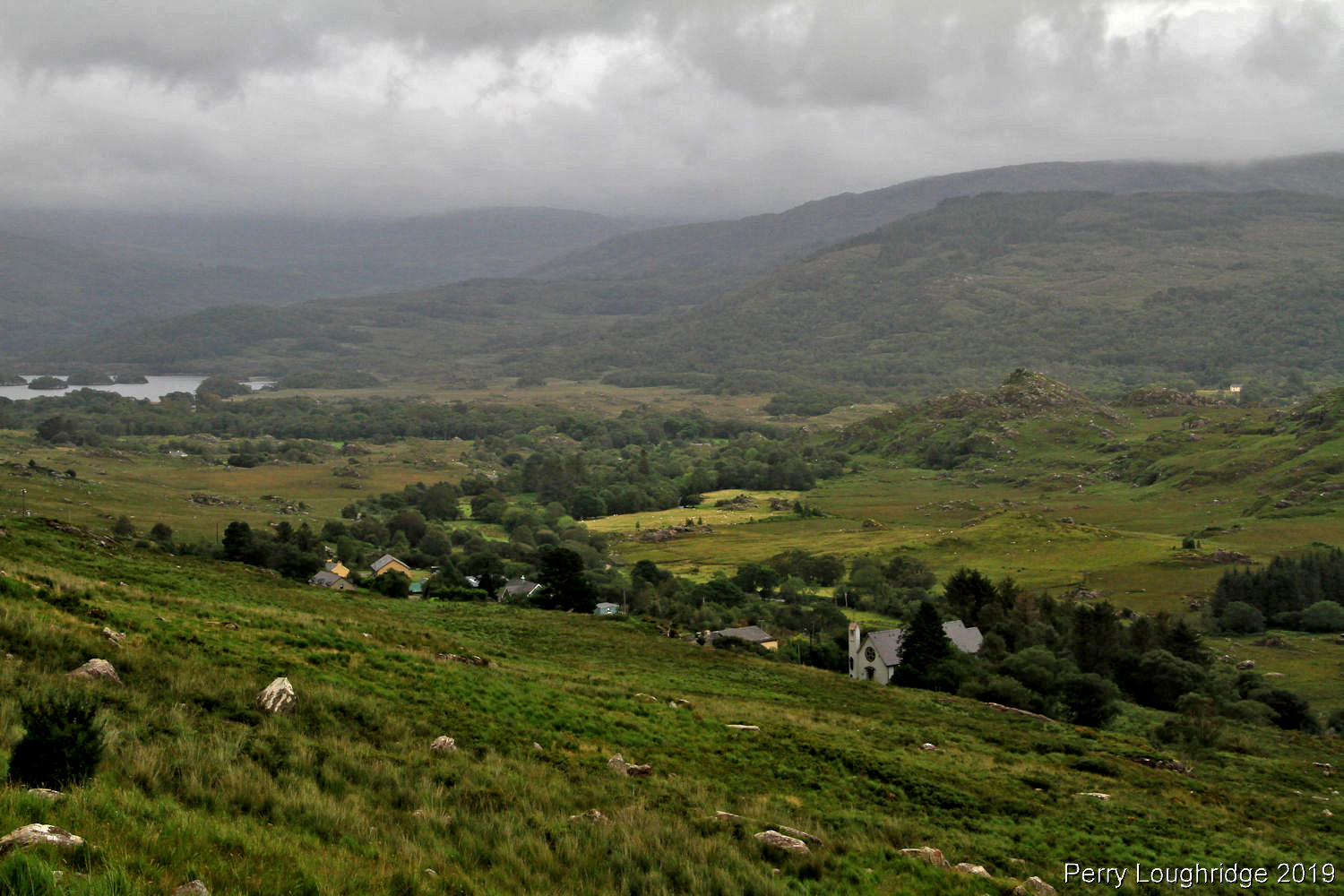
While looking at maps for the upcoming trip to Ireland, I came across Black Valley. Black Valley is a wonderful remote valley located at the the southern end of the MacGillycuddy Reek’s mountain range on the Iveragh Peninsula (Ring of Kerry) in southwestern Ireland.. The valley, west of the town of Killarney, Co Kerry, was the last area in Ireland to get electricity and phone service in 1976.
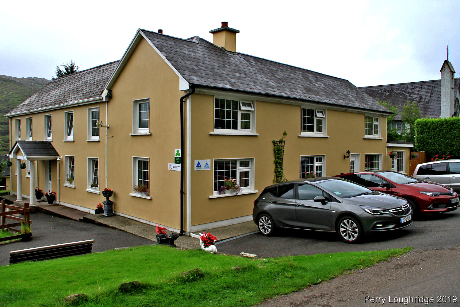
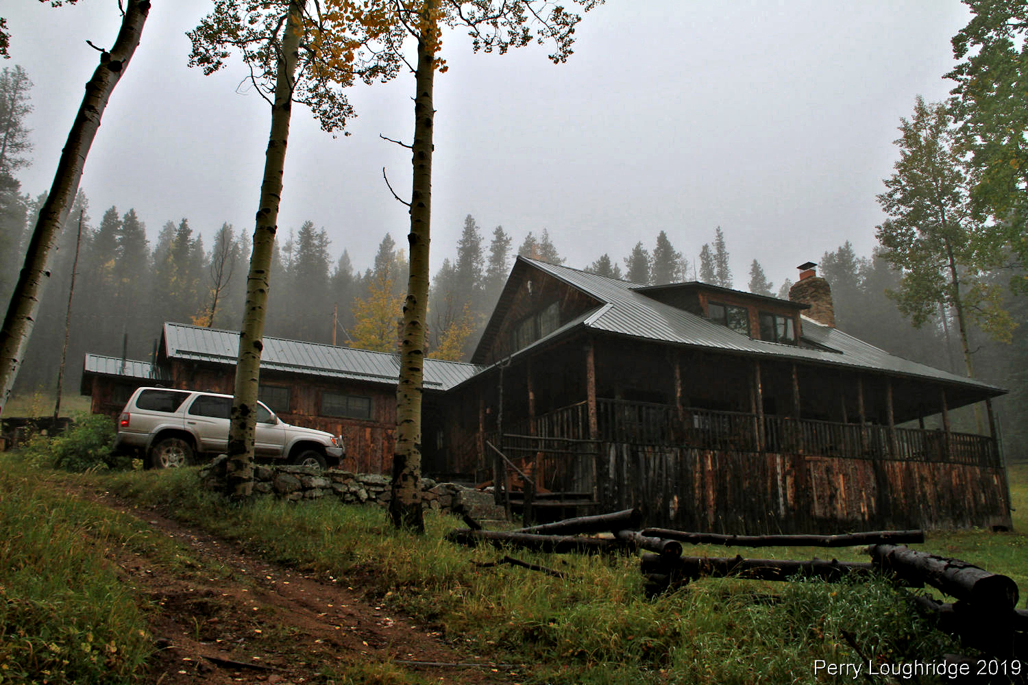
With some long days of work right before I left for Ireland, I decided to stay a few nights in Black Valley. I booked a few nights at the Black Valley Hostel. This gave me time to relax and enjoy the area. Every morning and evening i’d head over to Lough Gummeenduff and take in the views. It was nice to settle into a place and not be rushed while traveling.
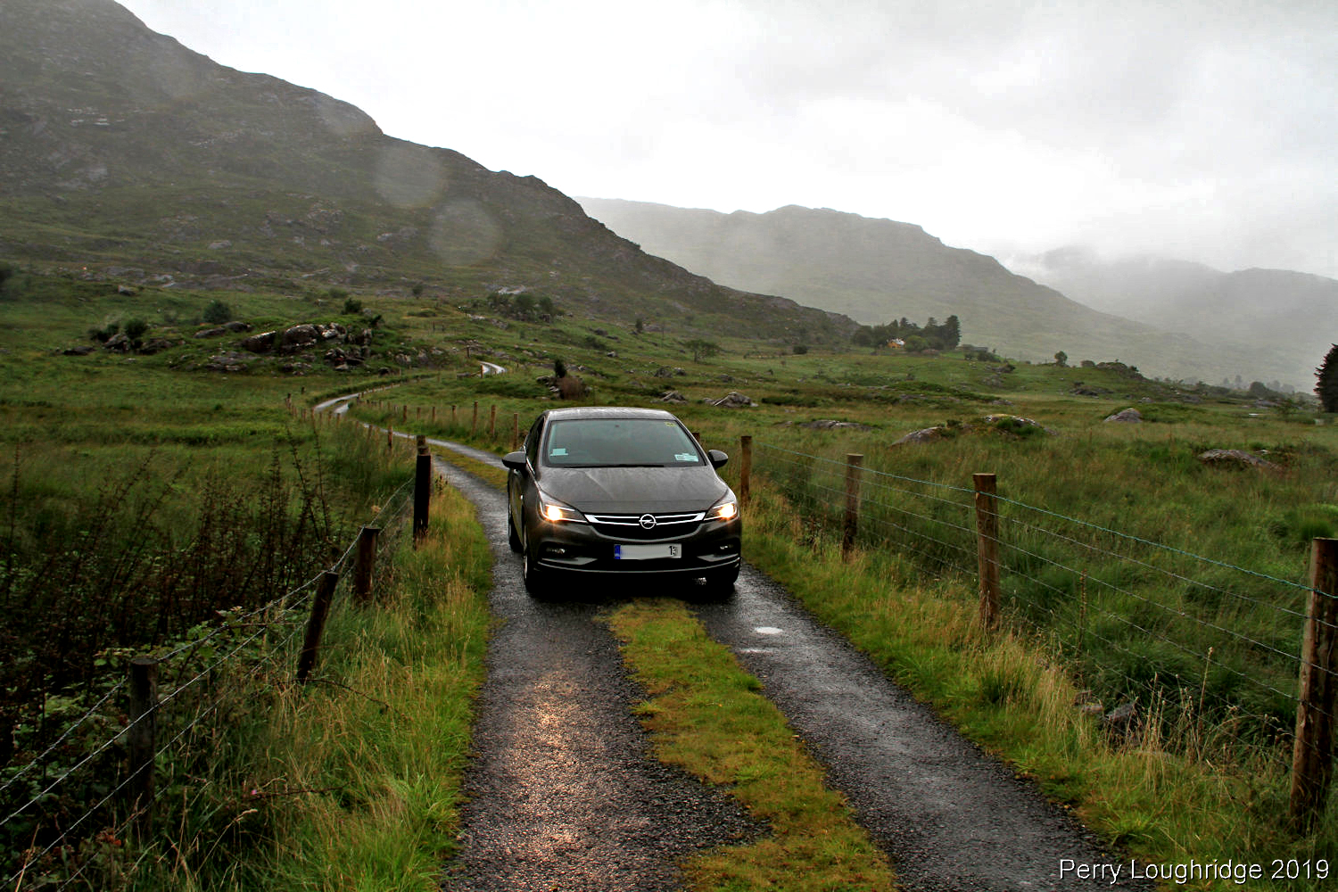
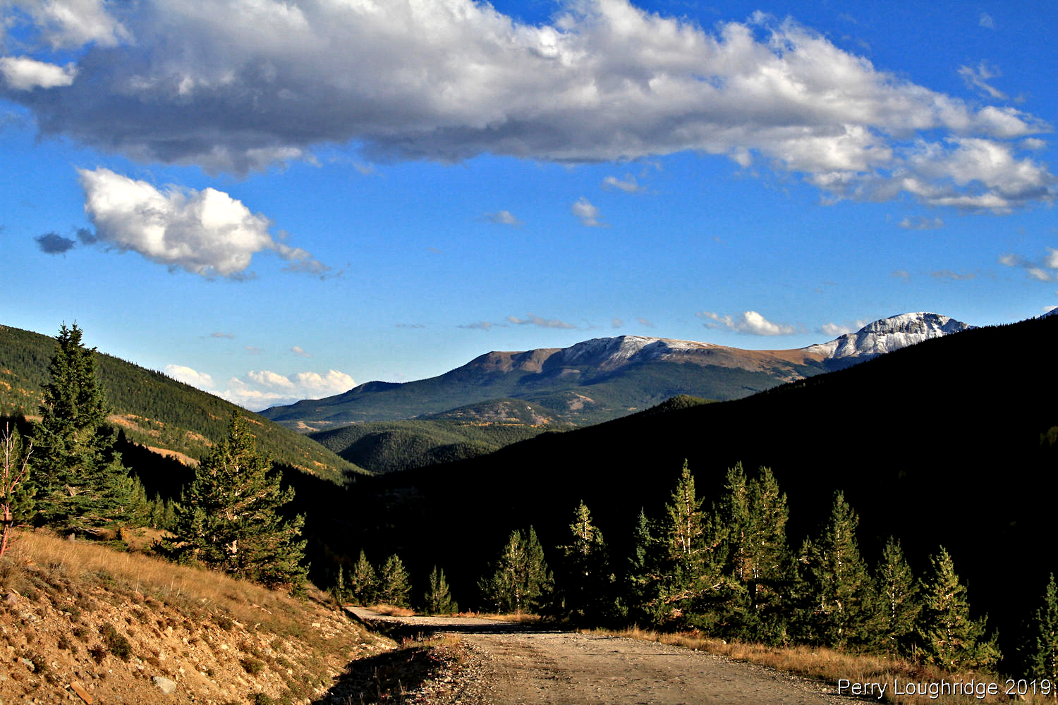
Making my way into Black Valley. I took the road in from Molls Gap (just west of Killarney). About as wide as the road got, though pull outs were abundant.
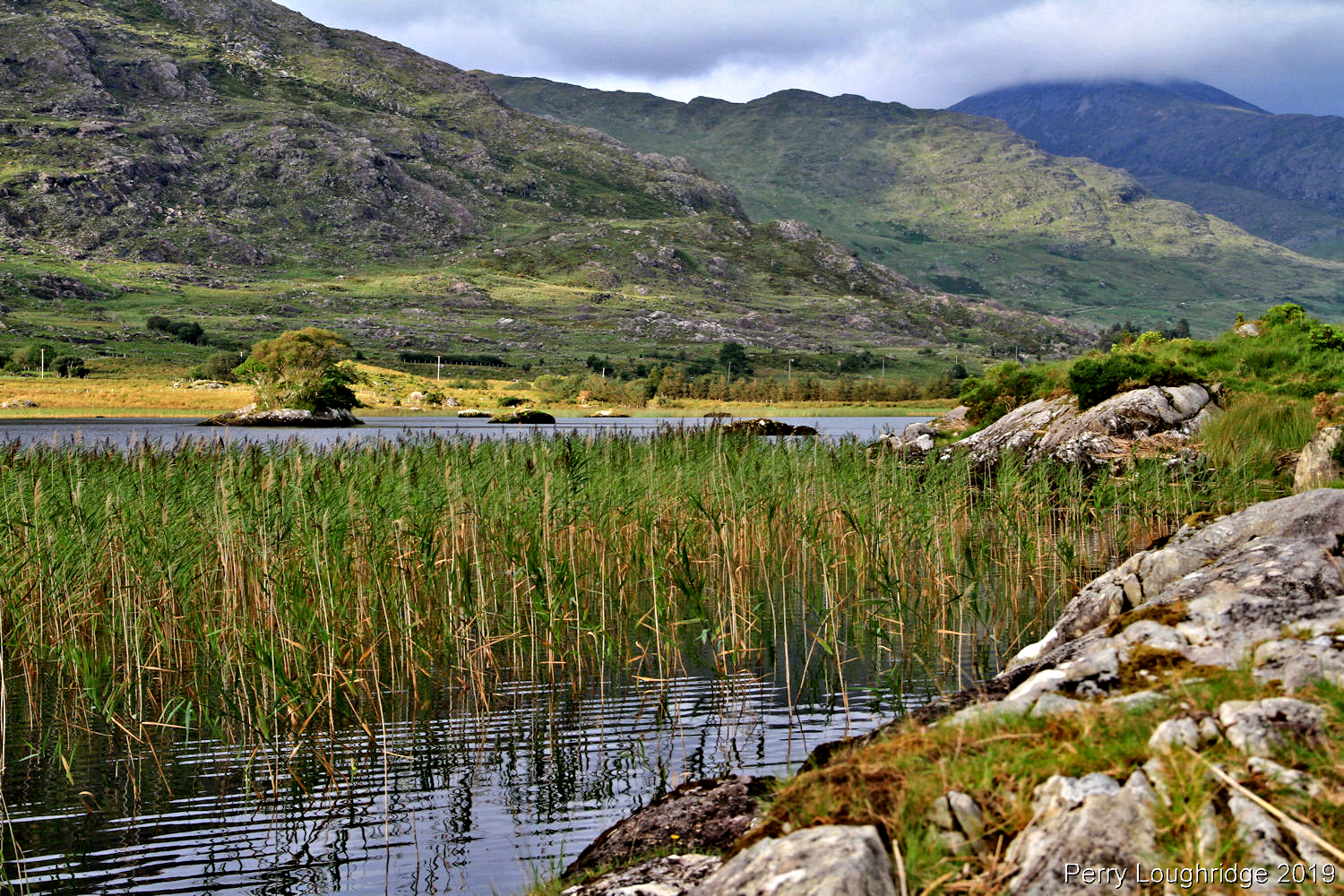
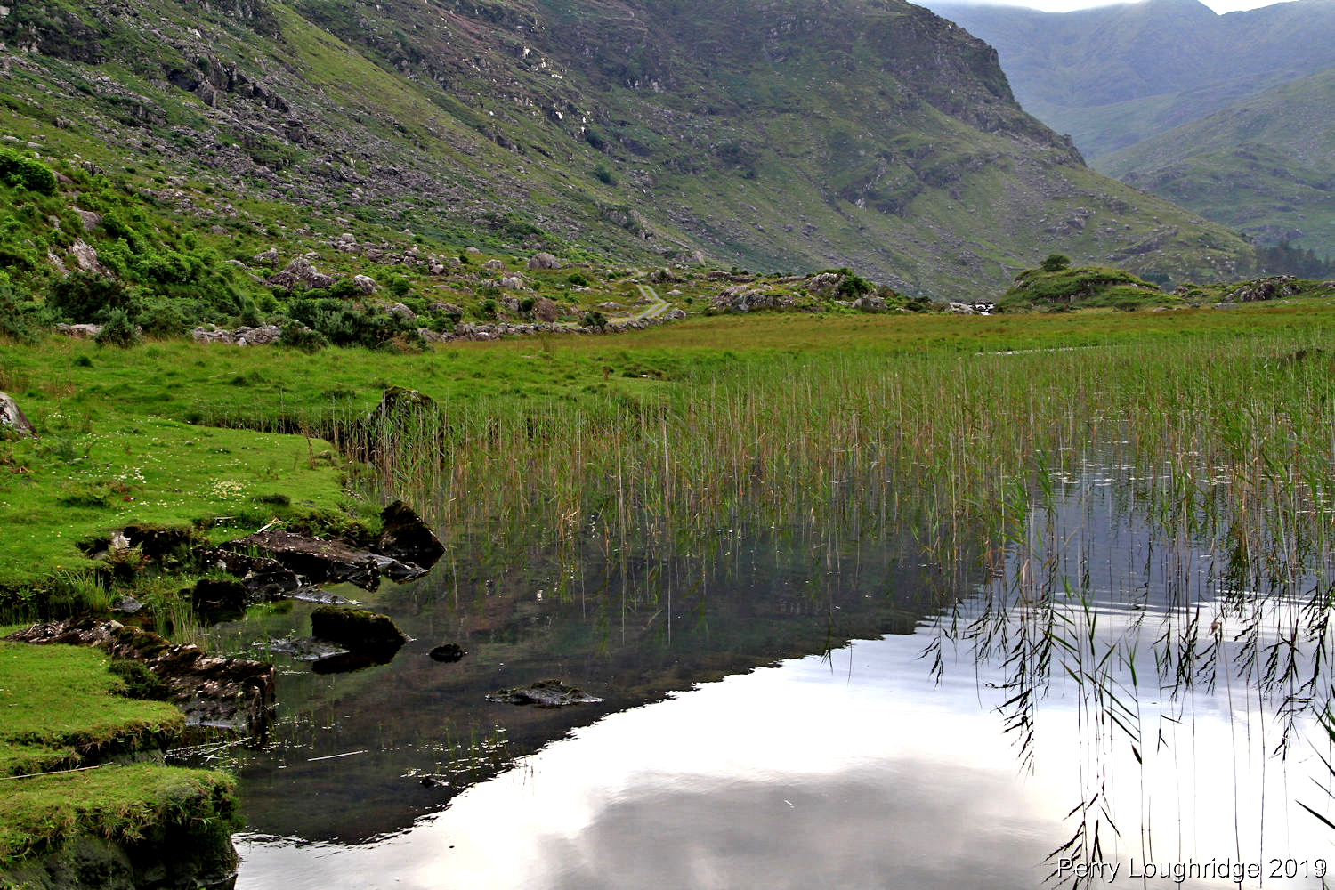
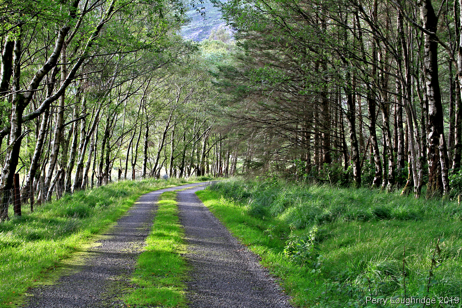
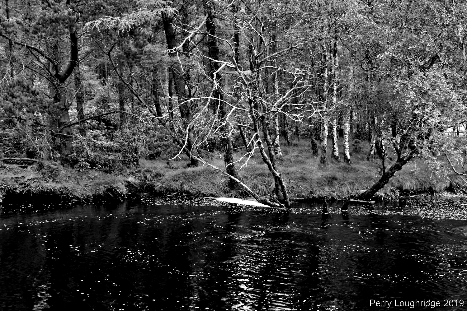
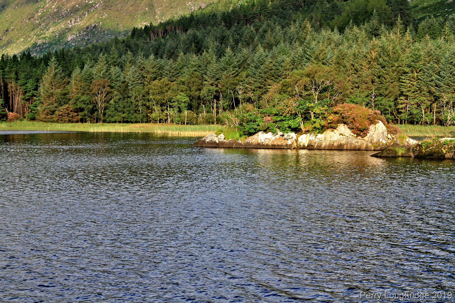
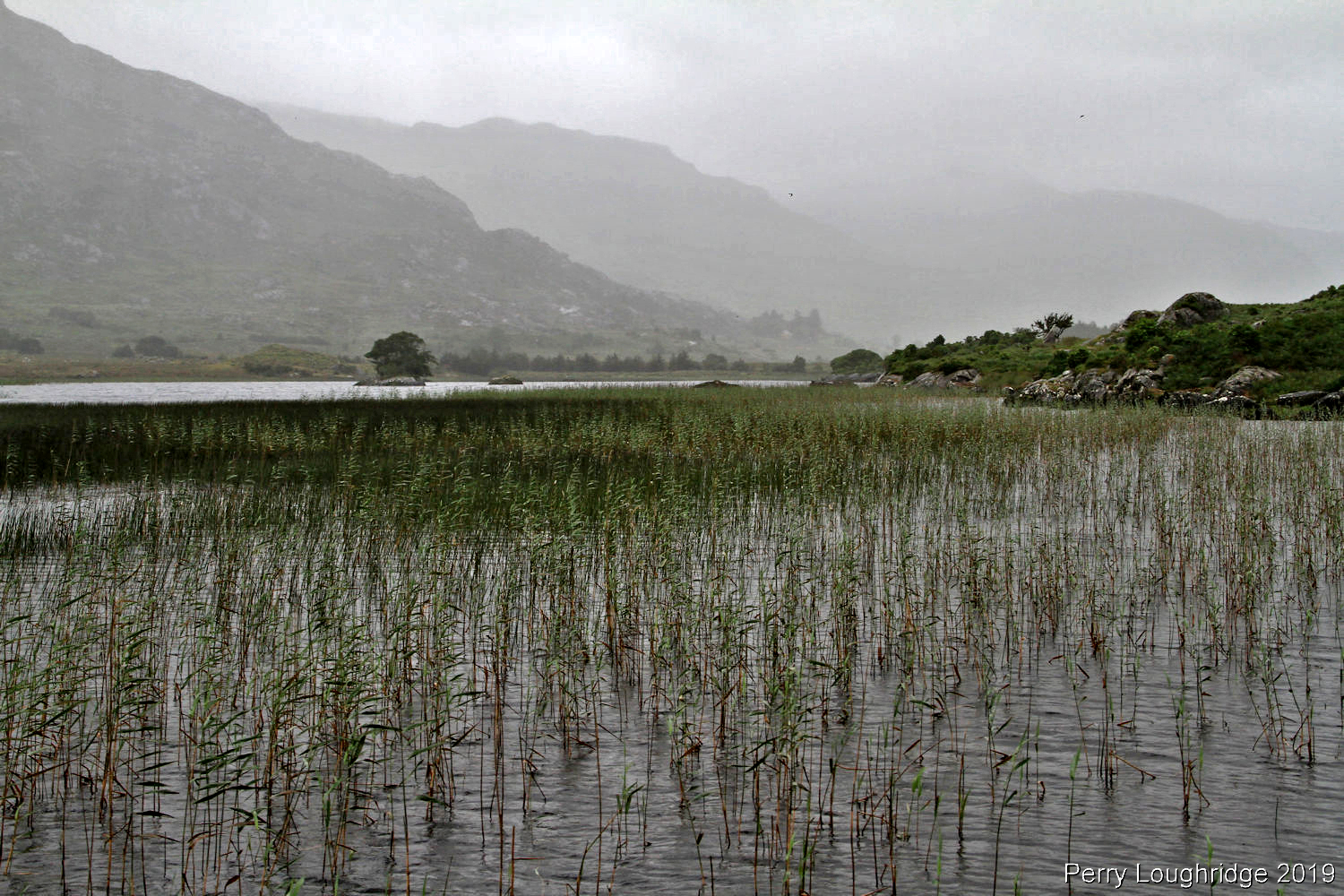
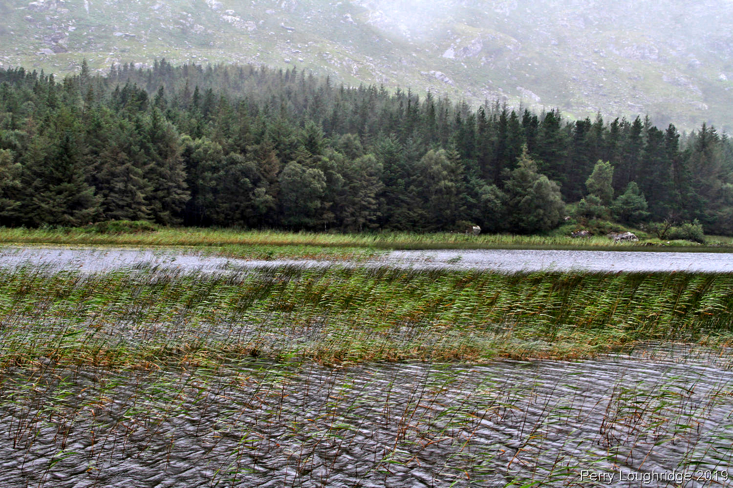
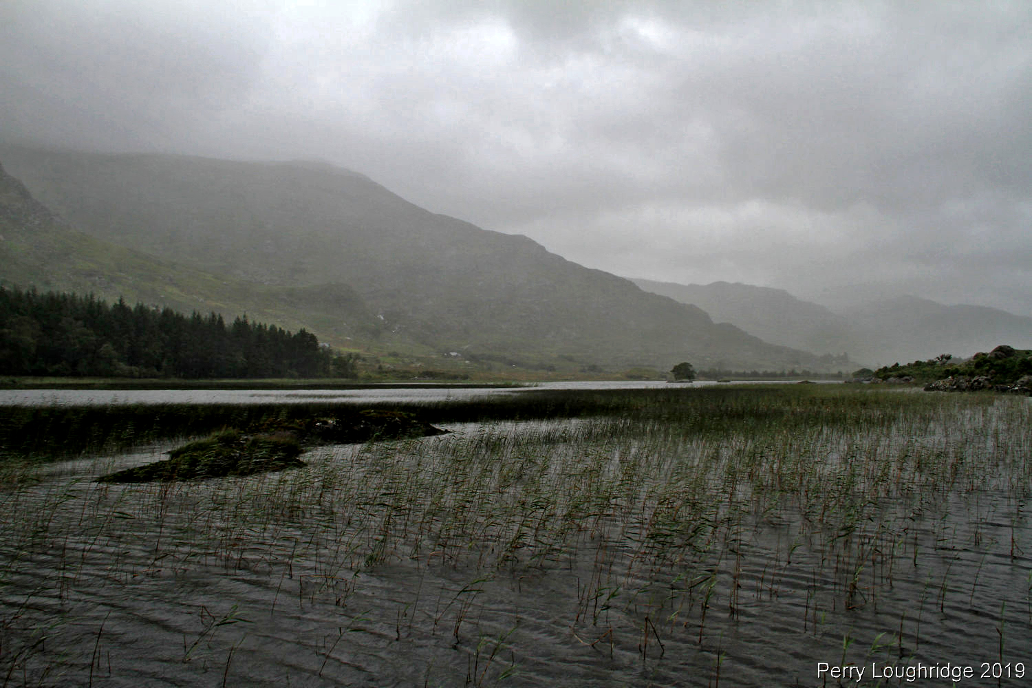
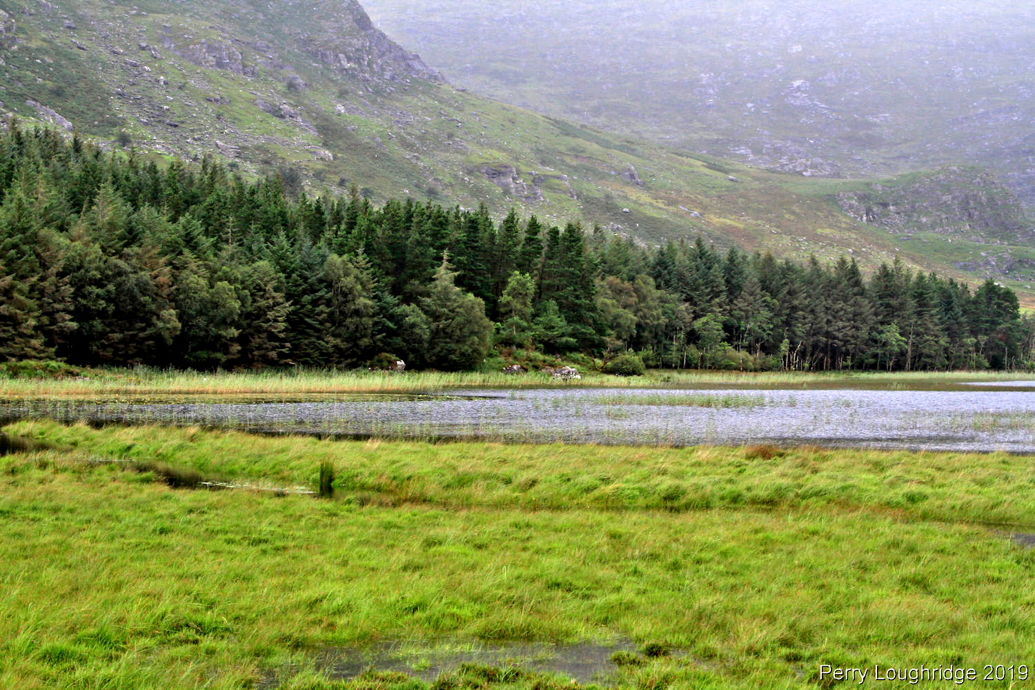
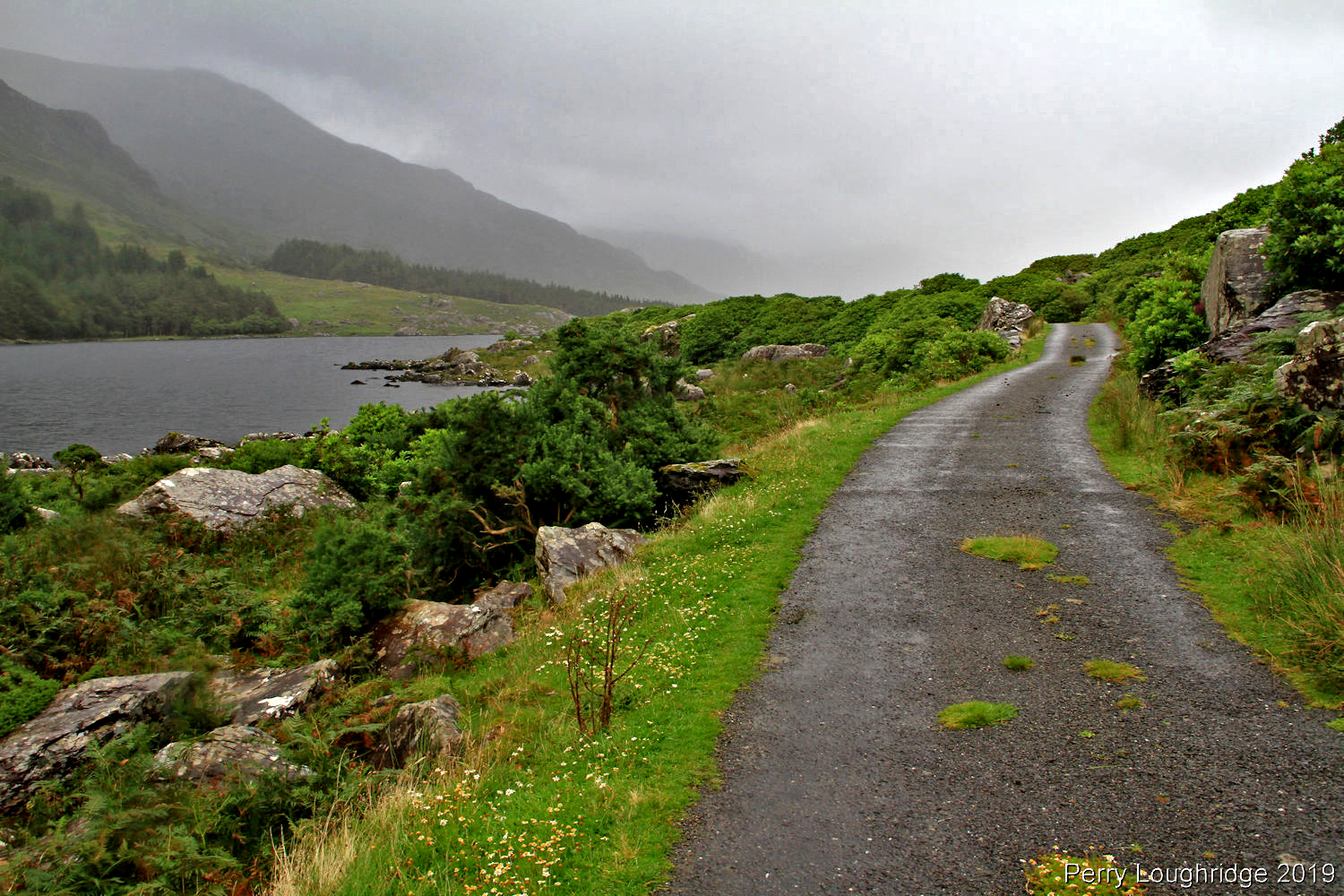
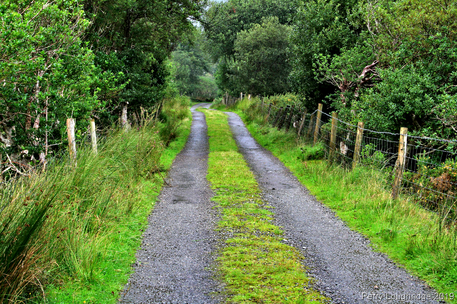
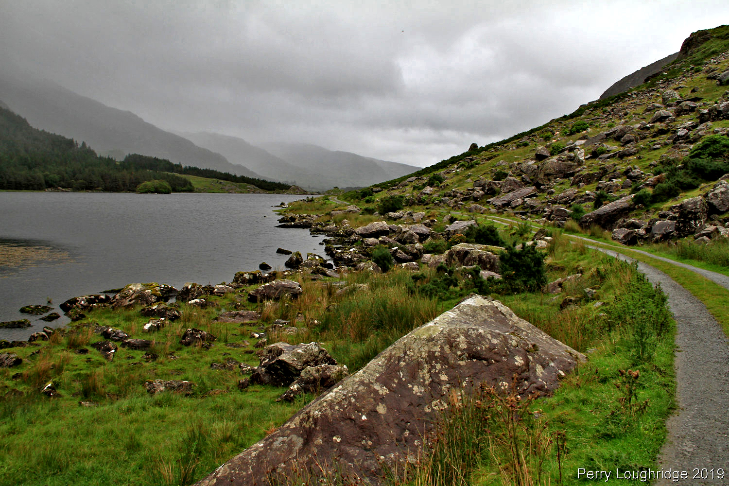
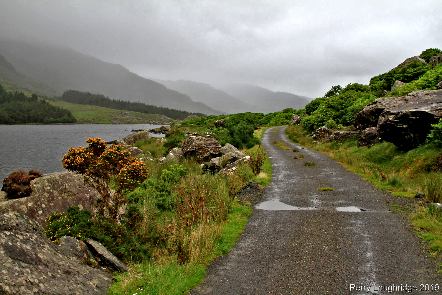
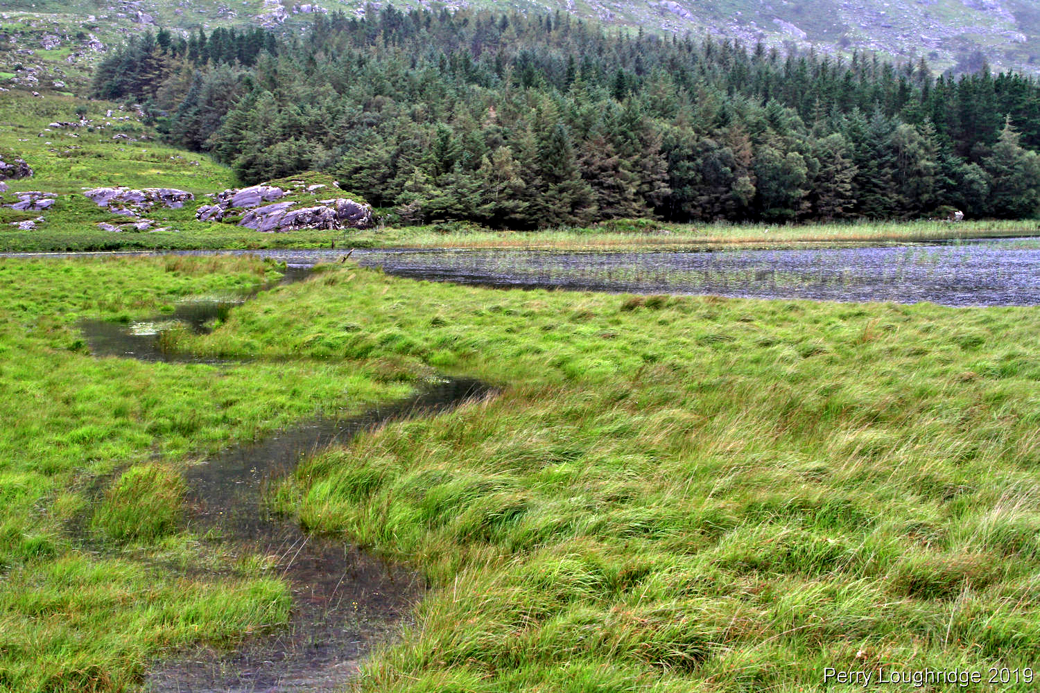
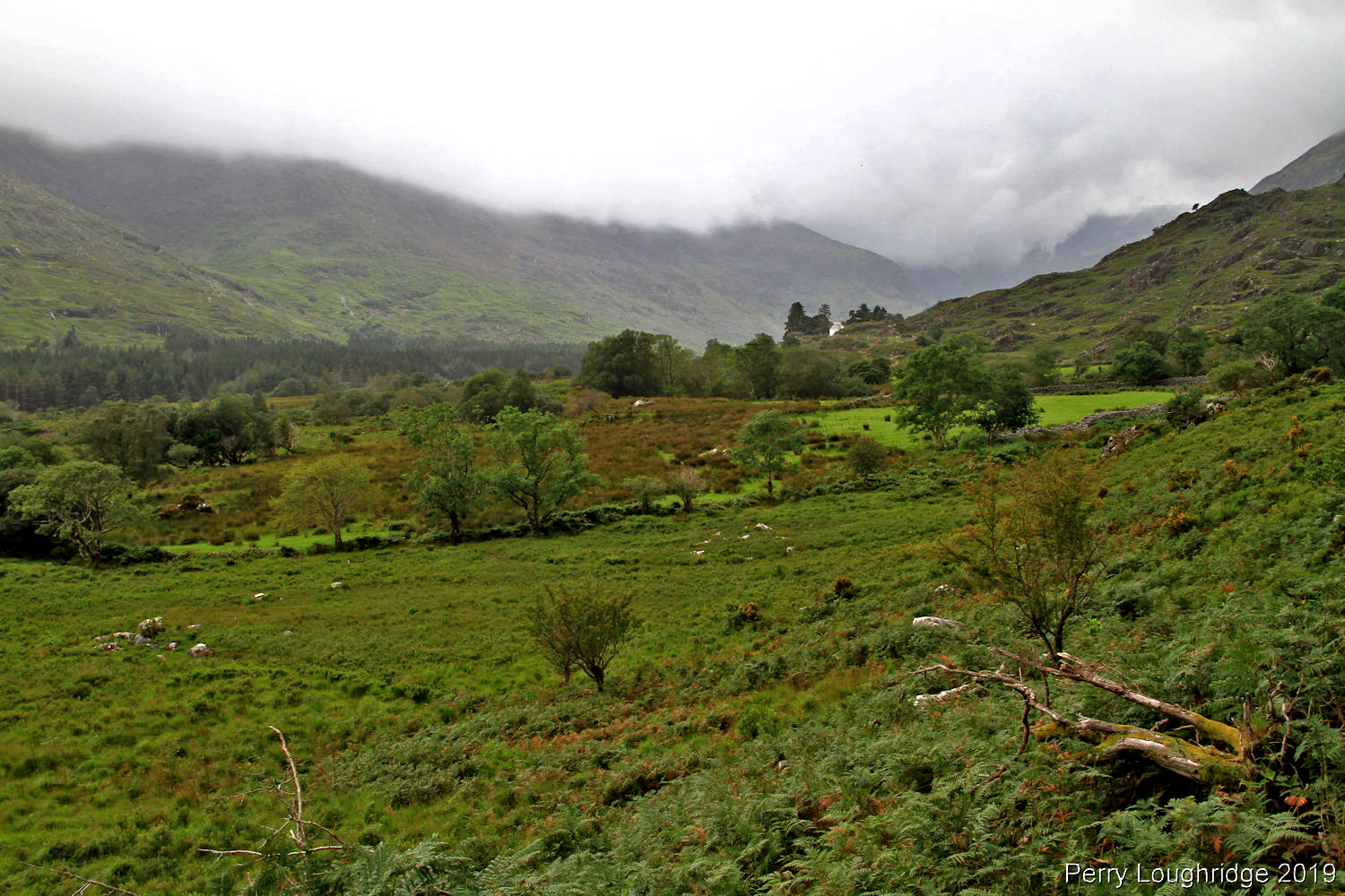
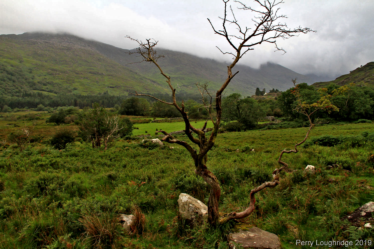
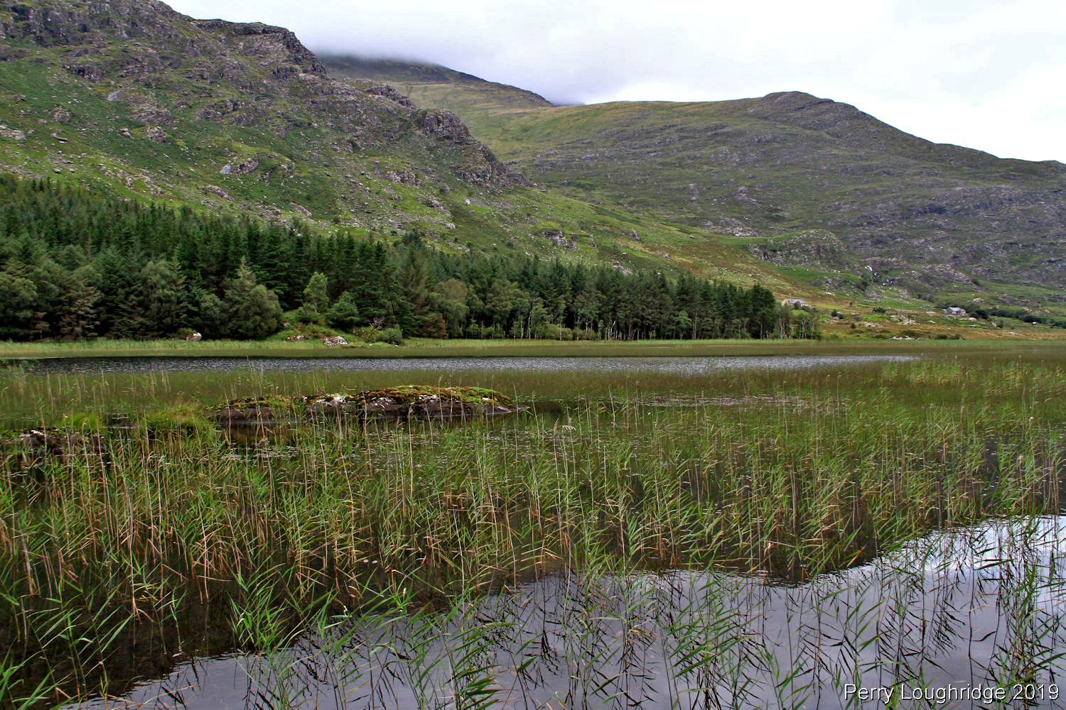
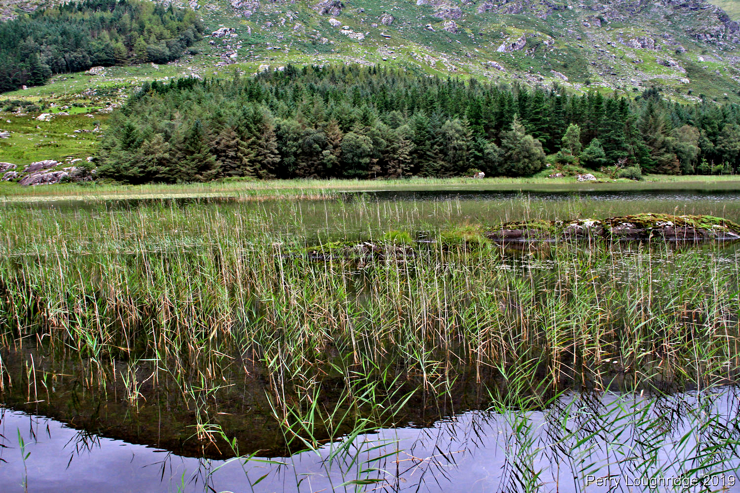
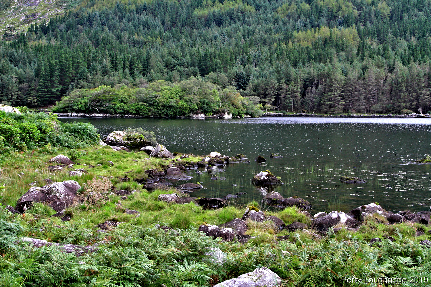
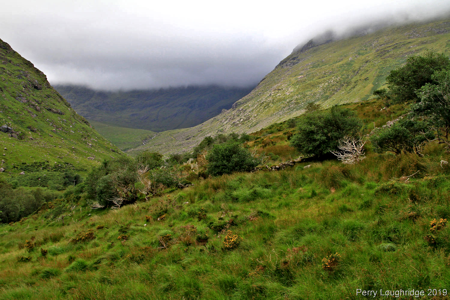
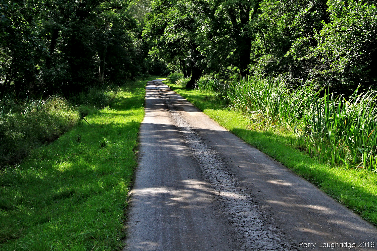
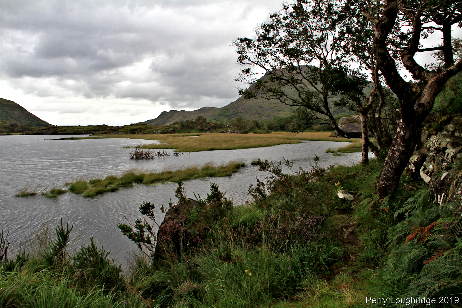
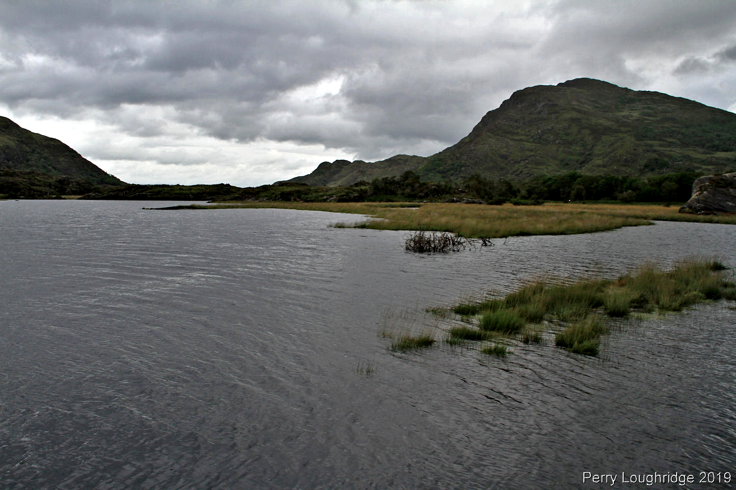
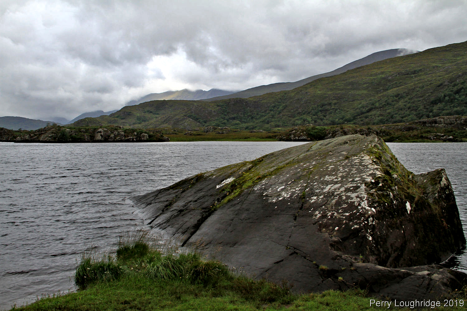
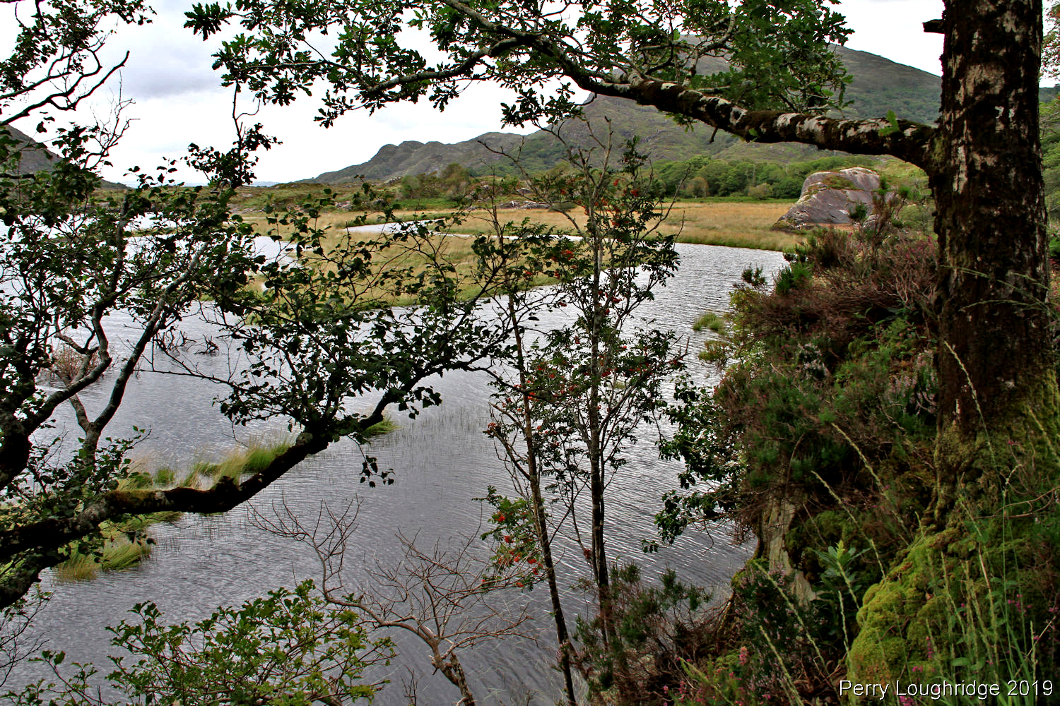
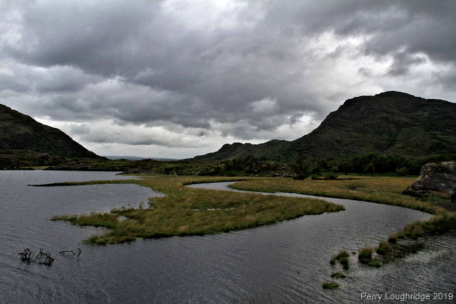
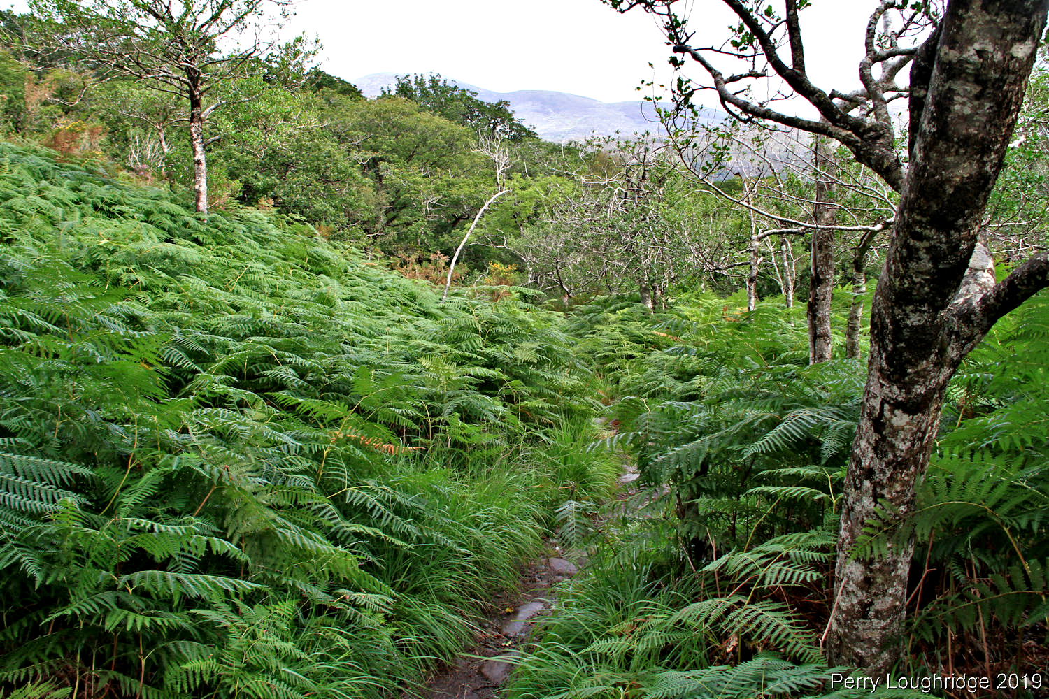
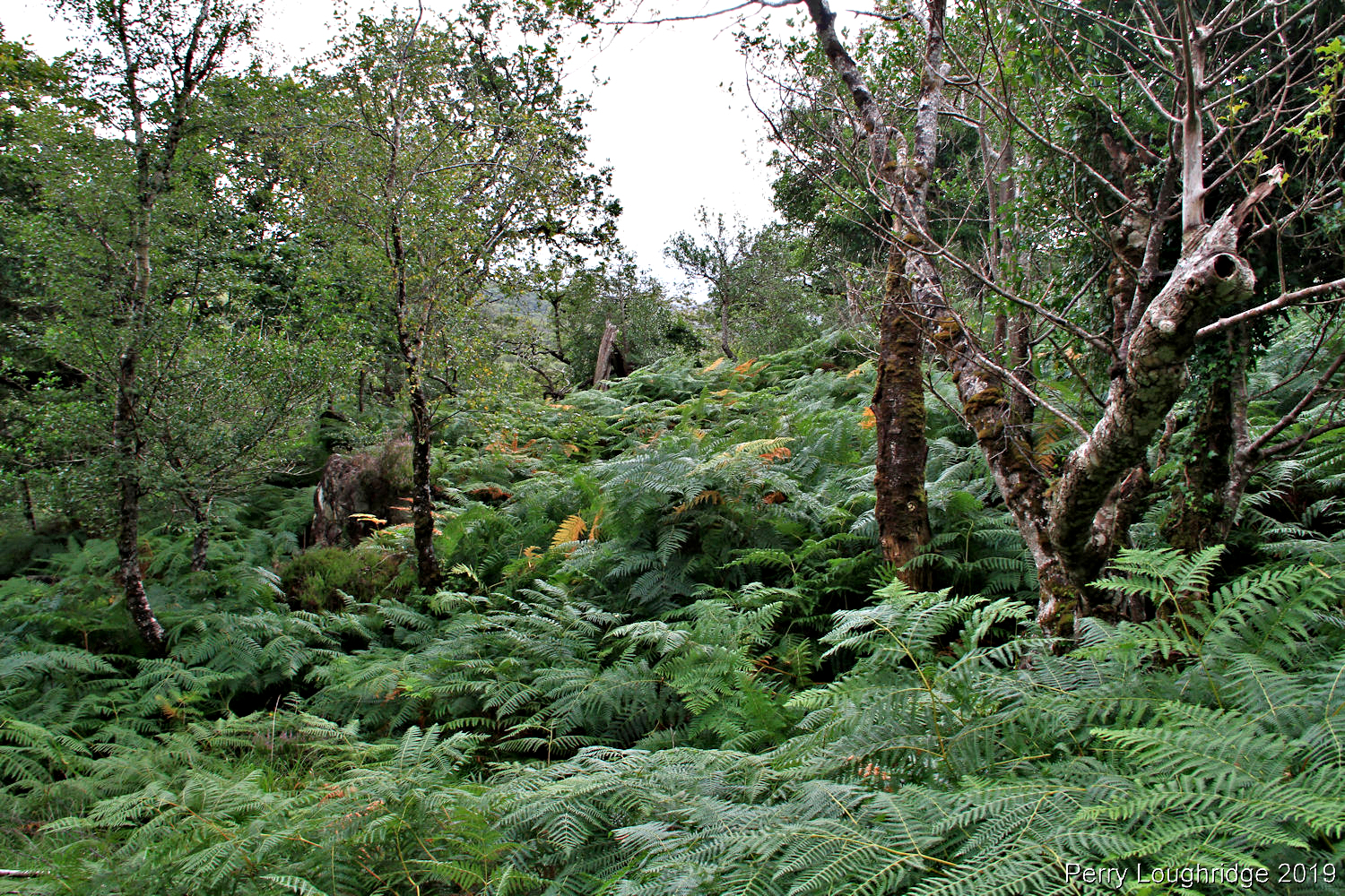
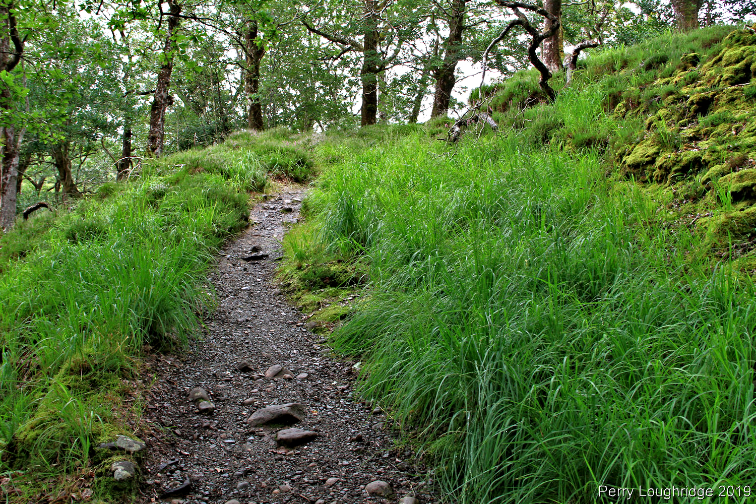
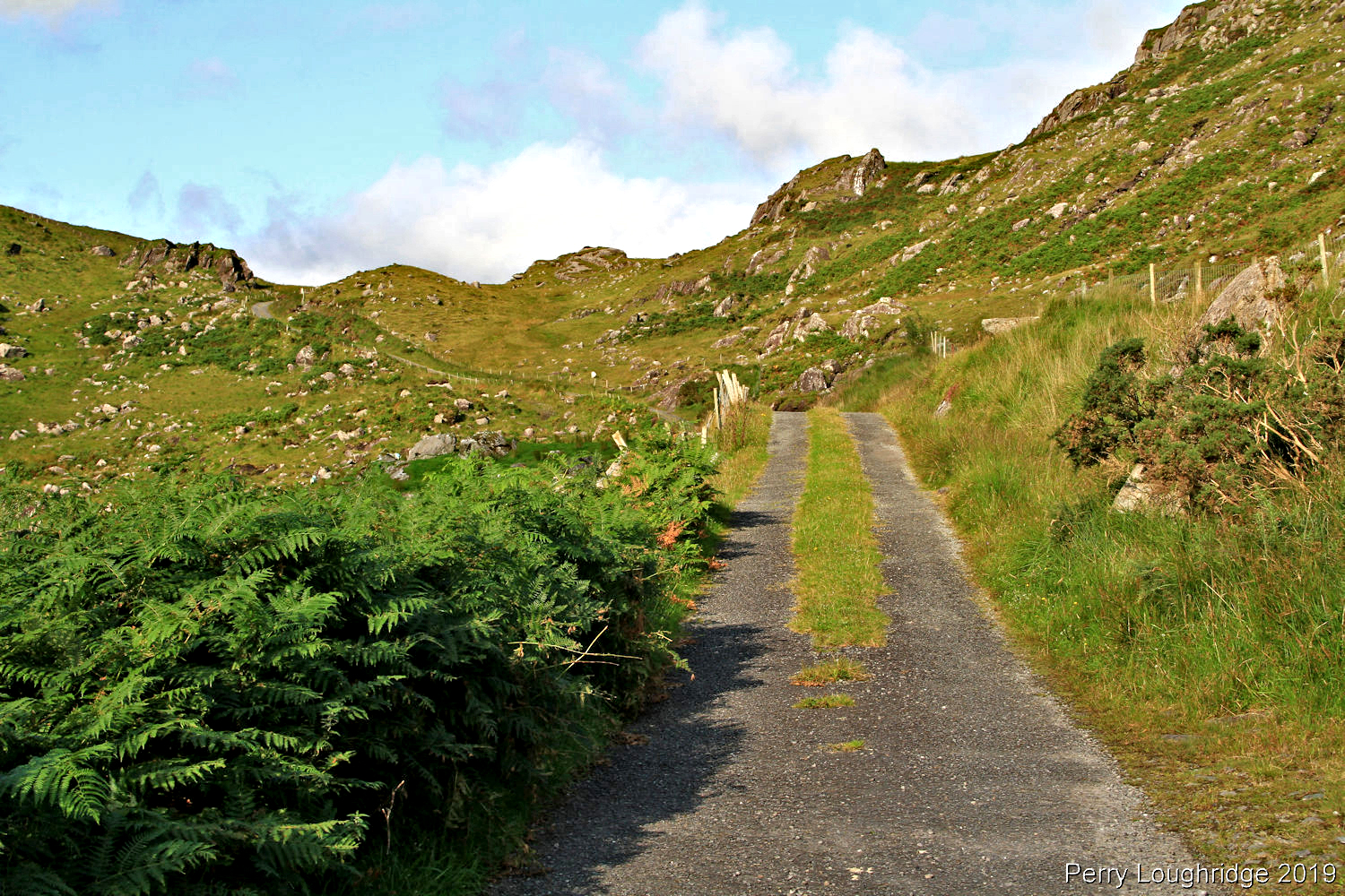
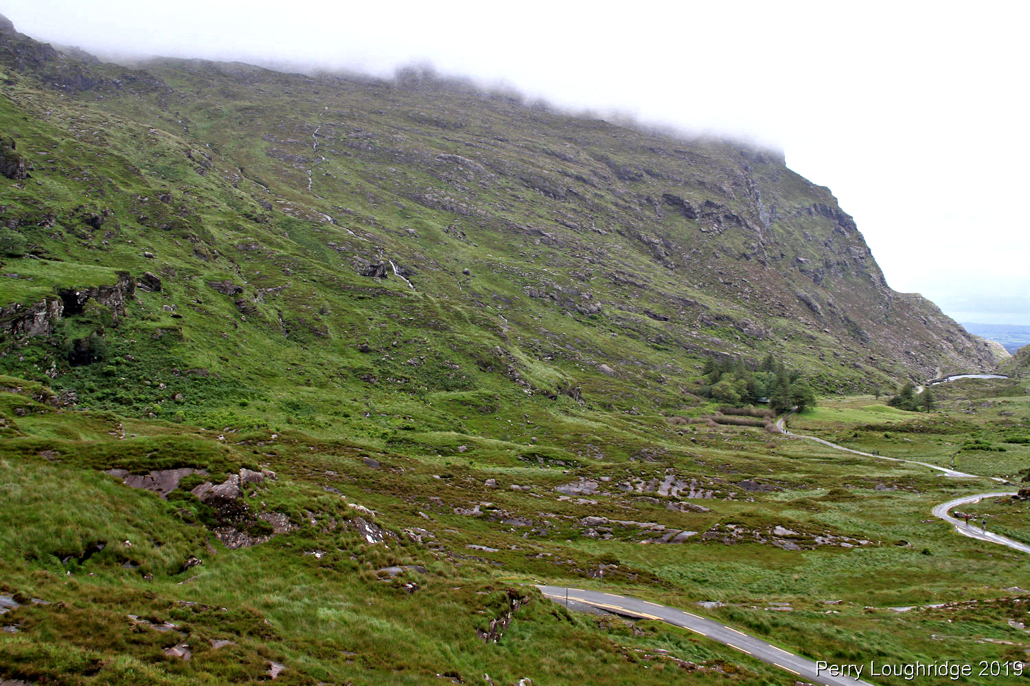
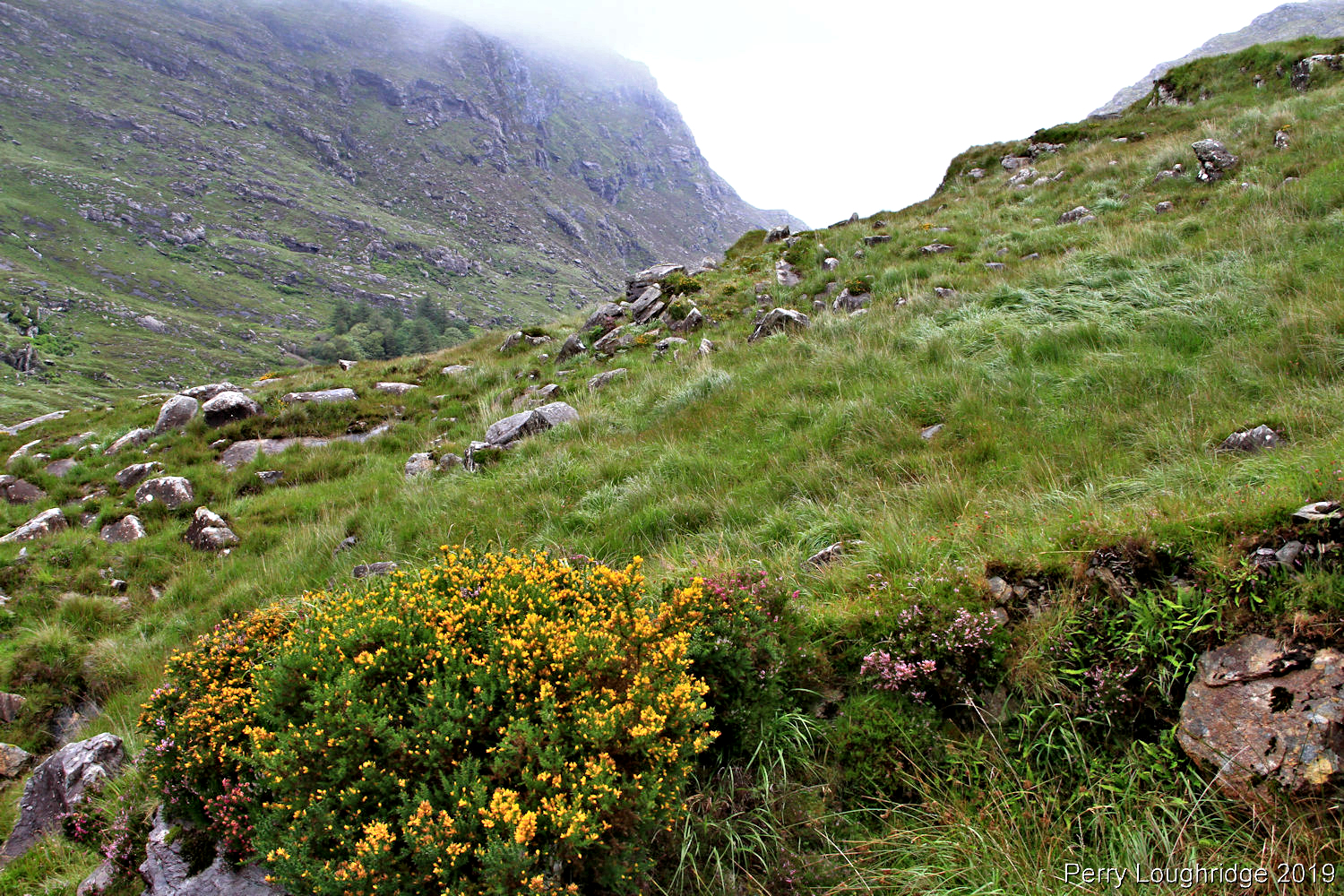
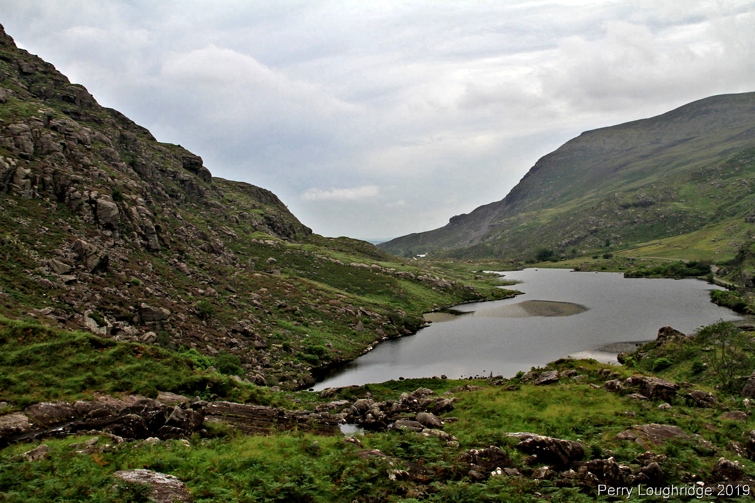
After getting checked into Black Valley Hostel, I headed straight for the loughs in Black Valley. After putting on rain gear, I went for a walk along the road in the valley, passing by the two sections of loughs that make up Lough Gummeenduff.
Driving down to the loughs on my first full day in Black Valley.
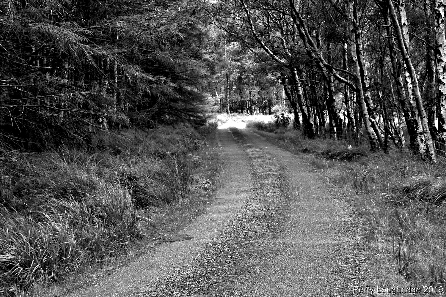
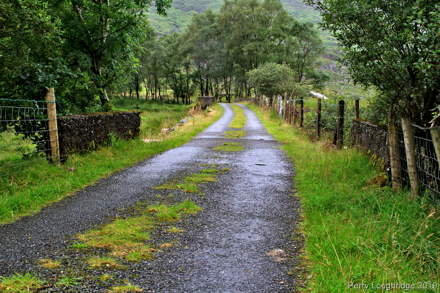
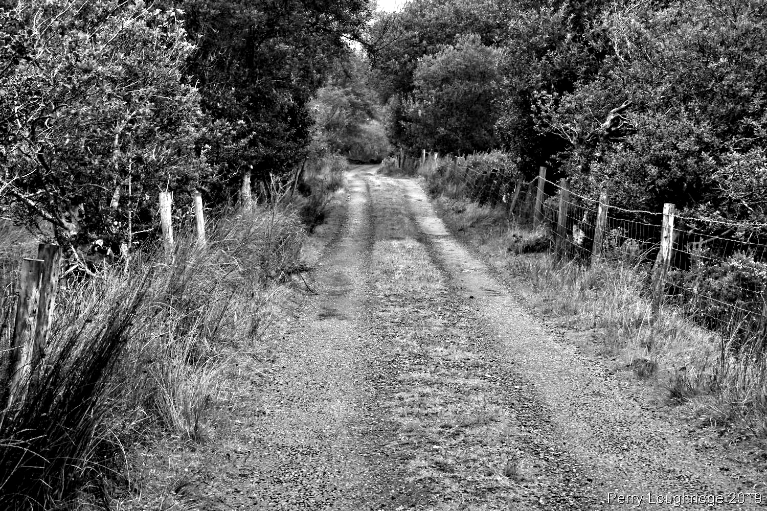
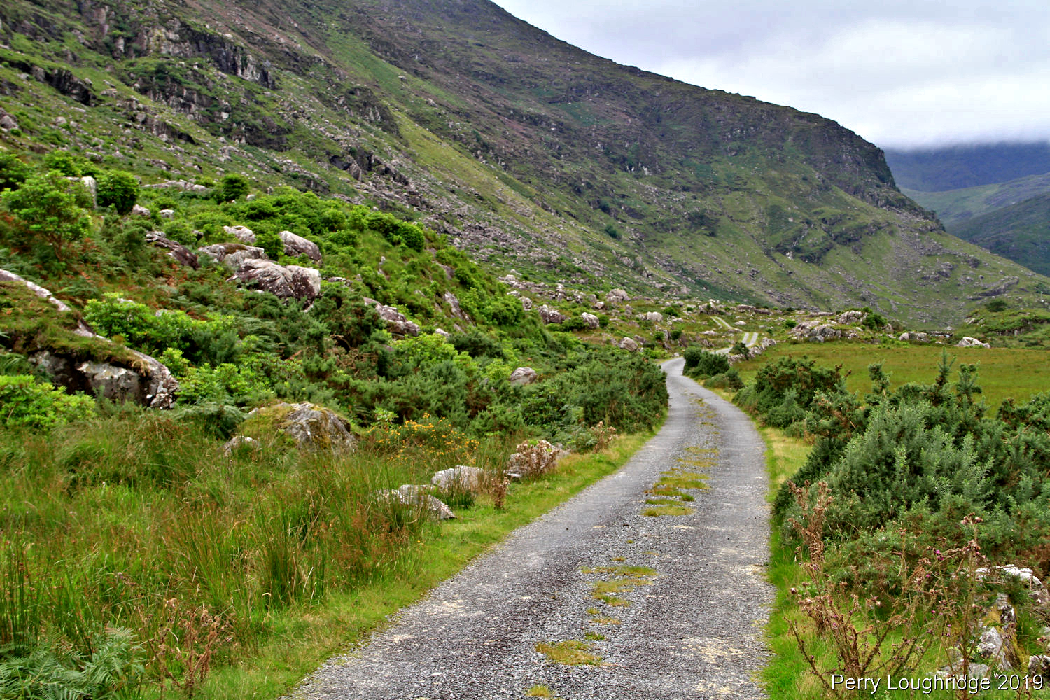
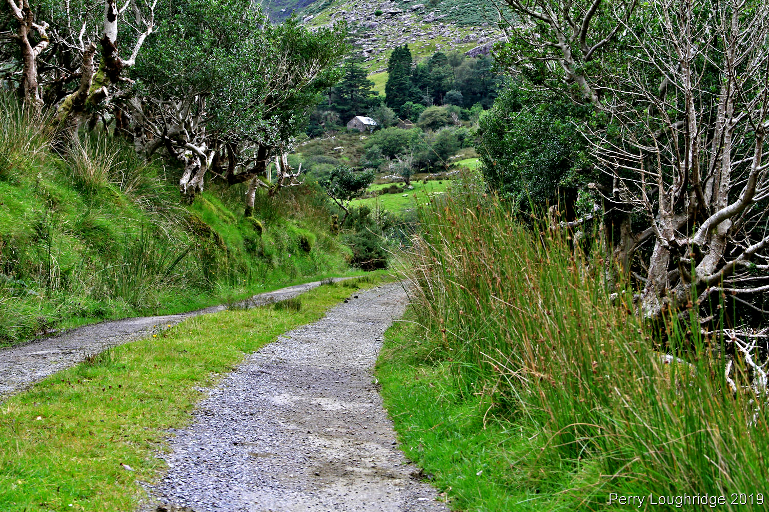
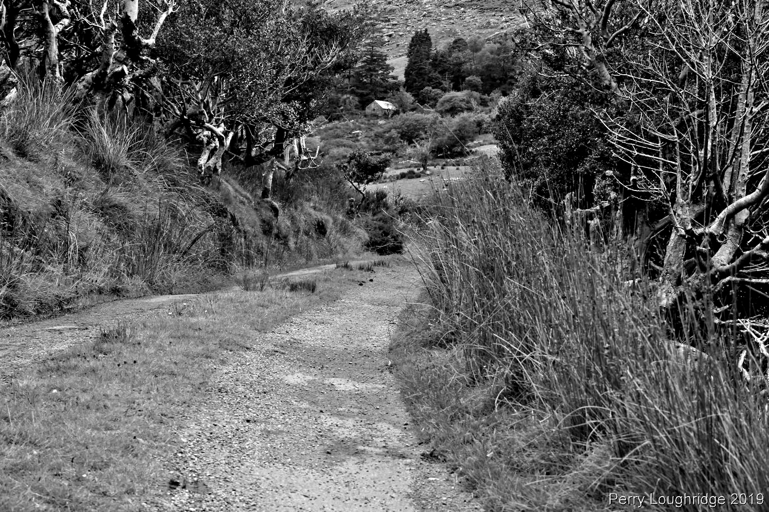
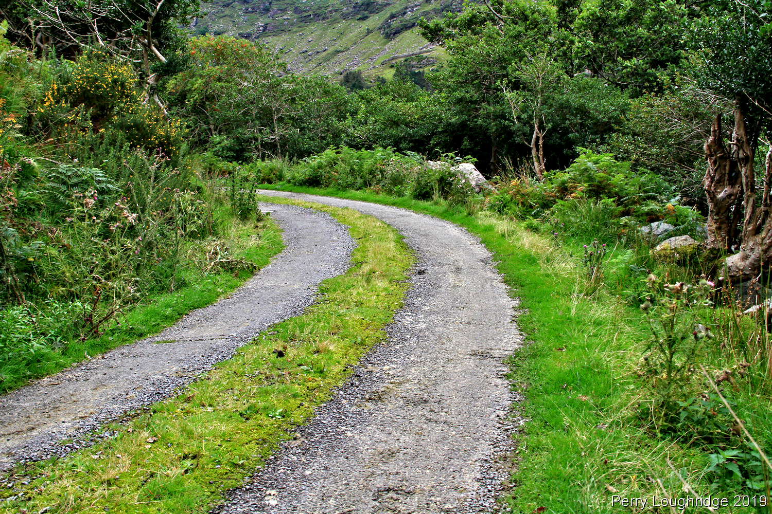
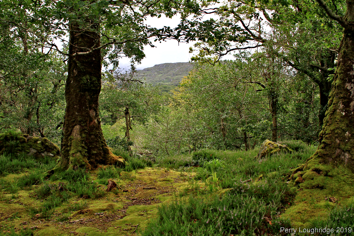
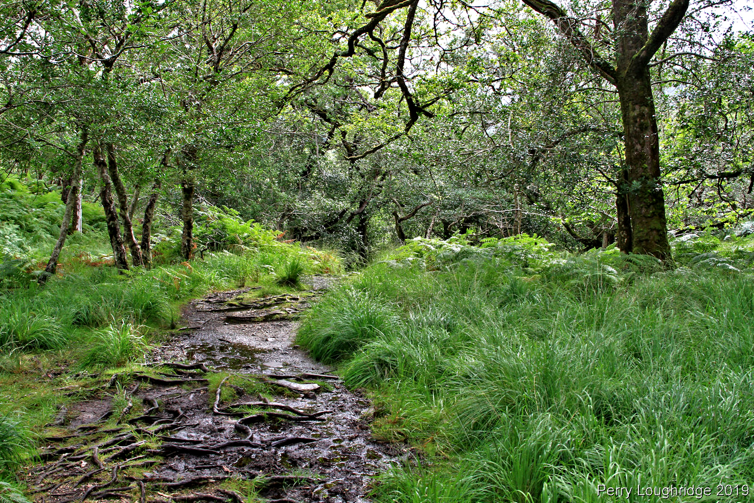
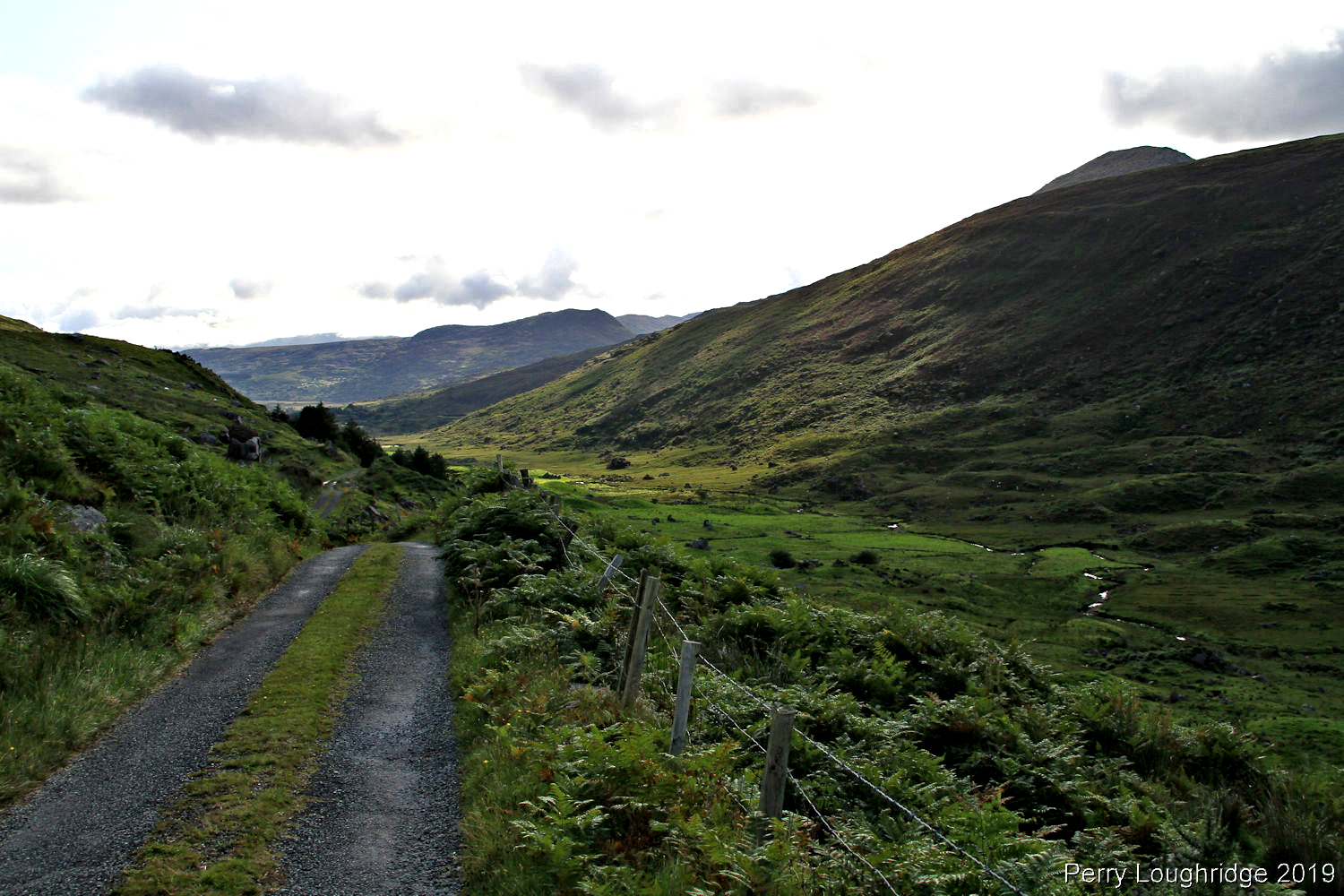
I took a hike along the road.
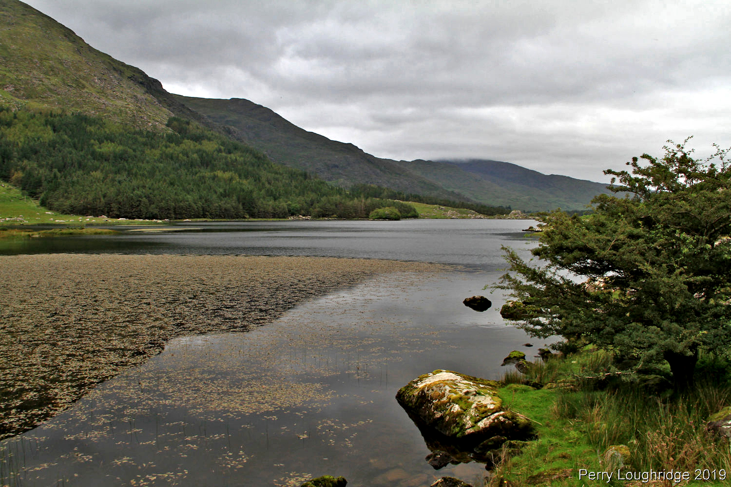
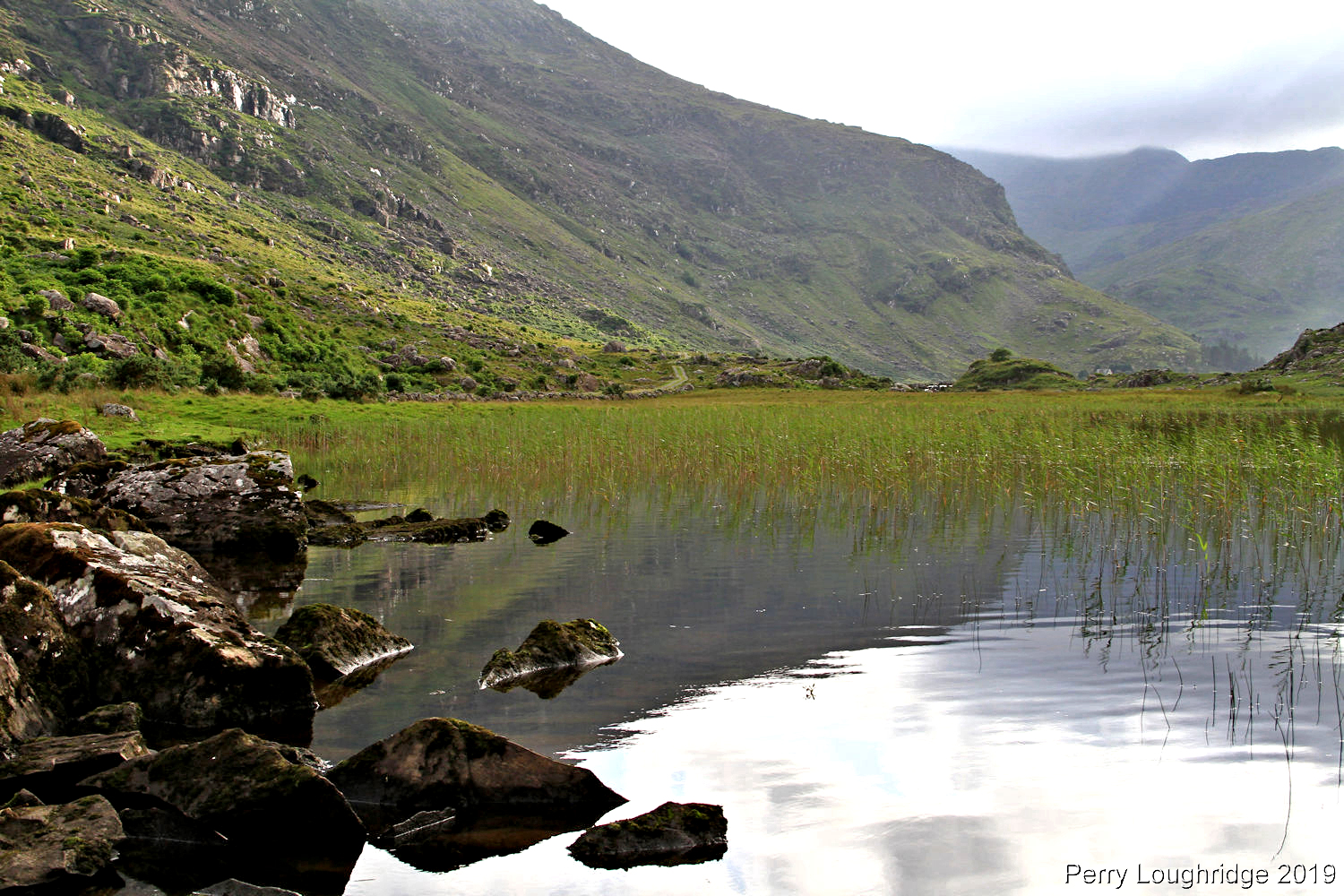
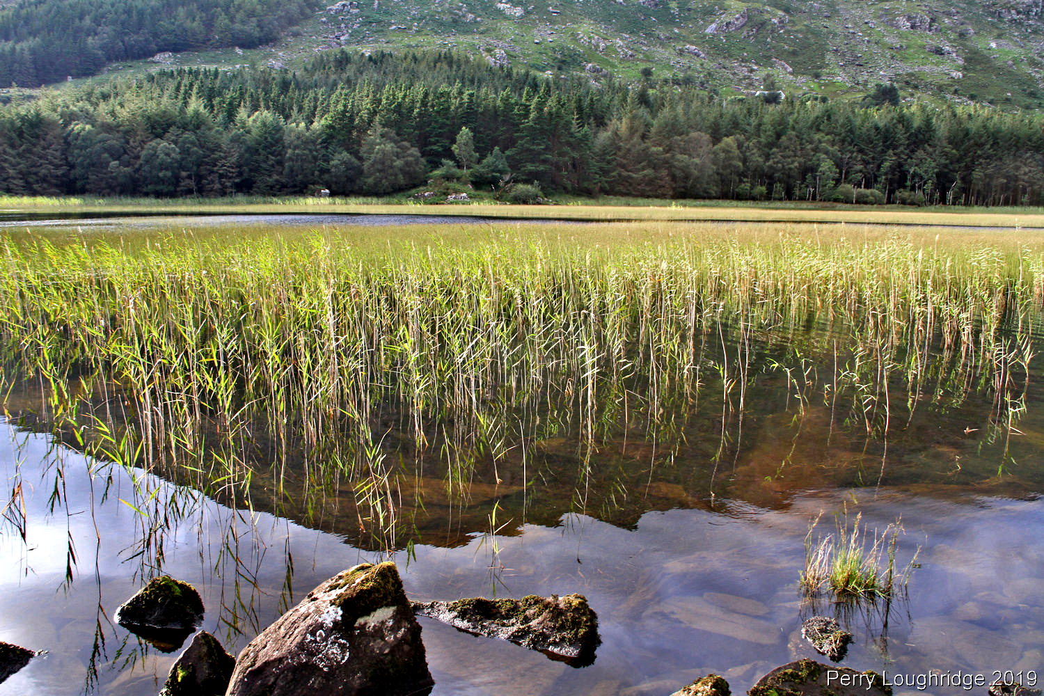
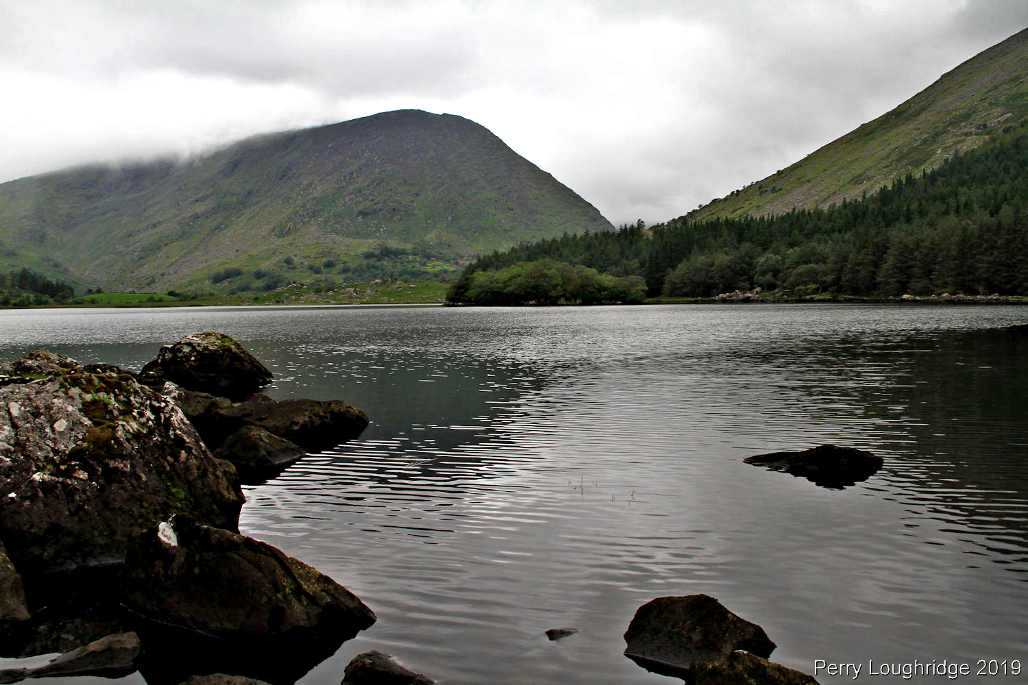
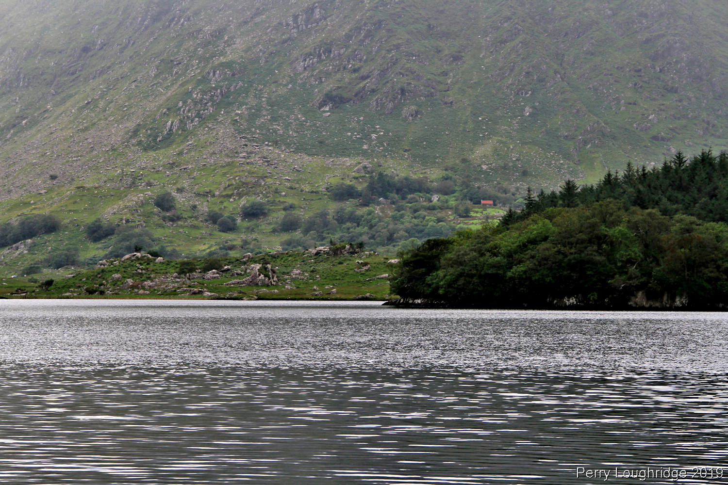
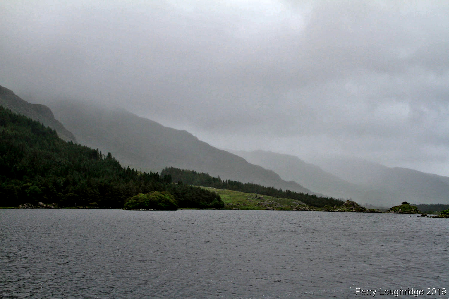
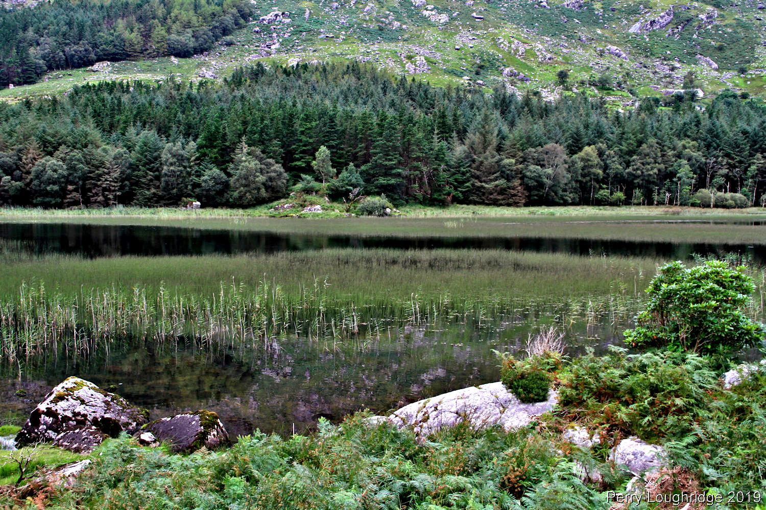
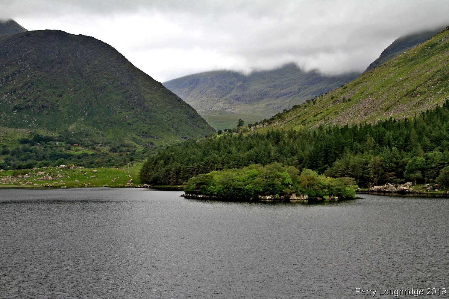
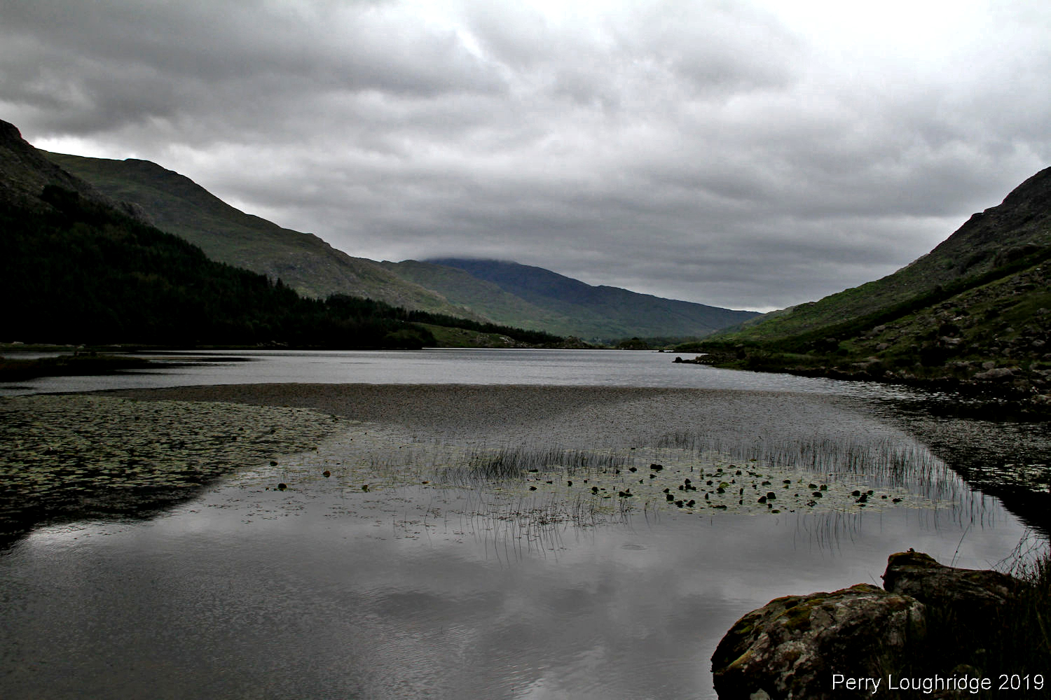
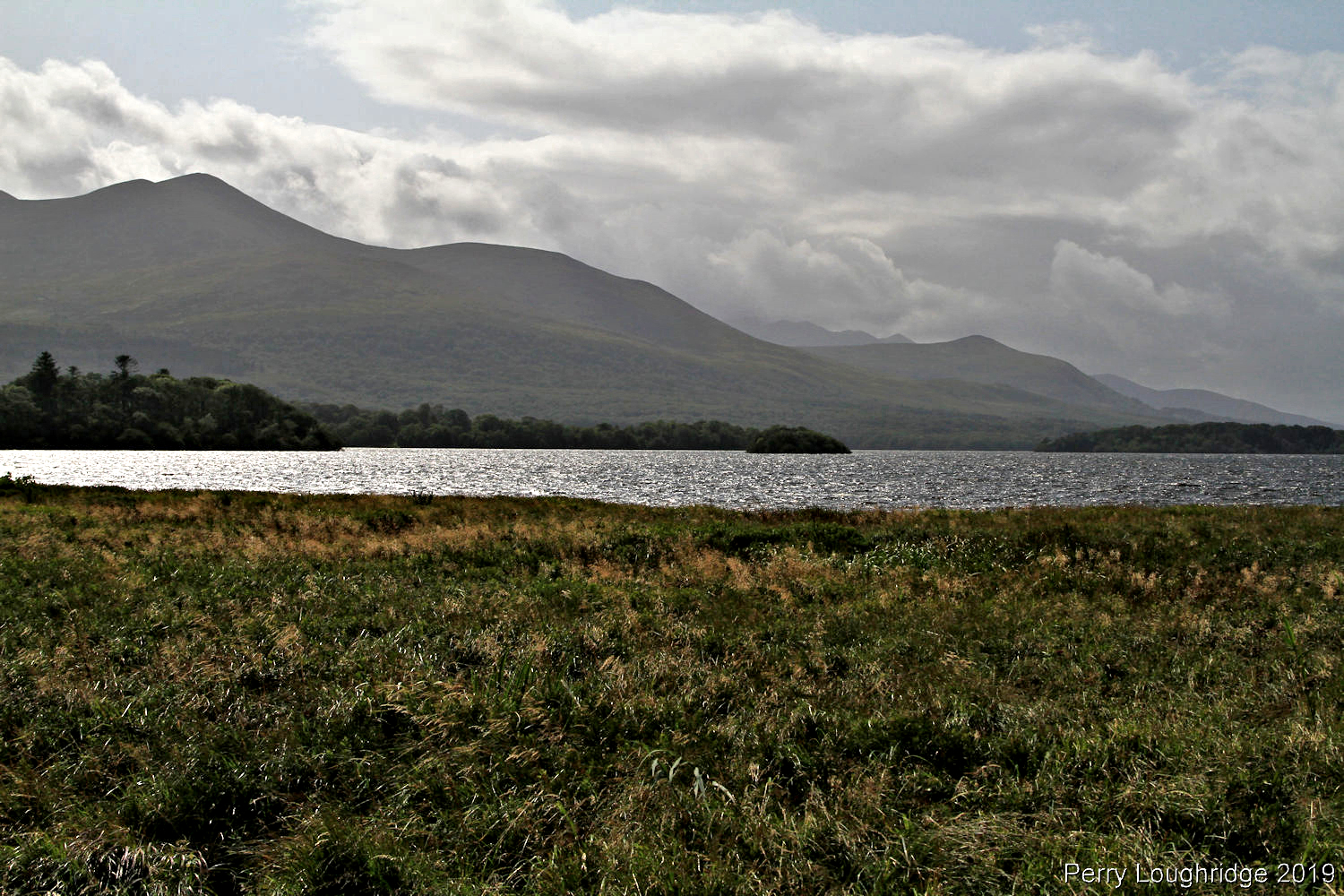
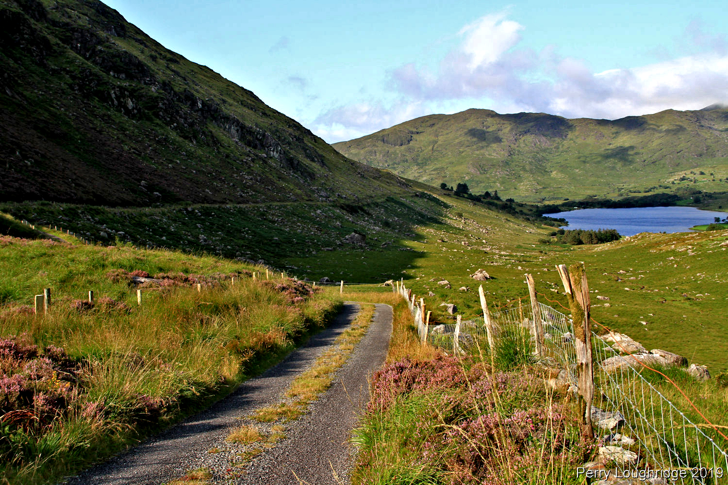
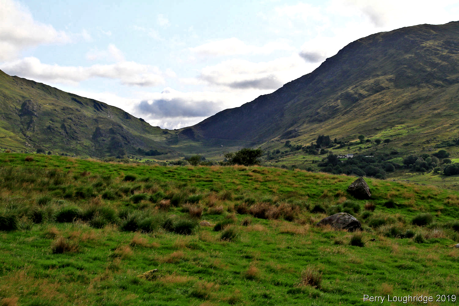
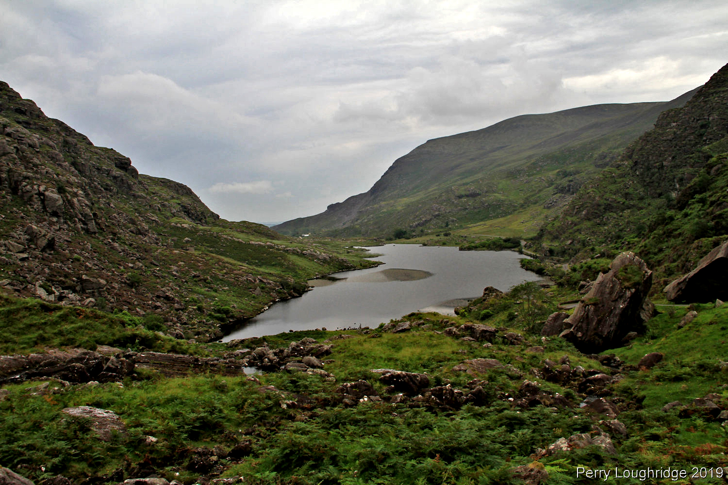
First views of the upper section of Lough Gummeenduff .
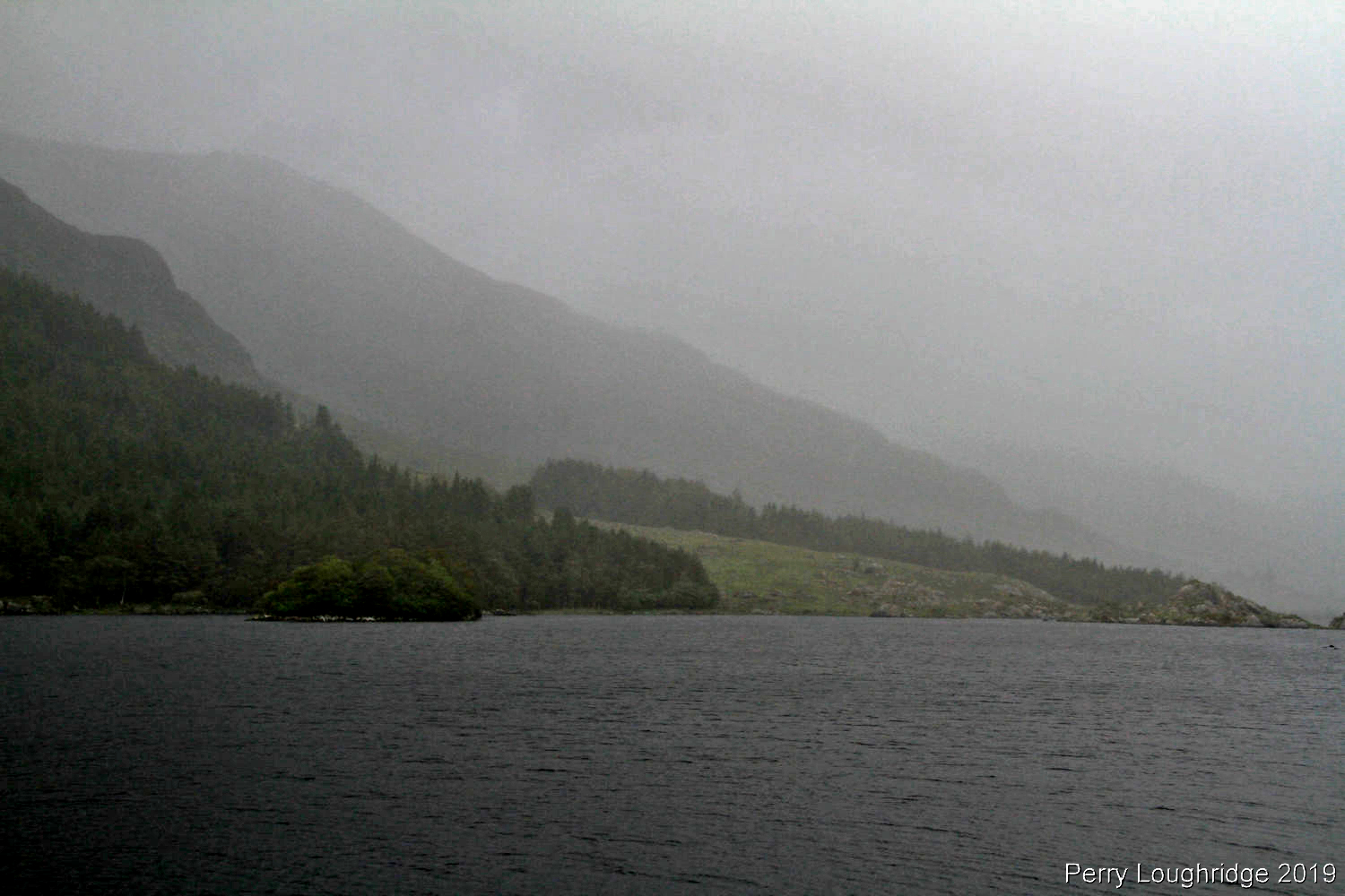
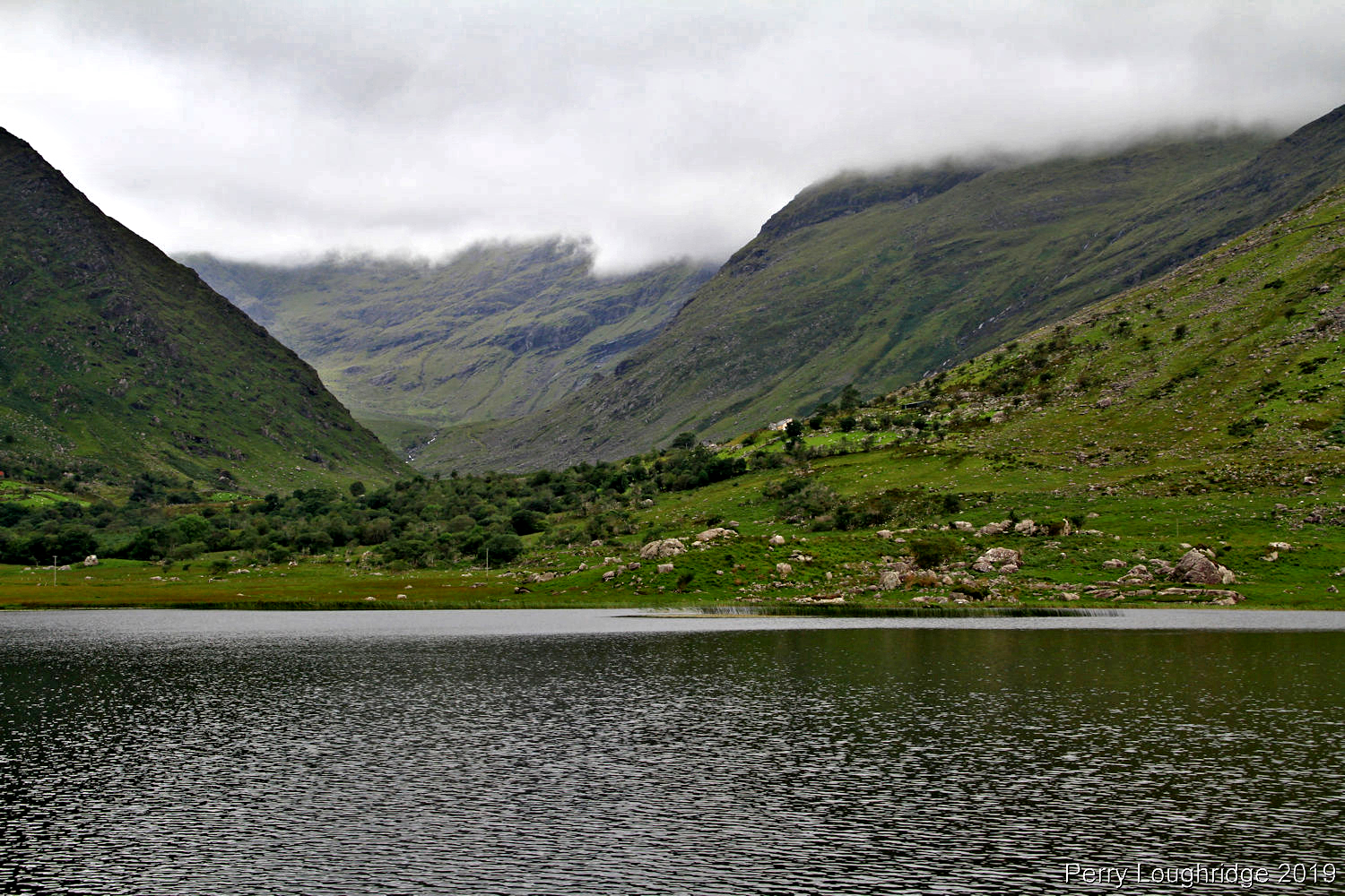
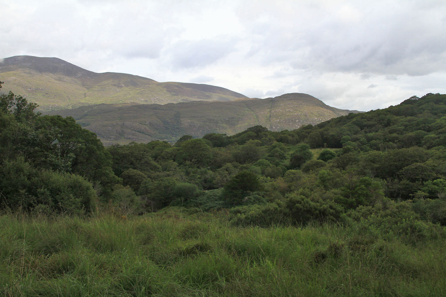
Looking back down the valley.
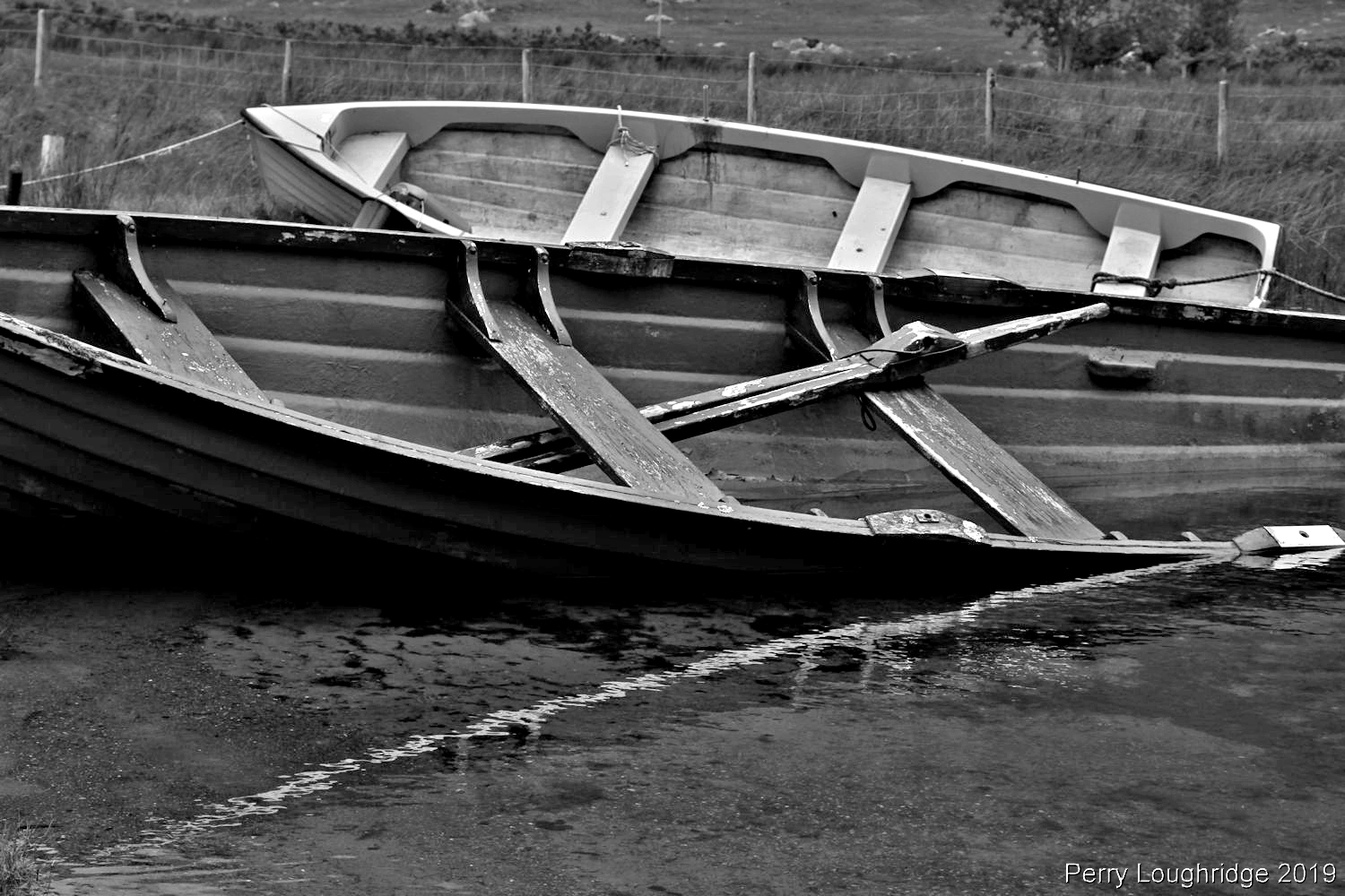
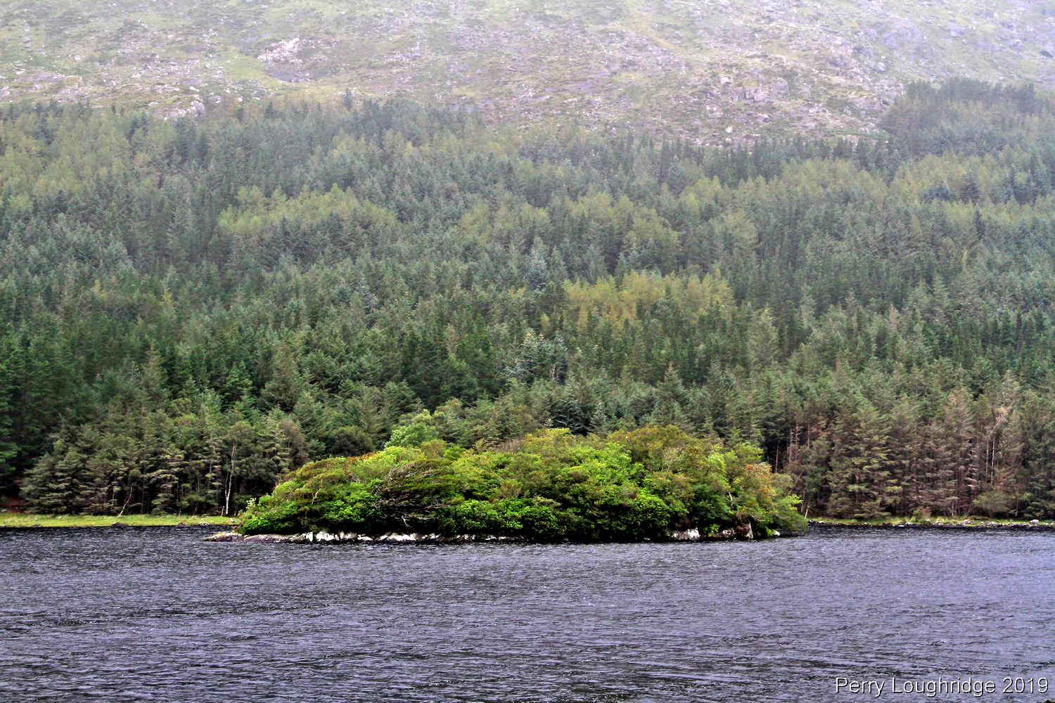
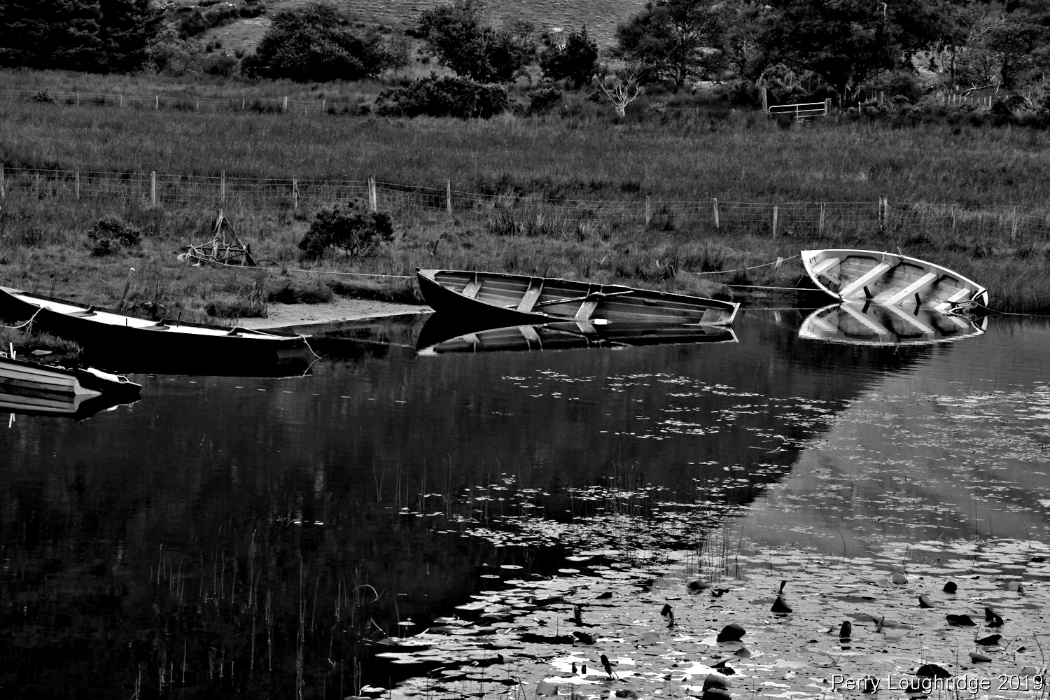
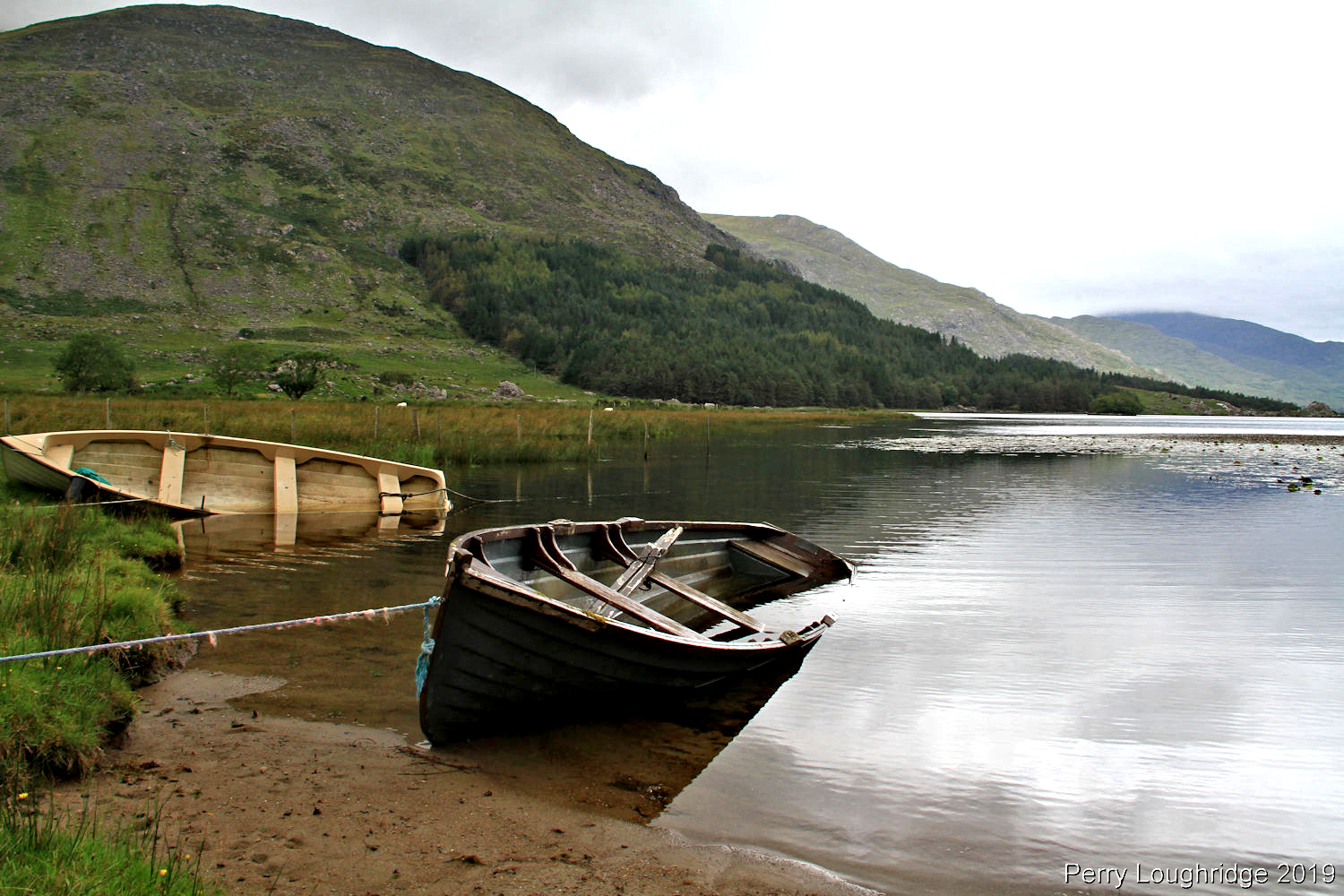
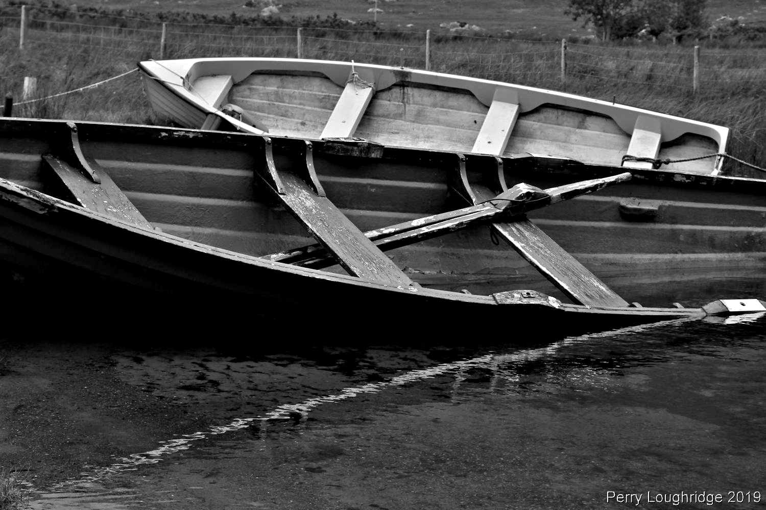
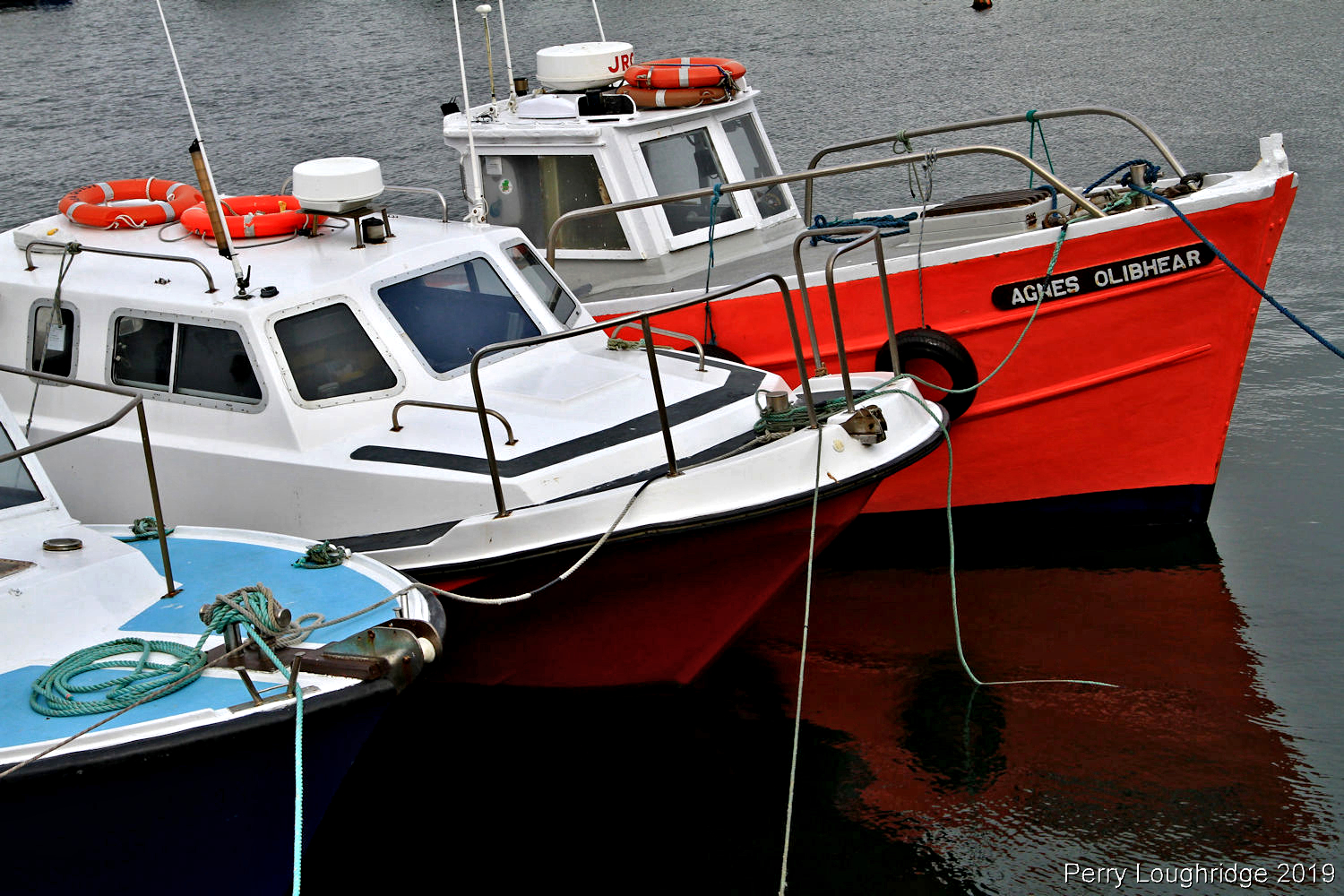
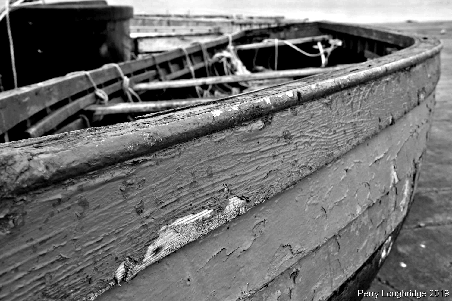
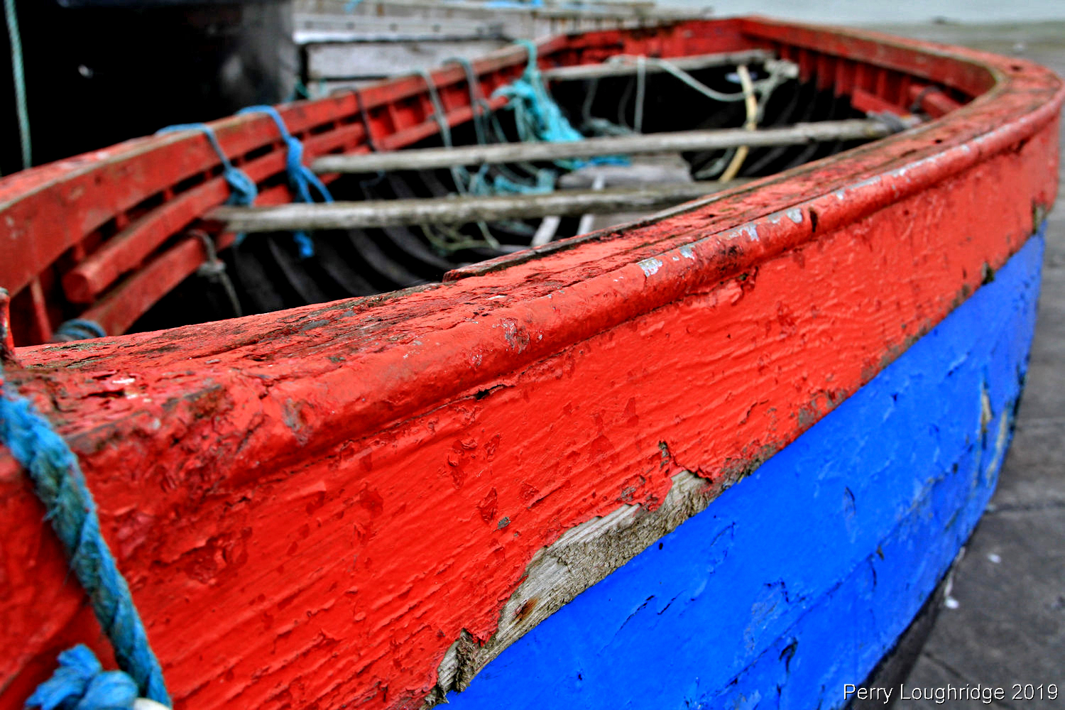
At the upper end of Lough Gummeenduff. I took a liking to those boats.
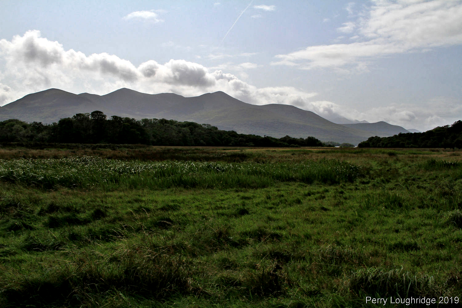
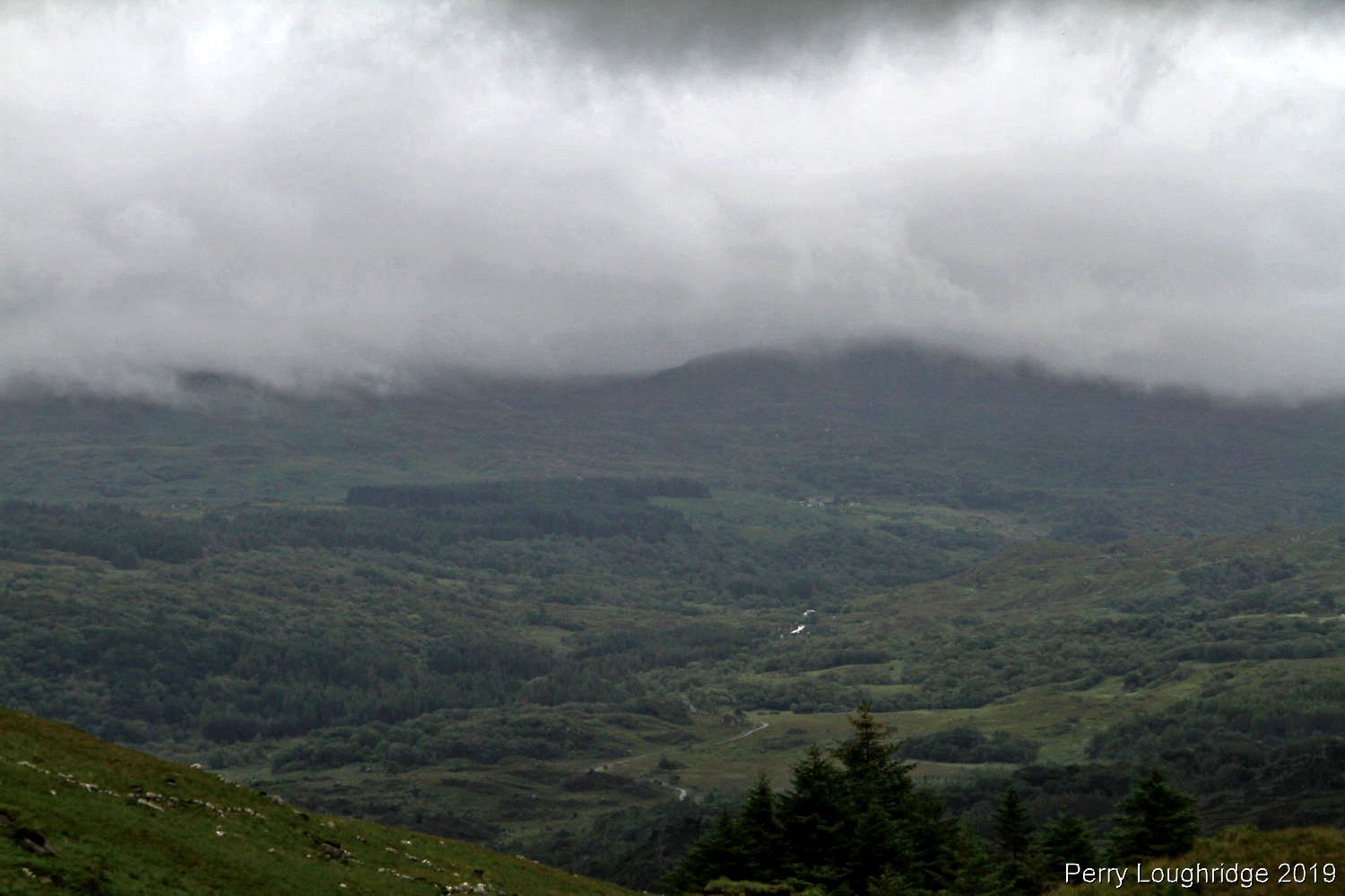
Looking southeast towards Killarney National Park.
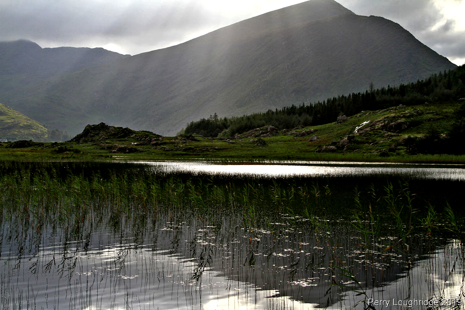
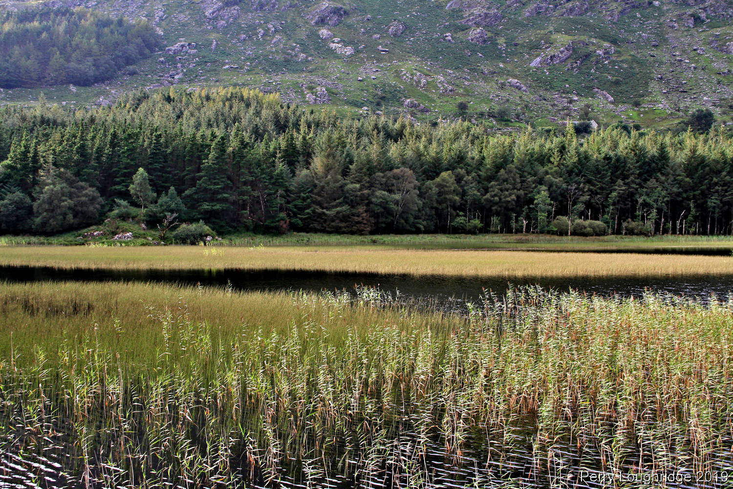
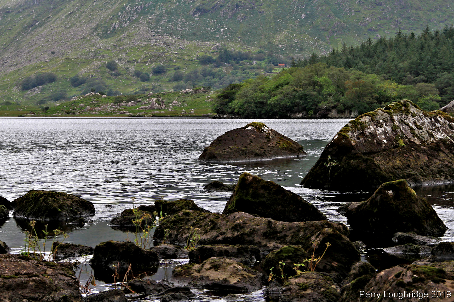
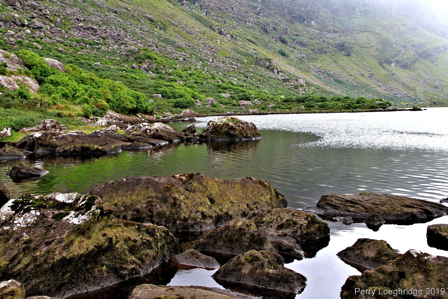
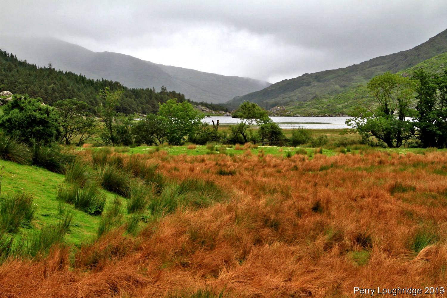
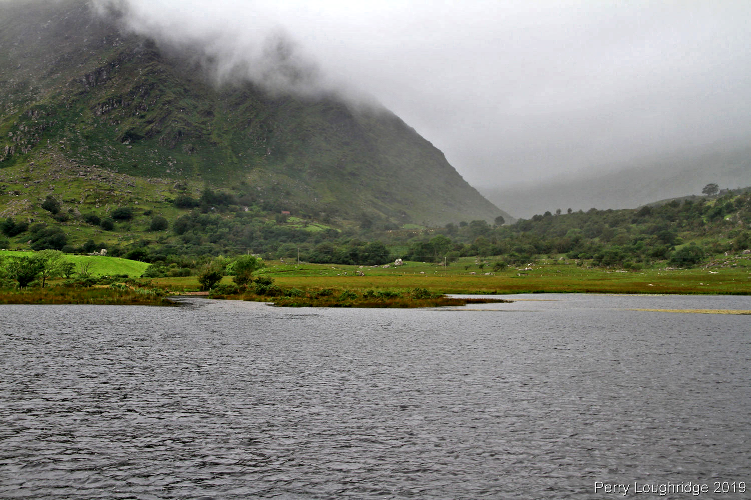
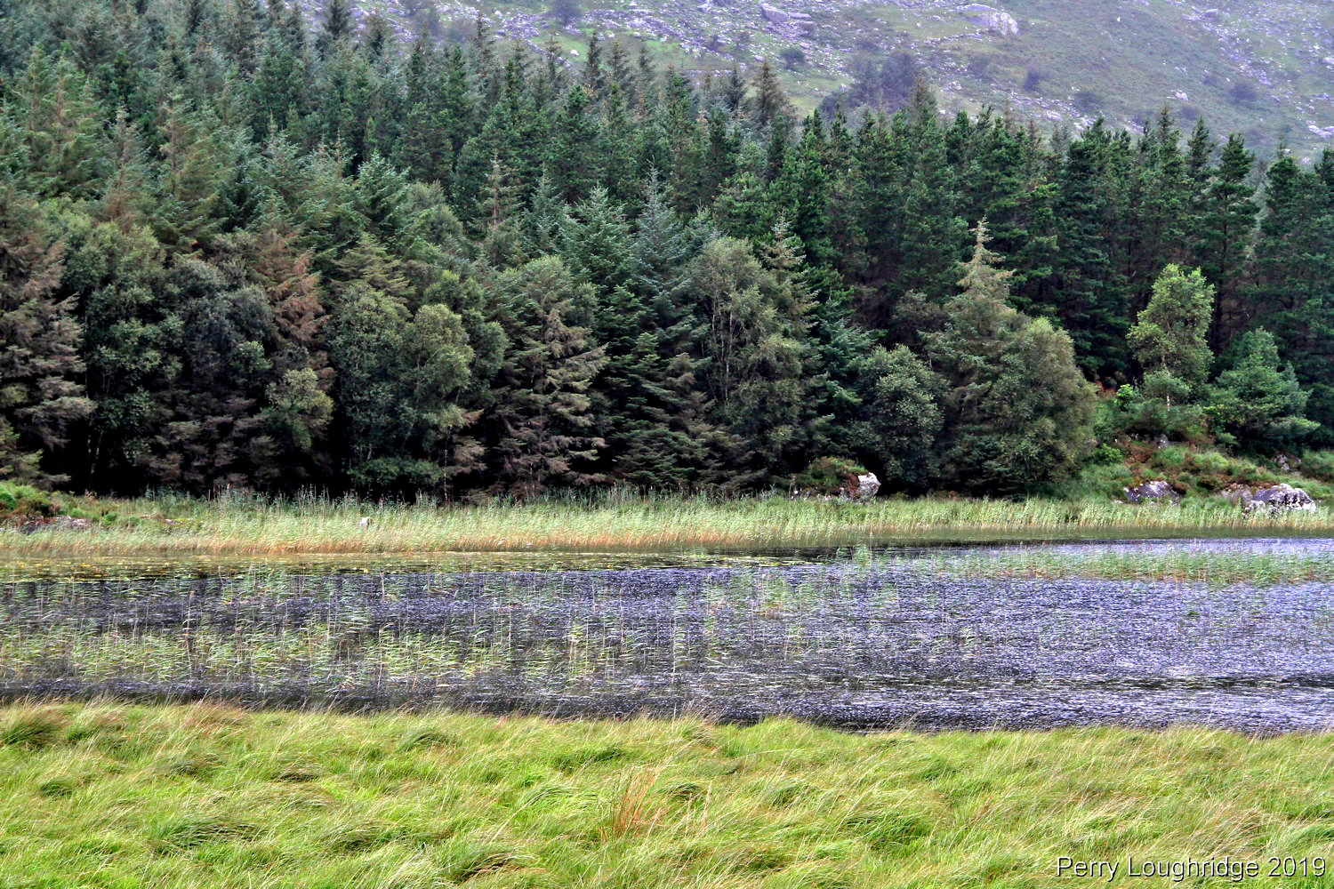
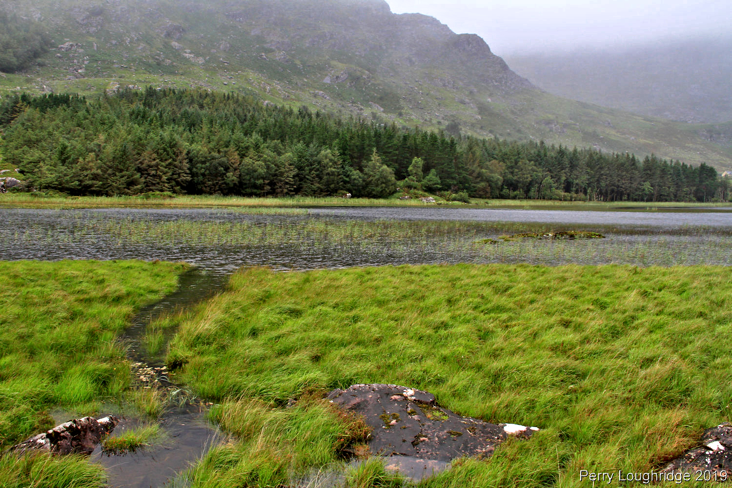
Back at the loughs.
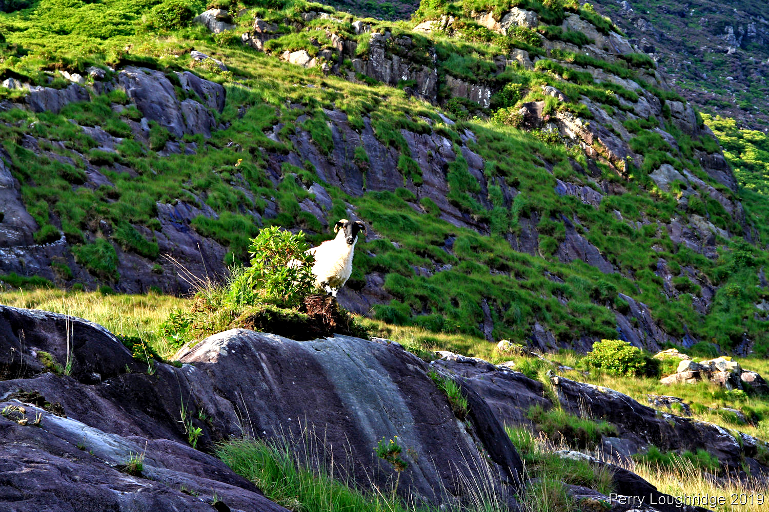
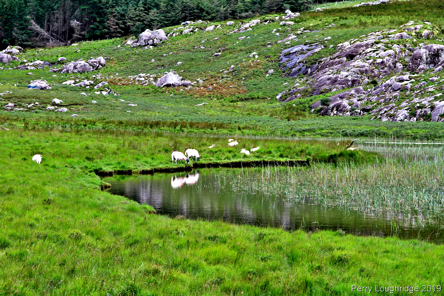
Lots of sheep in Ireland.
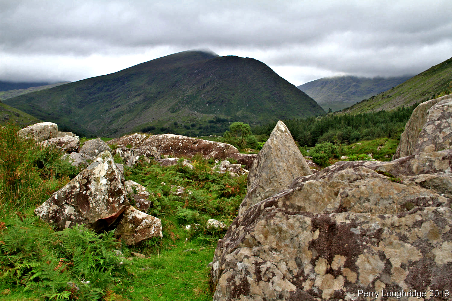
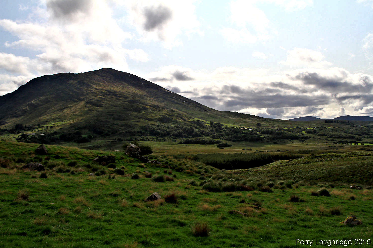
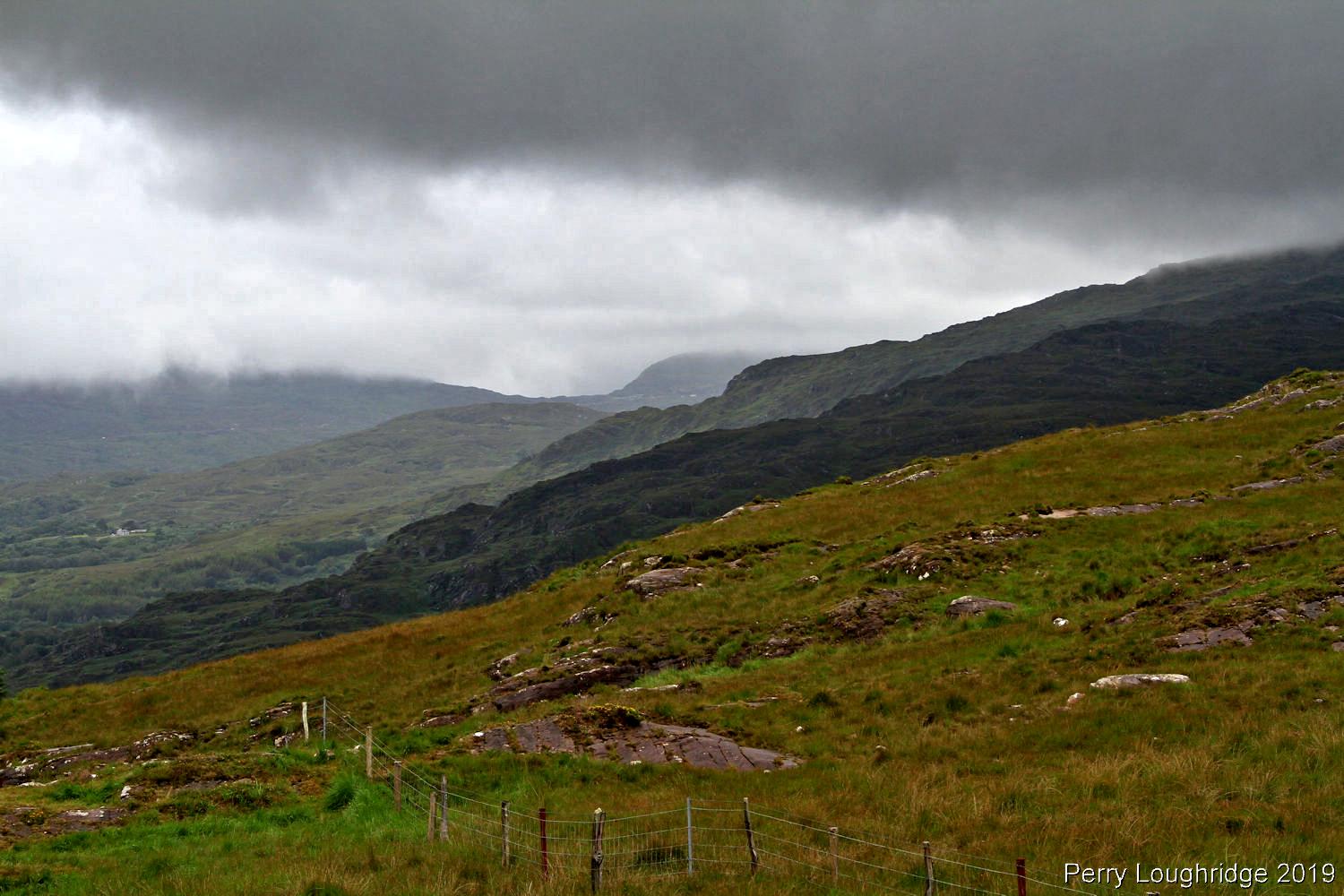
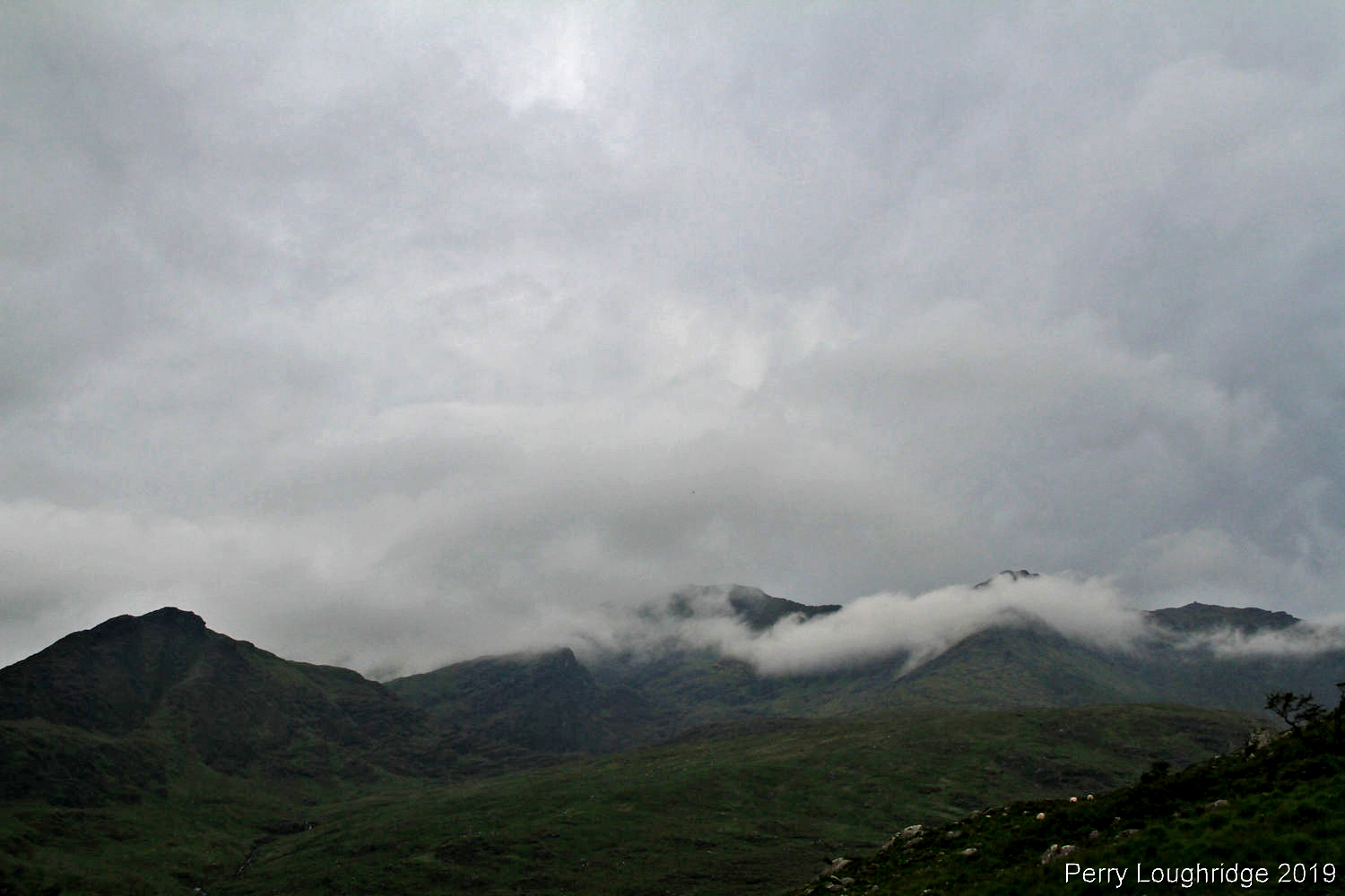
Looking northwest into the MacGillycuddy Reeks.
Back at the boats:).
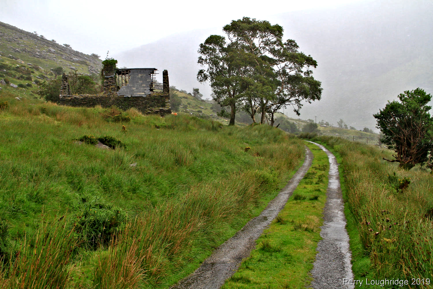
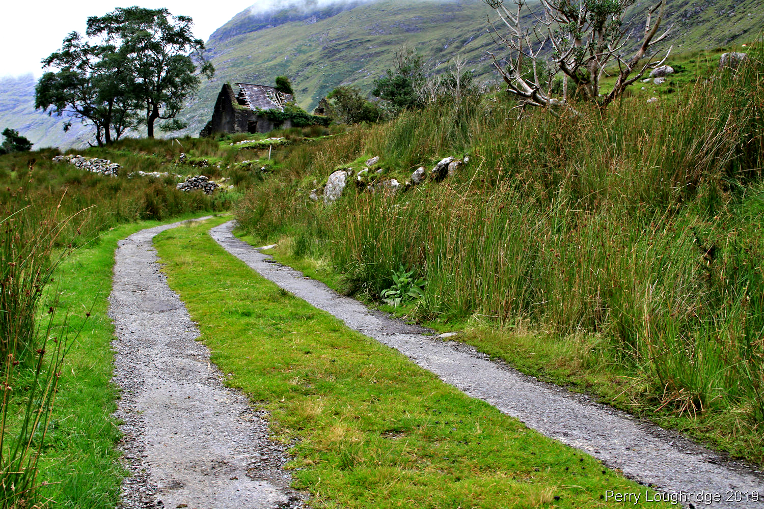
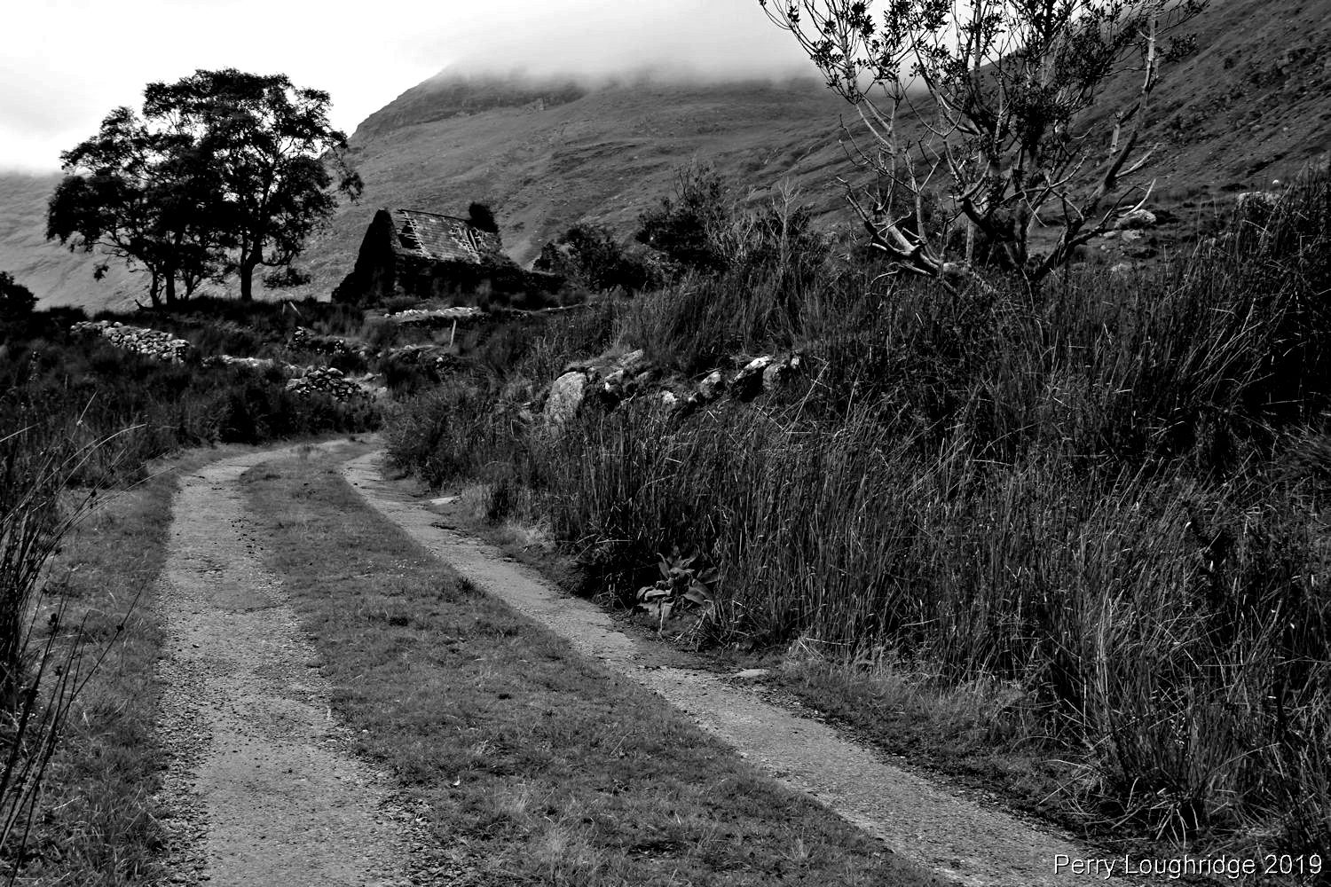
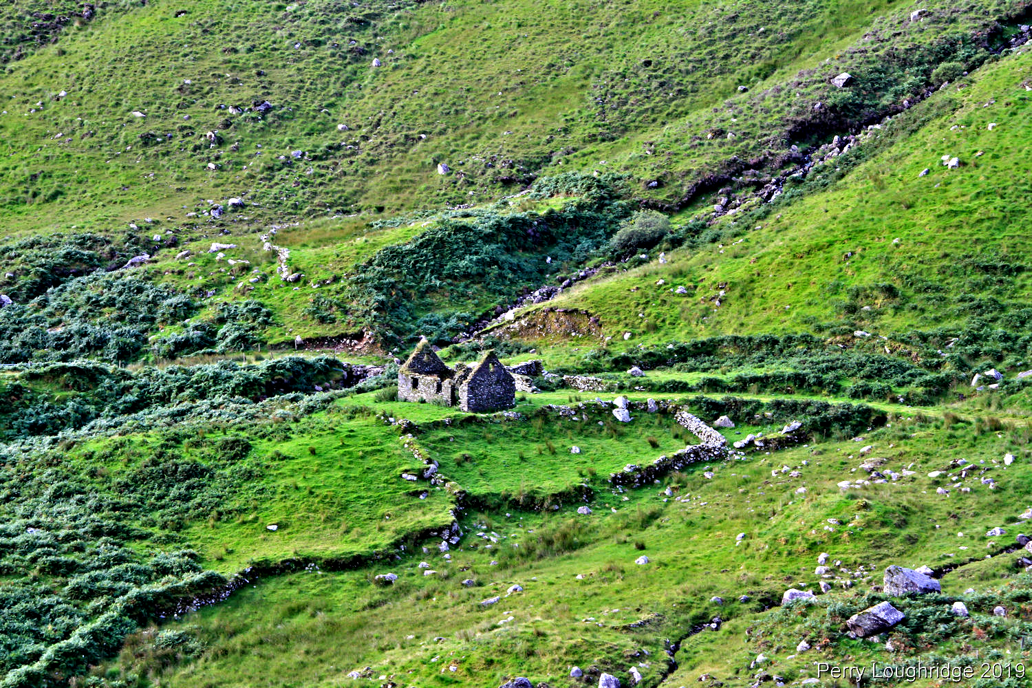
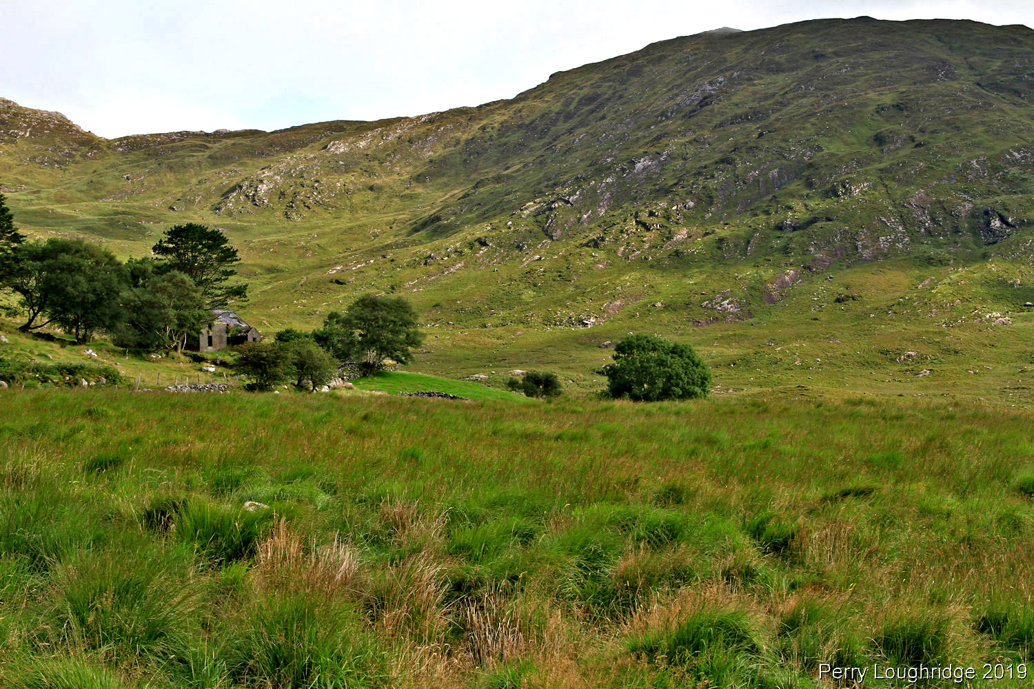
Another view of the old cottage. I originally planned to hike to the big waterfall I spotted earlier this day, but didn’t feel right crossing private property (have since learned the rules).
A little bit of sun dances across the Reeks.
While walking along the road, an 81 series Land Cruiser passed by me. Was to excited to get a pic ( I did give him a thumbs up)…..
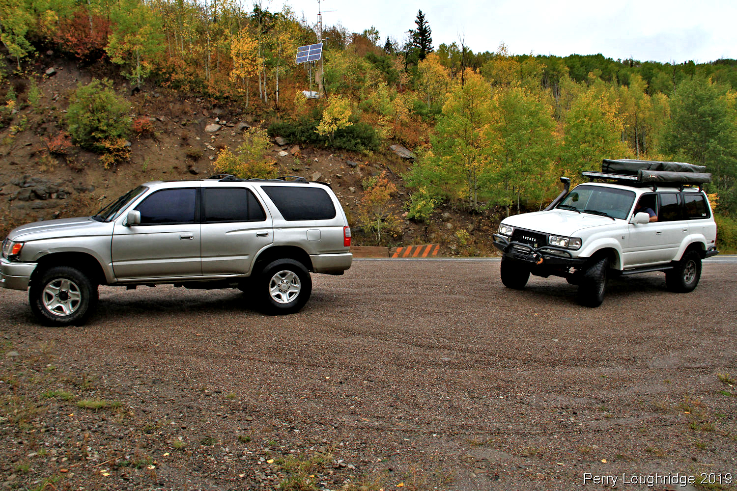
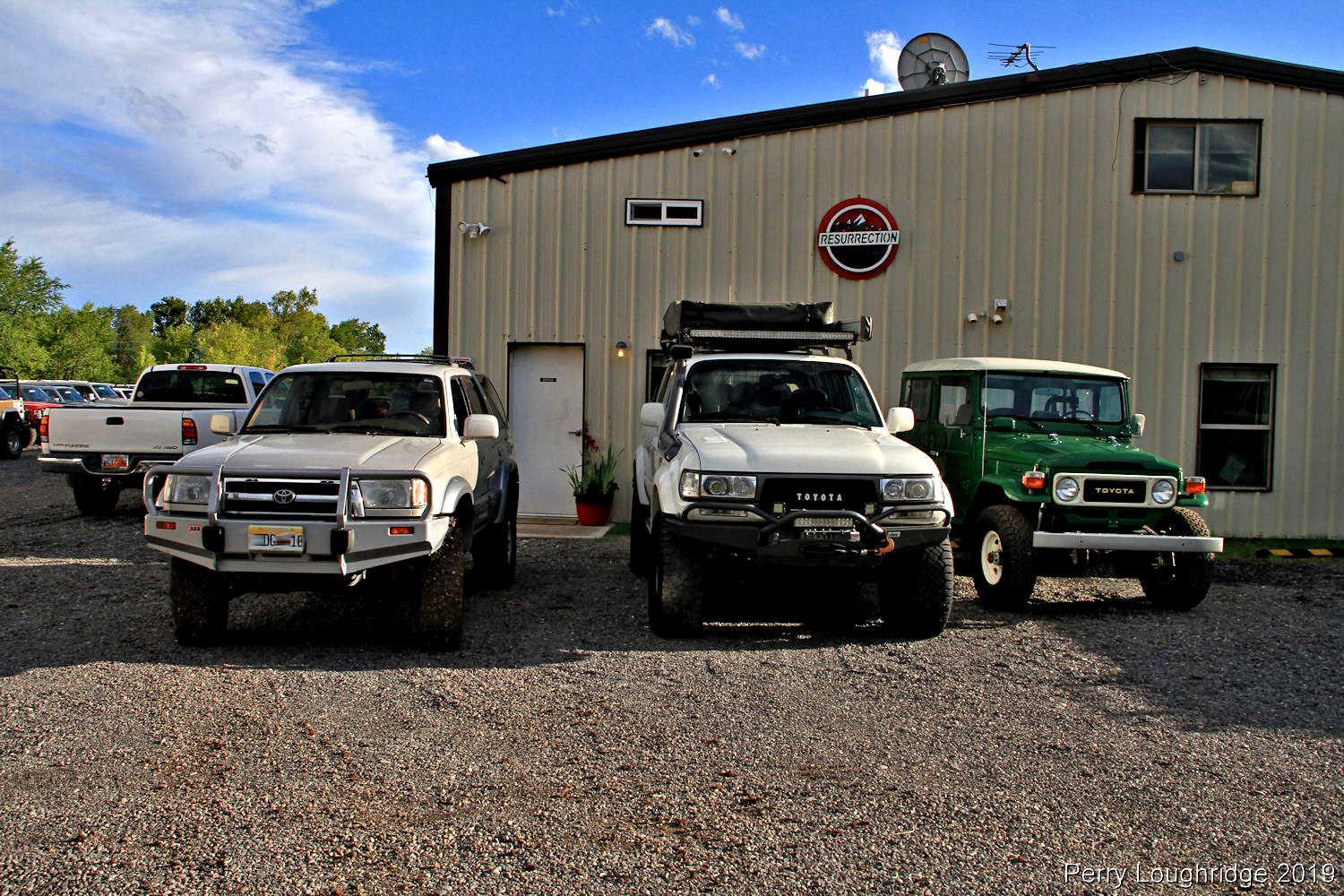
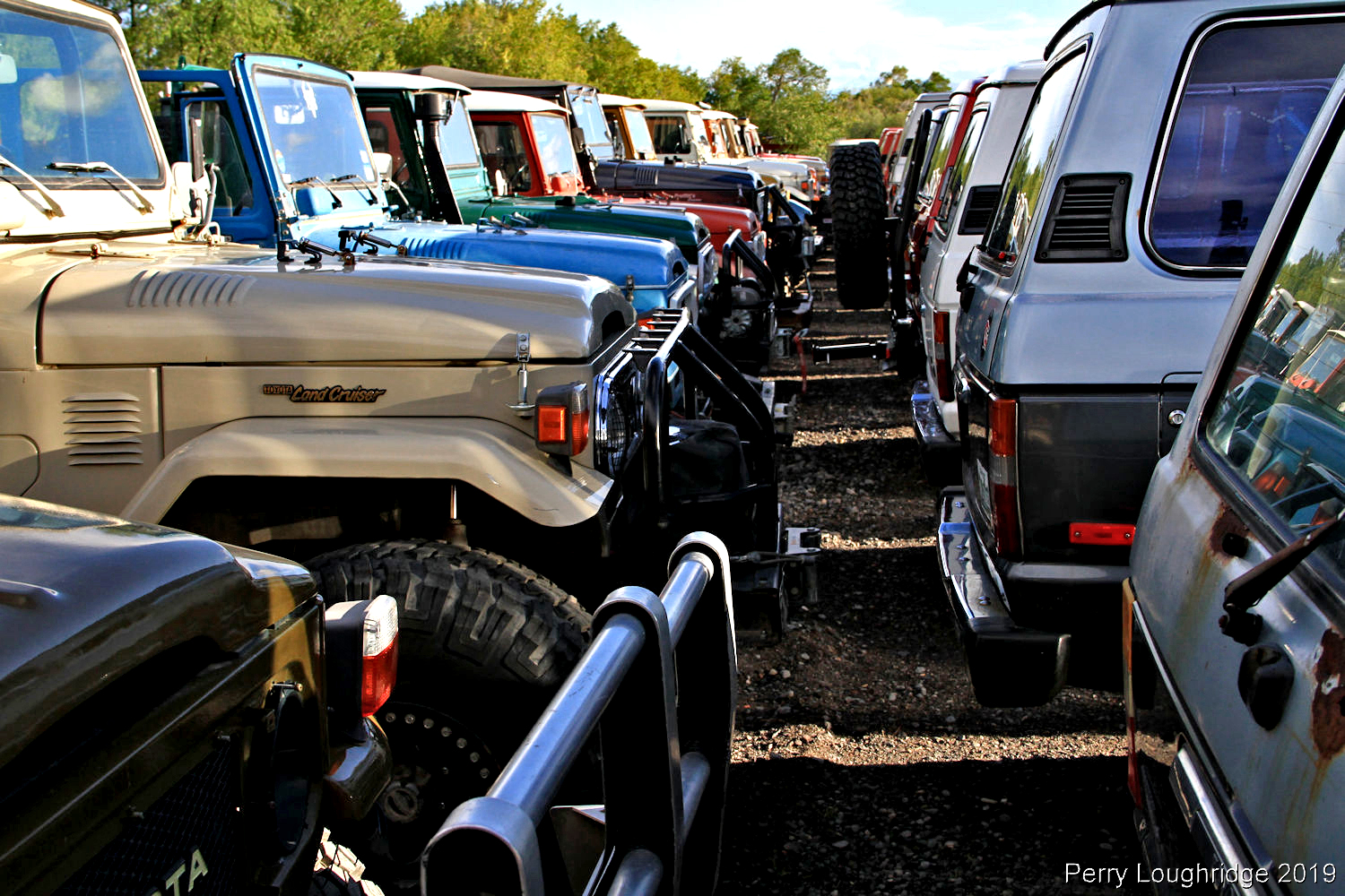
Crazy to think that it’s been two years since I picked up my current 3rd gen 4runner from my friend Bob, a longtime employee at Proffitt’s Resurrection Land Cruisers.
Managed to get a few trips and upgrades in that time:).
Here are pics from that first time picking up the new 3rd gen.
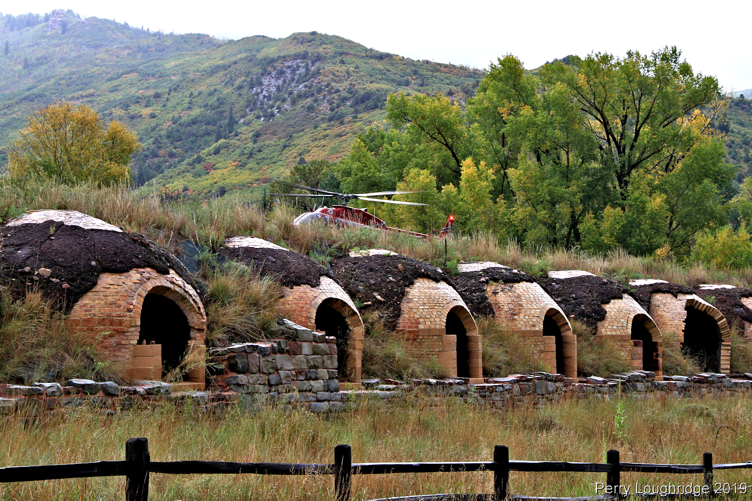
Beehives and helicopter landing. Treeroot and I enjoying the views as we made our way up McClure Pass.
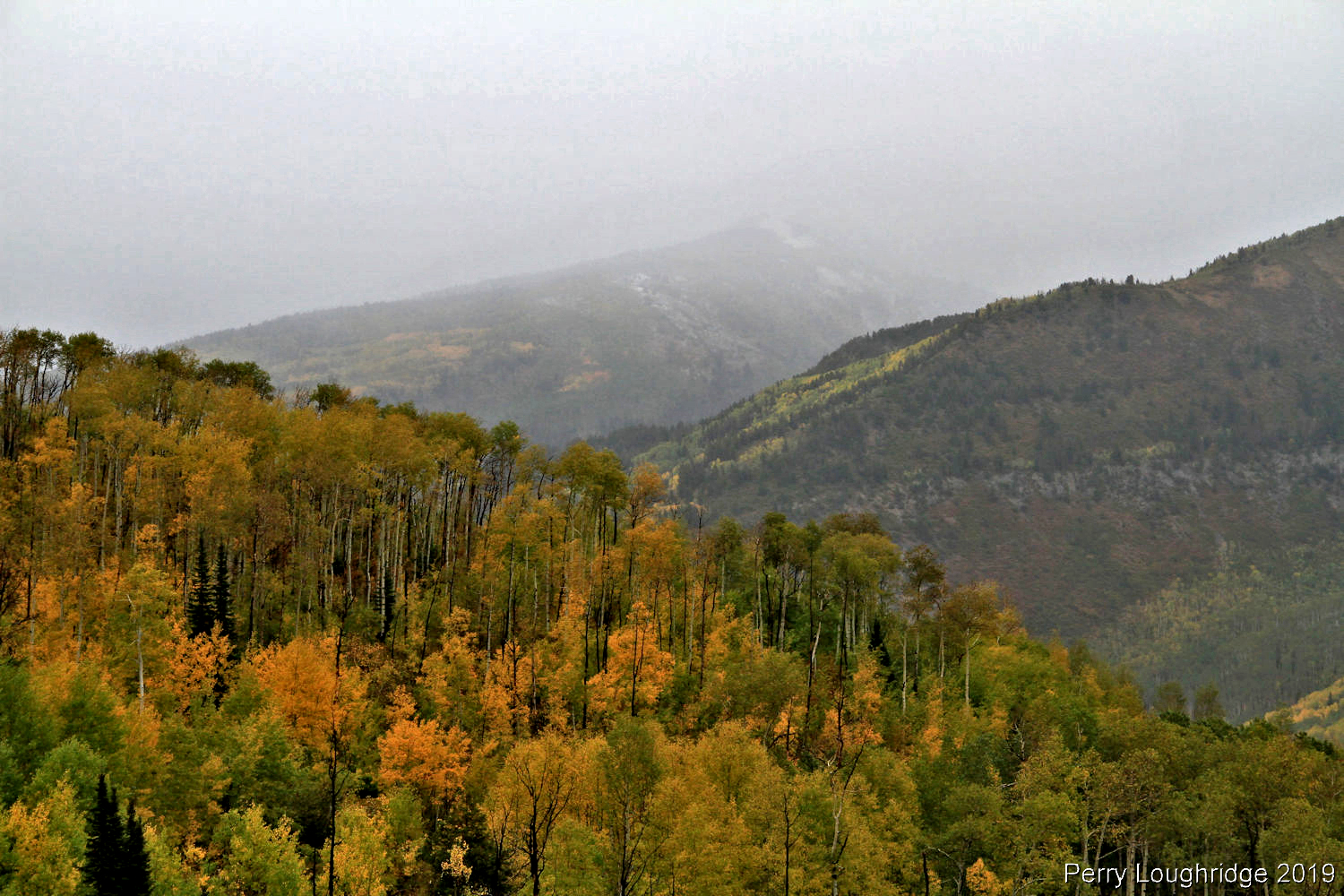
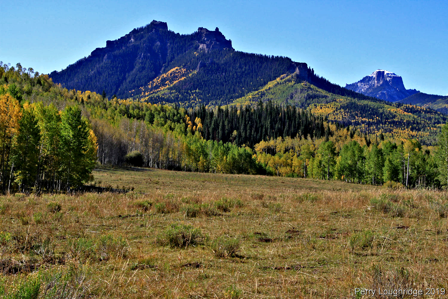
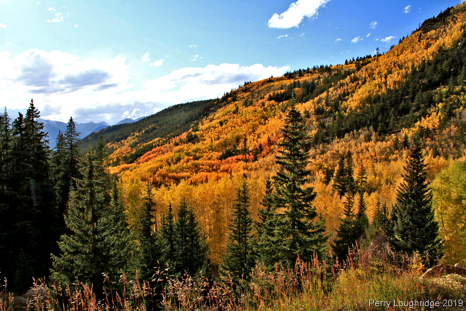
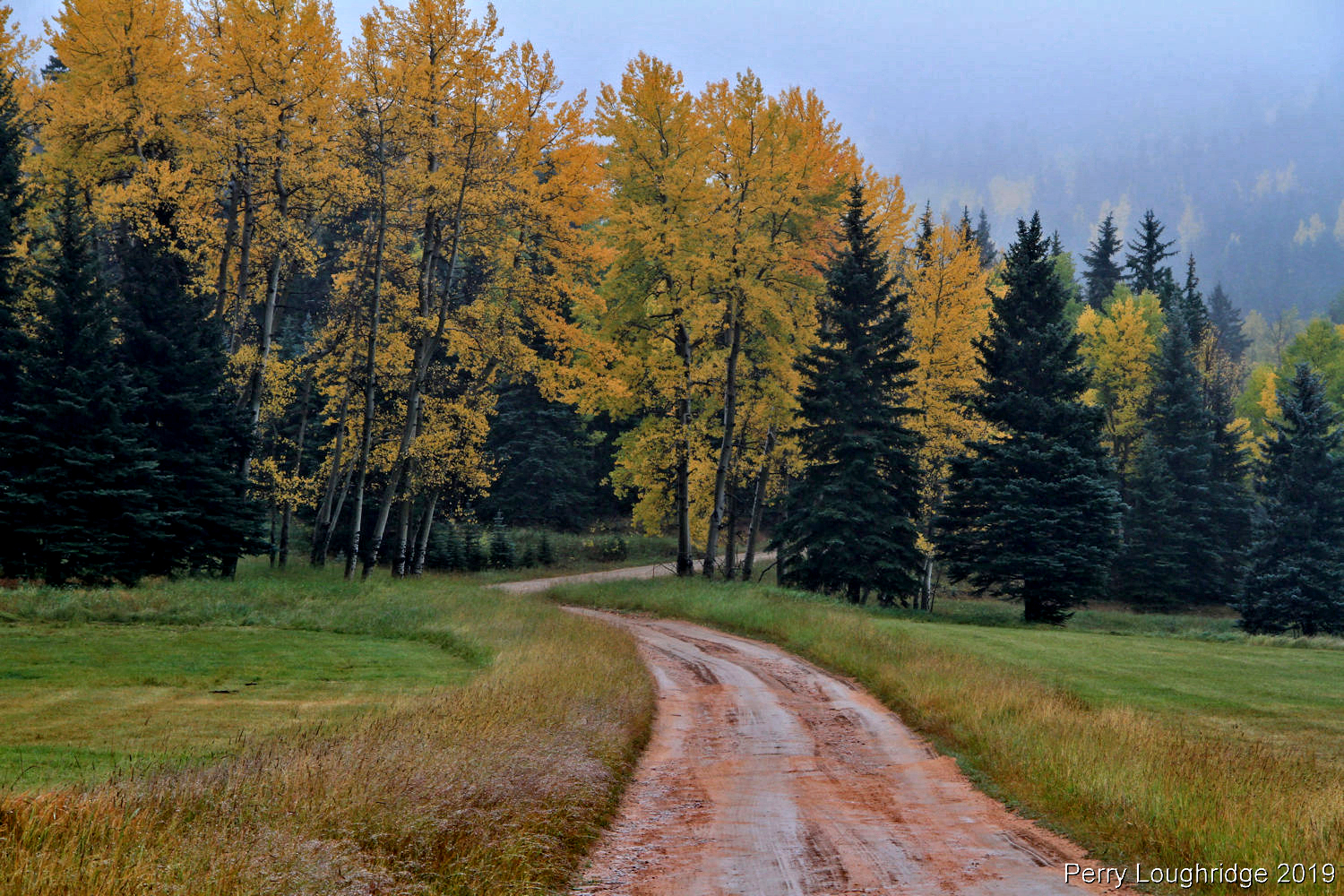
Fall colors from McClure Pass.
The third gen 4runner i’d soon be swapping out.
At Proffitt’s. With the new ’99 4runner.
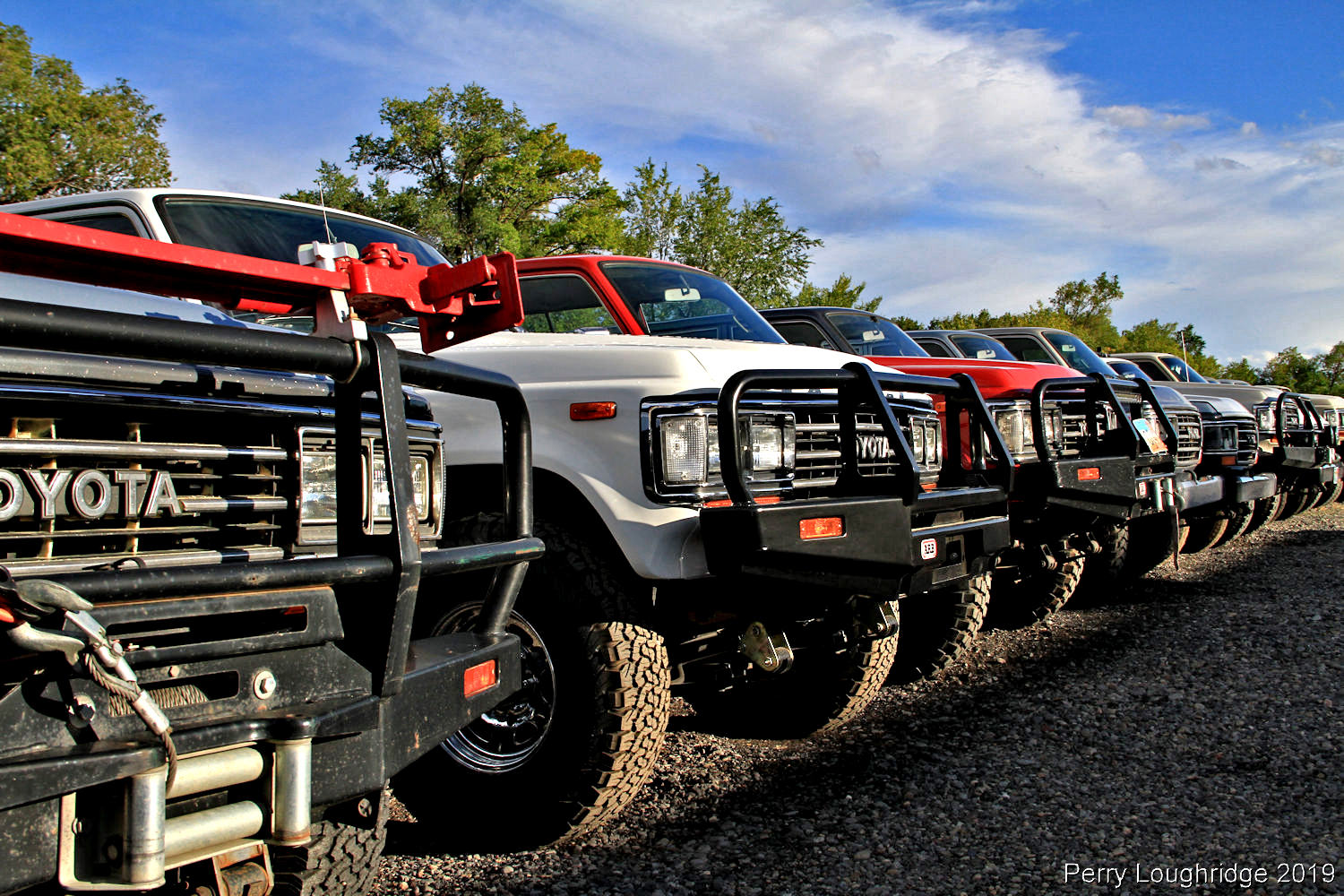
The yard was full of work.
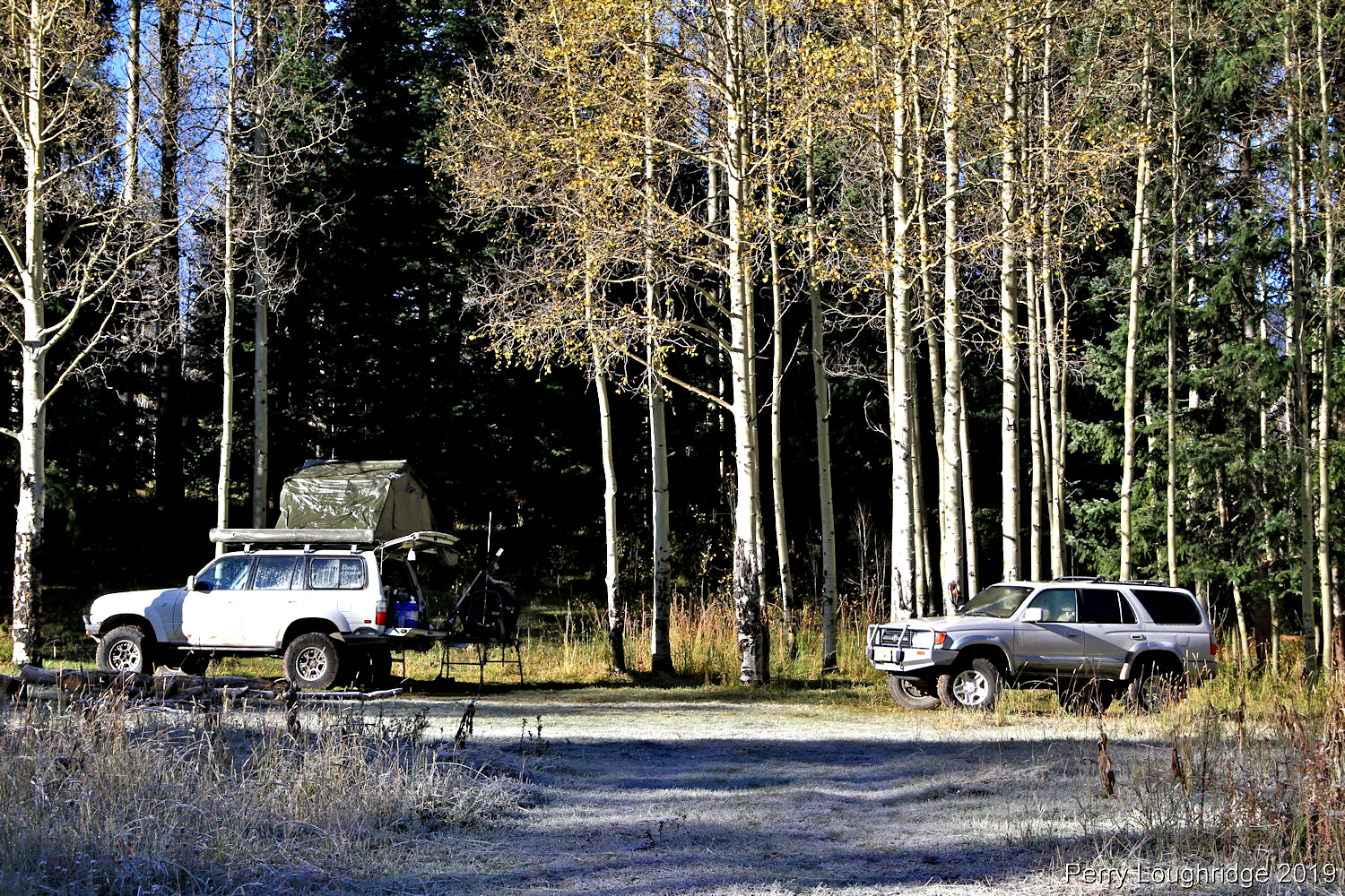
Camp as we made our way back to Denver.
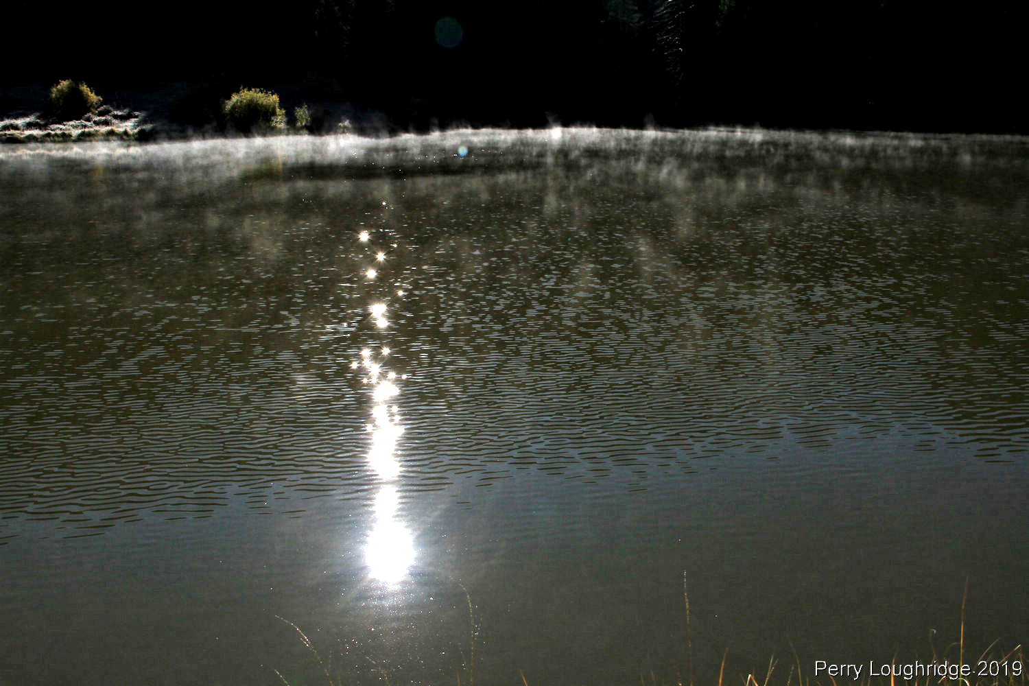
Rowdy lake.
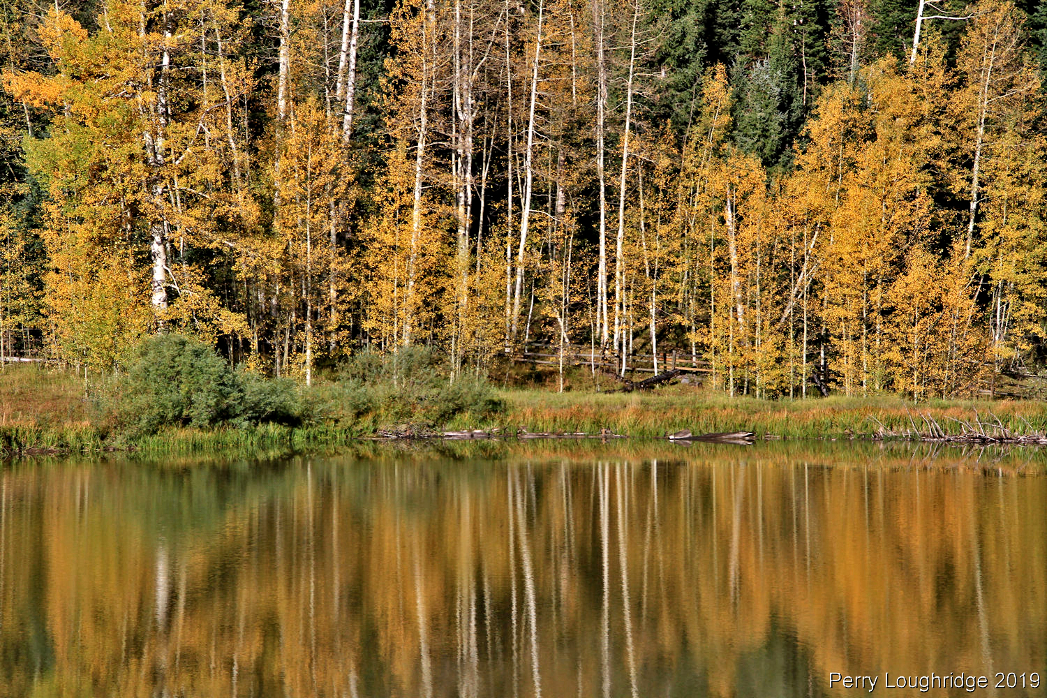
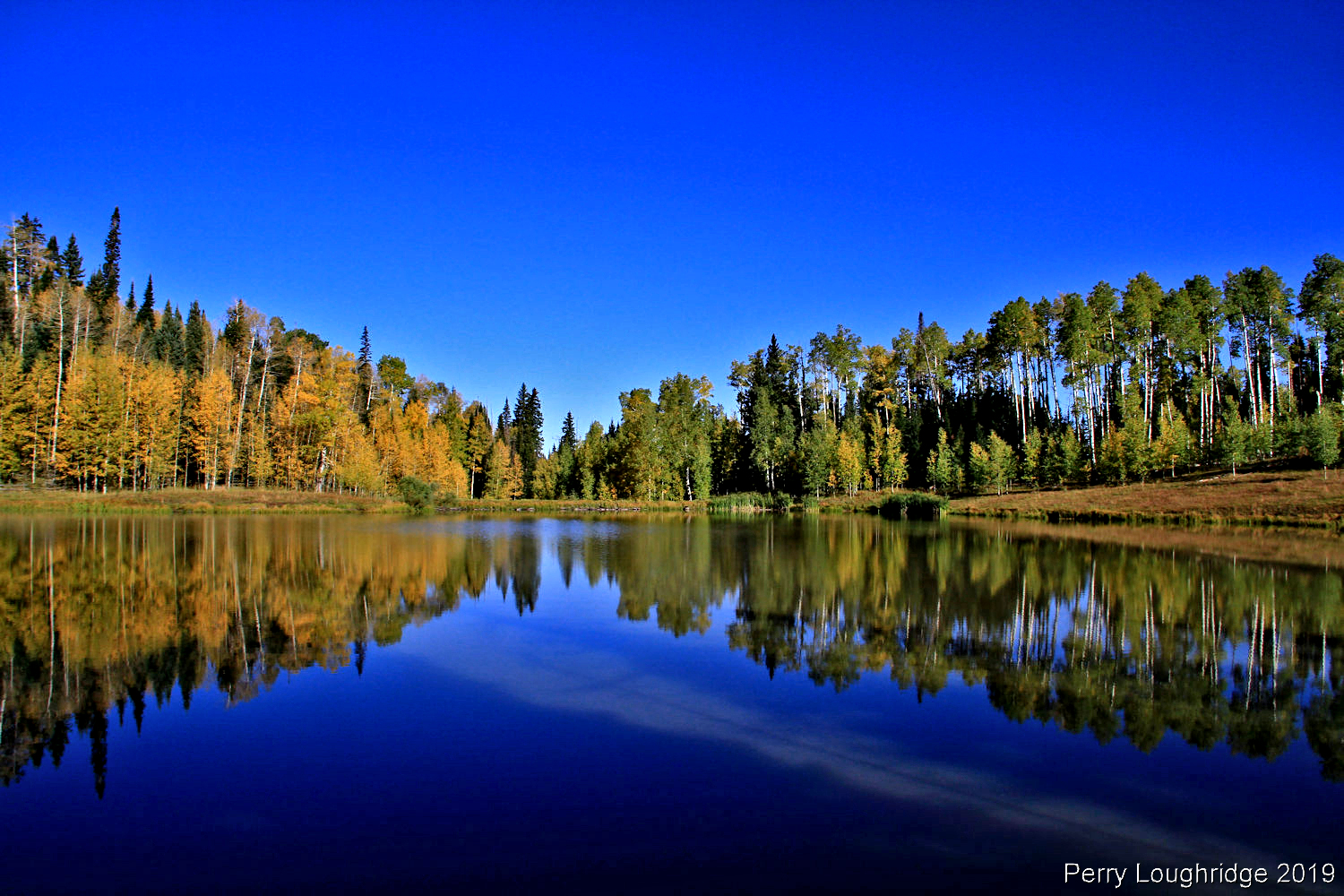
Fall colors.
Treeroot.
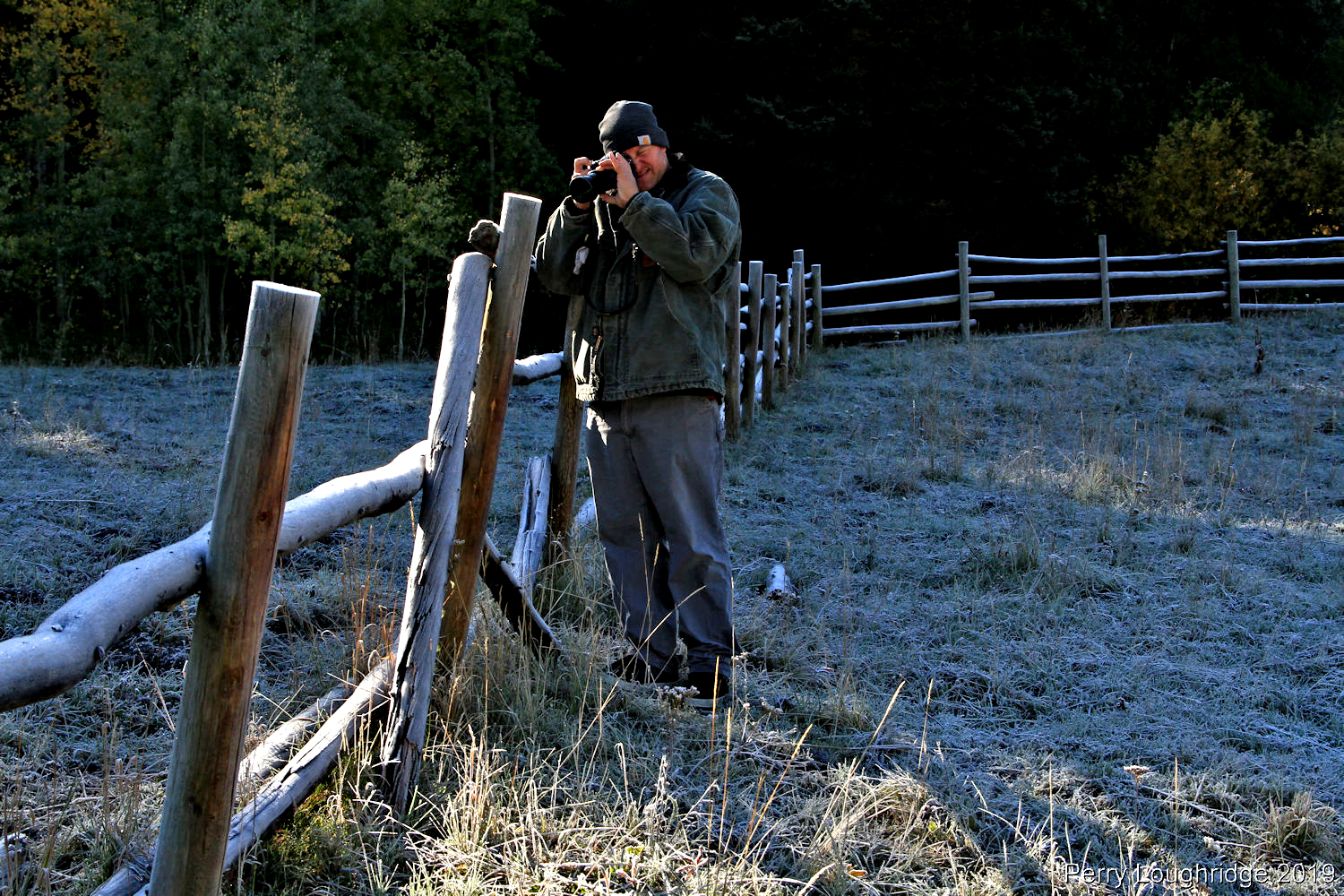
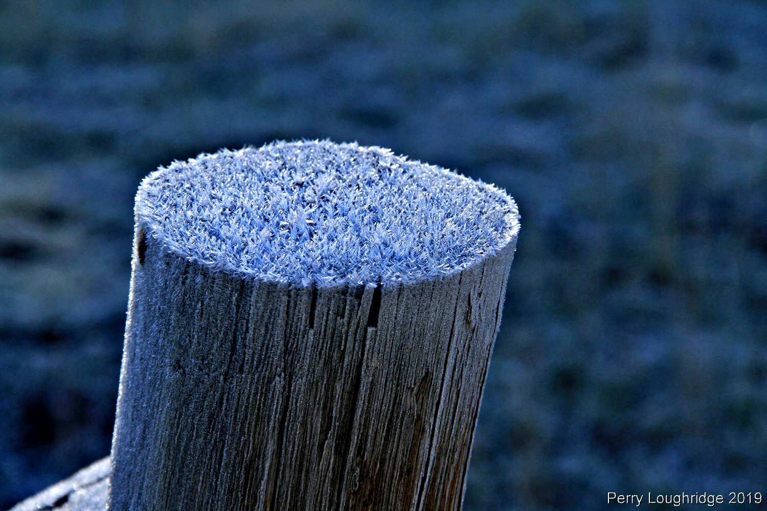
Frosty morning. Winter is coming.
Summer gives way to fall.
We drove into camp at night not knowing what to expect. As we left camp the next morning, we were greeted with these views. Cimarron Ridge in the distance.
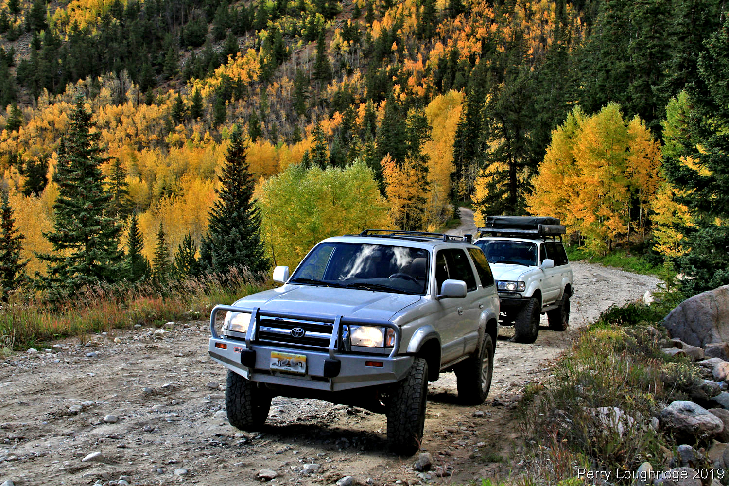
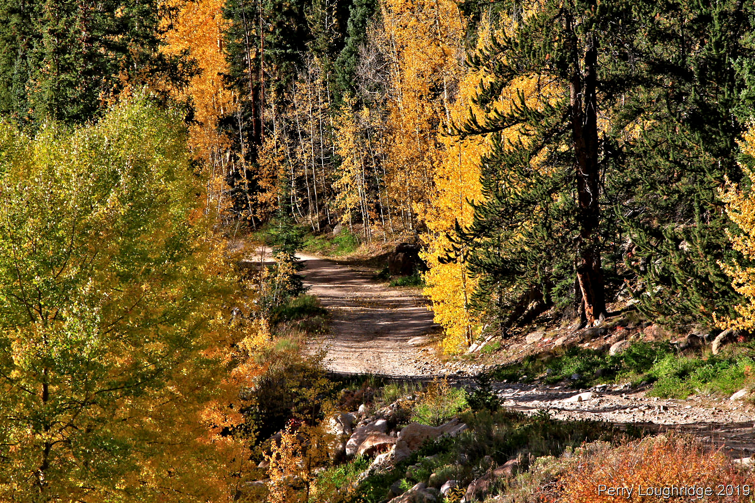
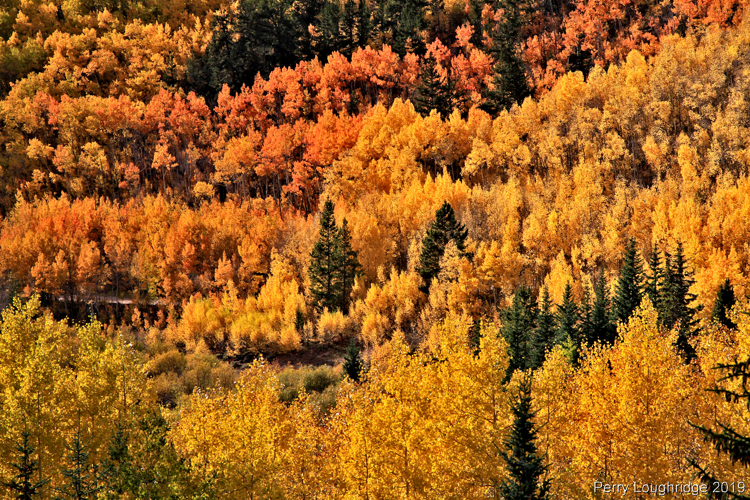
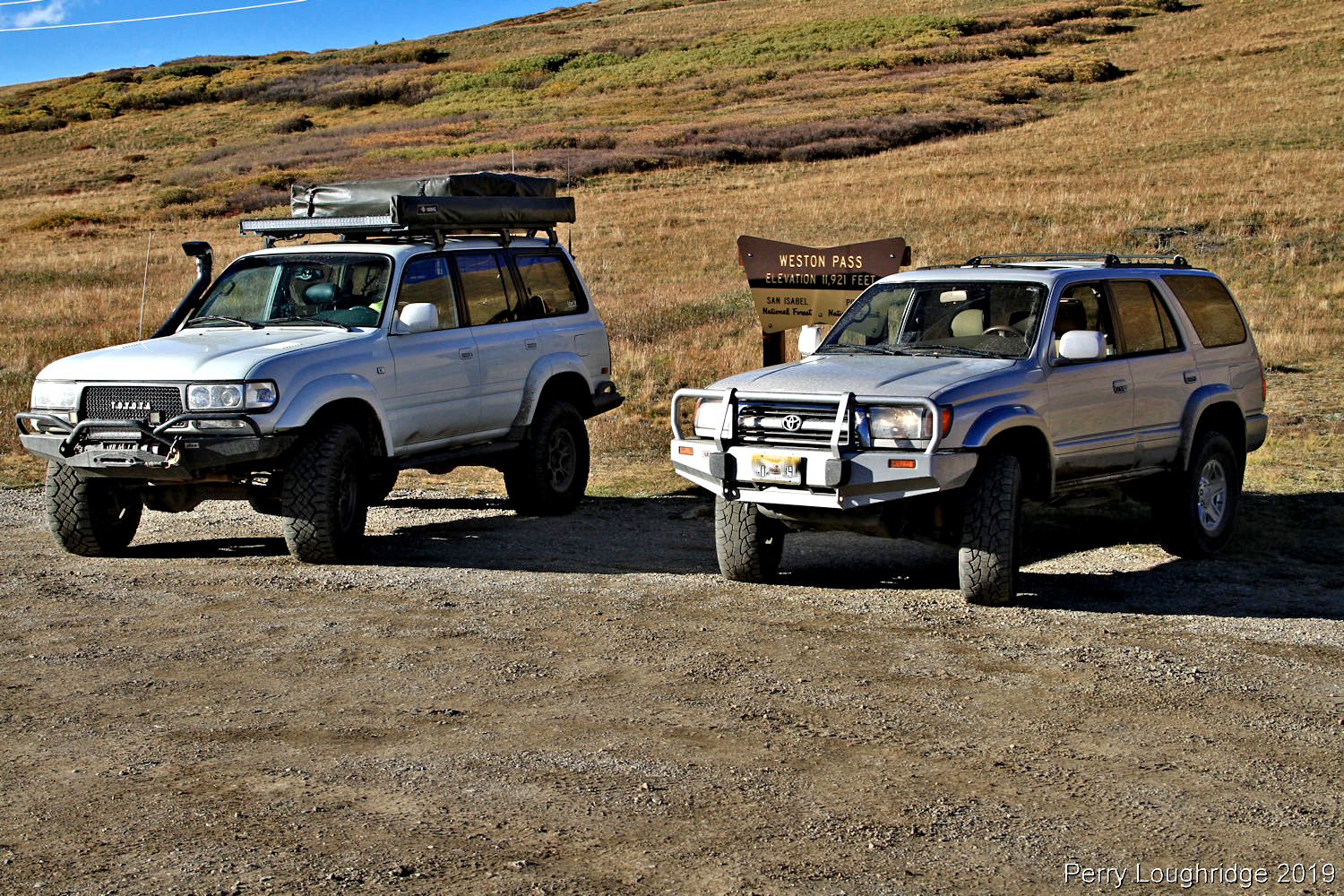
Making our climb up Weston Pass.
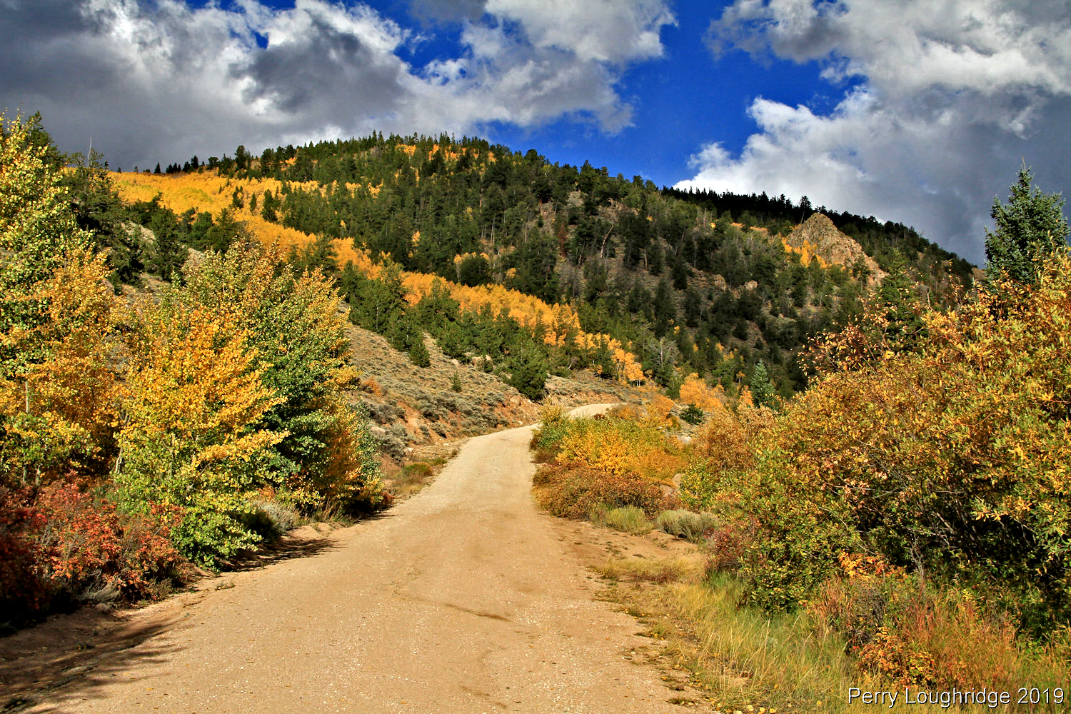
Fall time bliss. Weston Pass.
Making our way up Weston. Lots of color.
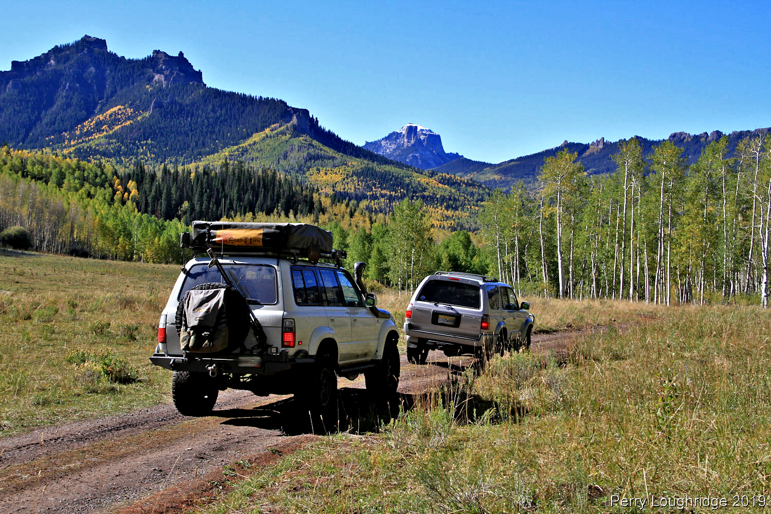
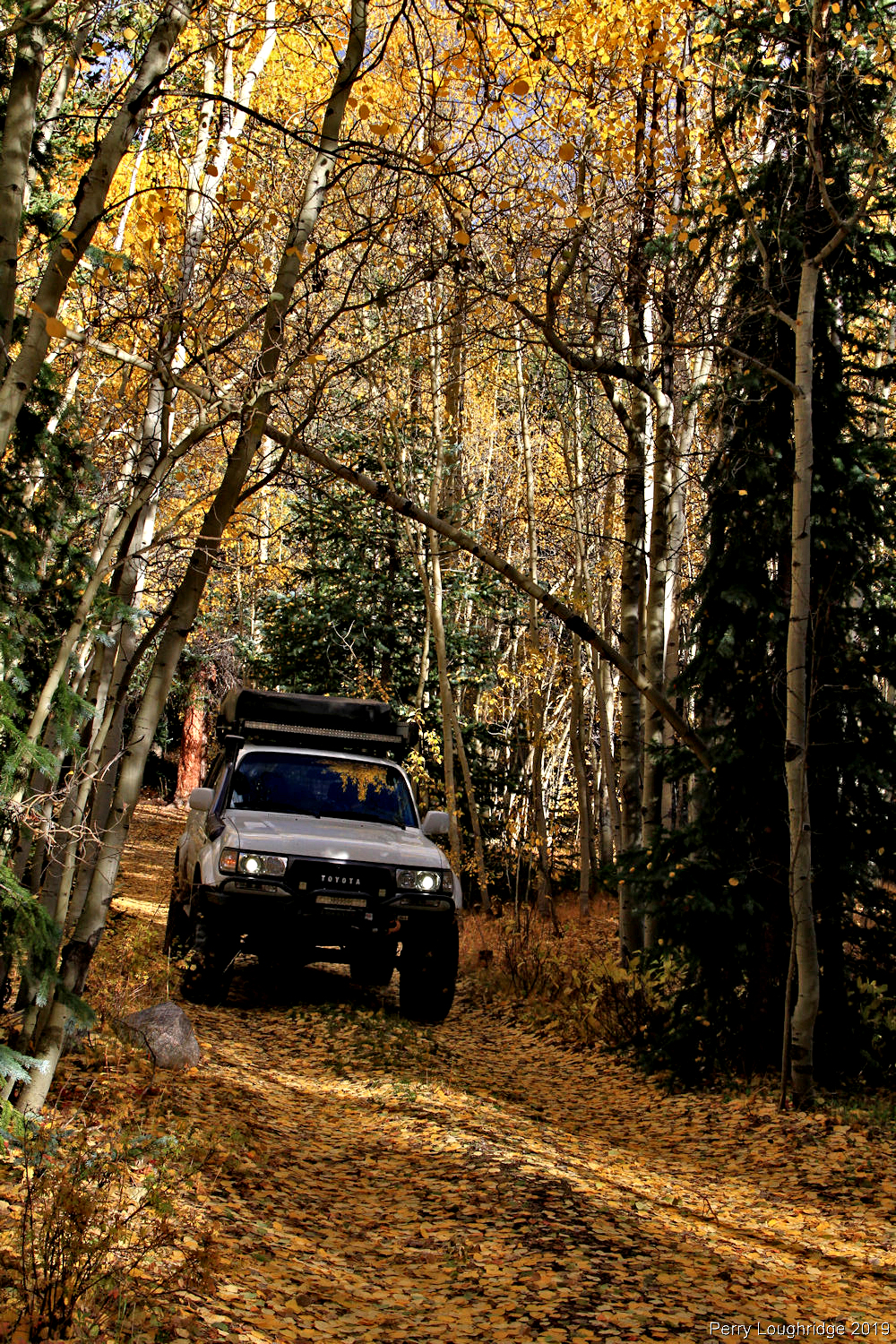
Enjoying the new ride.
Color.
Was a hard morning to get out of bed. Perfect fall weather. And out of all the travels, this is still home.
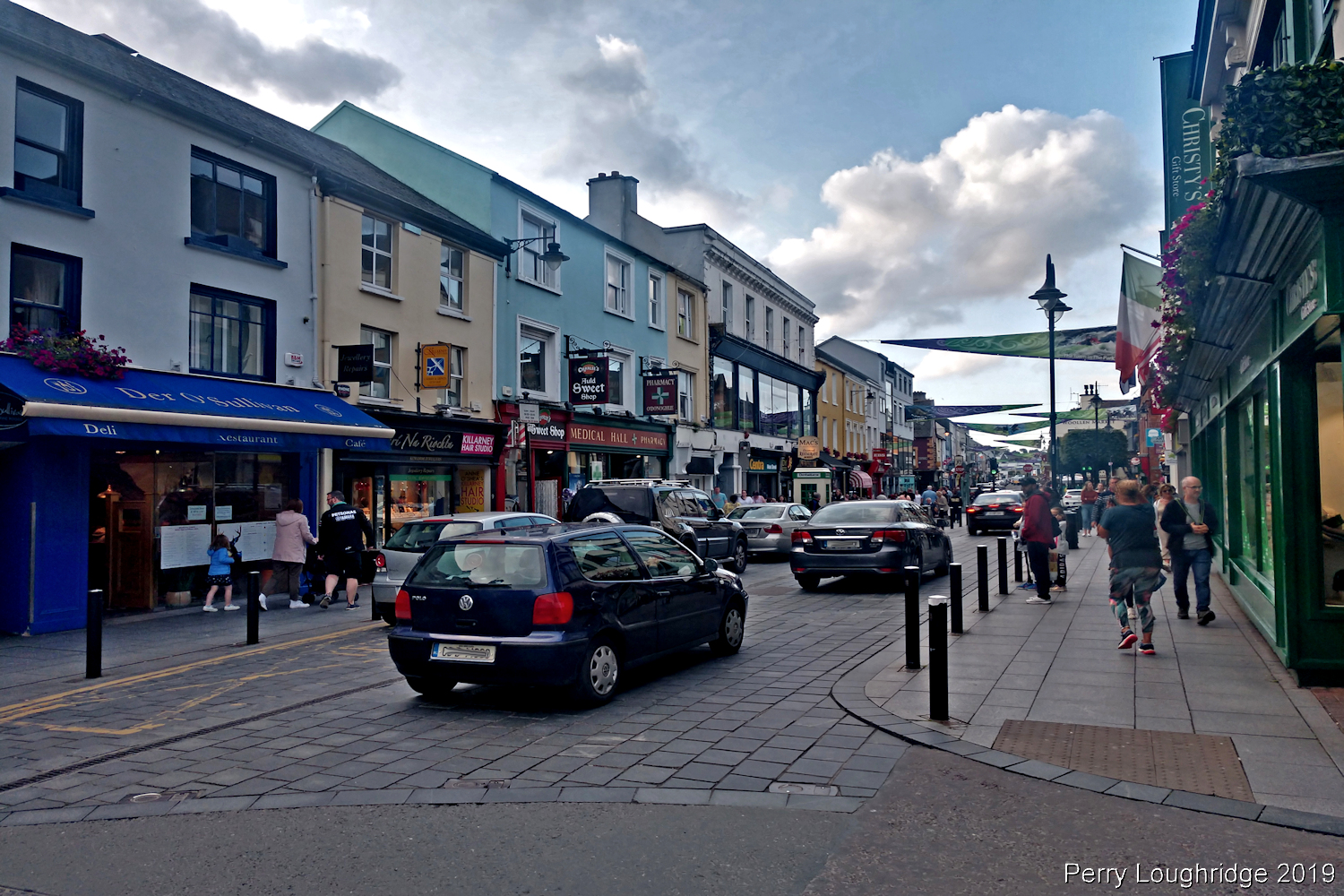
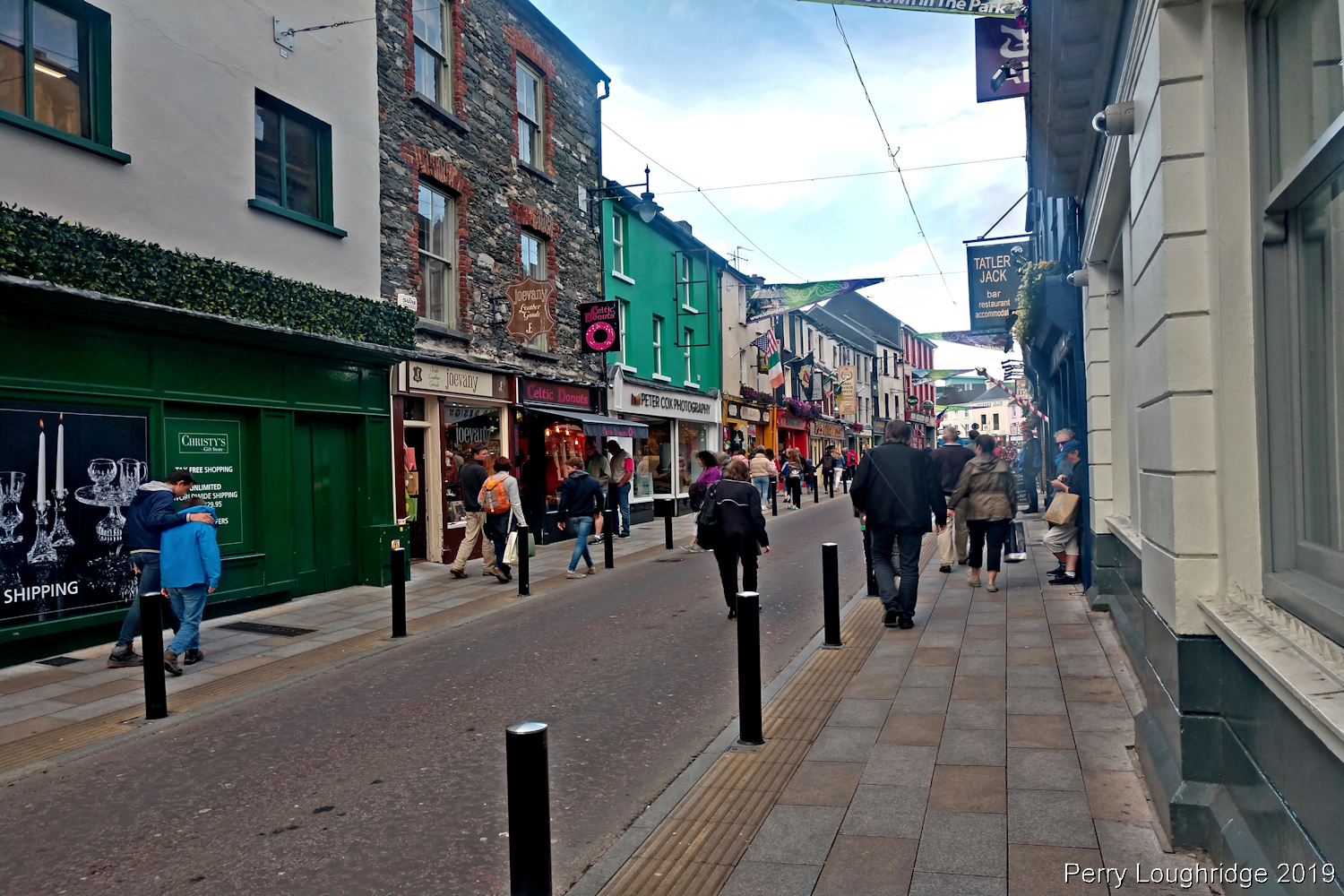
After arriving in Shannon, Ireland and picking up my rental car for the trip, I headed south to Killarney in south western Ireland. A town located on the shores of Lough Leane and Killarney National Park. I spent my first two nights in Killarney. It was great to be back, having spent a bit of time here during my first visit to Ireland in ’06/’07, including the Christmas holiday.
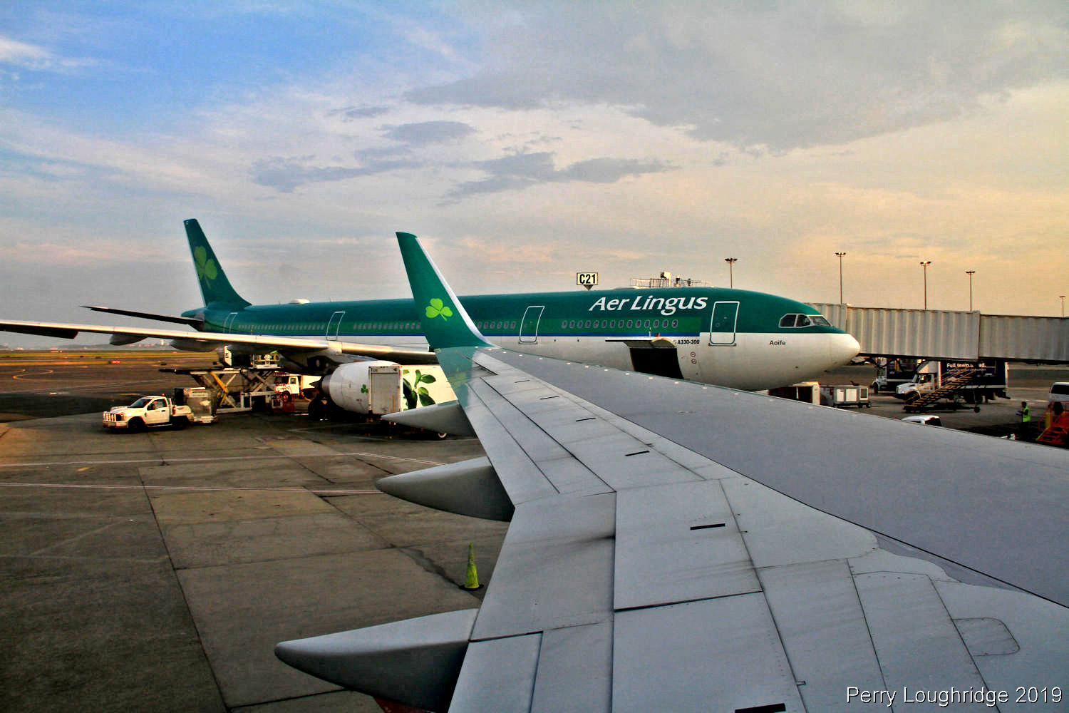
Getting ready to taxi and take off from Boston International to Shannon Ireland. From Shannon Airport, it’s a 2hr drive down to Killarney, Co Kerry.
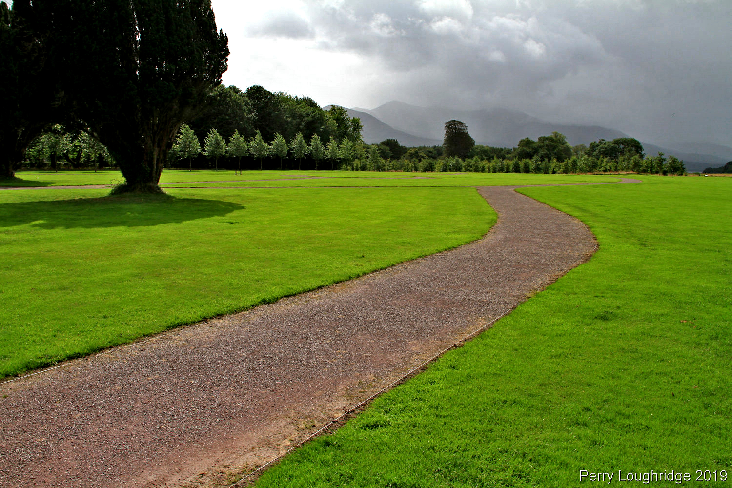
After getting checked into the Railway Hostel, and some rest, I set out to get re acquainted with Killarney and the surrounding park. It was an enjoyable afternoon to stretch legs after a long flight.
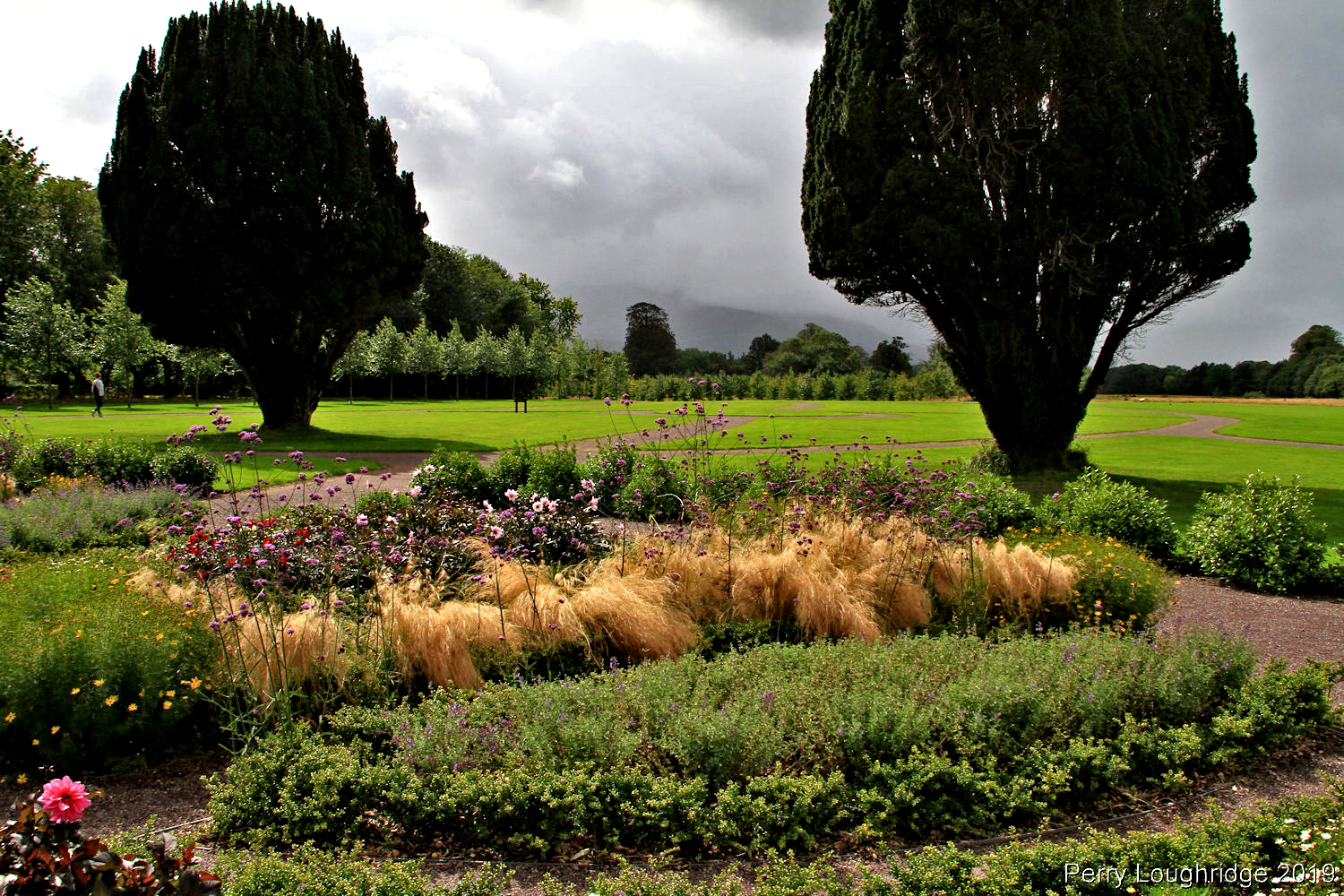
The gardens of the Killarney house.
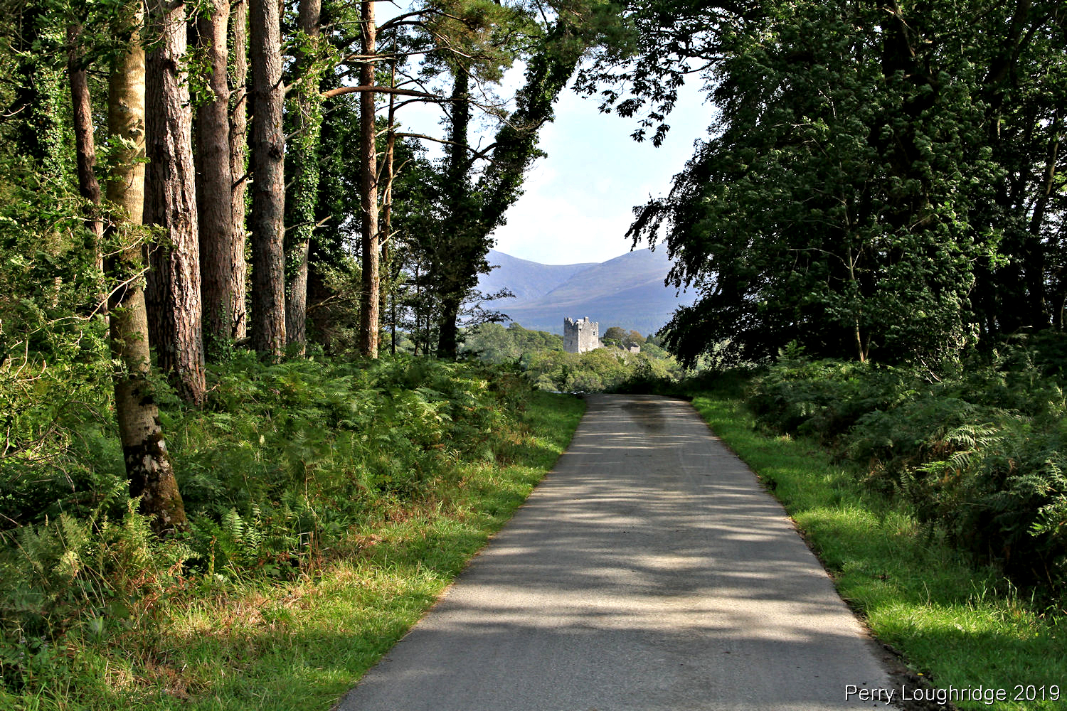
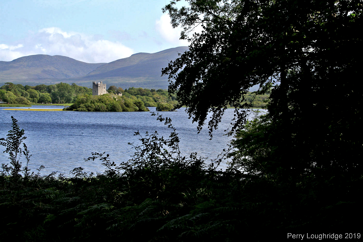
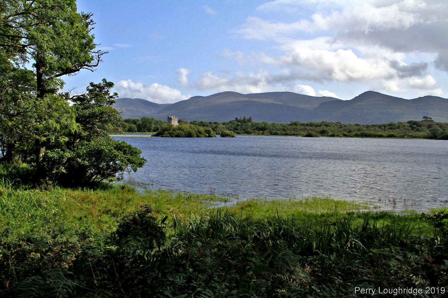
Walking along the river walk towards Lough Leane and Ross Castle.
First views of the Macgillycuddy’s Reeks.
First views of Lough Leane.
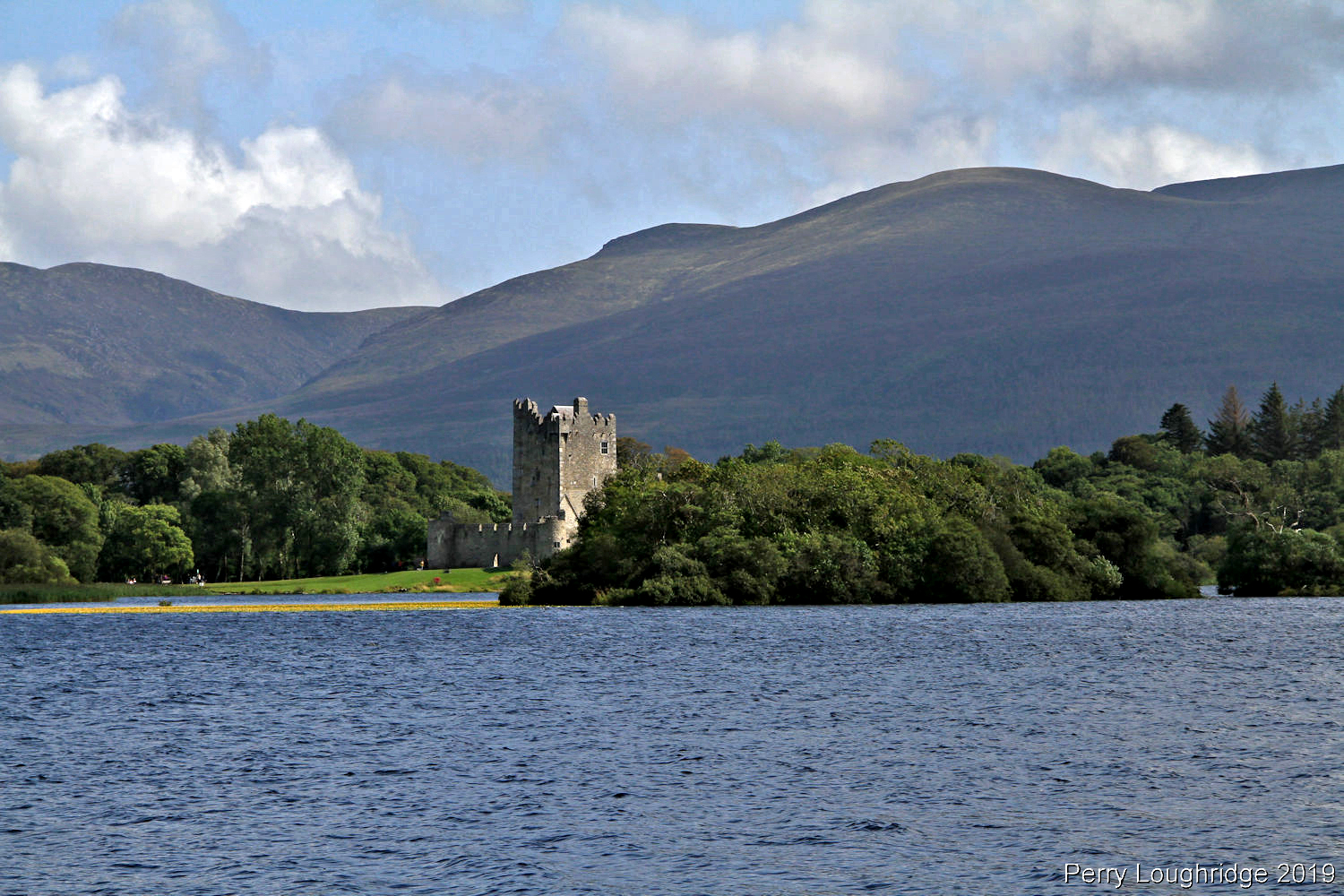
Ross Castle. A 15th century castle built on the shores of Lough Leane.
Didn’t quite make it to Ross Castle during my walk.
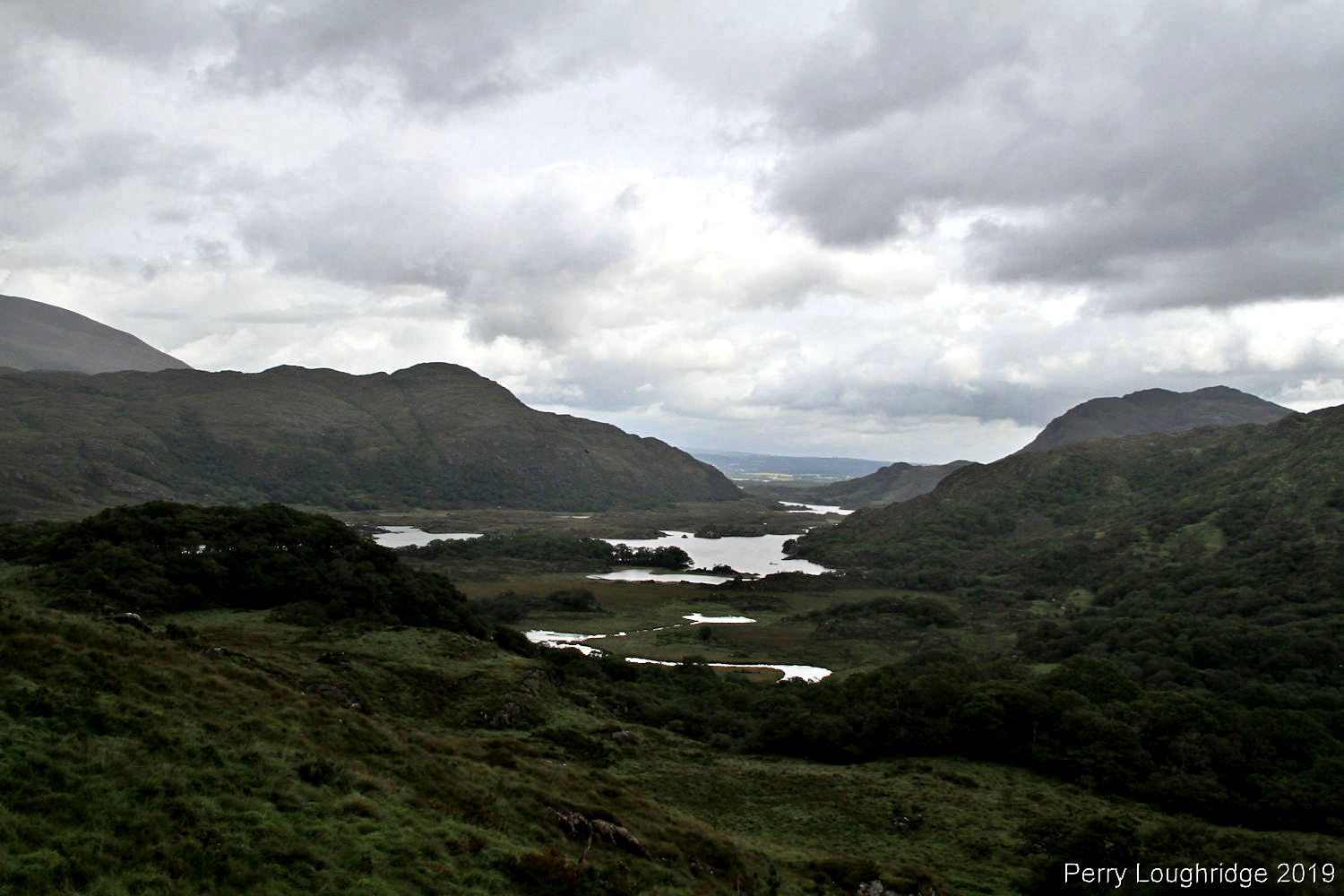
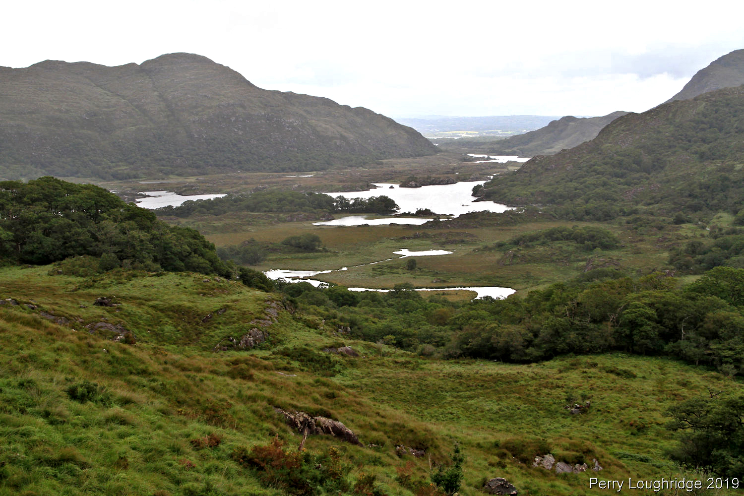
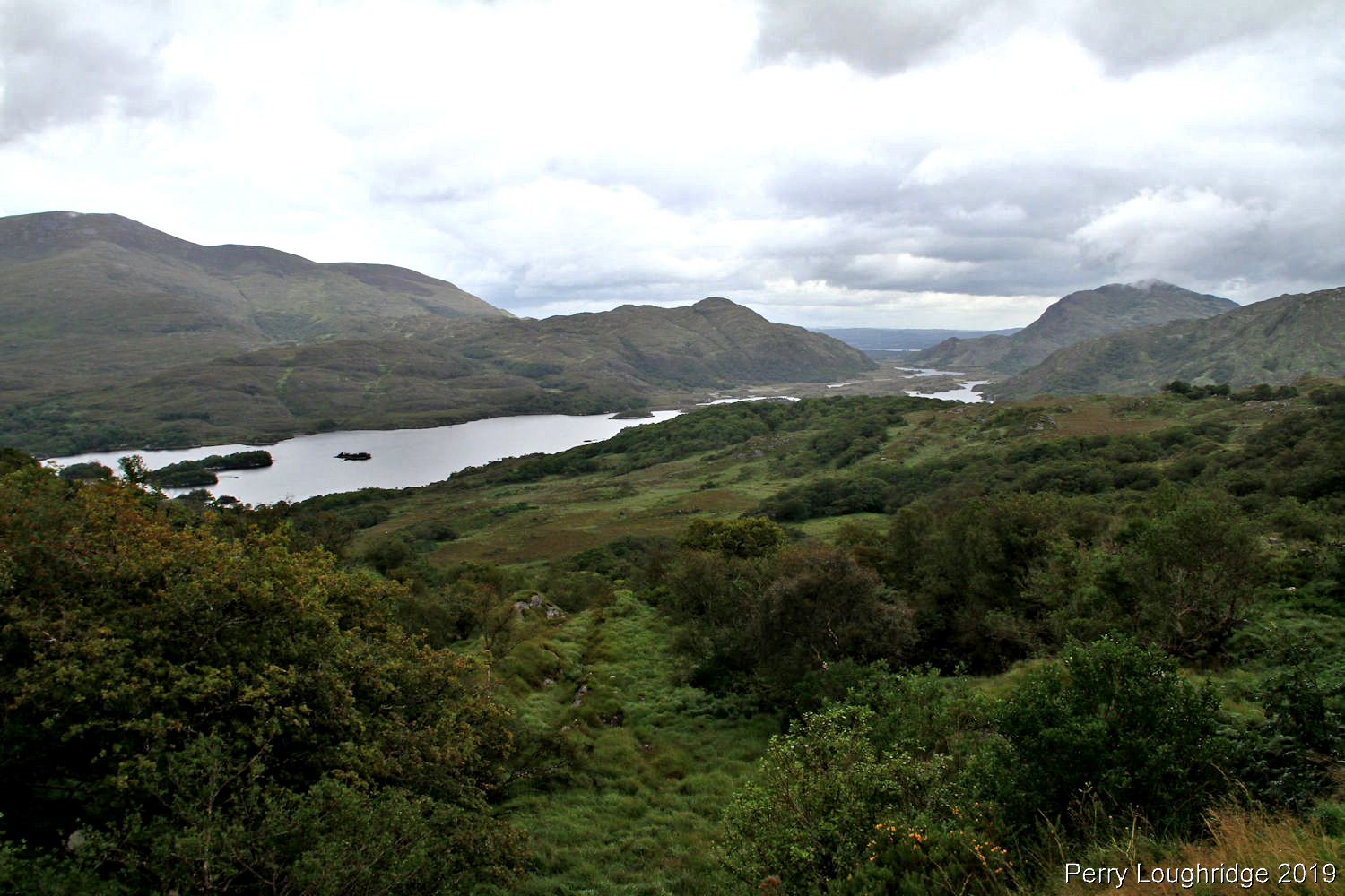
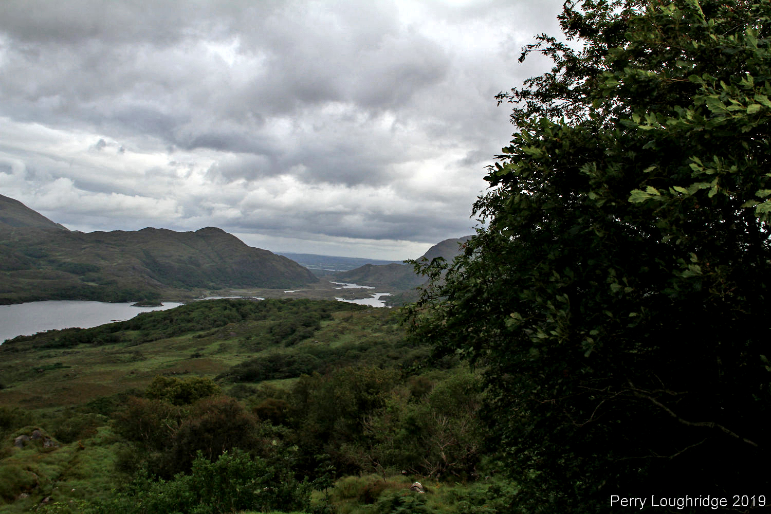
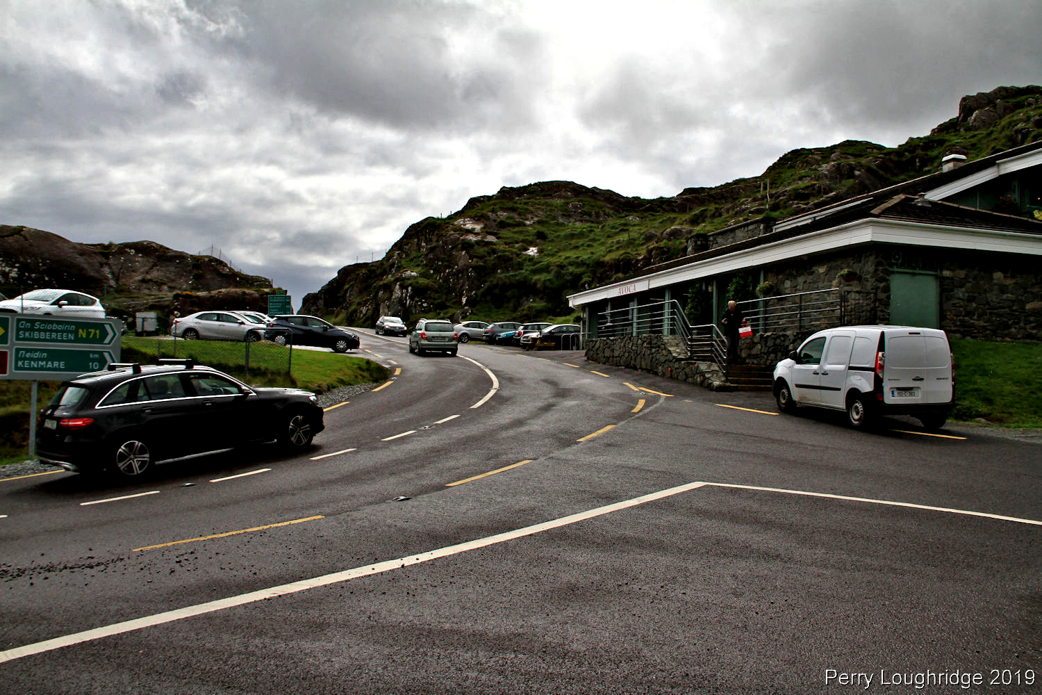
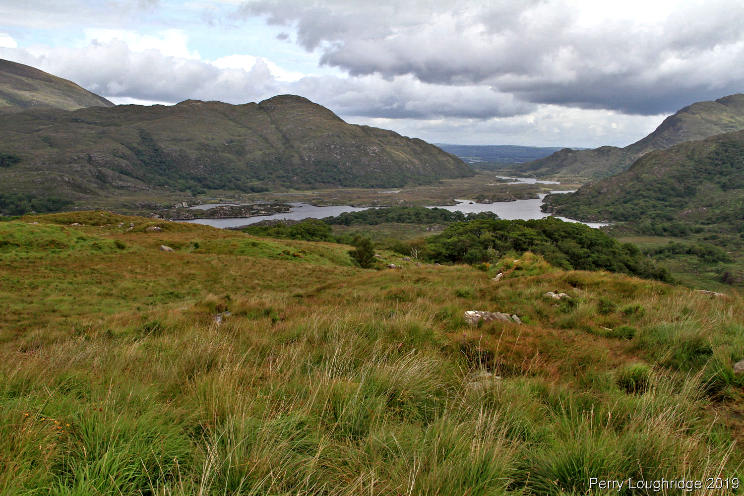
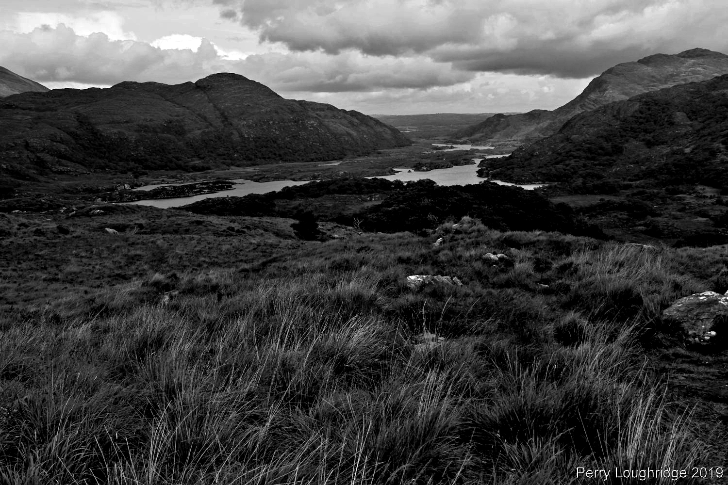
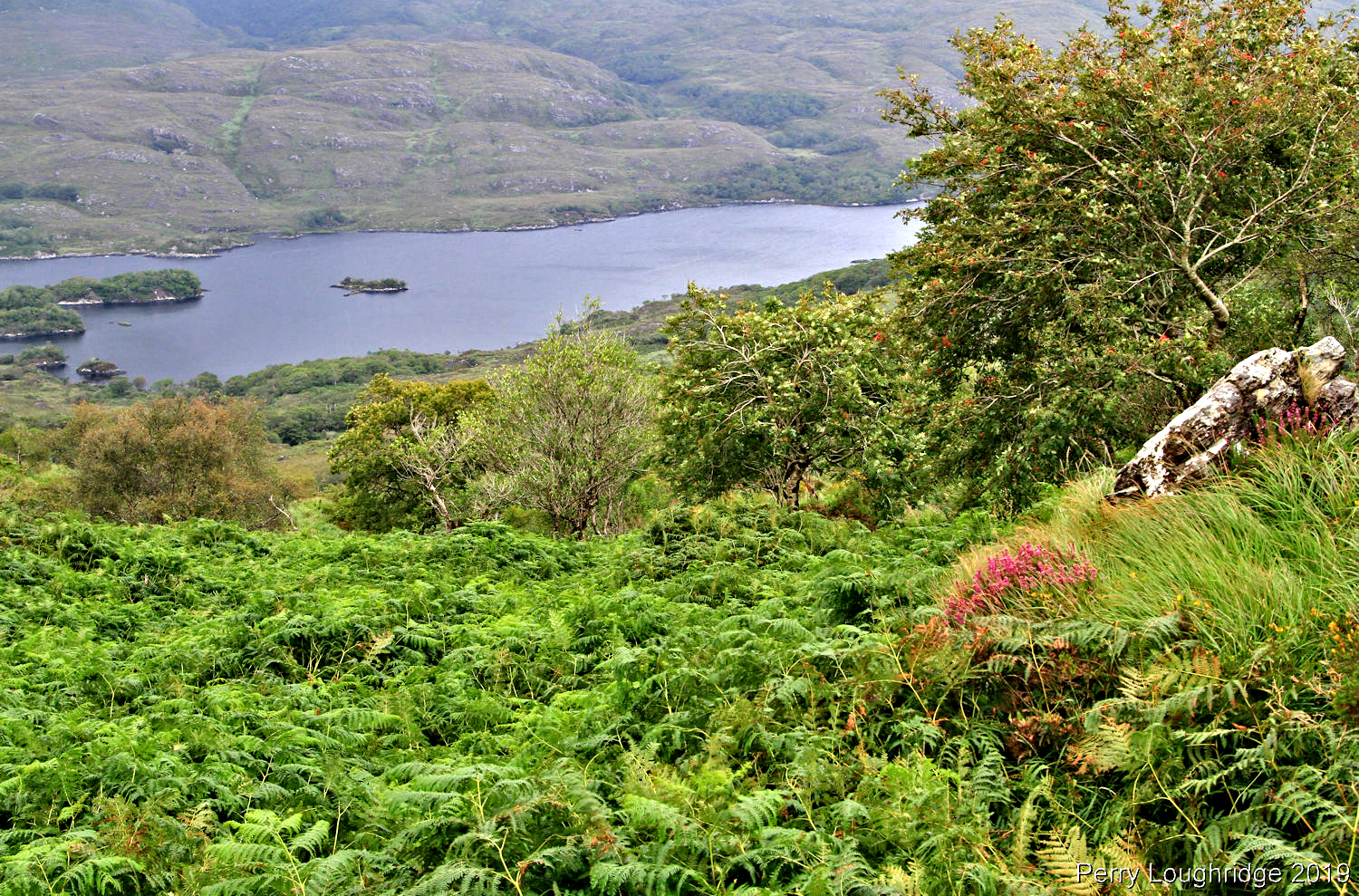
For my first full day I took a drive up to Molls Gap, a mountain pass along the N71/Ring of Kerry Route. Along the way I stopped a few times to take in the views of the Upper Loughs of Killarney National Park.
Lower section of “Upper Lough”.
Located in CO, Kerry, Ireland, Killarney National Park was the first National Park in Ireland. Created in 1932, when the Muckross Estate was donated to the Irish Free State. The park currently covers 25, 425 acres.
Took a short walk along the “Ring of Kerry” hiking trail.
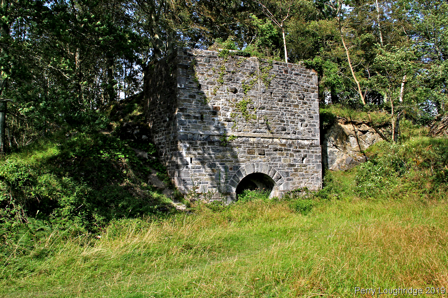
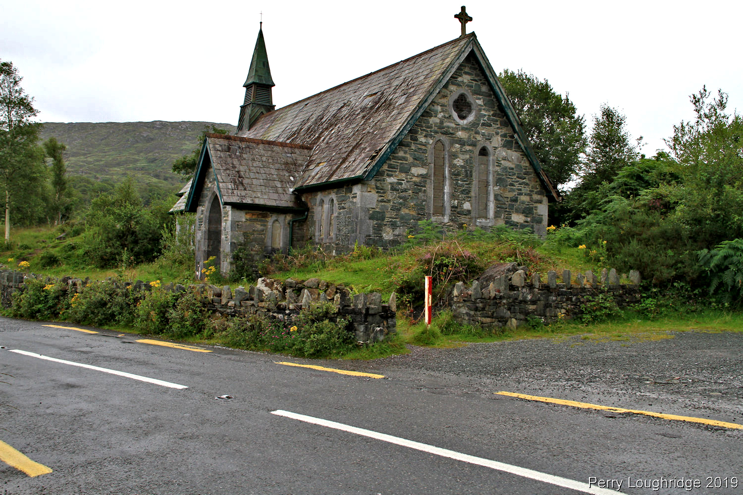
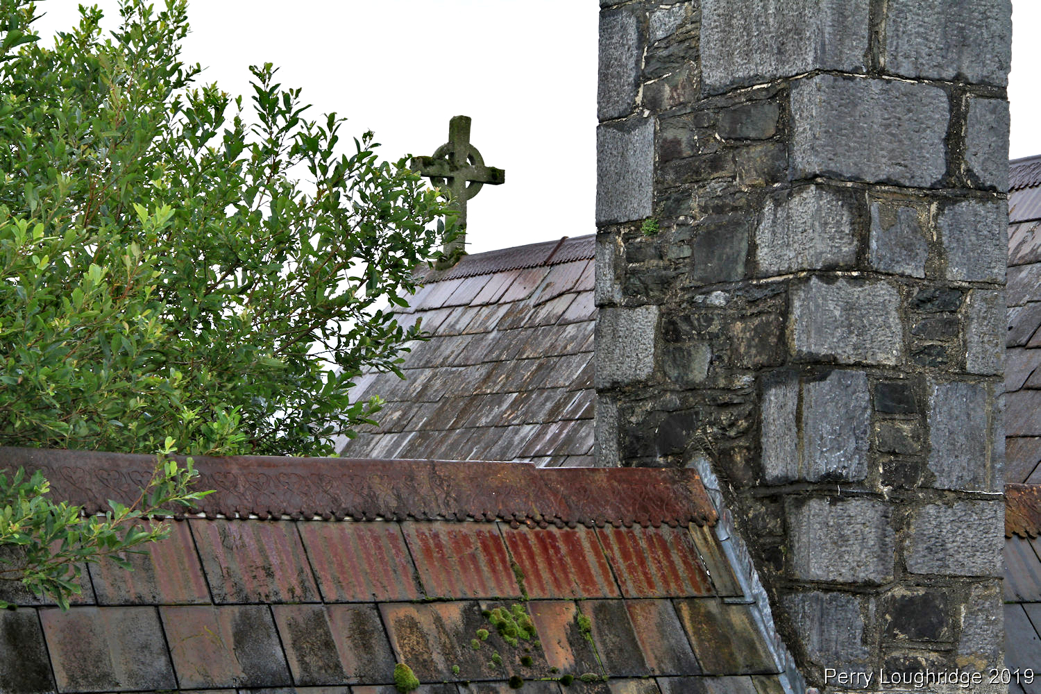
Old church.
“Ladies view”. So named for the admiration for the view given by Queen Victoria’s Ladies in Waiting during the Queens visit to Ireland in 1861.
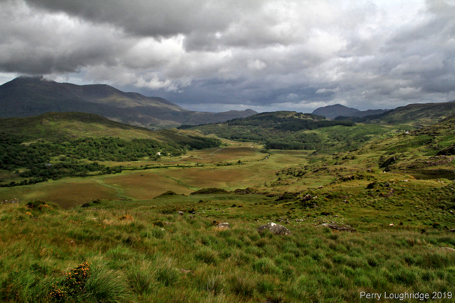
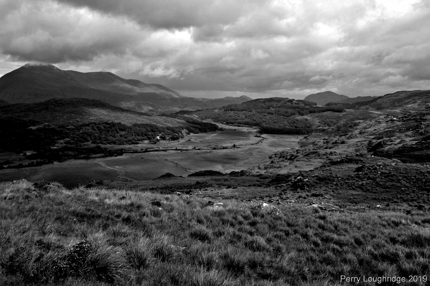
Views from Molls Gap.
Checking out the route i’d soon be taking to get to Black Valley.
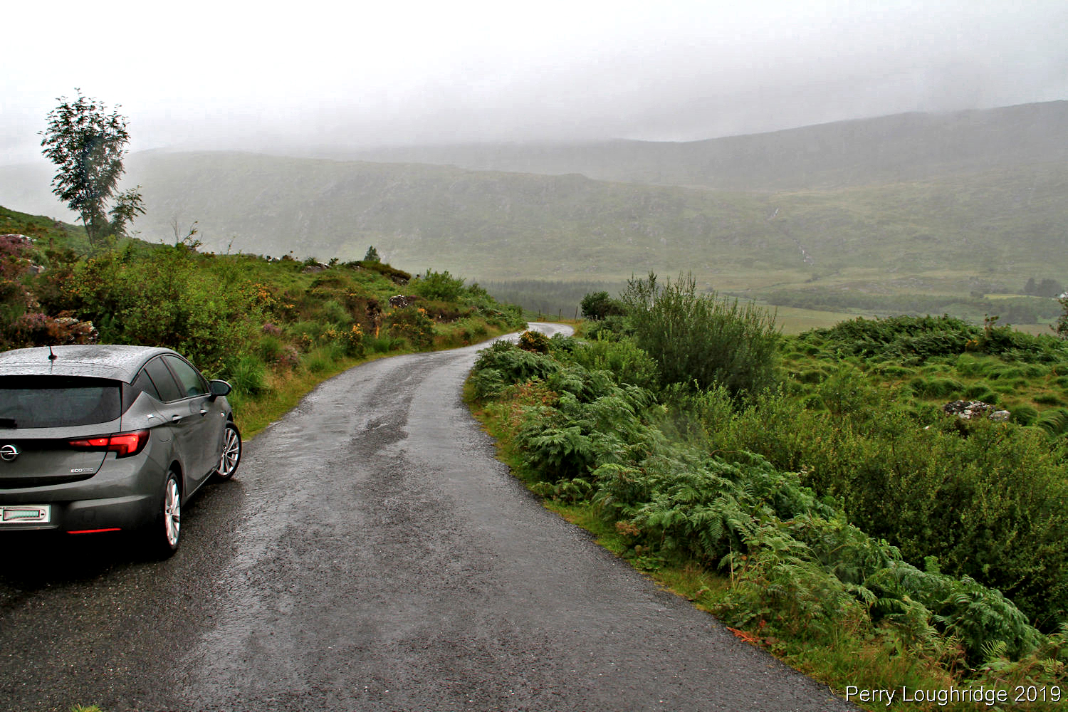
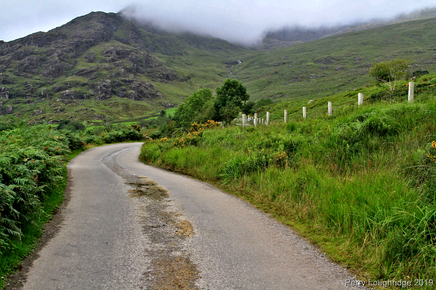
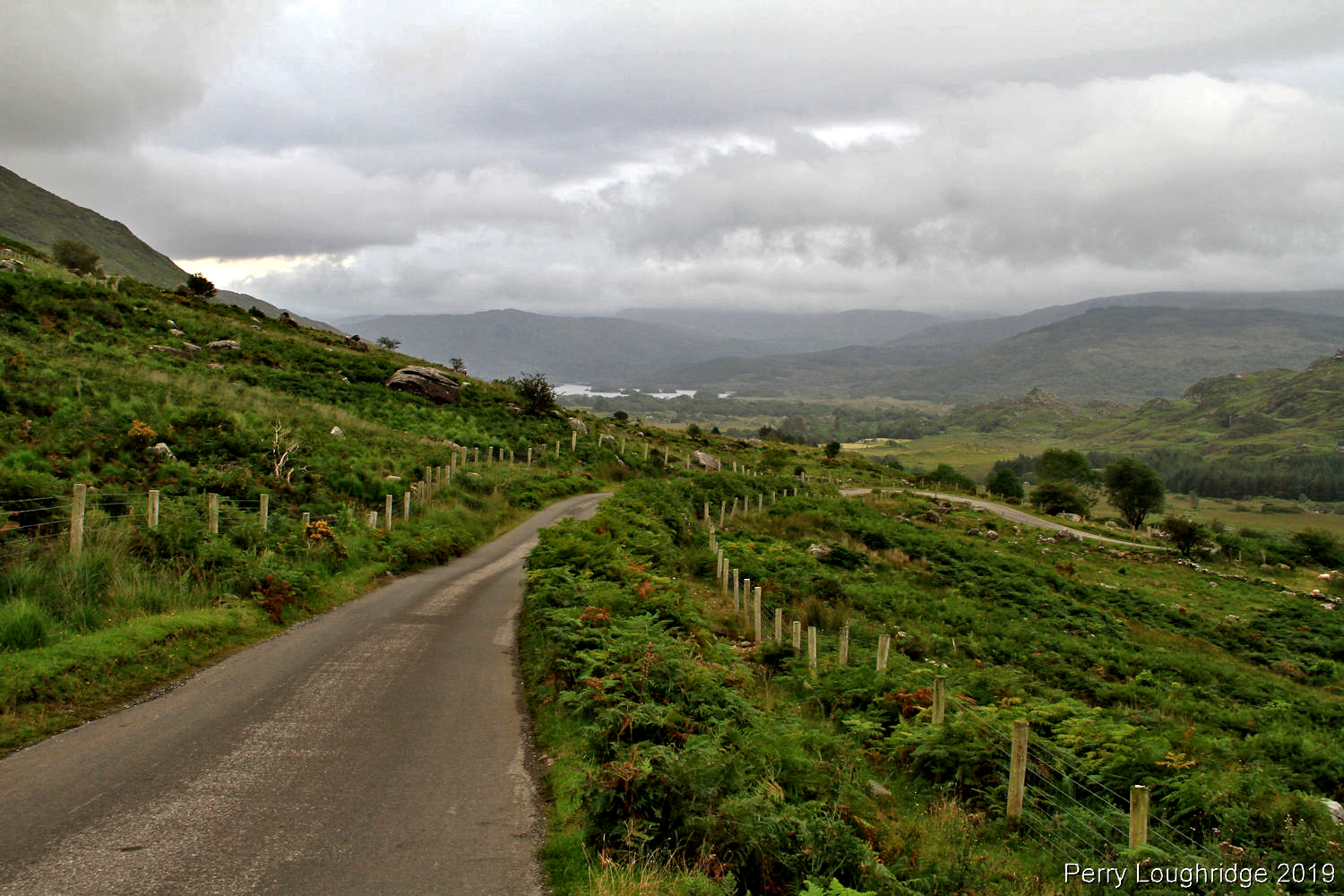
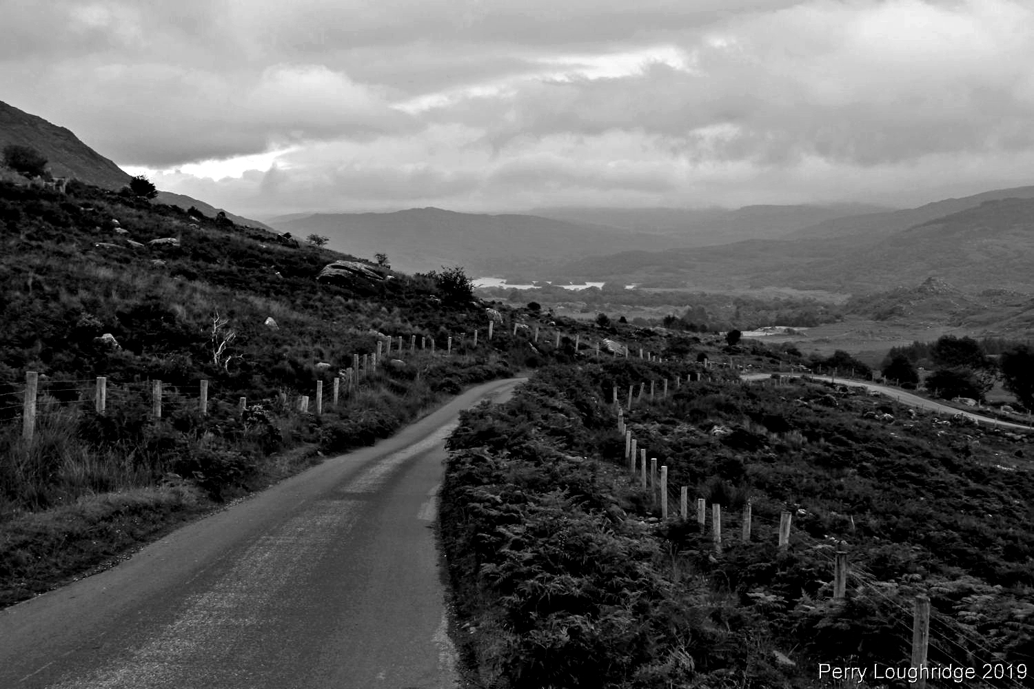
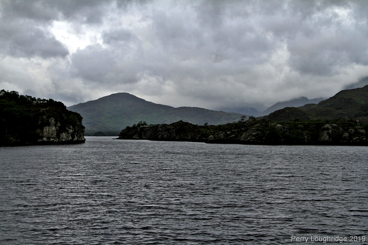
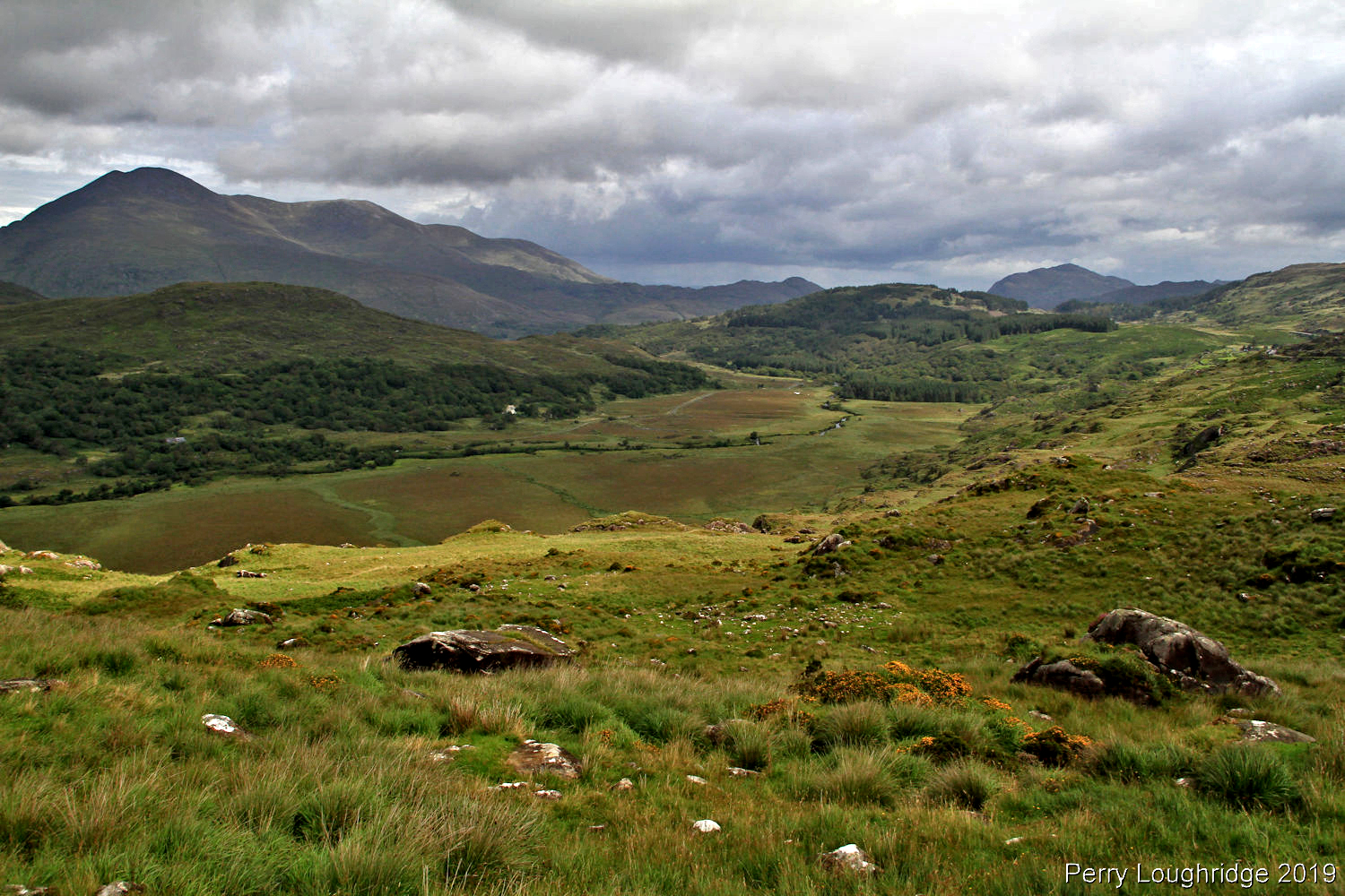
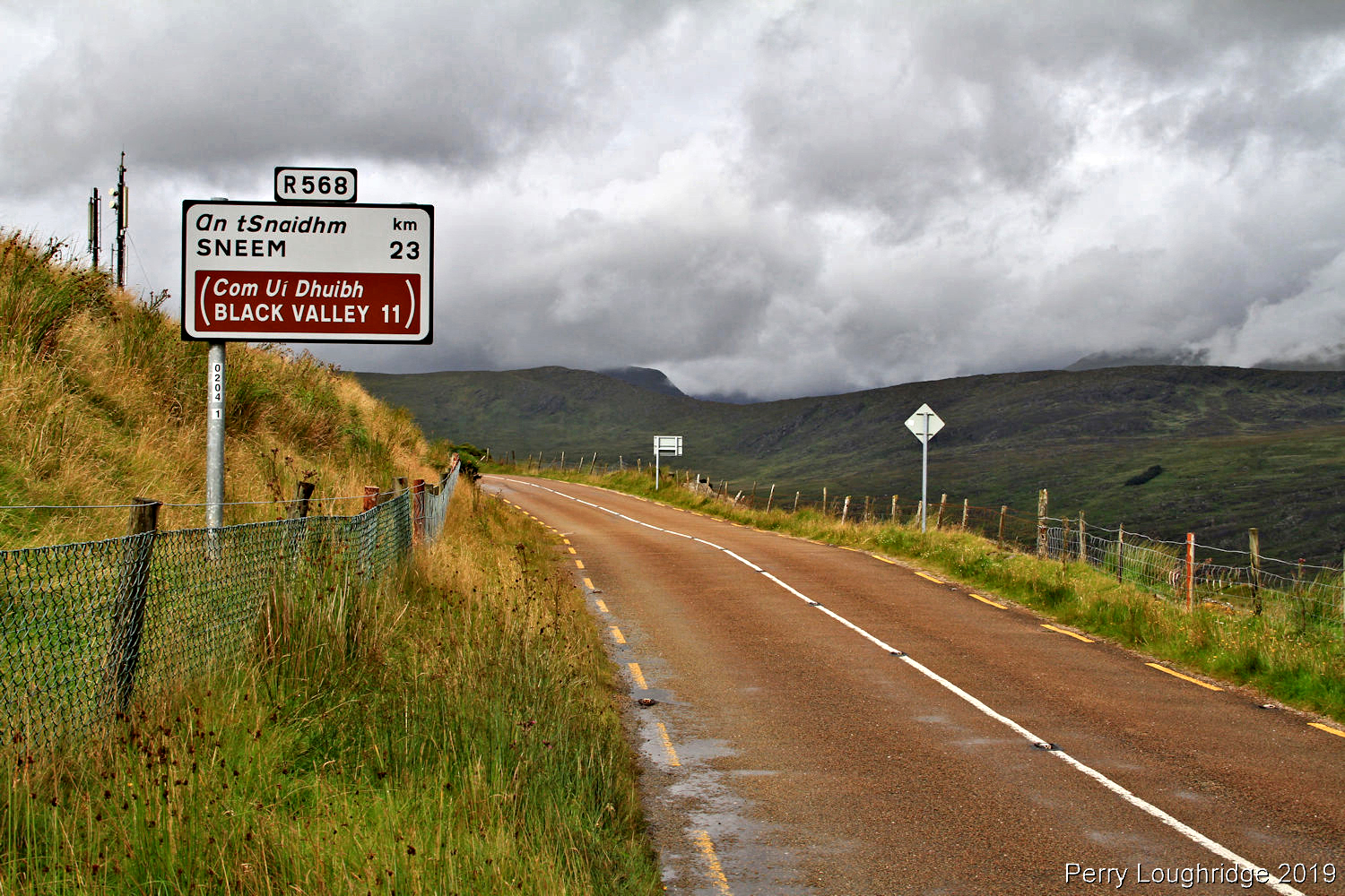
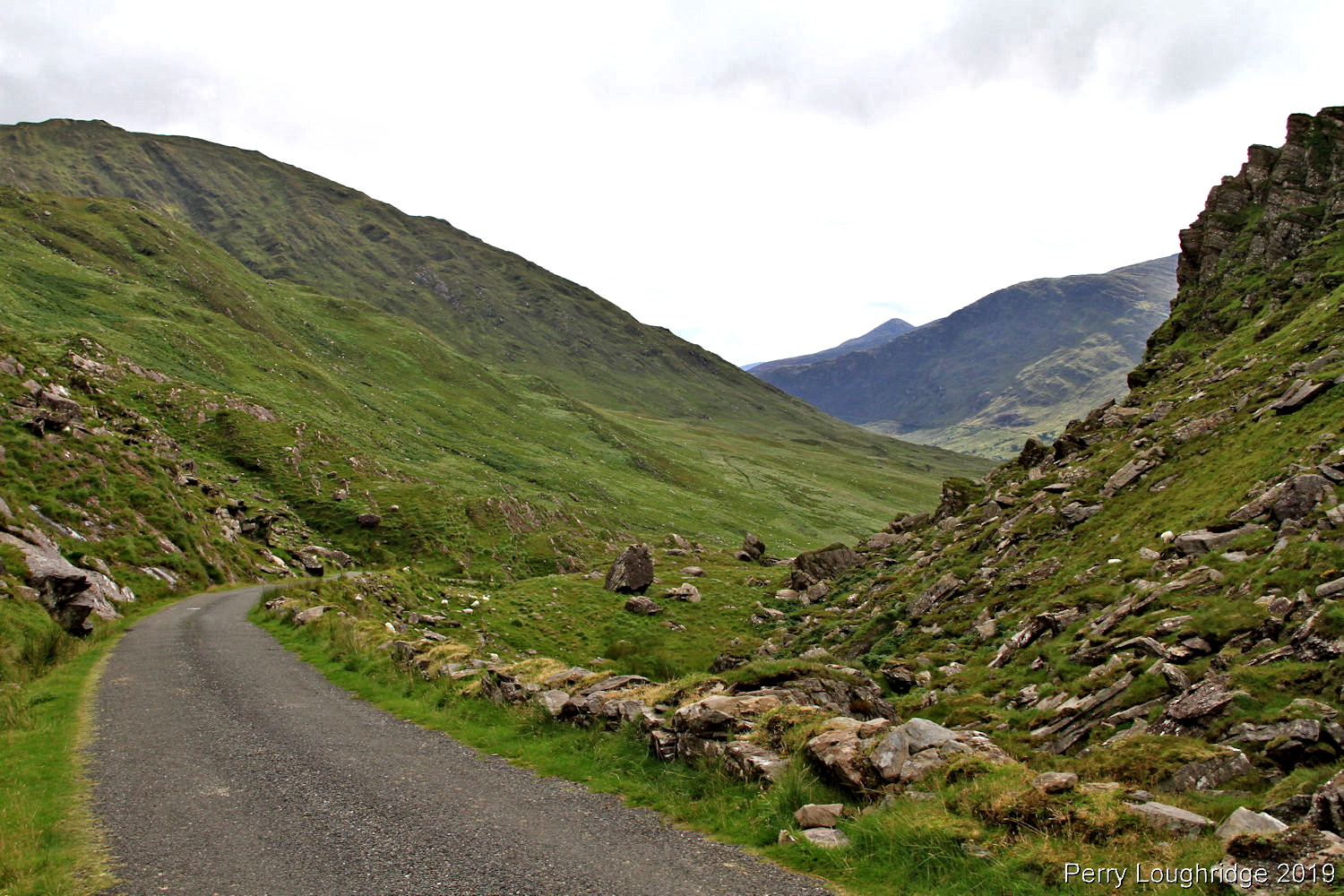
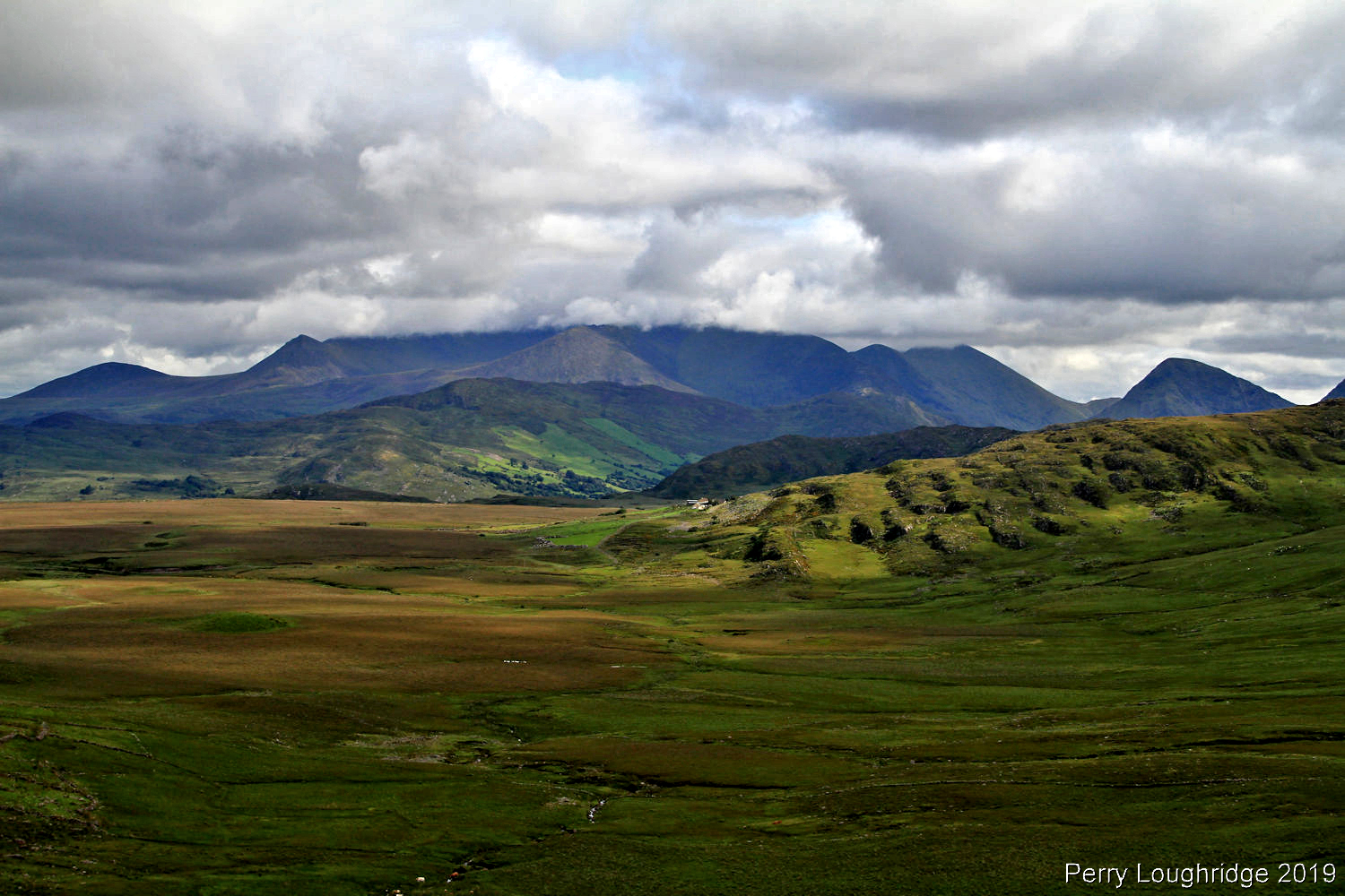
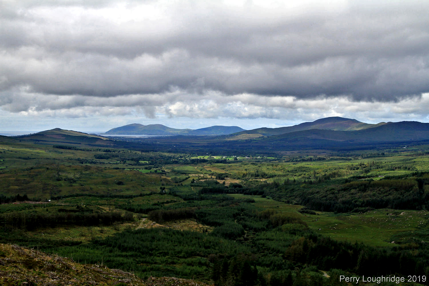
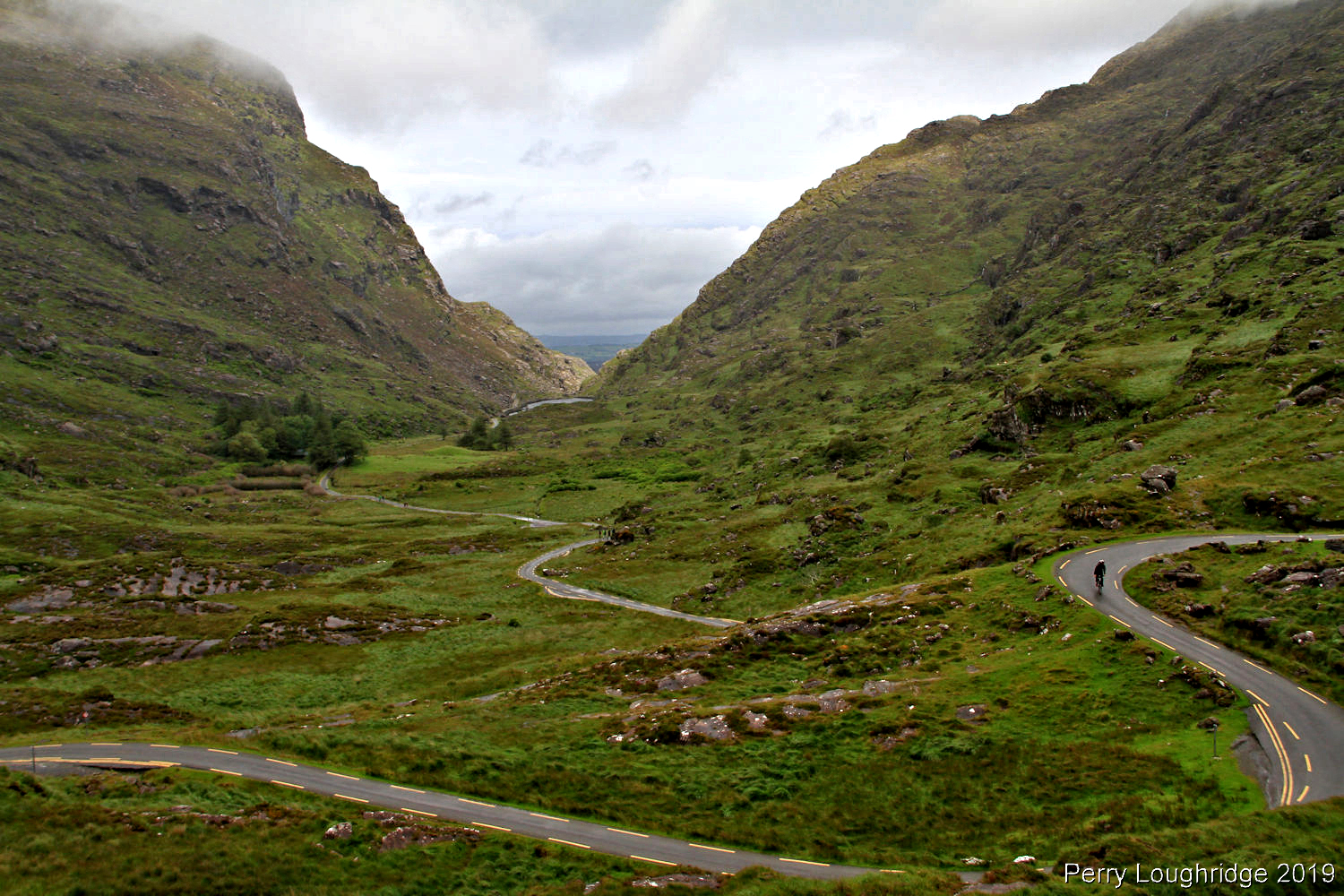
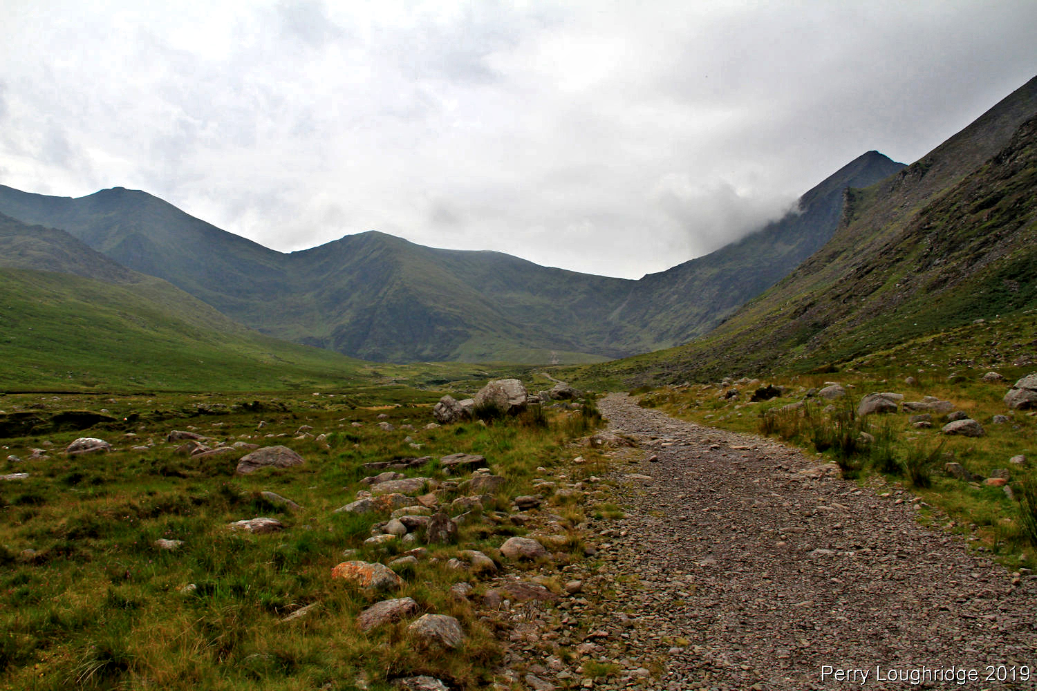
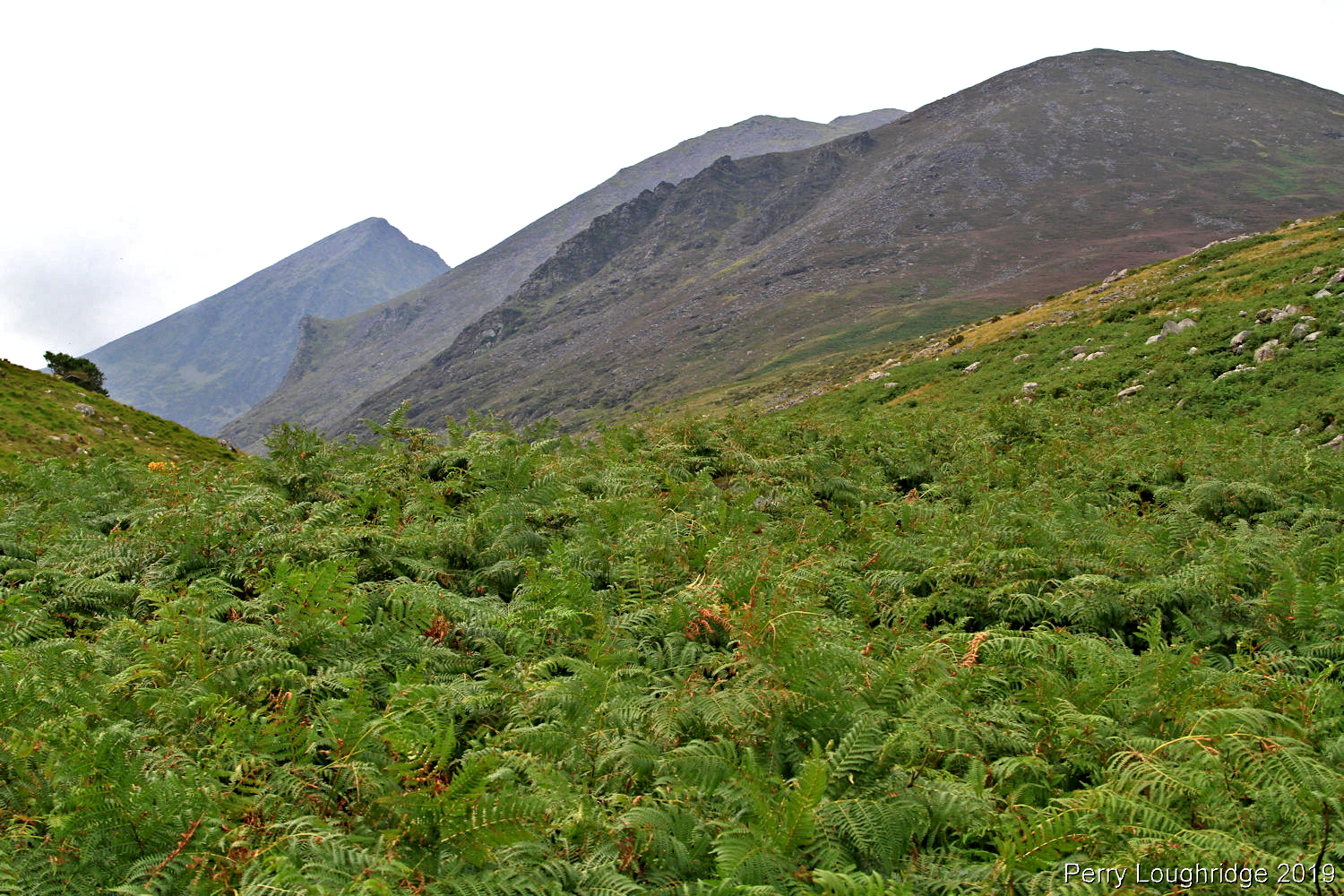
After an enjoyable few days in the Black Valley, I left the hostel and headed west through the interior mountains of Kerry. The drive was most enjoyable. So much that I wish I had my 4runner for it instead of the rental car. It took me most of the day to get from Black Valley to Waterville, making my way through the mountains. A most enjoyable day.
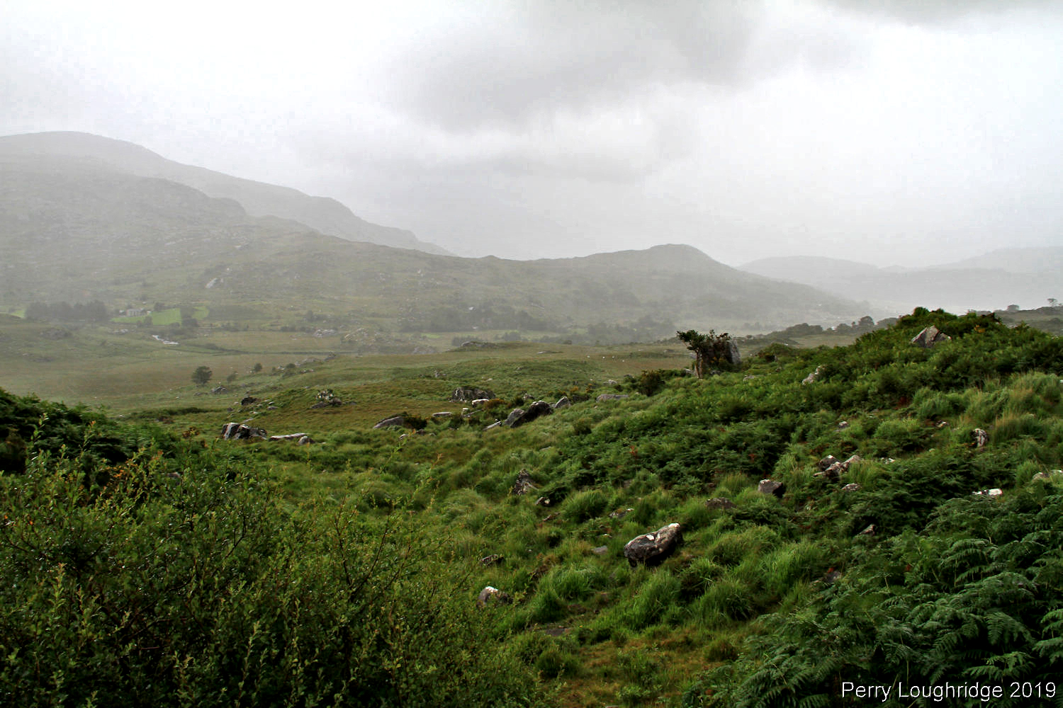
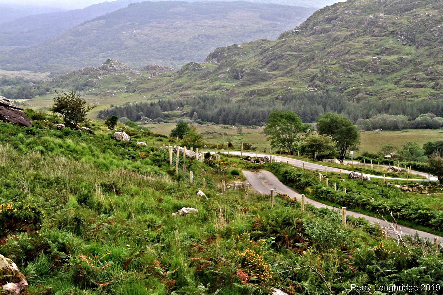
After leaving the road from Black Valley, I started the climb up to Top Cross. The oldness that can be found in Ireland is just awesome.
Almost to the top of Top Cross. A fantastic drive.
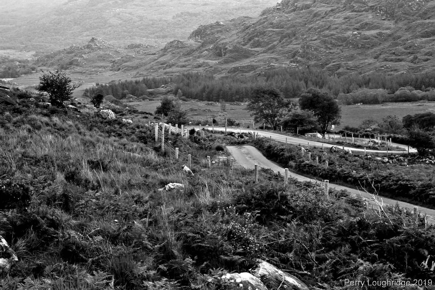
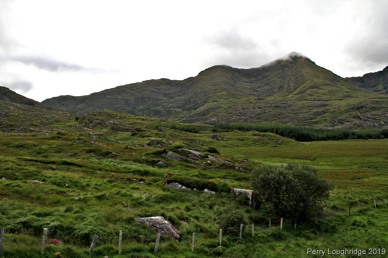
Looking back towards Black Valley.
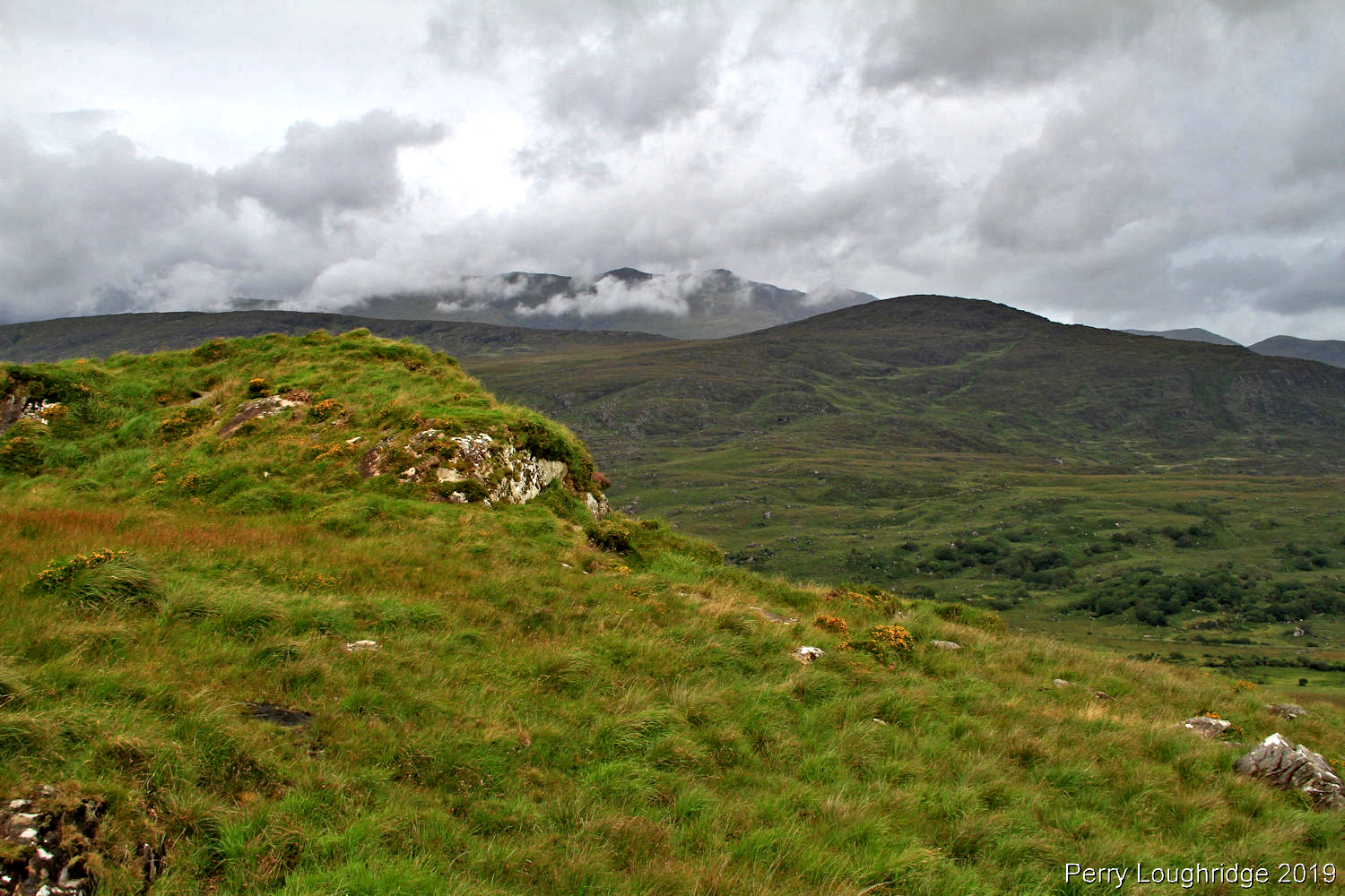
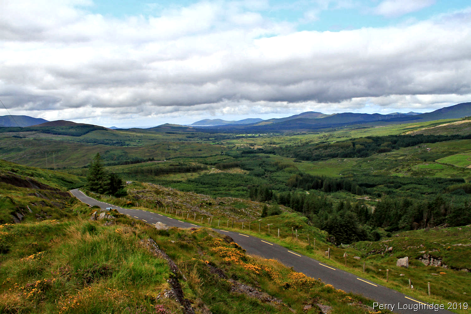
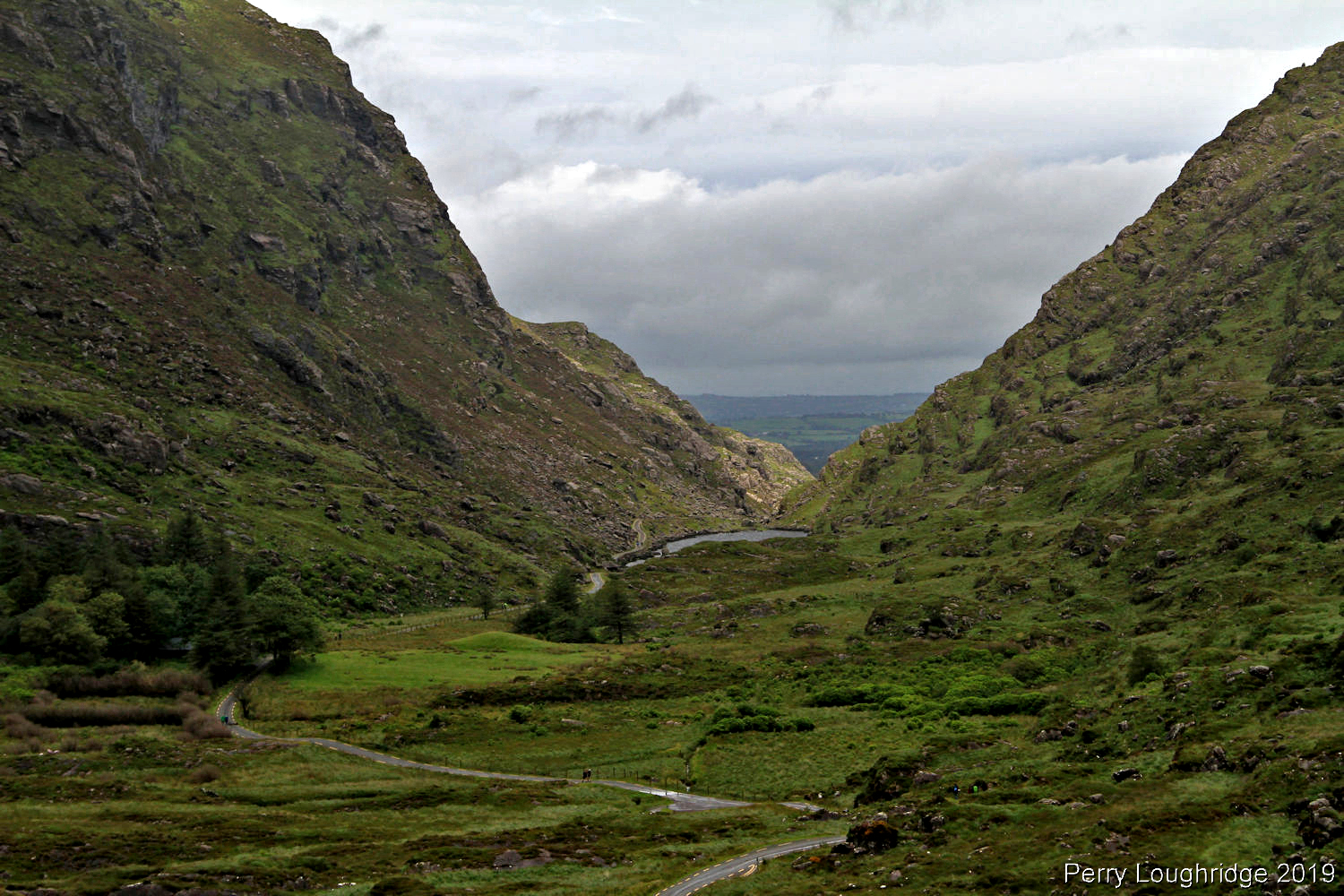
Dropping down the west side of Top Cross. Lough Bin in the distance.
Looking back on Top Cross from the main road to Glencar.
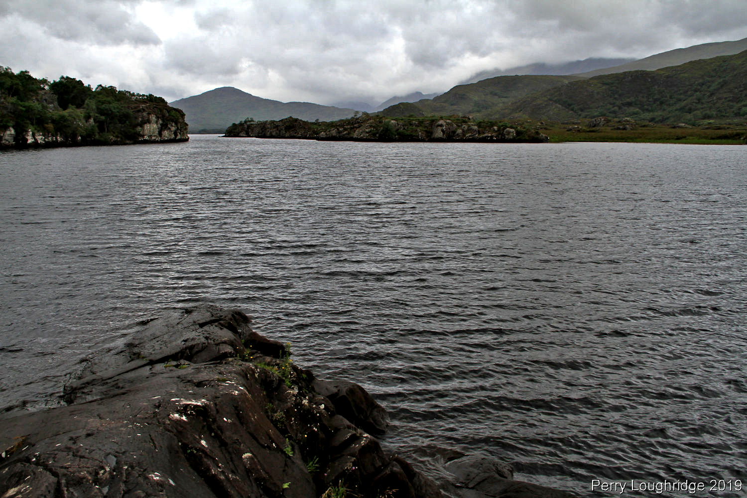
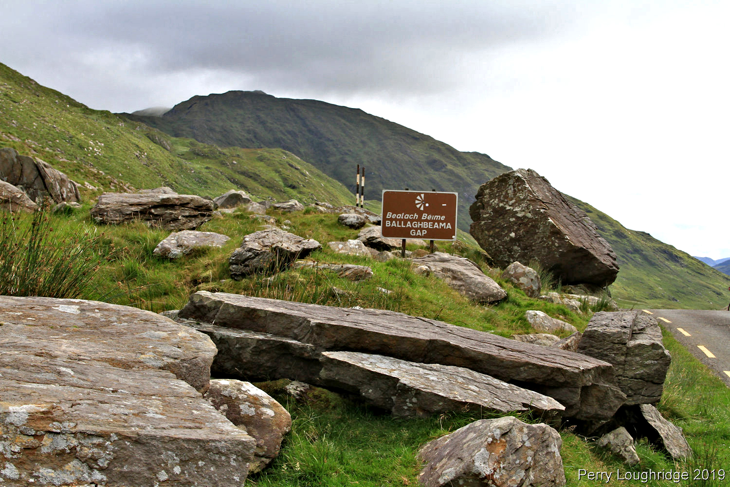
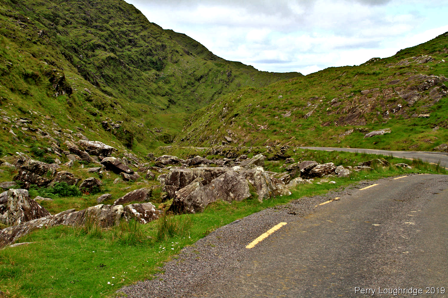
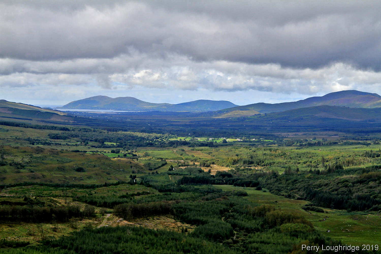
Ballaghbeama Gap.
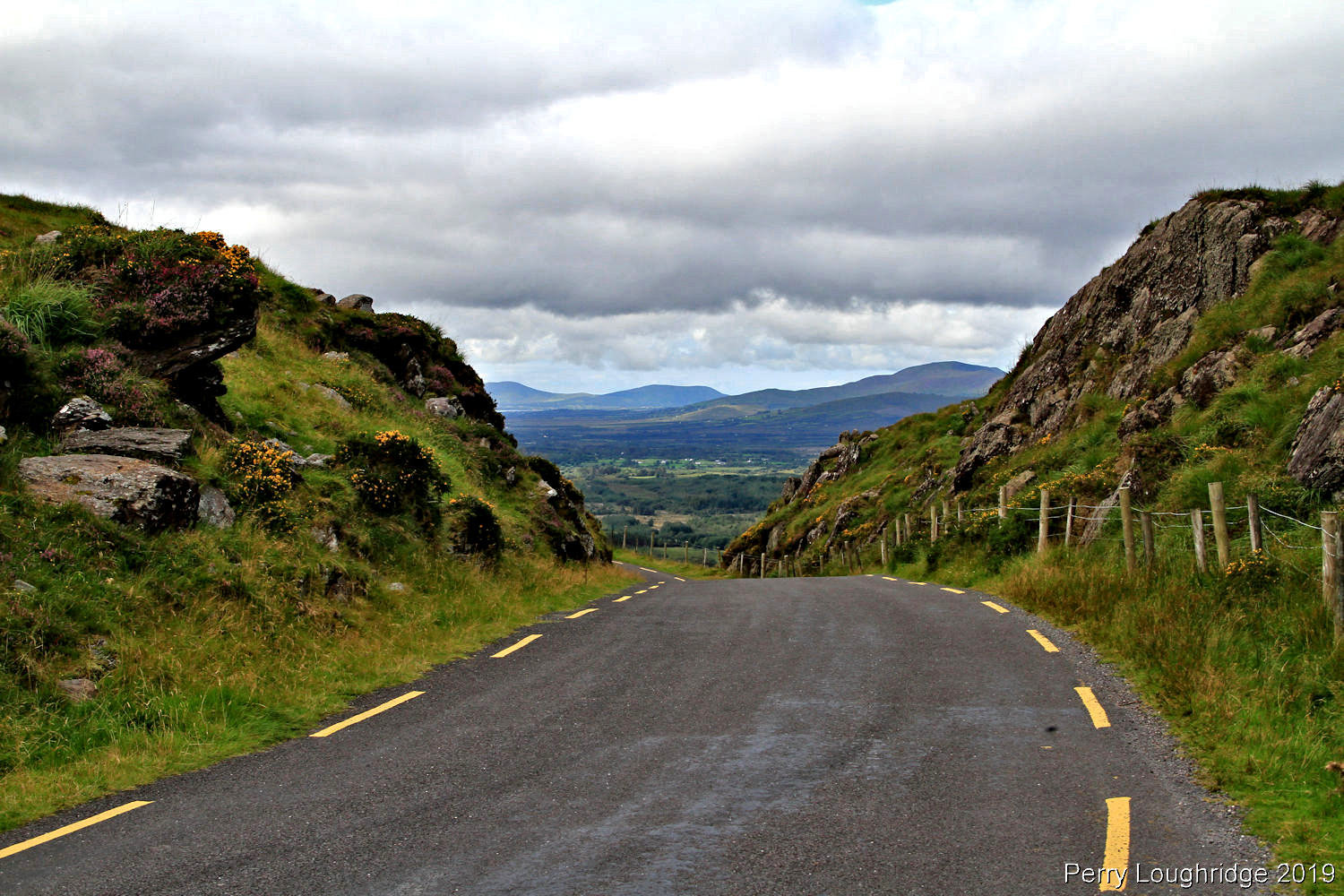
Another great section of road to Waterville.
Looking back towards Ballaghbeama Gap.
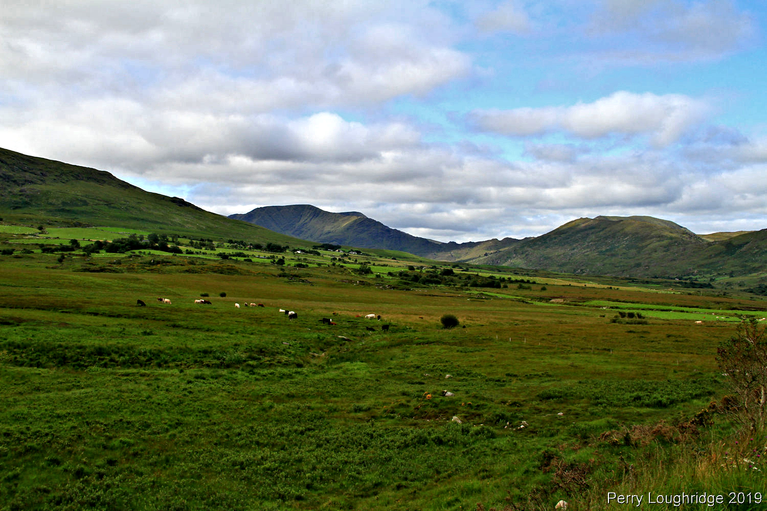
Lough Acoose.
Looking east to the MacGillycuddy’s Reeks.
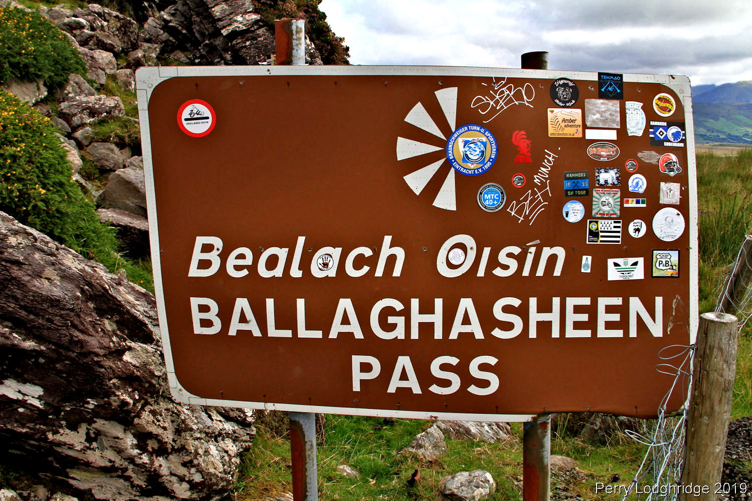
Ballaghasheen Pass.
Looking west.
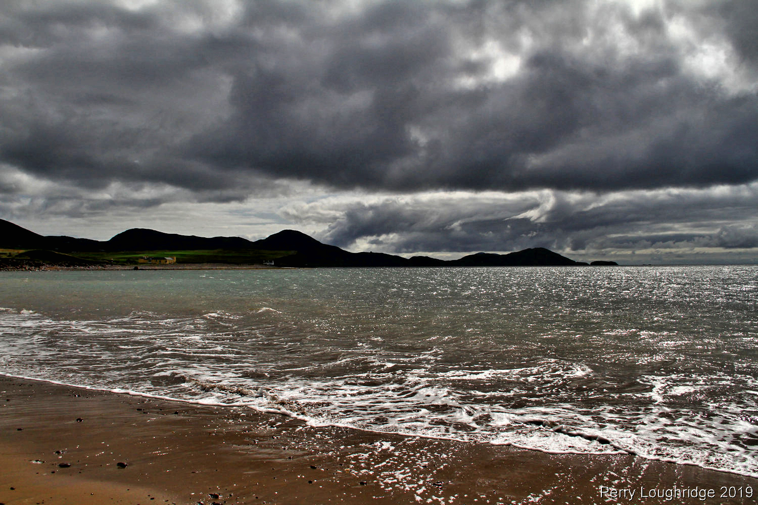
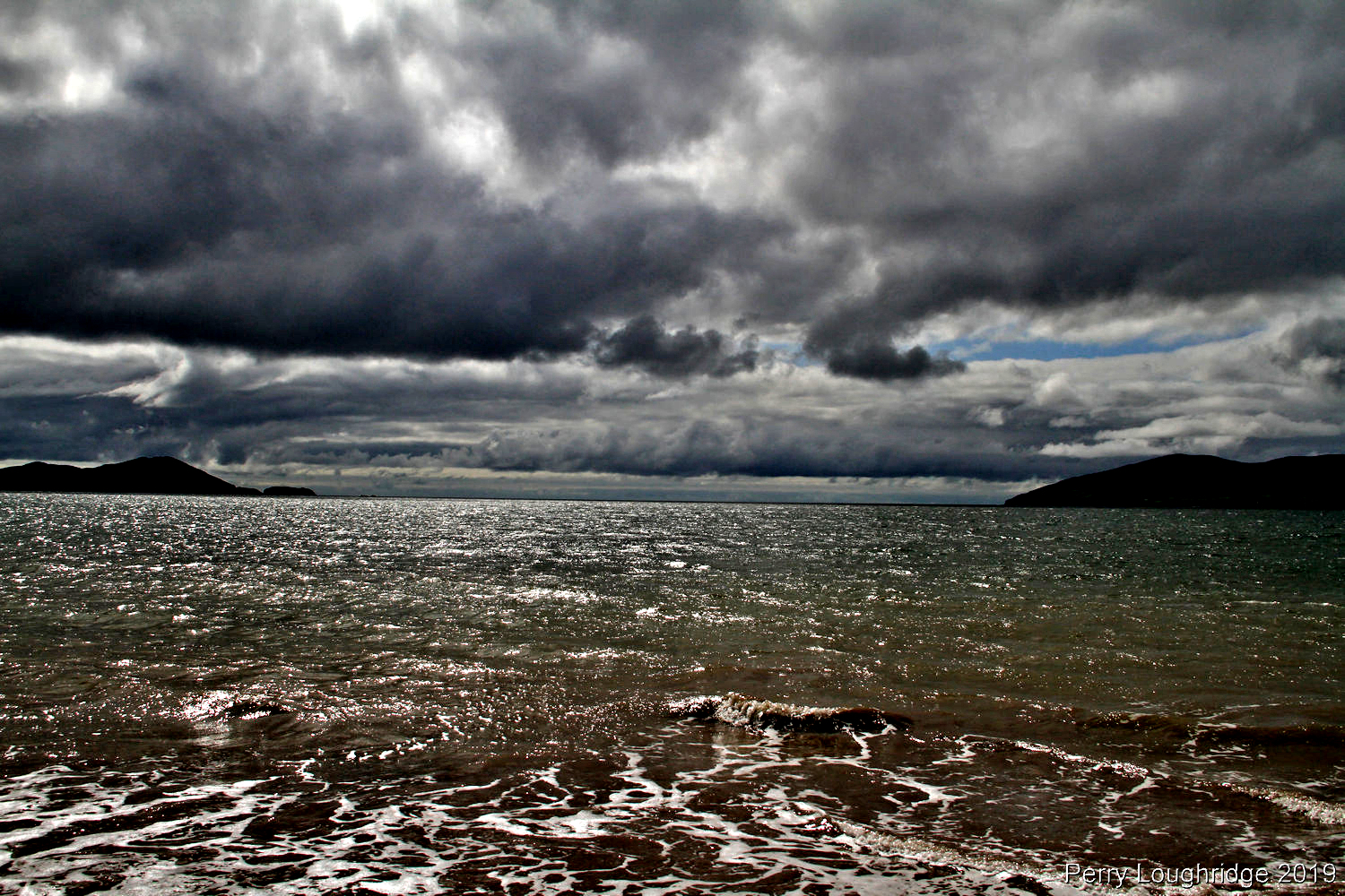
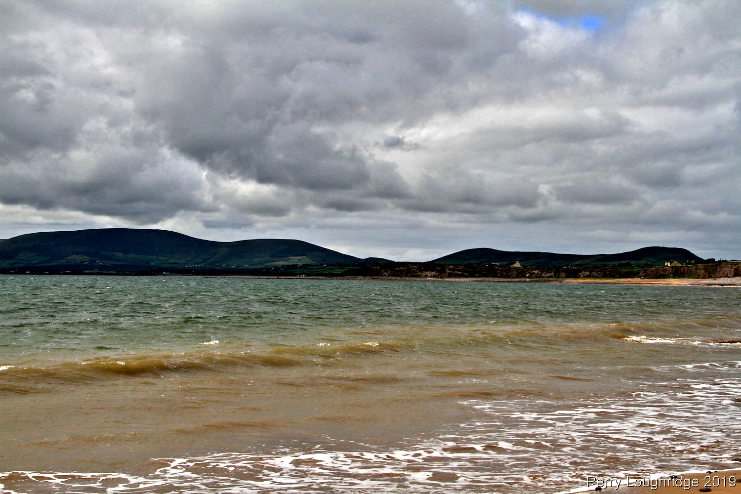
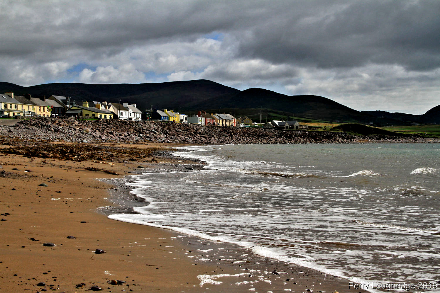
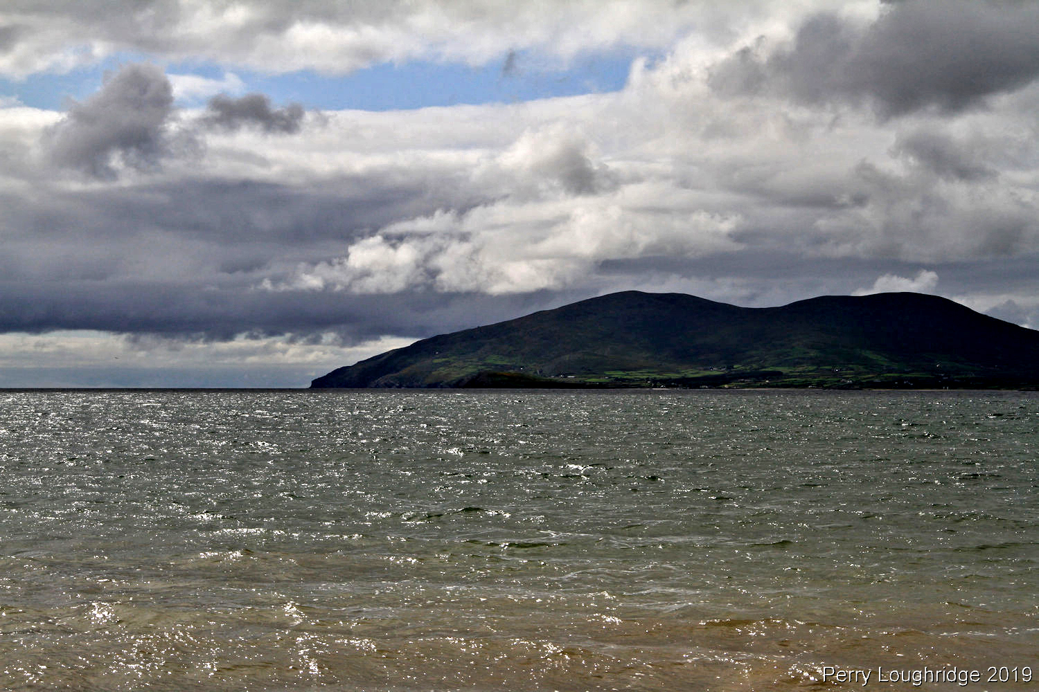
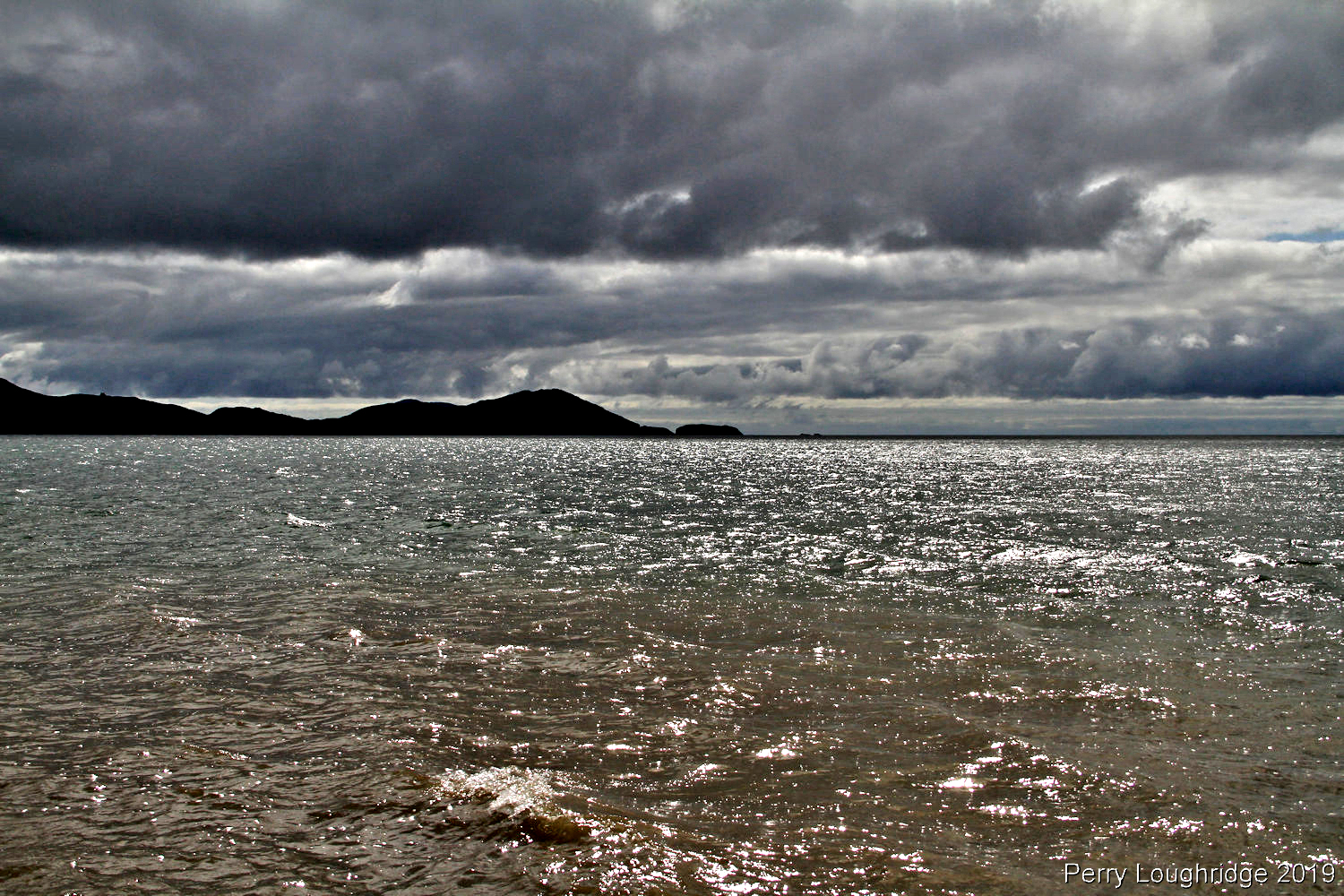
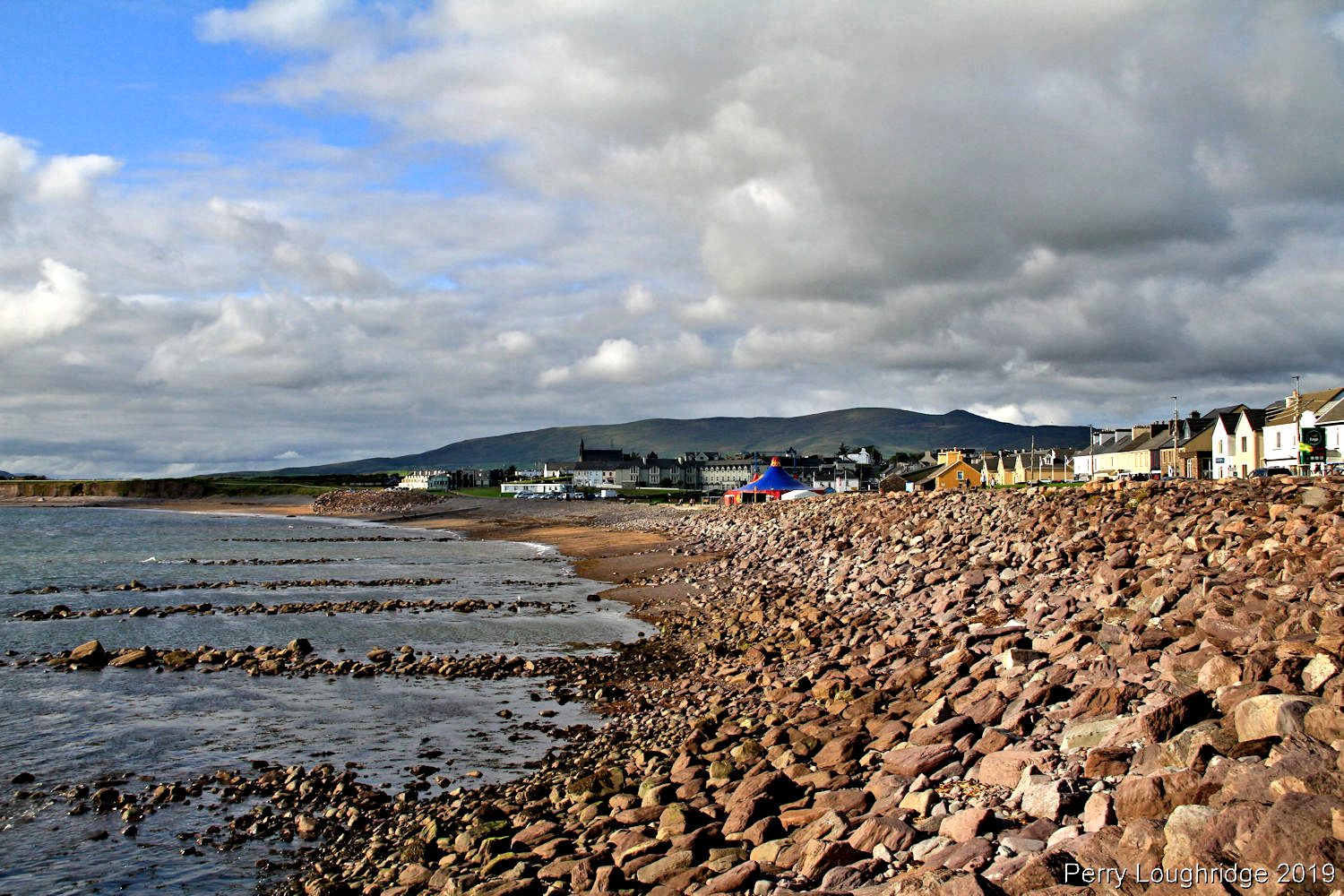
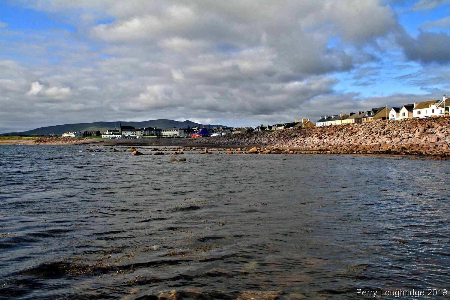
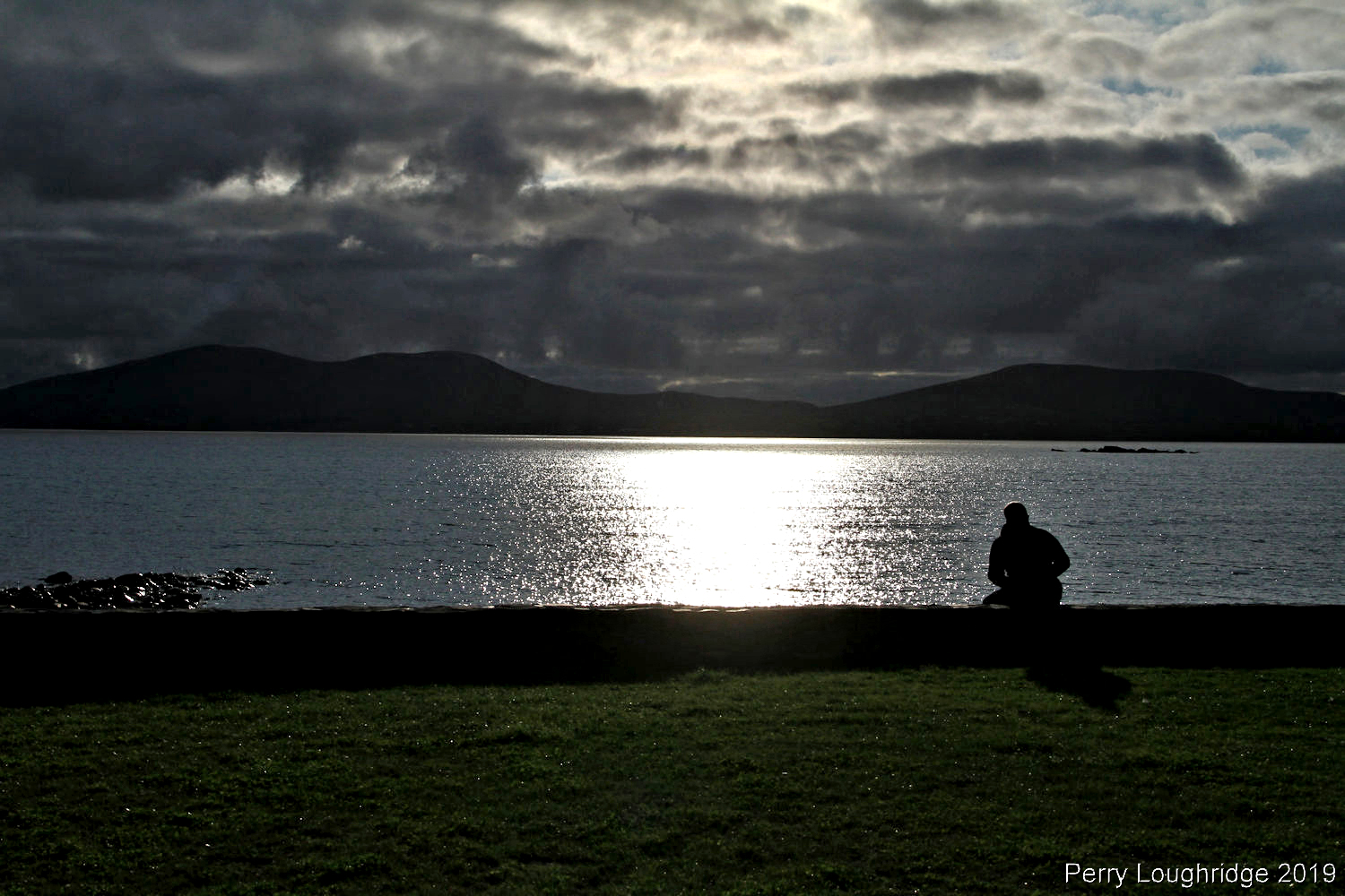
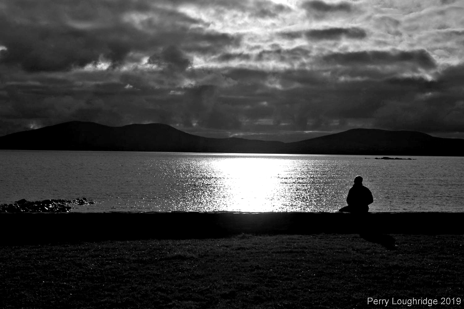
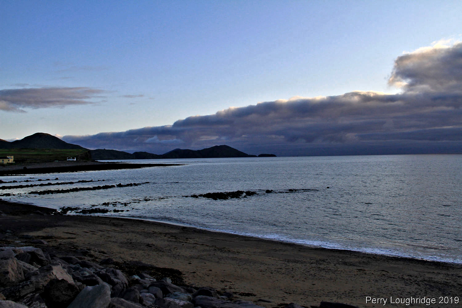
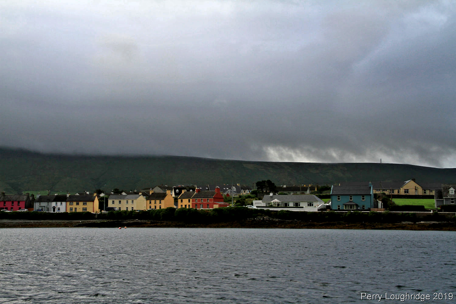
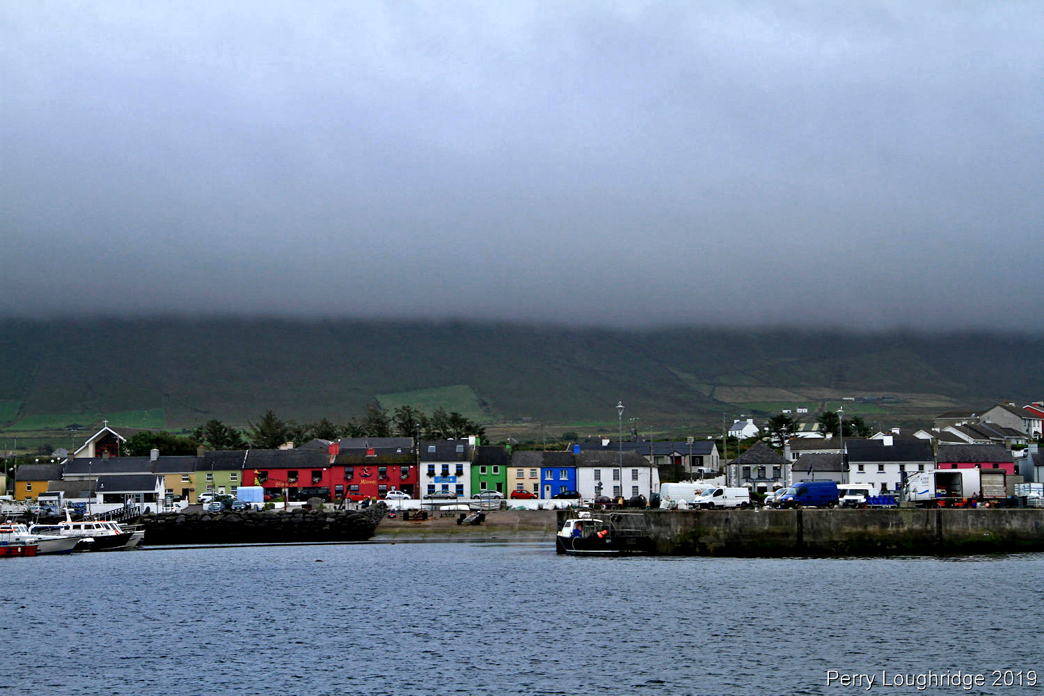
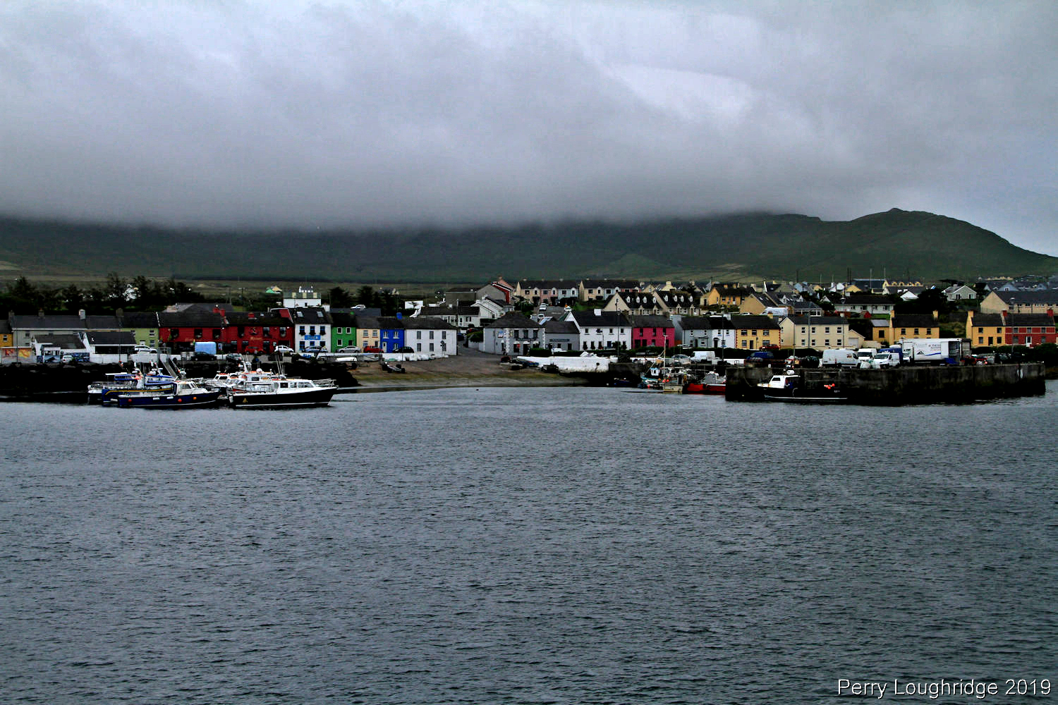
Waterville, Co Kerry.
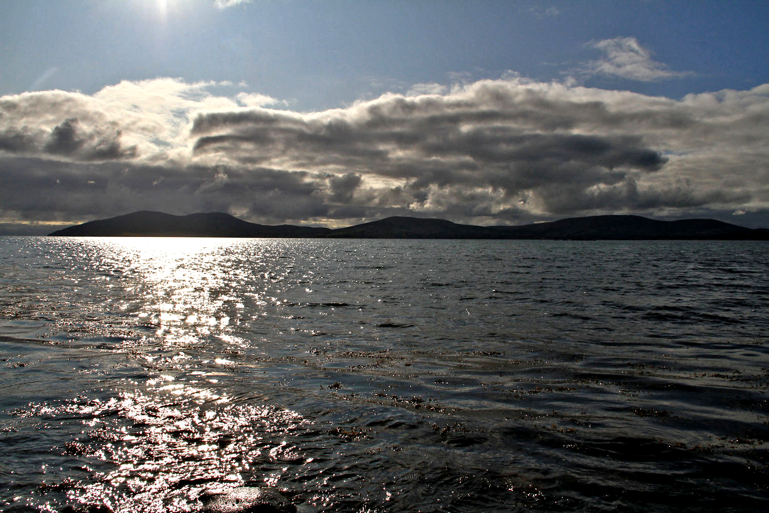
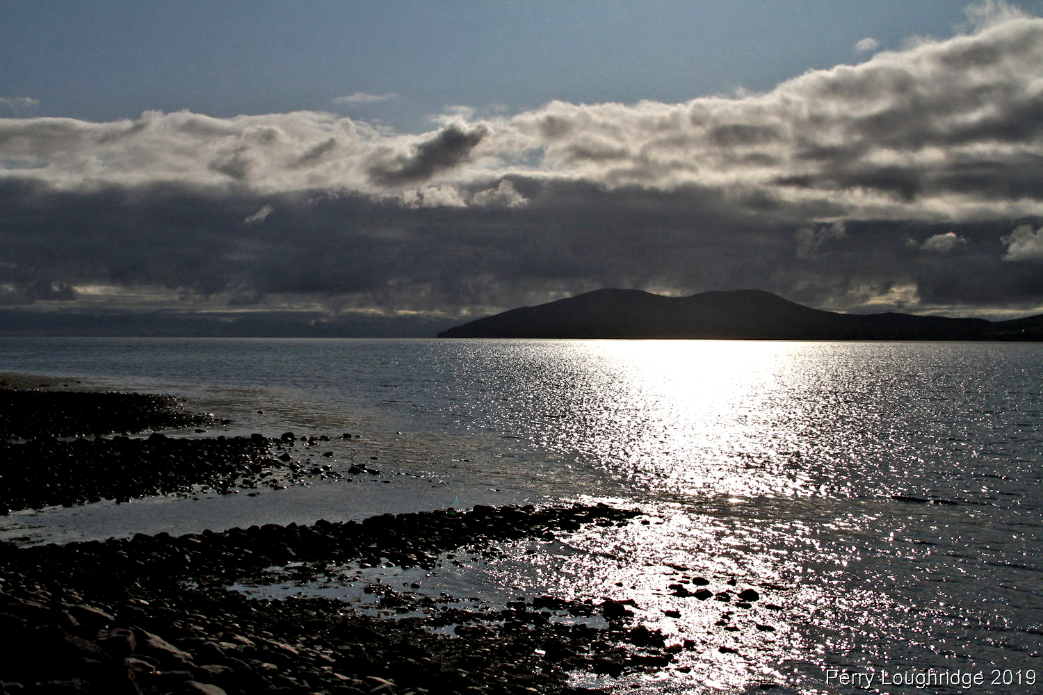
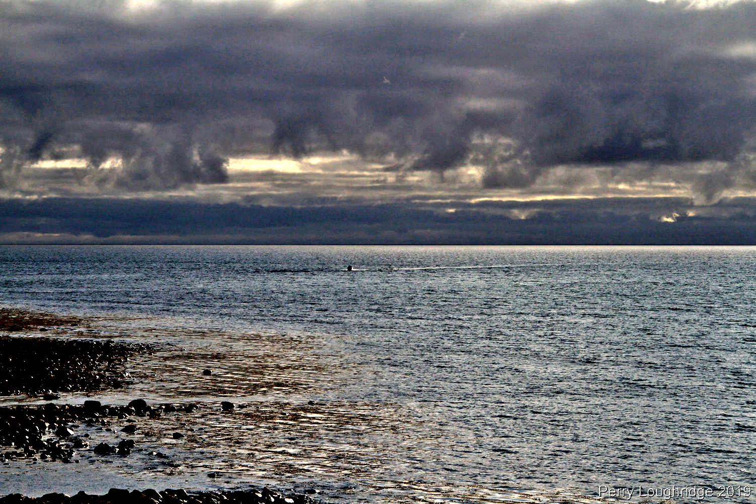
Overlooking the bay from Waterville.
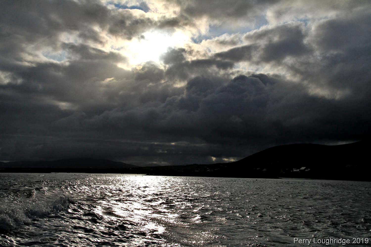
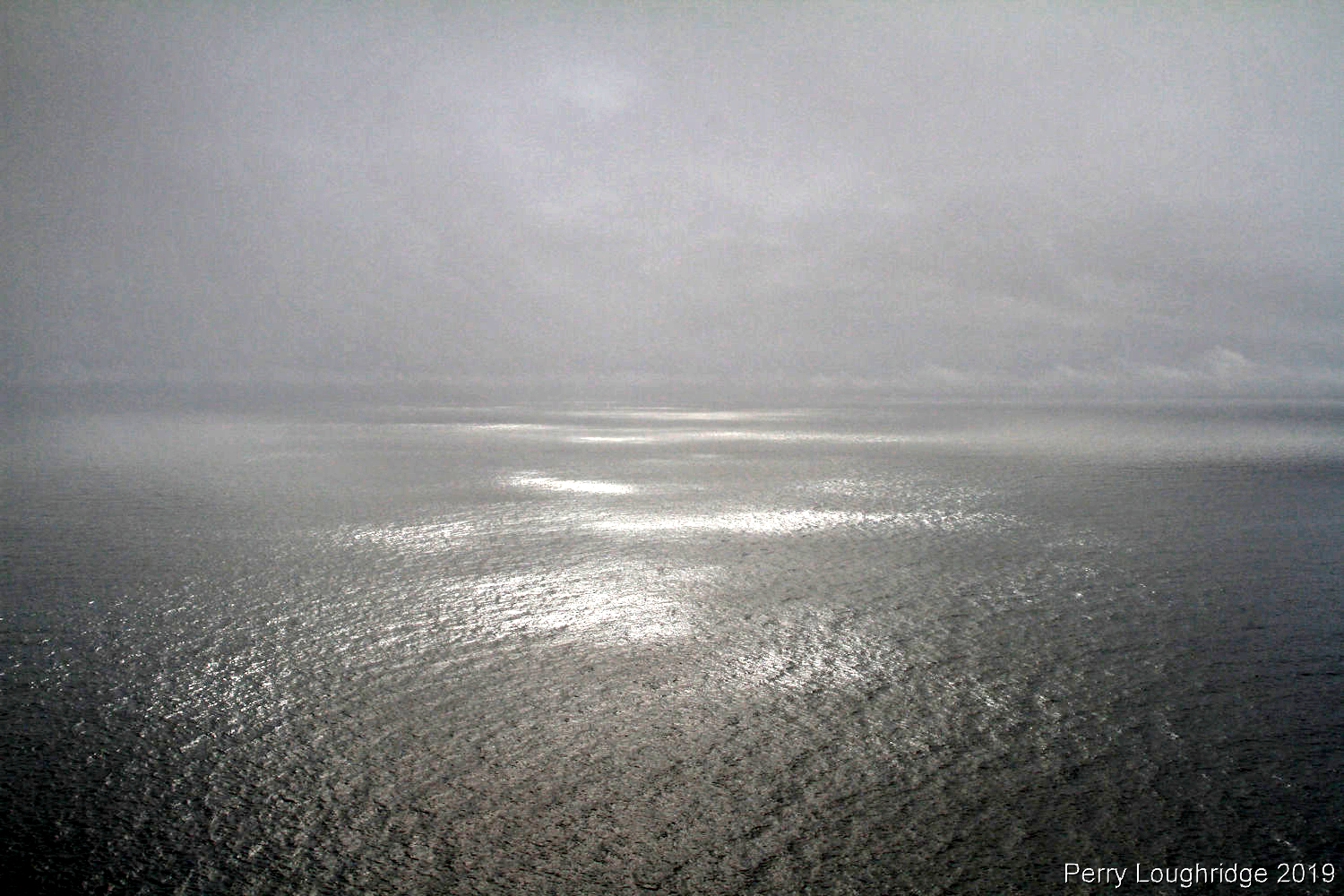
The ocean scares me. But I couldn’t help but walk around and take in the views. It was a beautiful day.
Evening setting in.
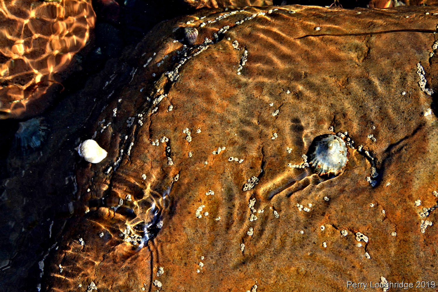
Ocean rocks.
Fisherman coming home.
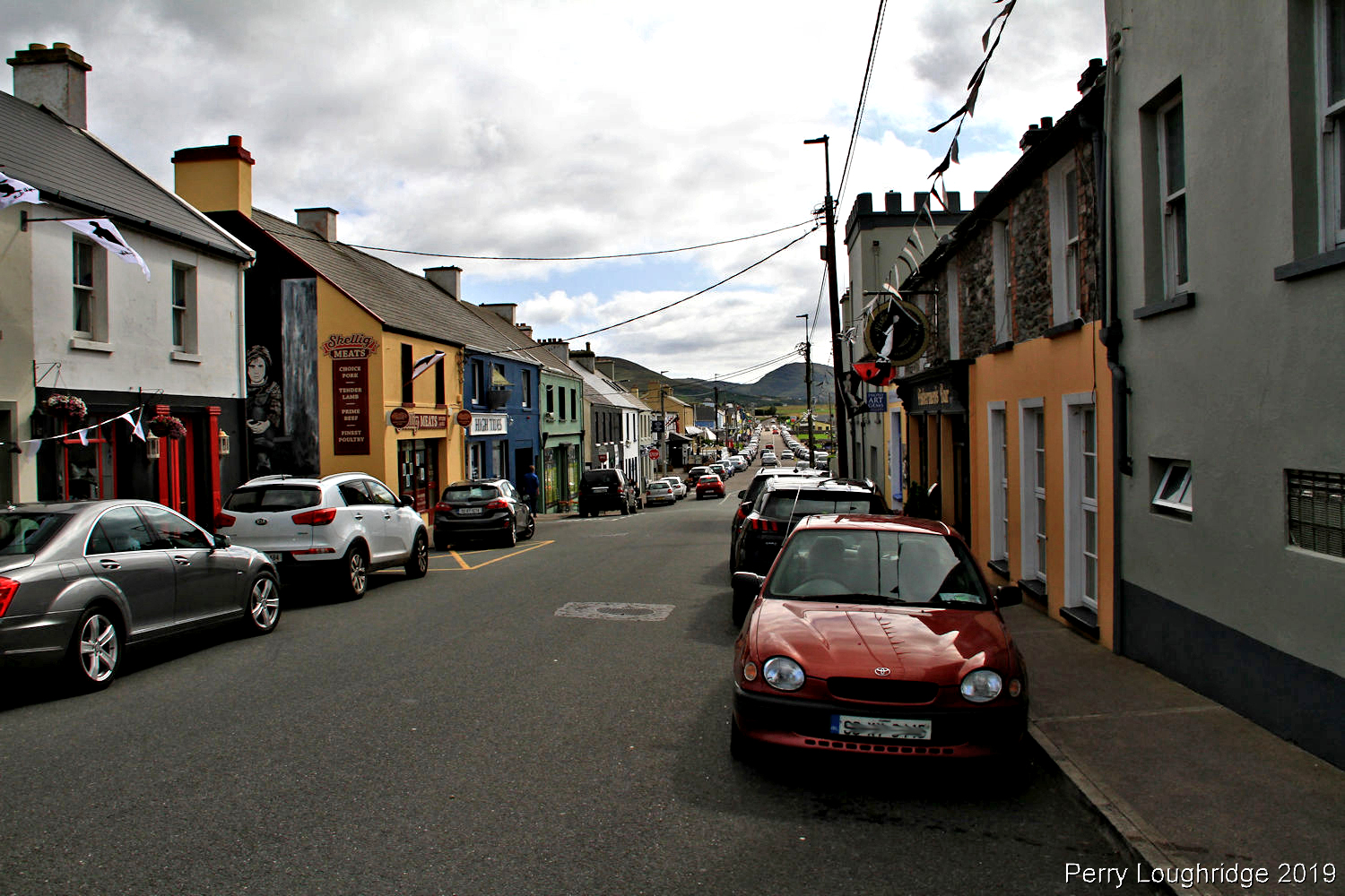
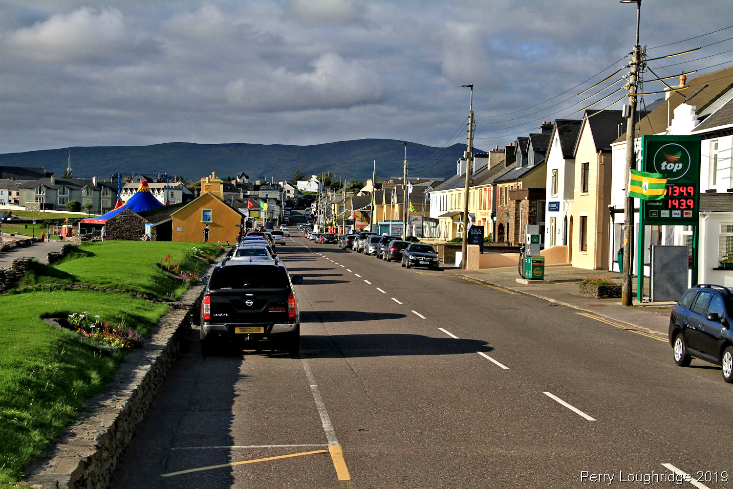
The main street in Waterville.
Walked by this fellow taking in the evening light. A musician from Galway. I thanked him for the image.
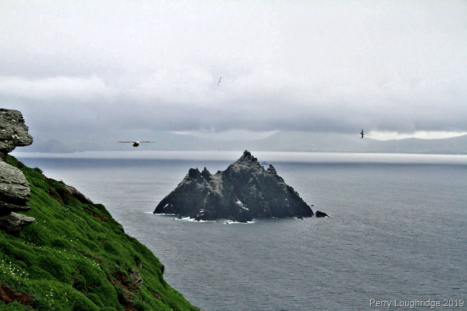
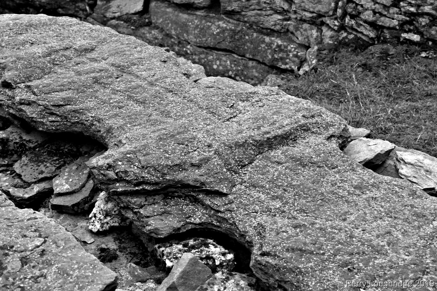
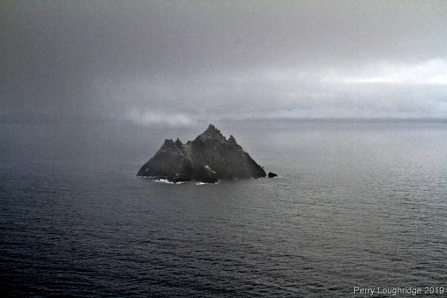
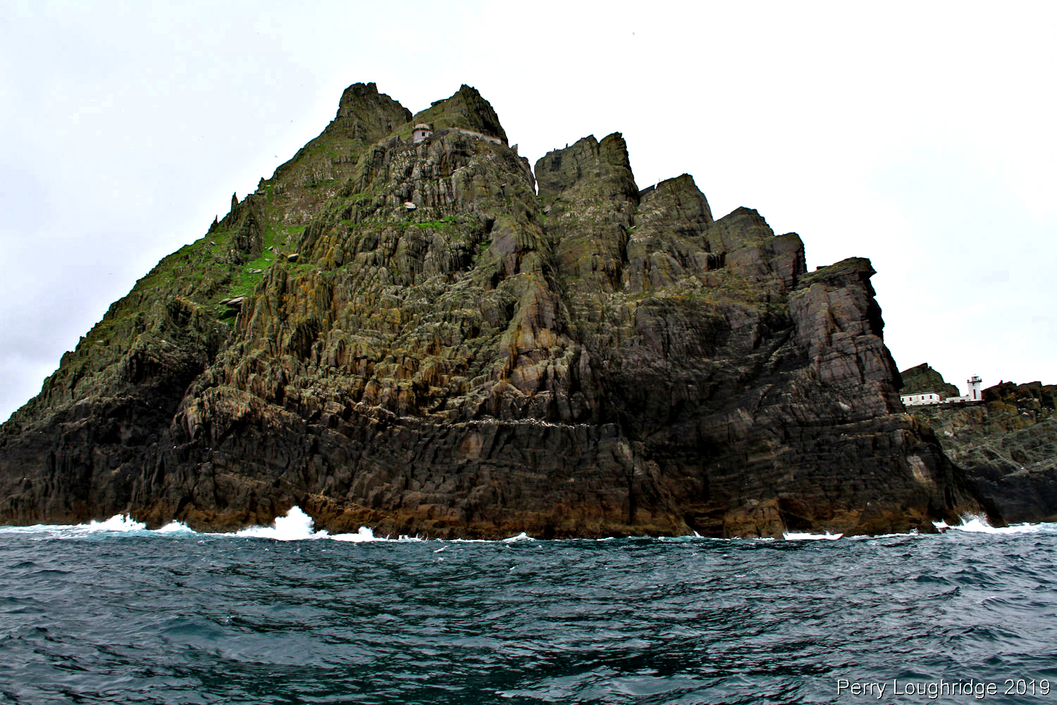
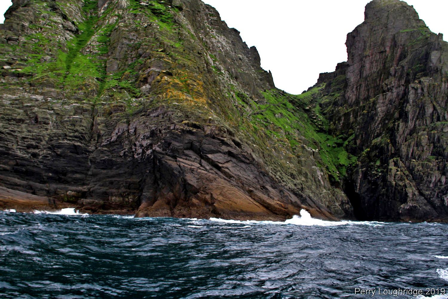
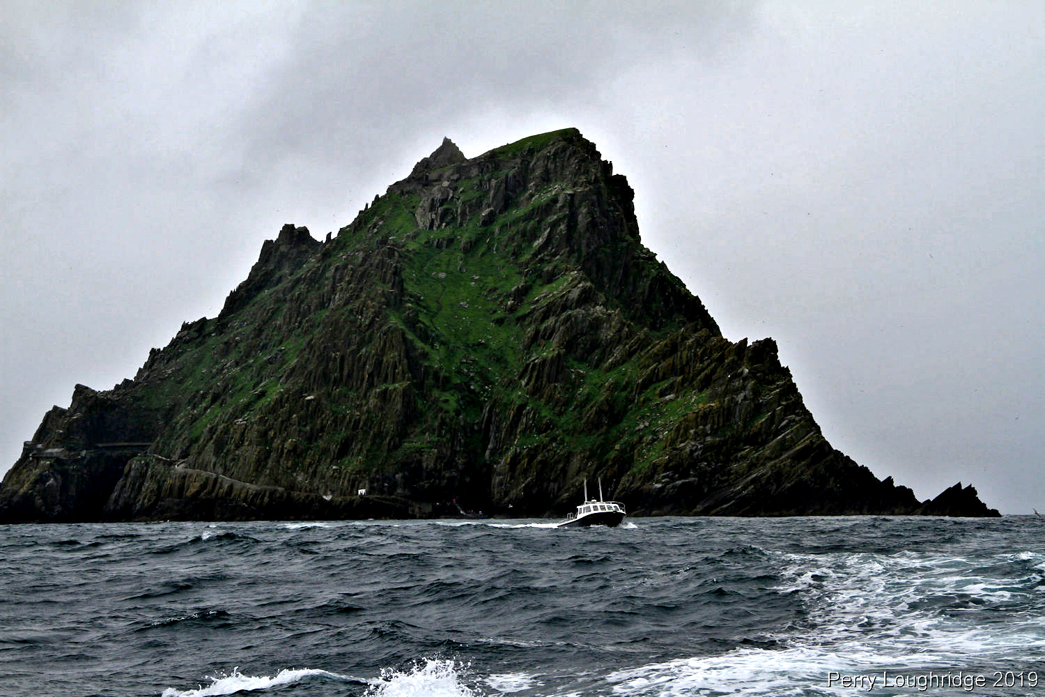
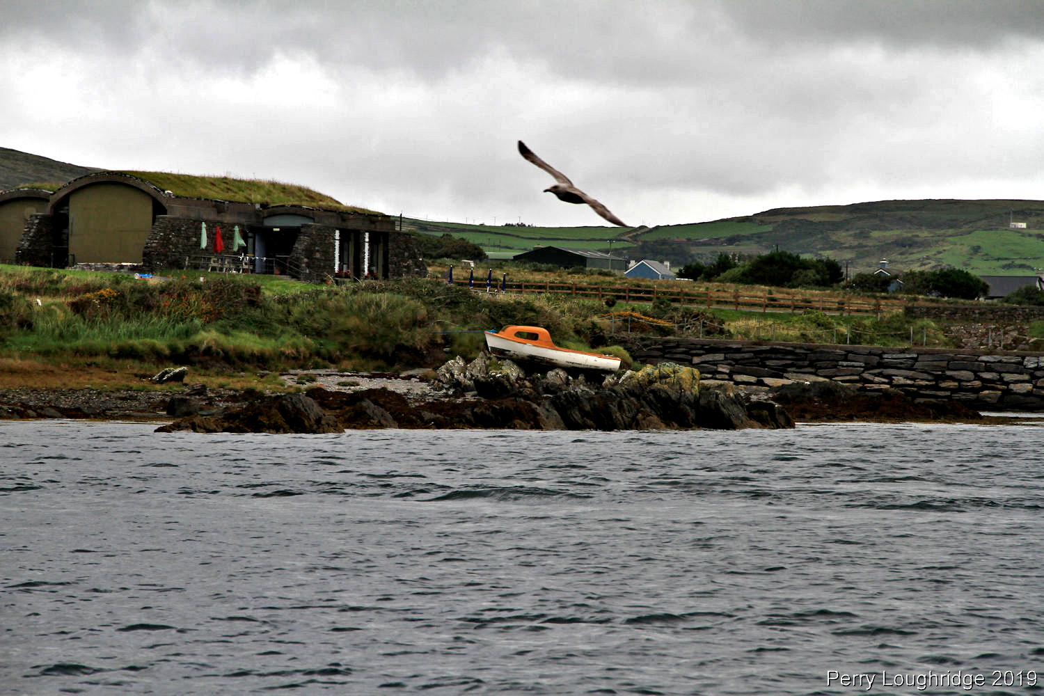
For my second to last day in Ireland, I had the good fortune of getting out to the Skellig Islands. I’ve known about these island since my first visit, but wasn’t able to get out to them during the winter as they were closed. The Skelligs, two crags seven miles off the mainland of Ireland, are home to not only an abundance of sea birds, but also a 6th century monastic site.
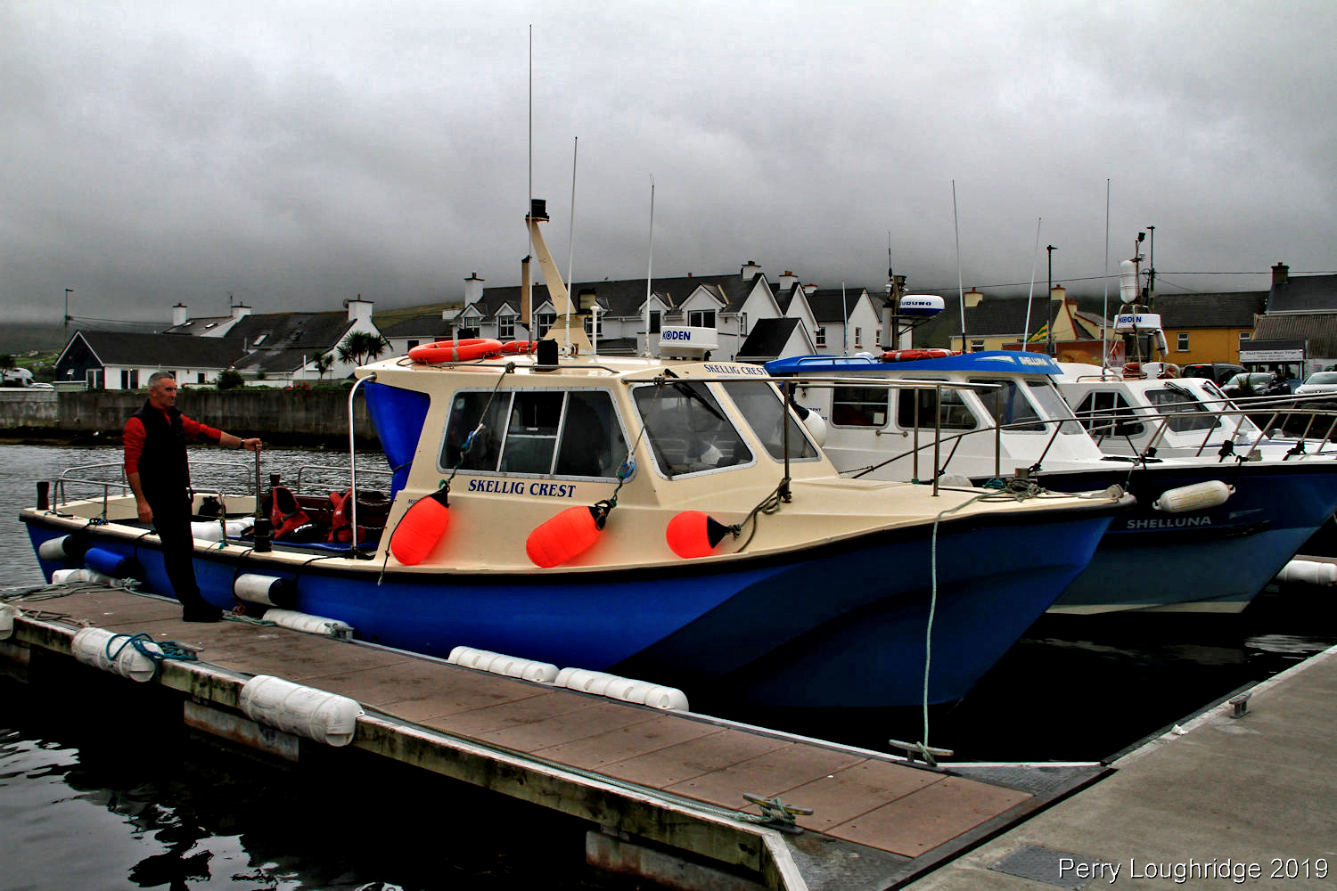
Portmagee, a village on the north western tip of the Iveragh Peninsula (also known as the Ring of Kerry), was named after a 18th century smuggler. Portmagee is one of the access harbors to get to the Skellig Islands. I spent my last two nights in Portmagee. A most enjoyable little village.
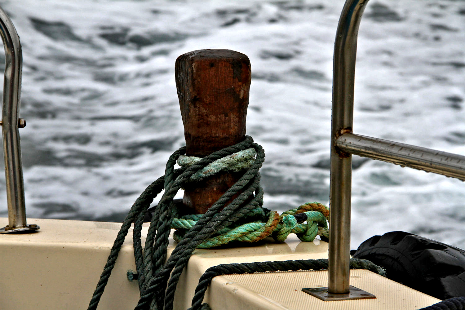
Views of Portmagee from the boat.
The last bit of sun we would see for the day.
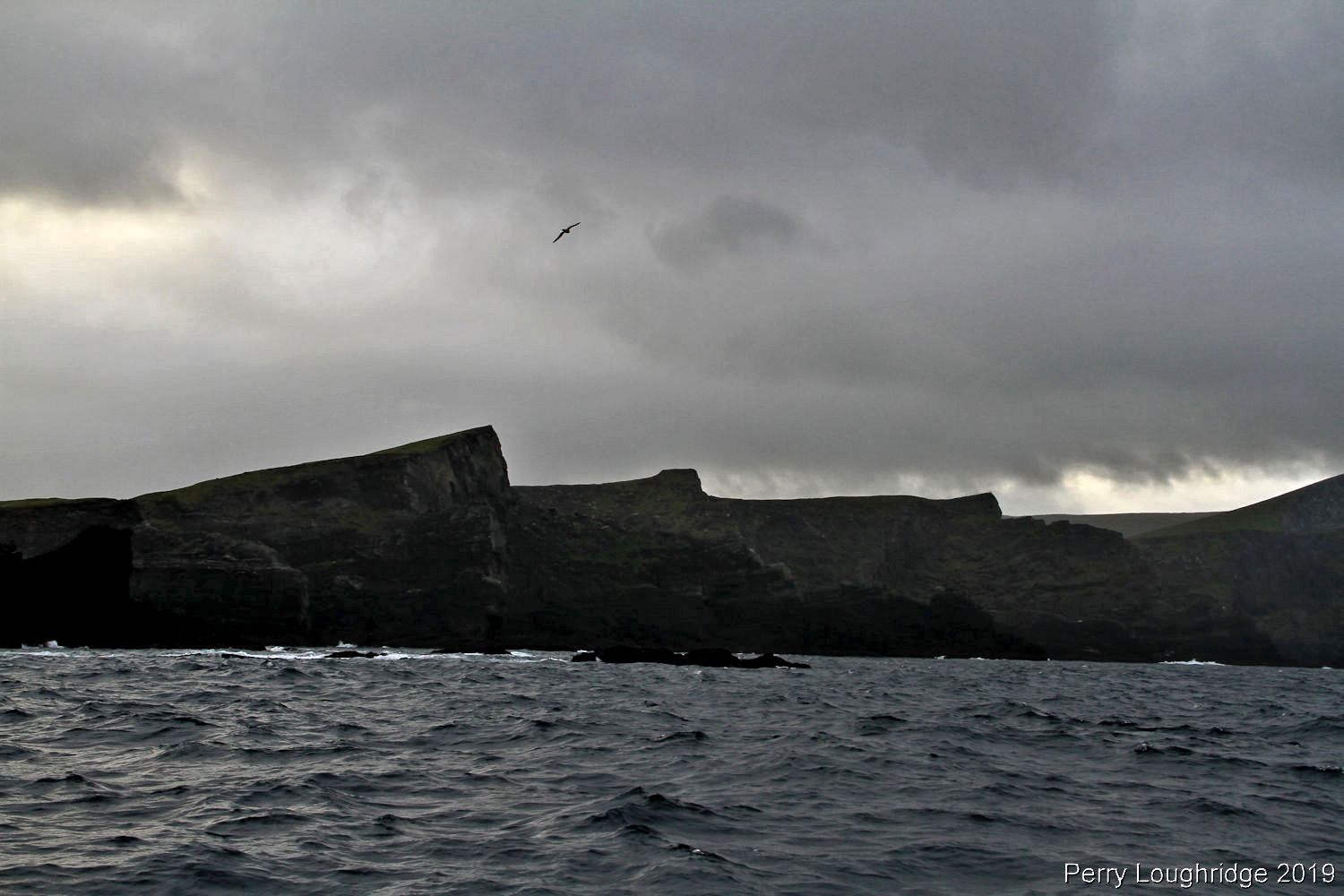
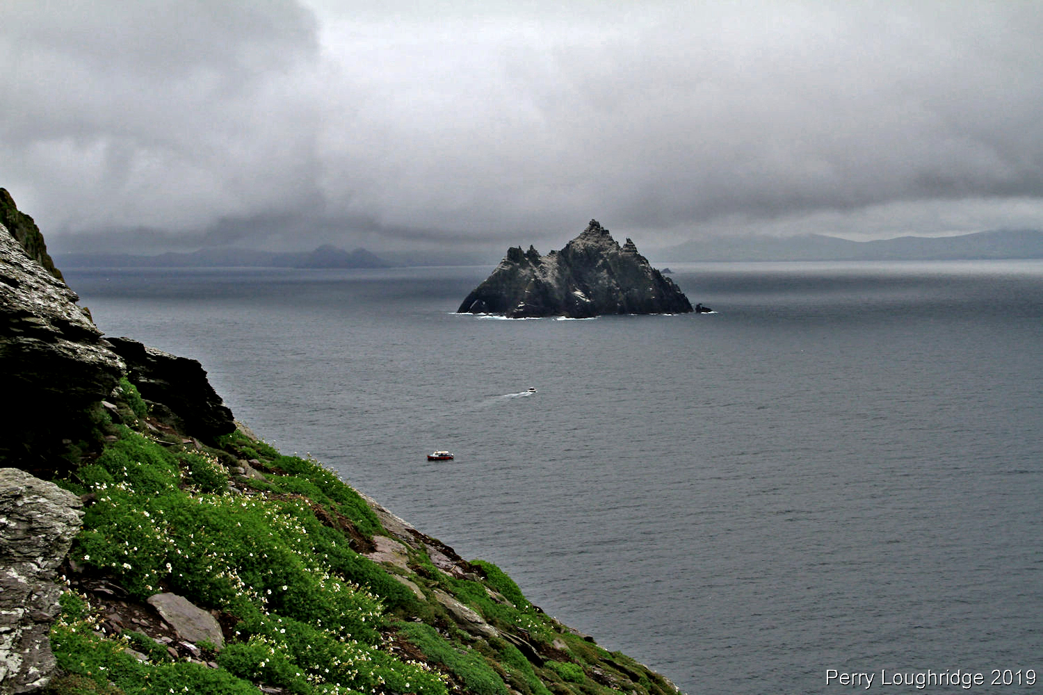
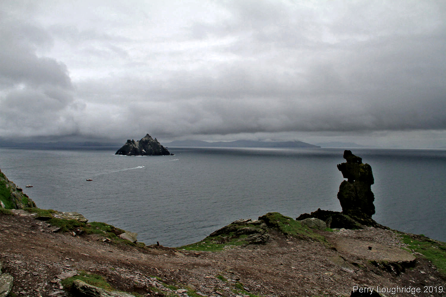
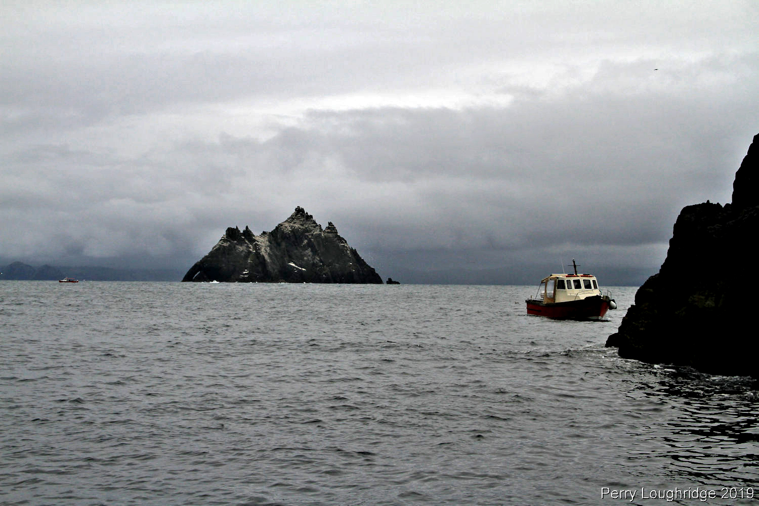
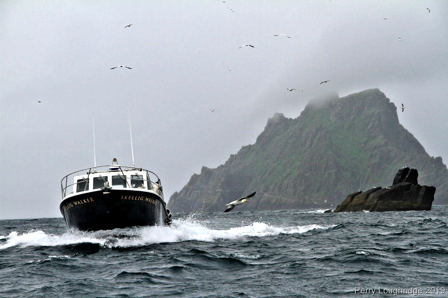
Little Skellig.
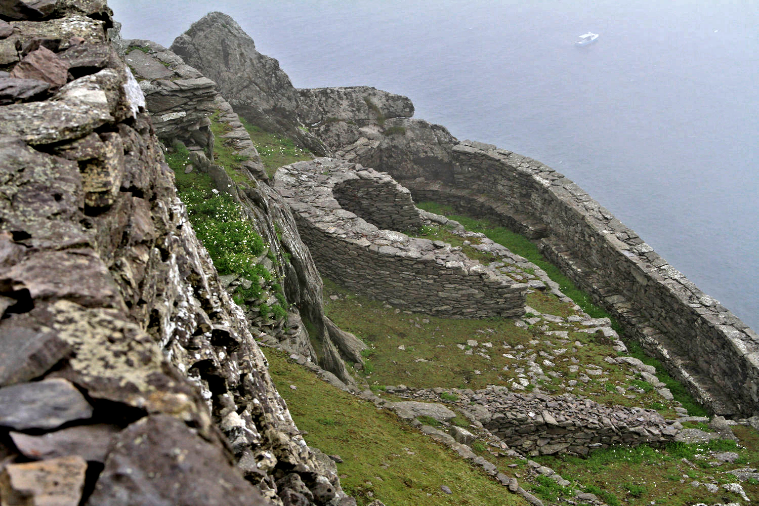
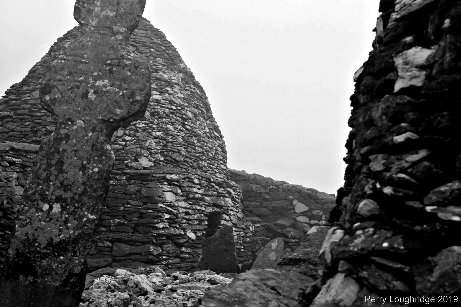
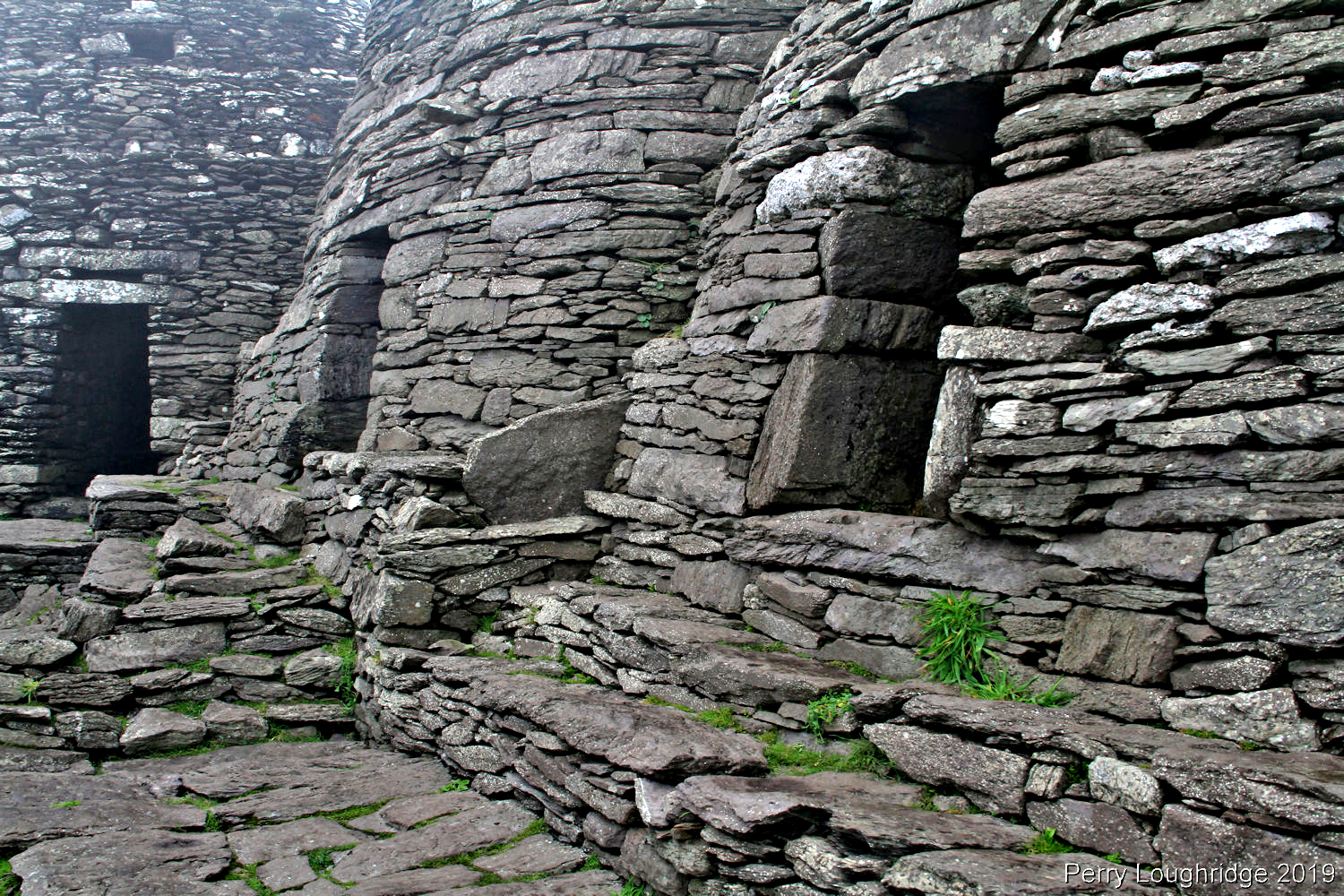
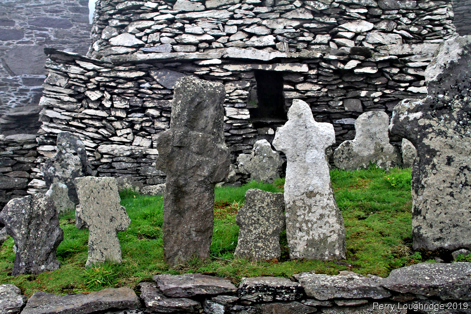
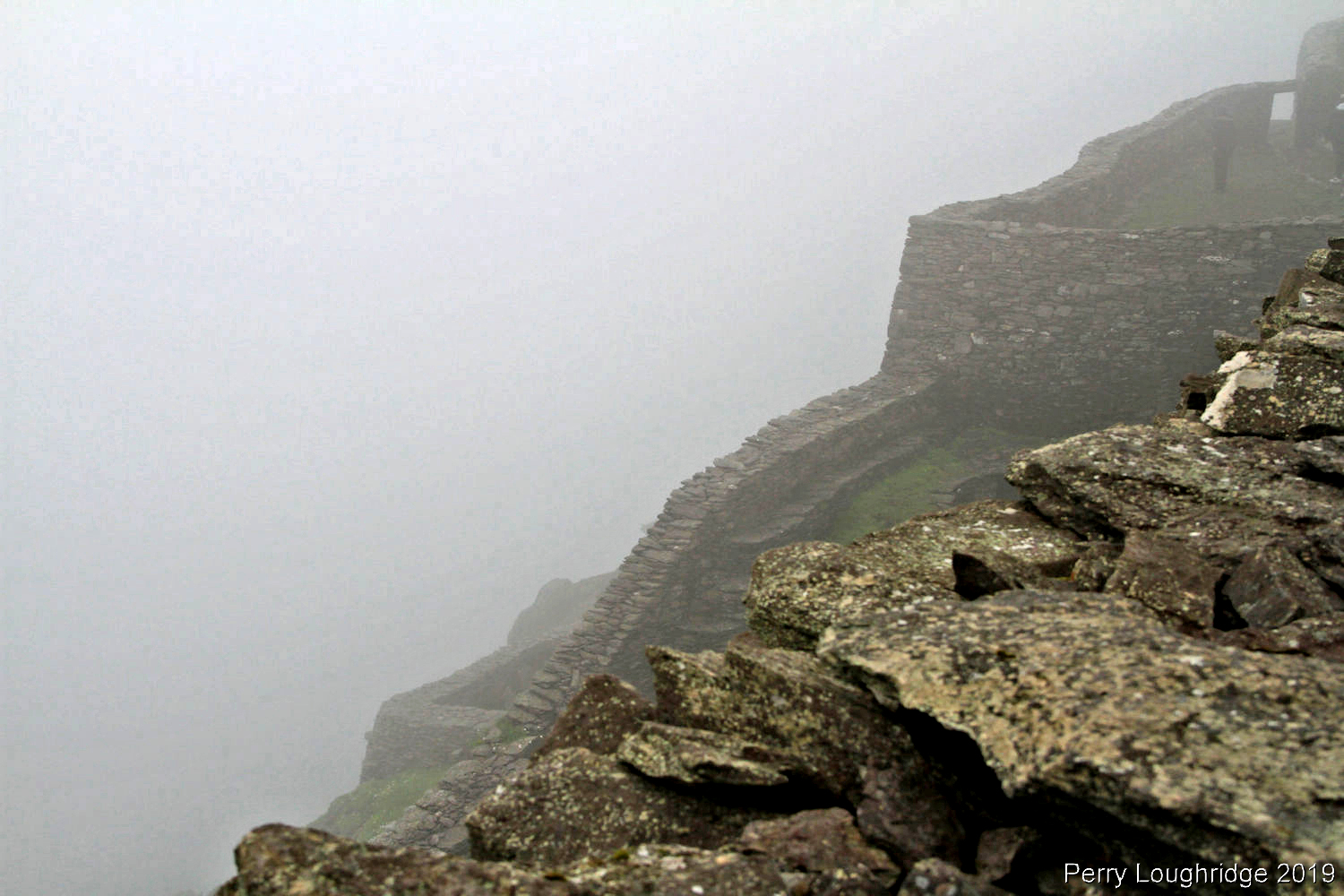
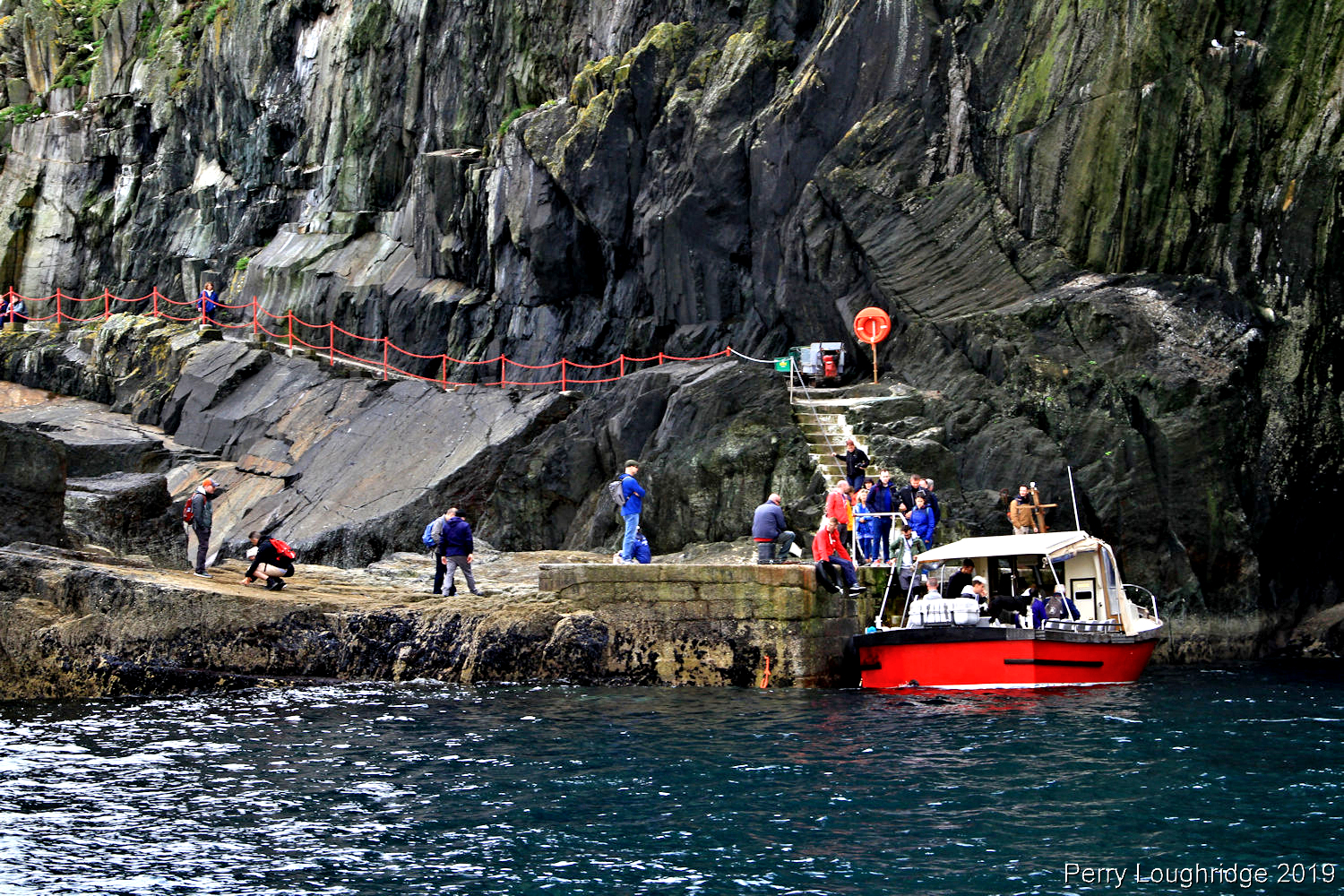
First views of the 6th century monastery site after walking up the almost 600 steps from the boat.
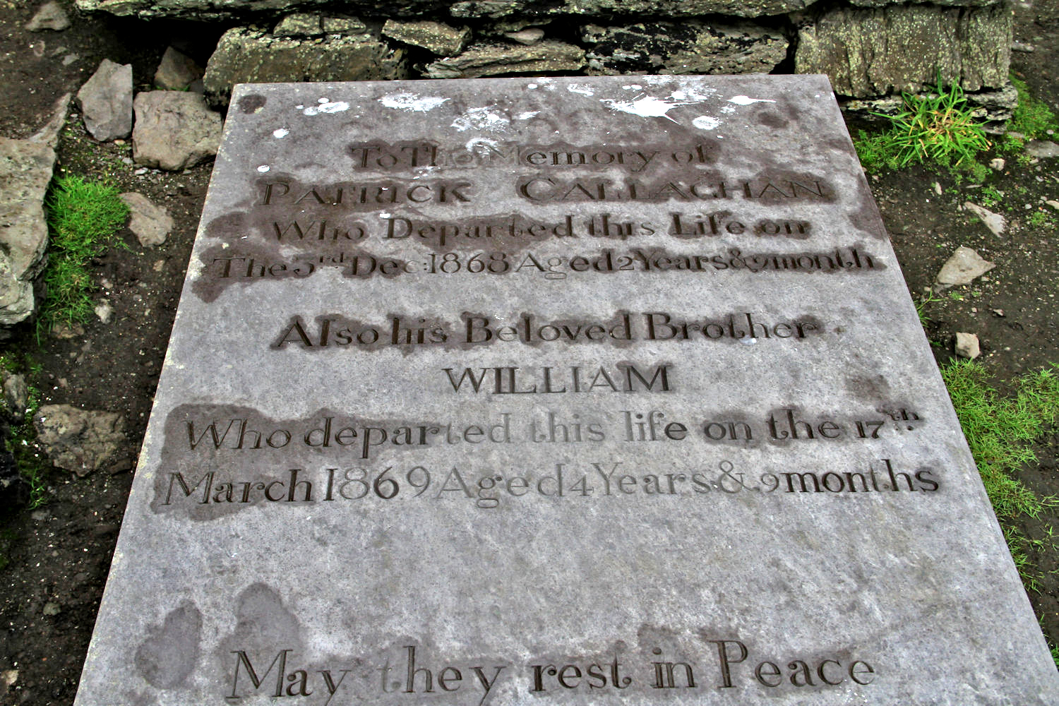
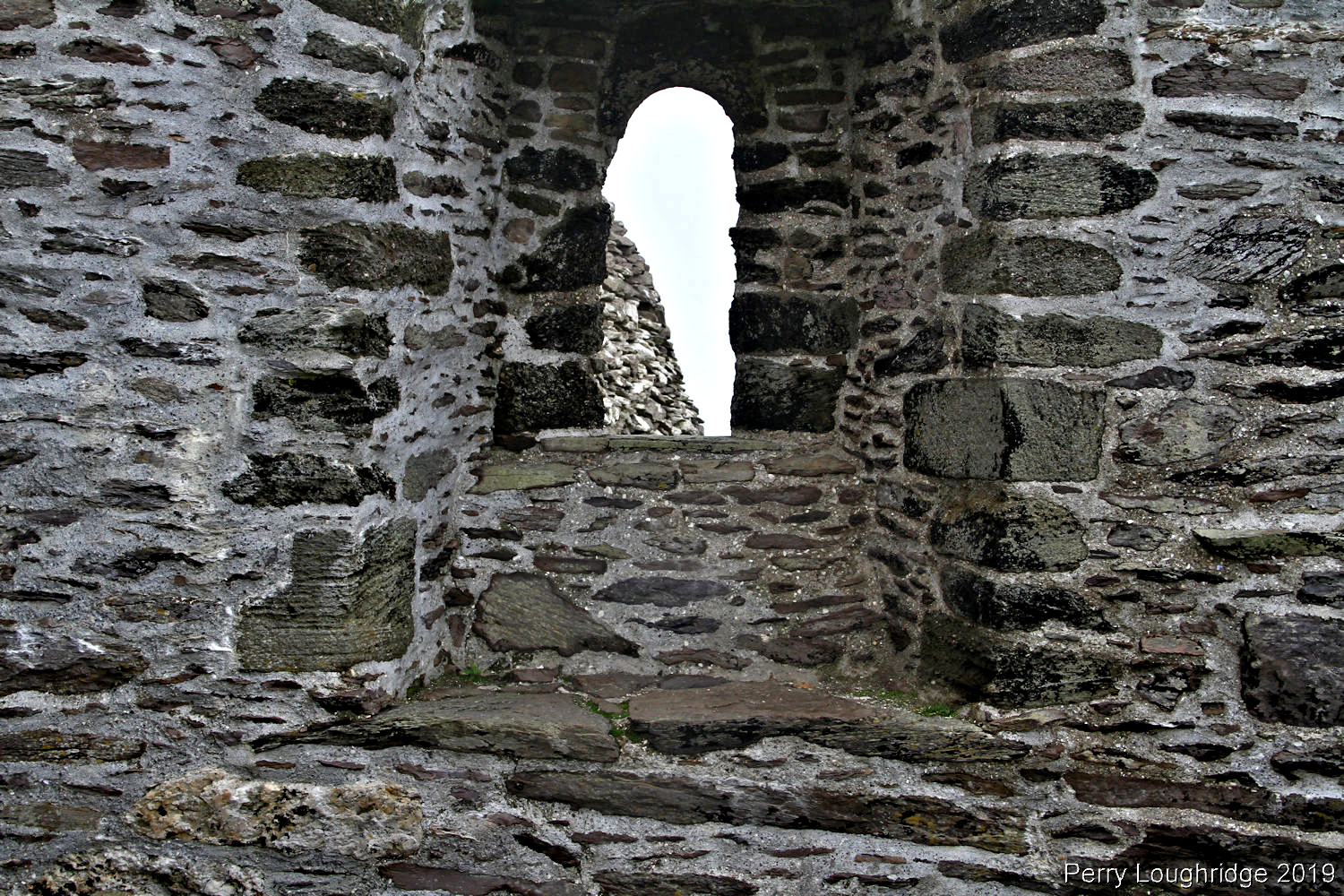
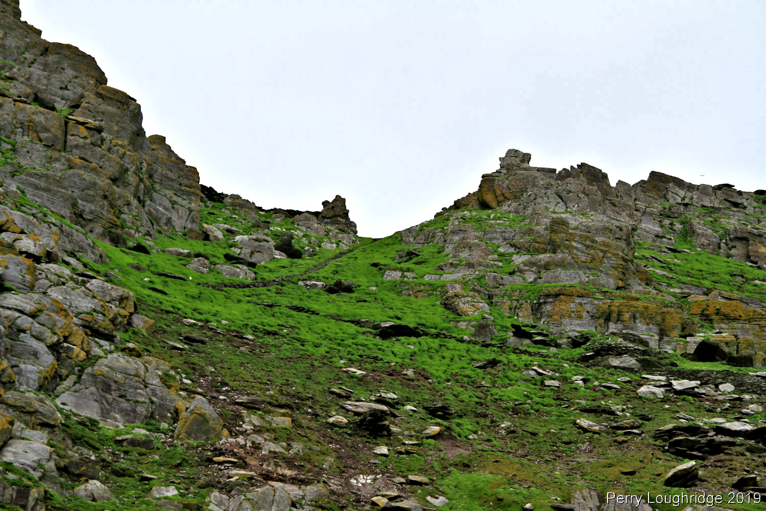
Pics from around the monastery. Designated a UNESCO World Heritage site in 1996, it’s limited on the number of visitors that have access per day. Even on the limitation to visitors and given the sites small size, it was a busy place. I found myself waiting a lot to get the pic I wanted. Even with the crowds, and amazing place to be.
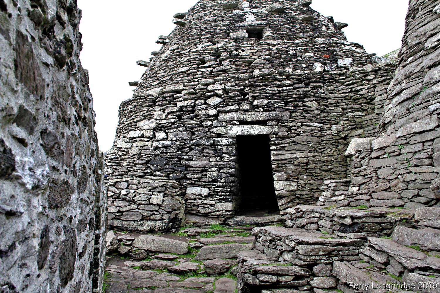
Dedicated to Saint Michael around 1044, the monastery atop the Great Skellig is believed to be from the 6th century.
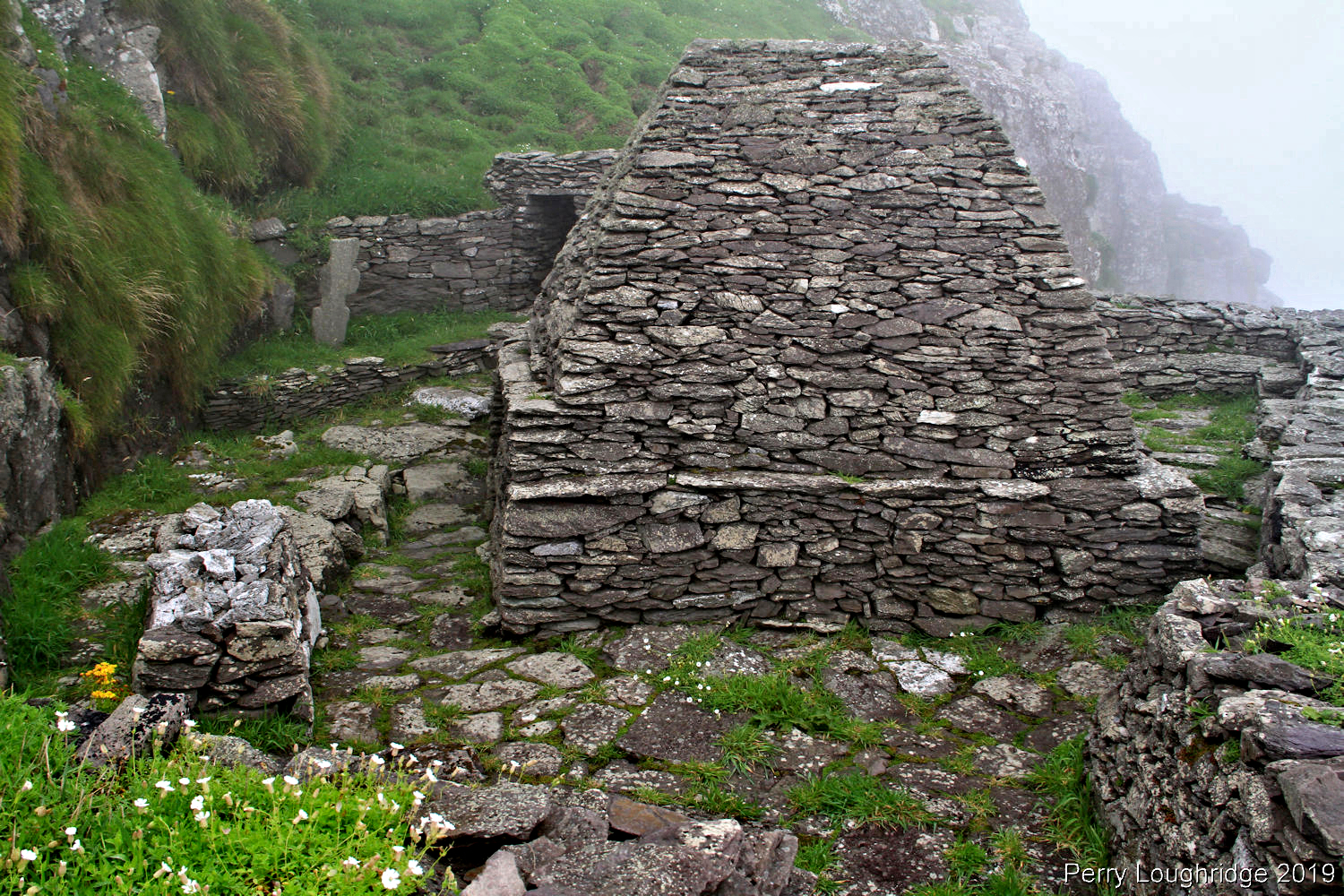
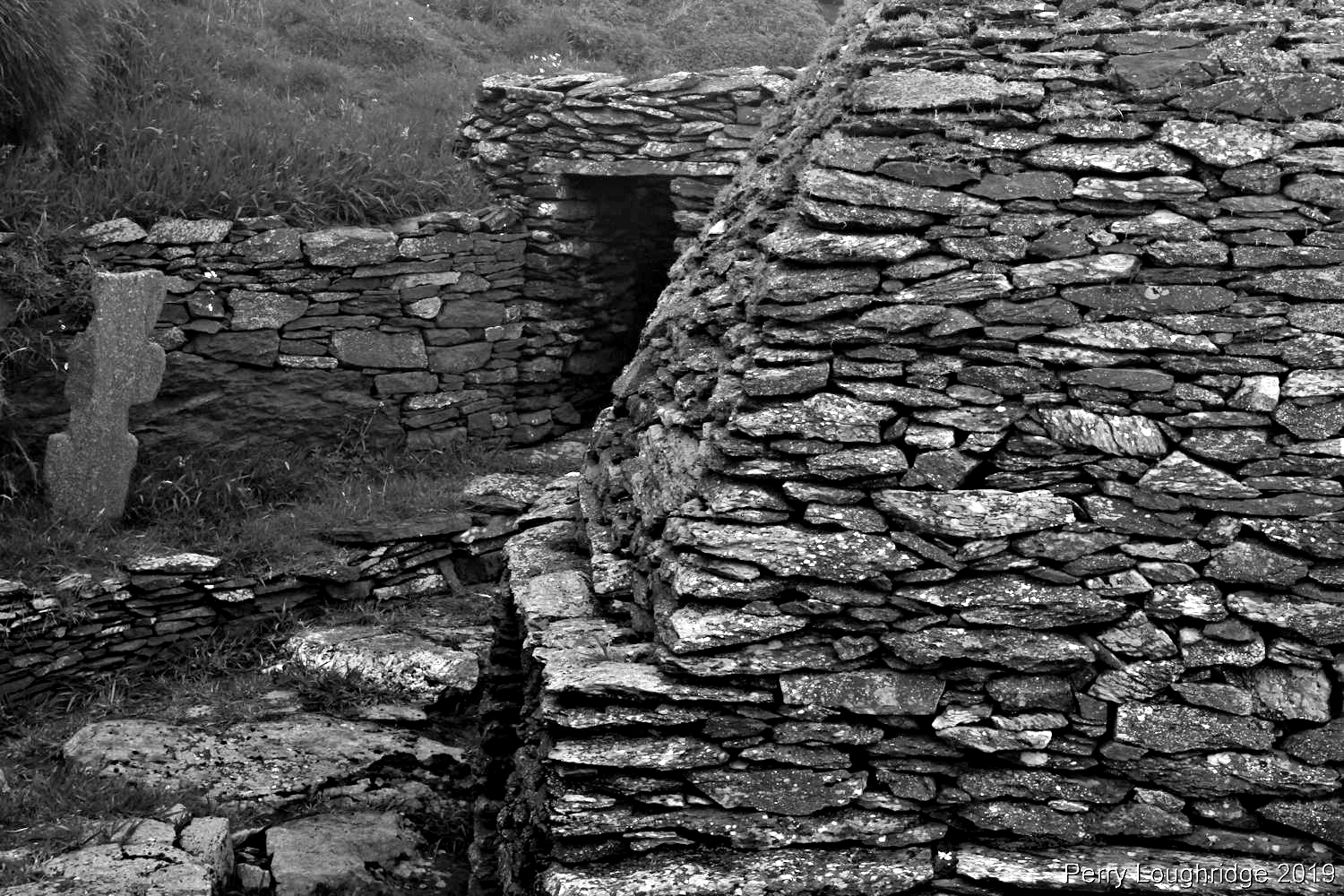
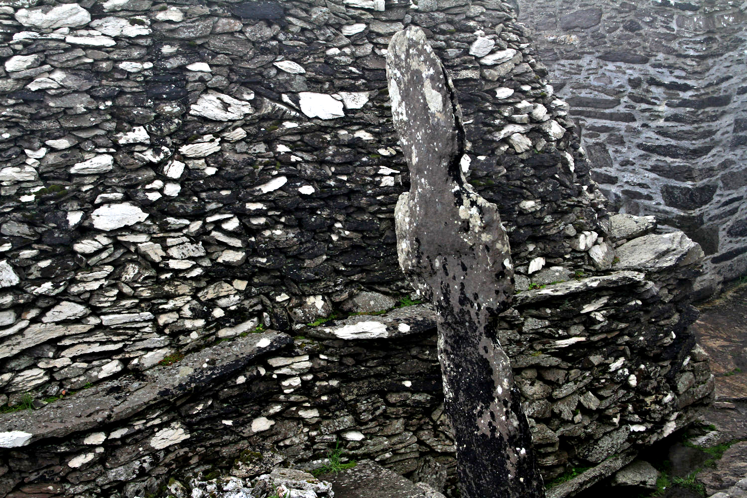
Six beehive huts can be found at the monastery. It’s believed these huts hosted 12 monks and an abbot.
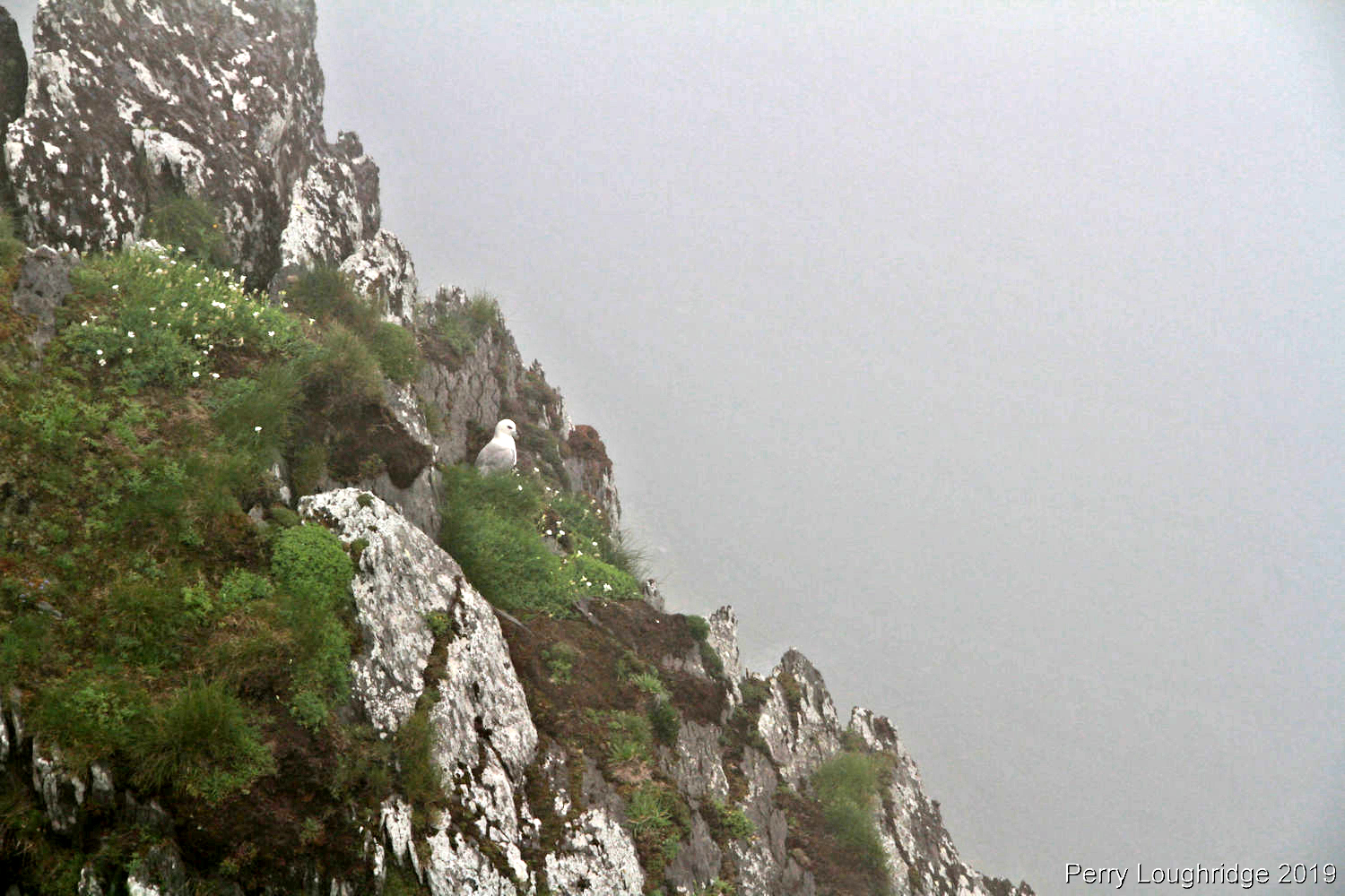
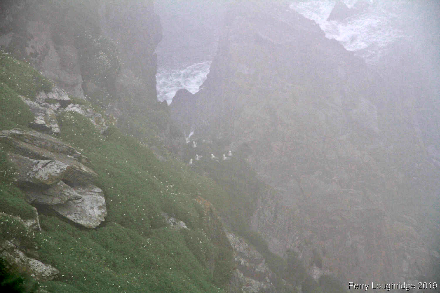
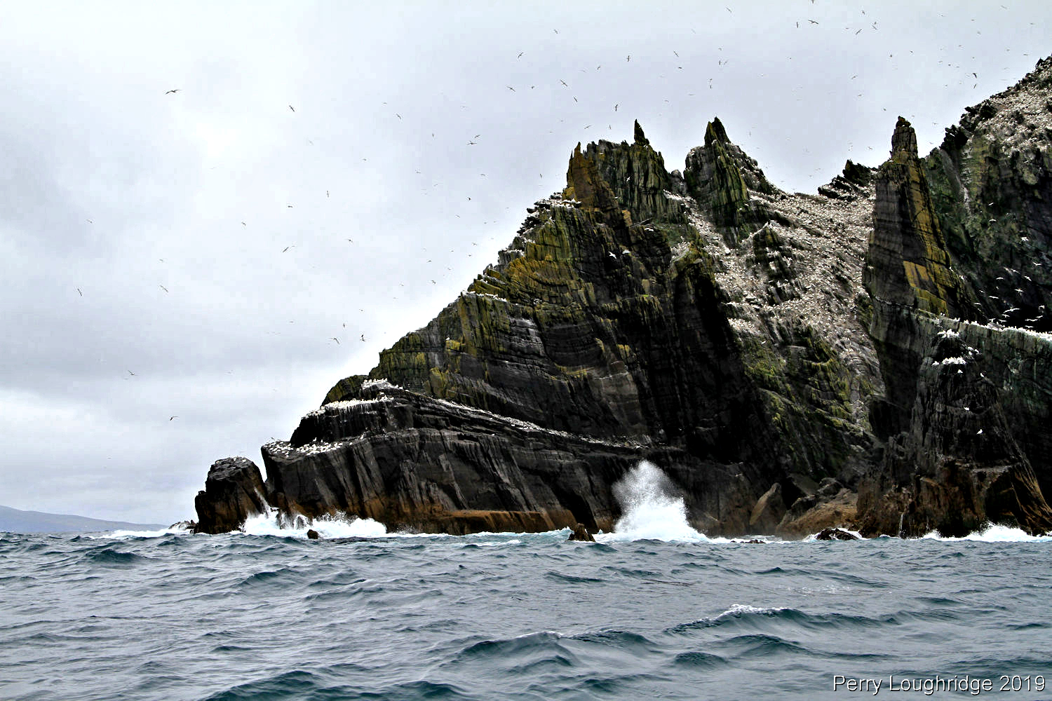
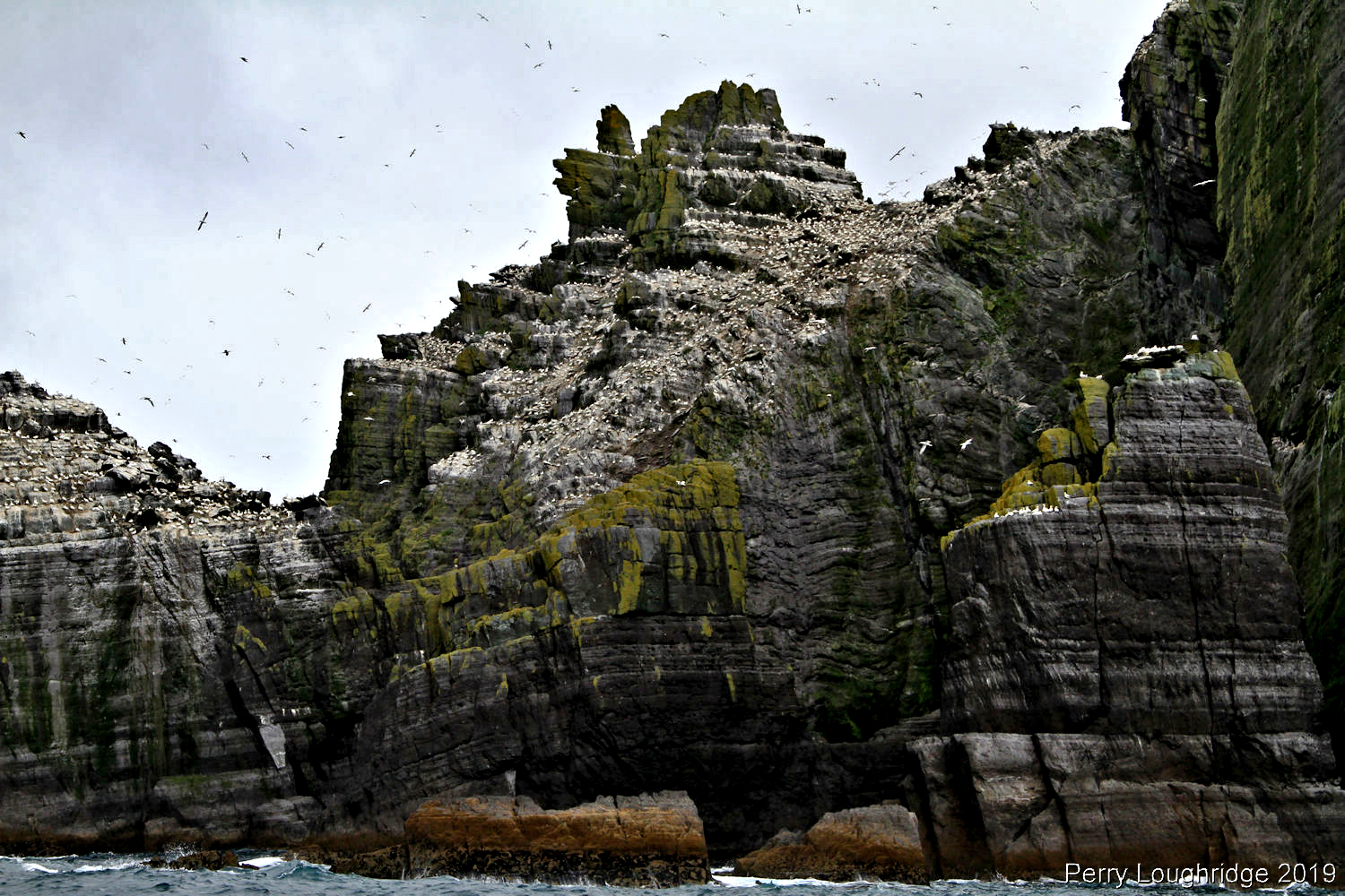
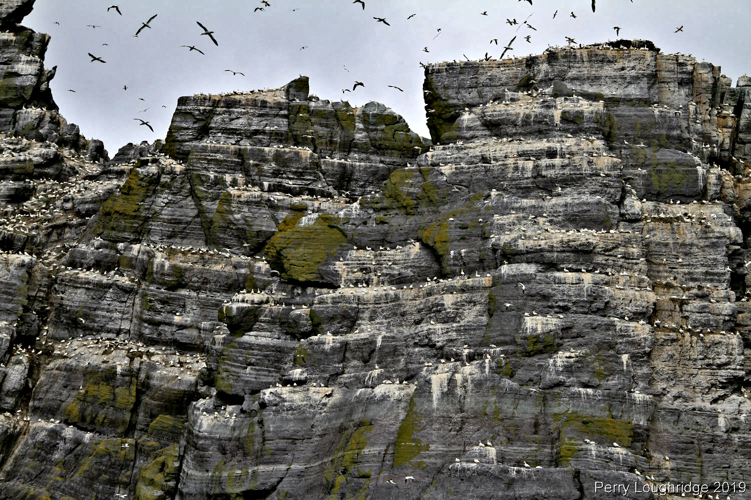
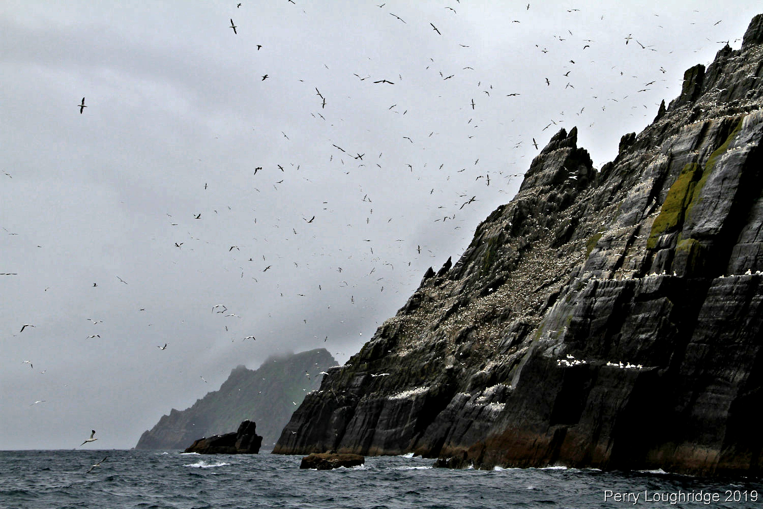
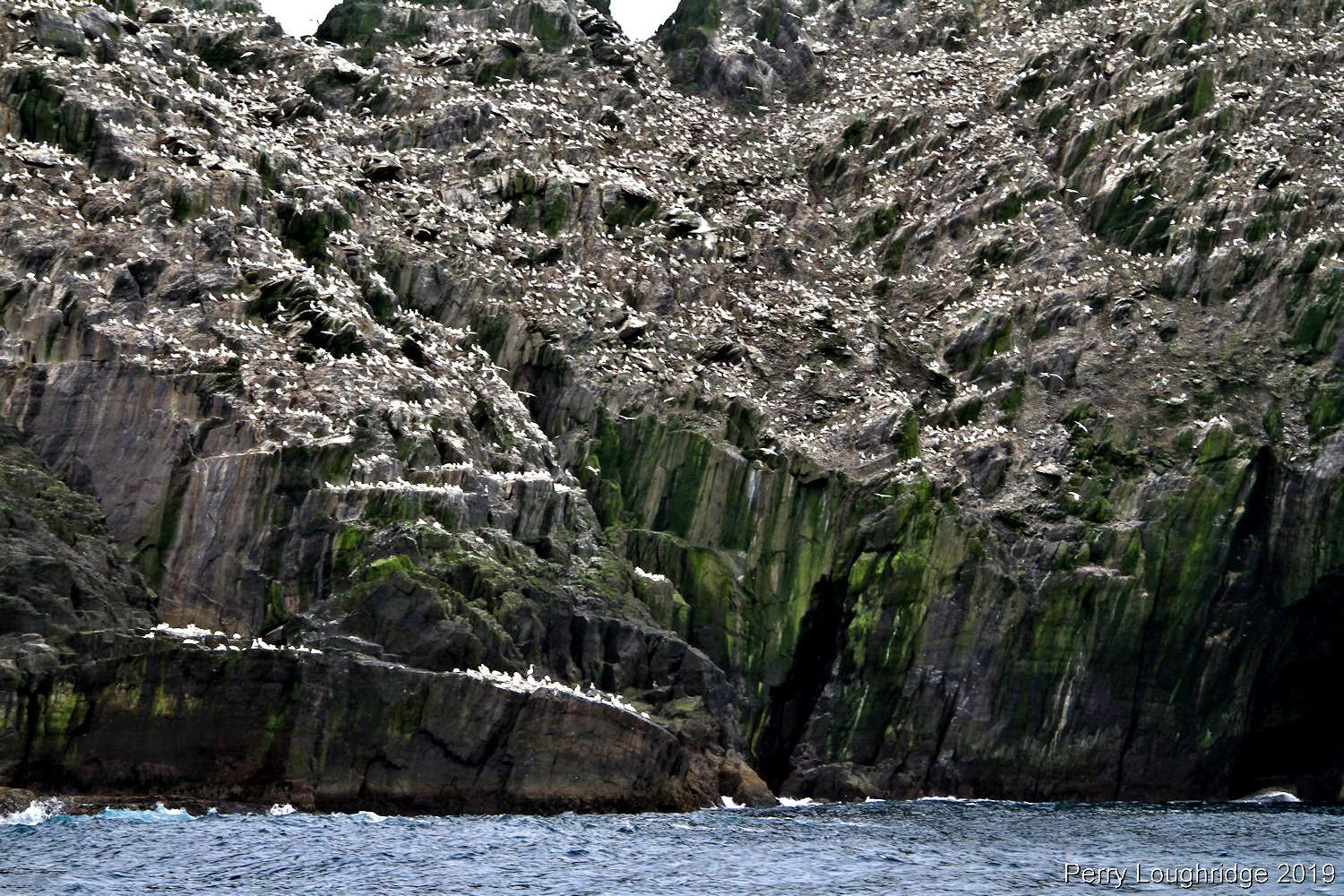
A bunch of sea birds can be found on the Skelligs. Some of the more well know are the Puffins ( they already left when I was there) and Gannets (up to a six ft wing span).
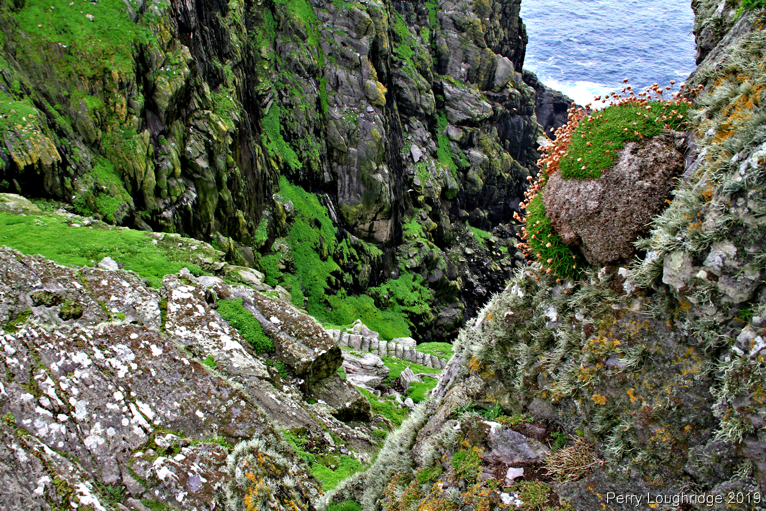
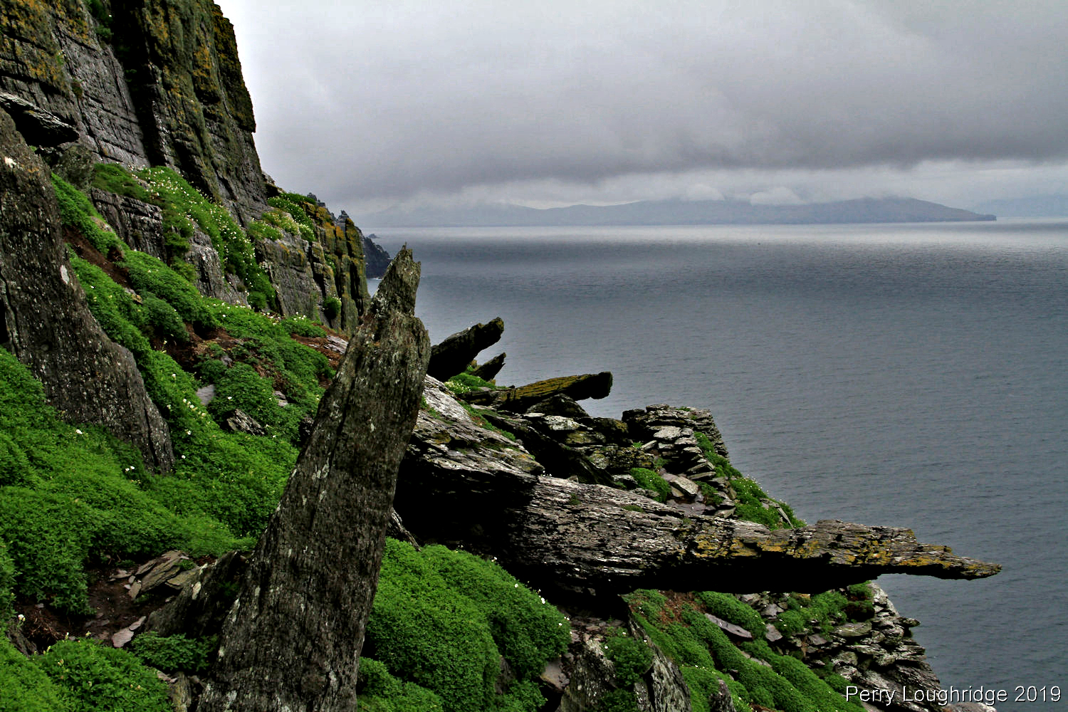
The fog/mist rolled across the Great Skellig while I was there, adding a wonderful feel.
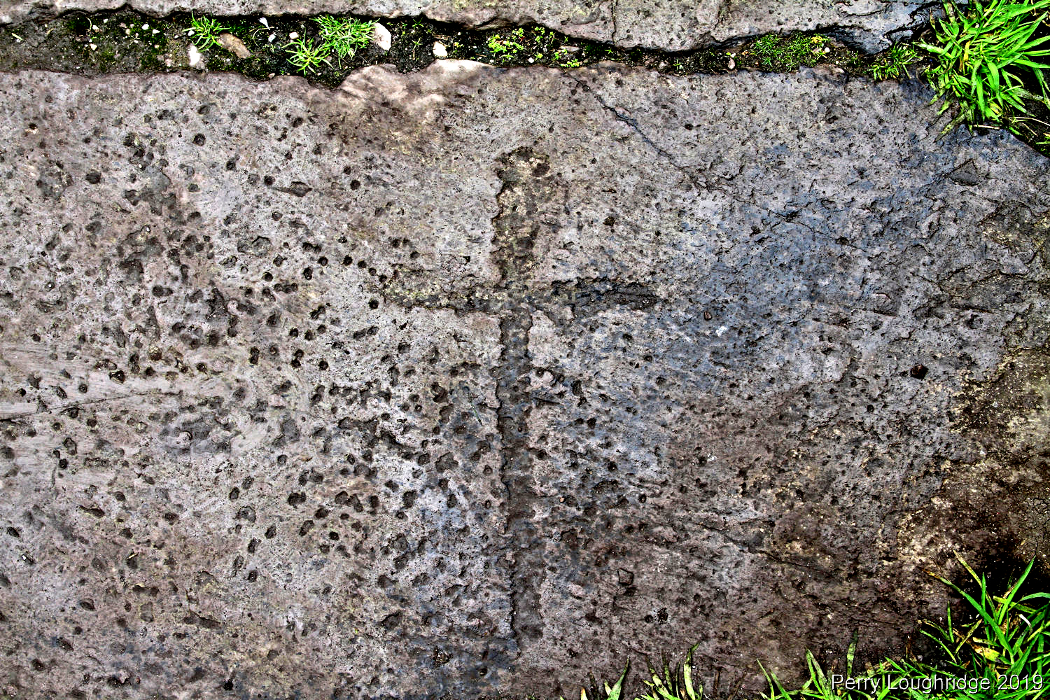
An east west walkway in the monastery. Each stone has a cross carved into it.
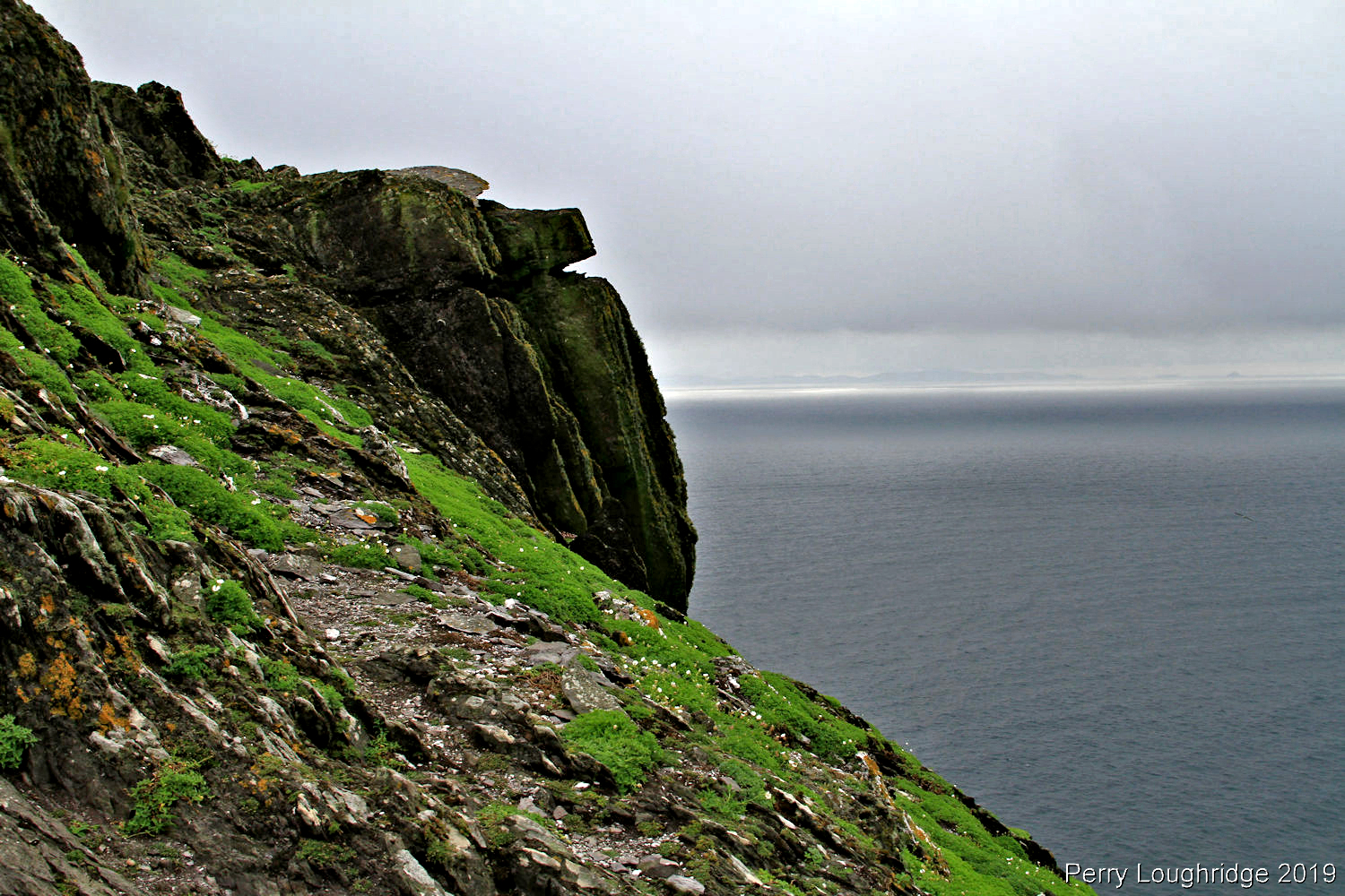
The big scary ocean.
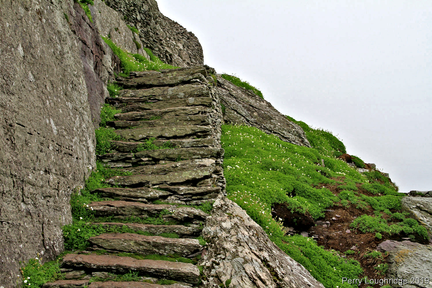
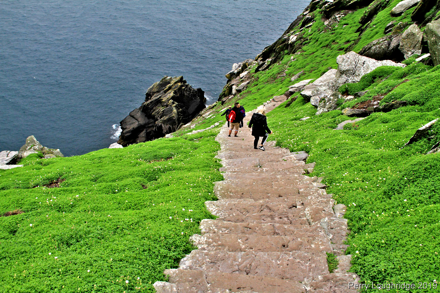
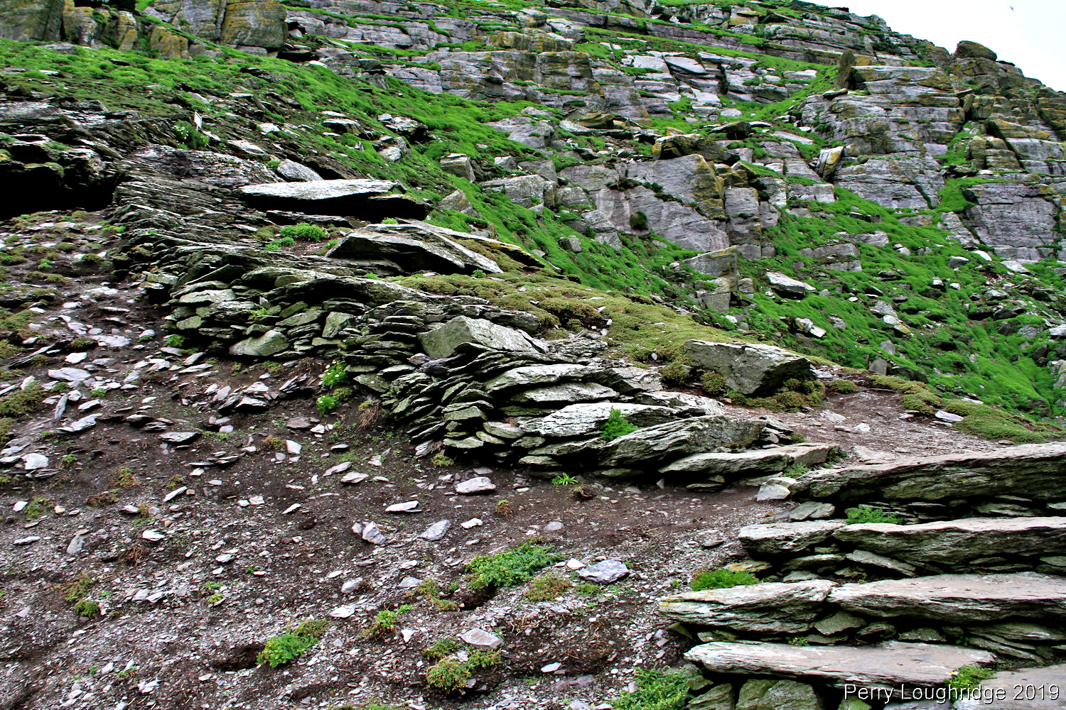
The monks made three different access points to the monastery. The main one used today has almost 600 medieval stone steps. A climb from the dock that takes about a half hour.
More of the stone steps.
A steep climb up and down the steps.
The “Wailing Woman” and Little Skellig.
Back at the harbor.
More steps.
Making our way to Little Skellig.
Birds. Lots and lots of Sea Birds.
Great Skellig in the distance.
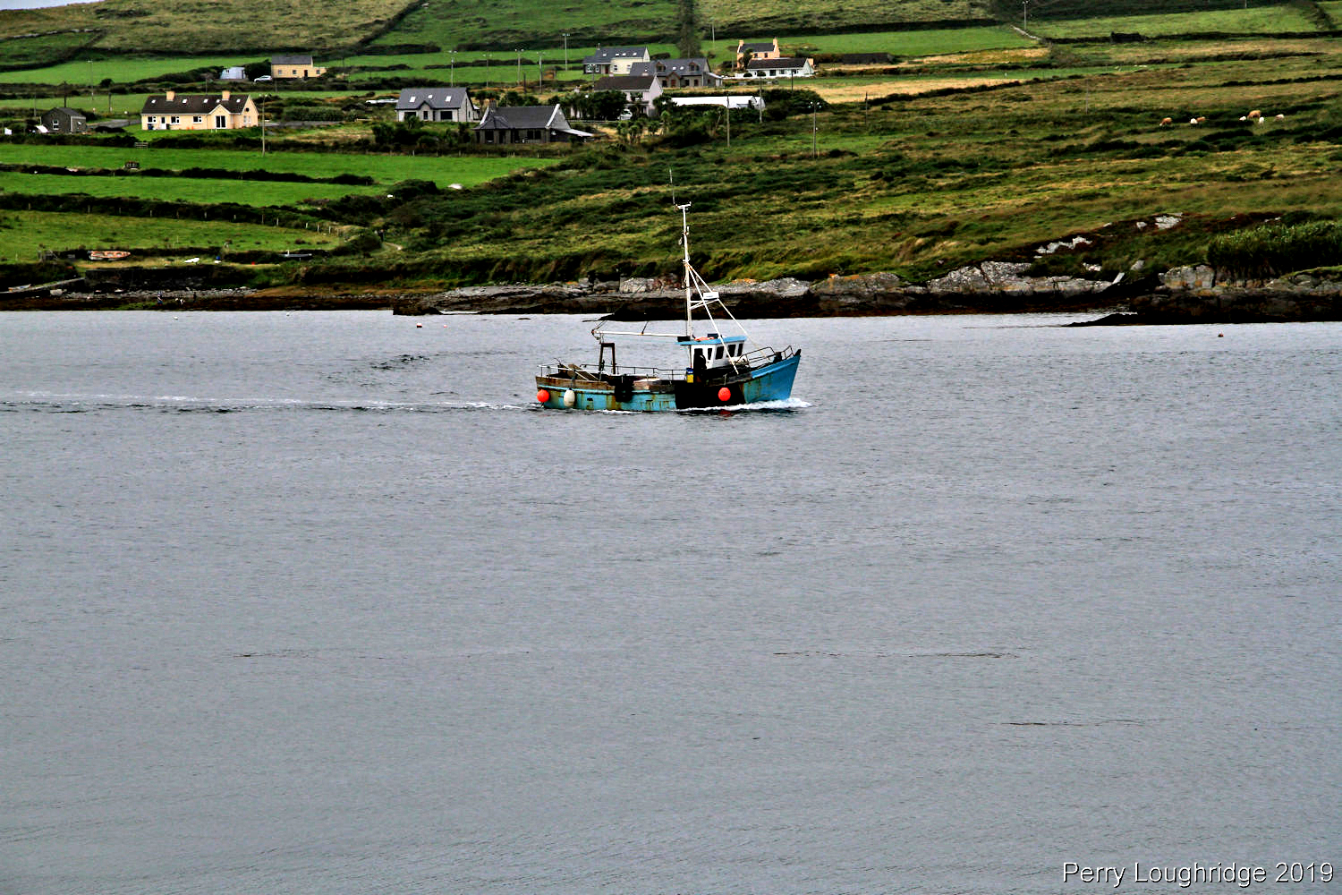
Views around the boat as we made out way back to the harbor at Portmagee.
Portmagee harbor.
Portmagee. I took a liking to this little village. The name of the town coming from a notorious smuggler from the 18th century.
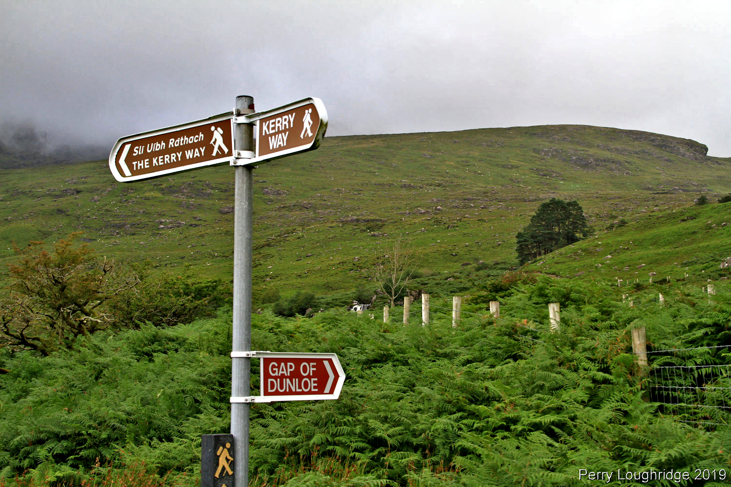
The Gap of Dunloe, located in CO Kerry, is a narrow north-south mountain pass separating MacGillycuddy’s Reeks mountain range to the west and the Purple Mountain Group range to the east. It’s a very popular spot due to the scenery.
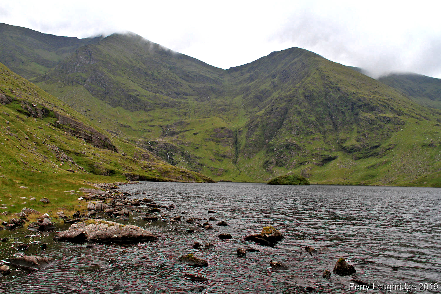
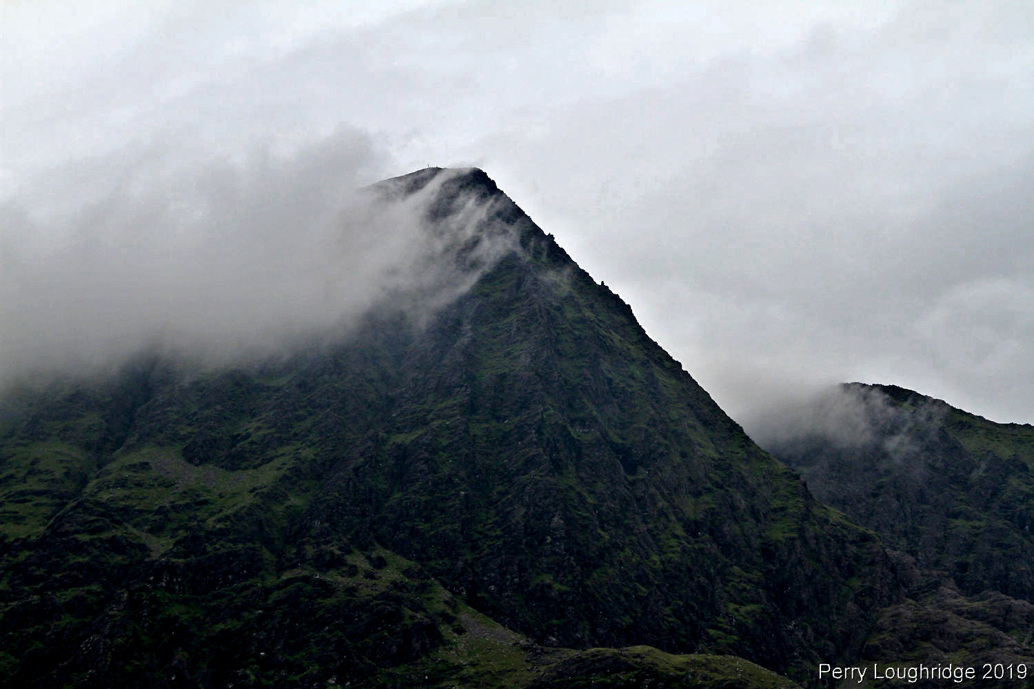
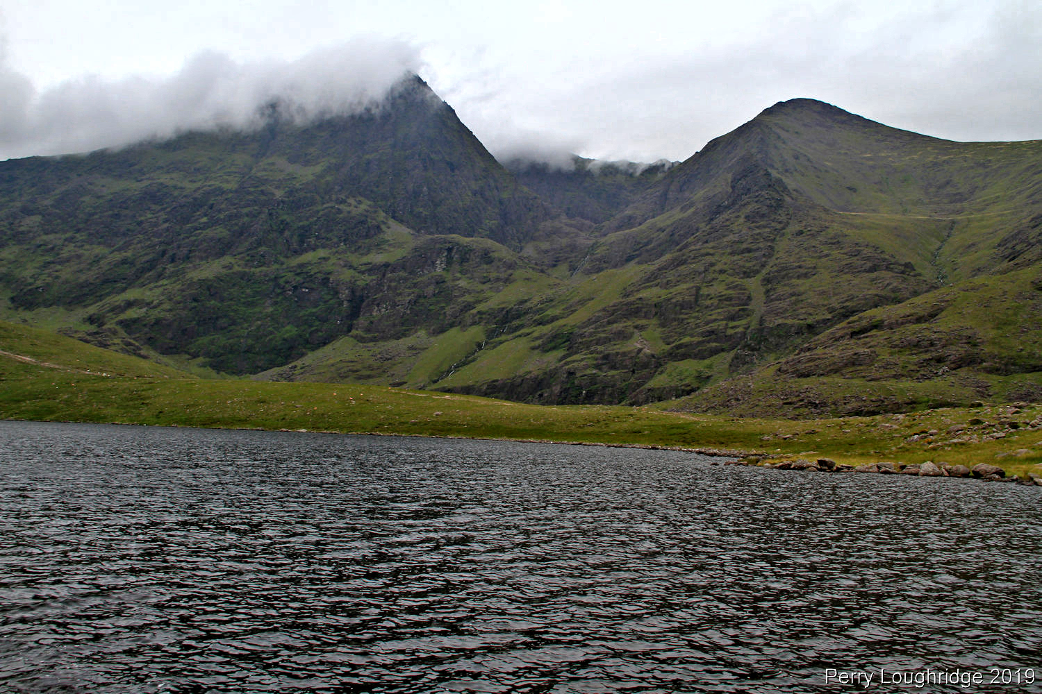
The central peak of the MacGillycuddy’s Reaks, Carrauntoohil is Irelands highest peak at 1,039 meters (3,407ft). Carrauntoohil is located in CO Kerry, Ireland.
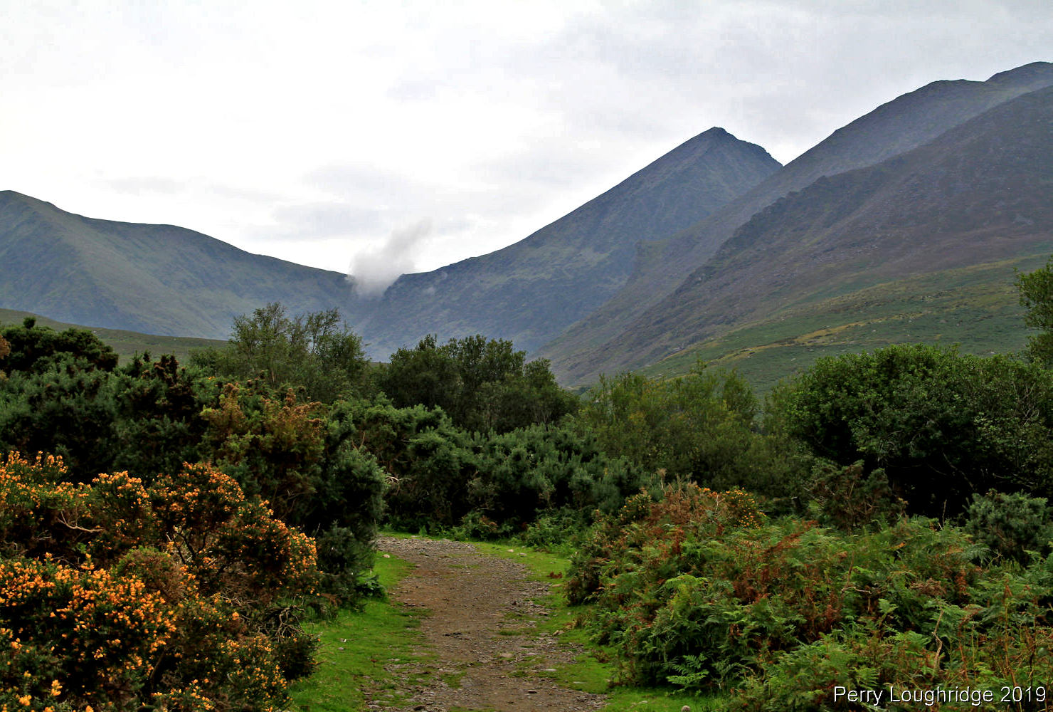
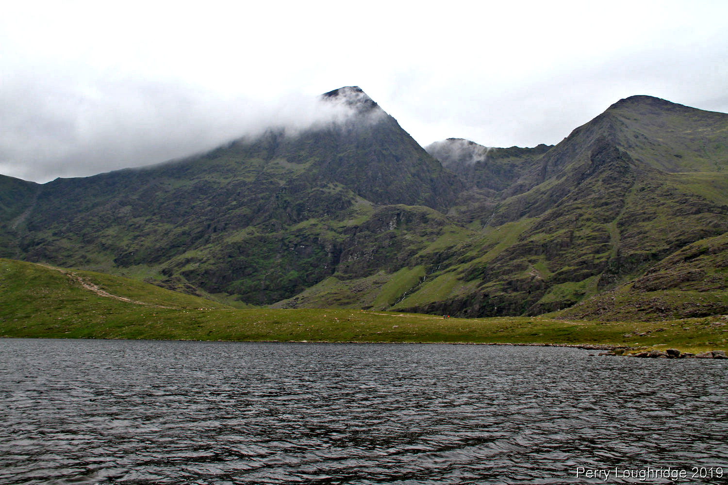
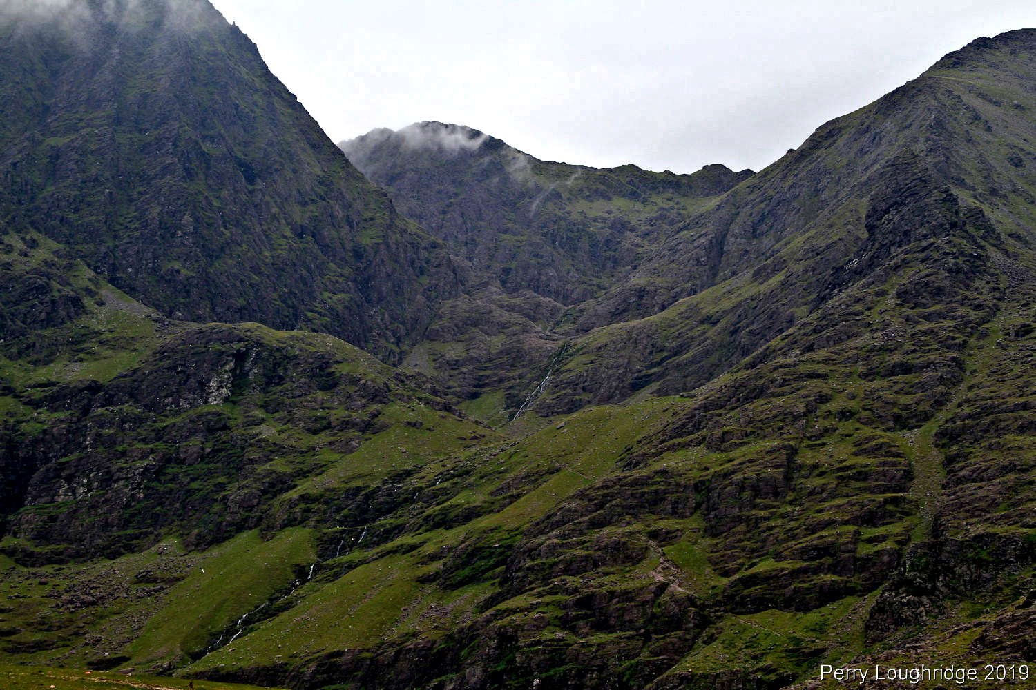
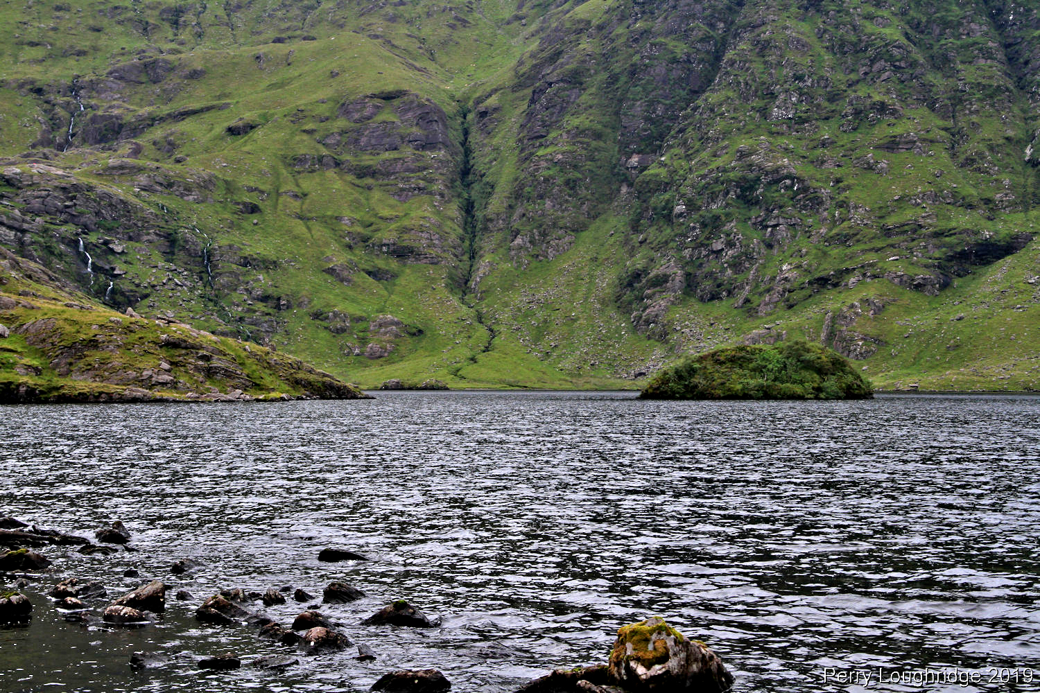
First views of Carrauntoohil after leaving Cronin’s Yard.
Looking back towards Cronin’s Yard.
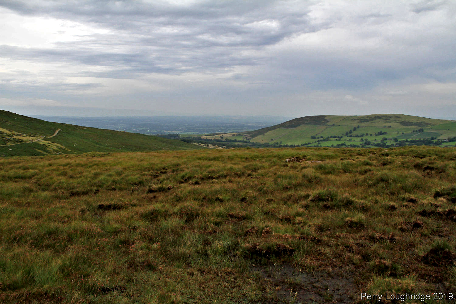
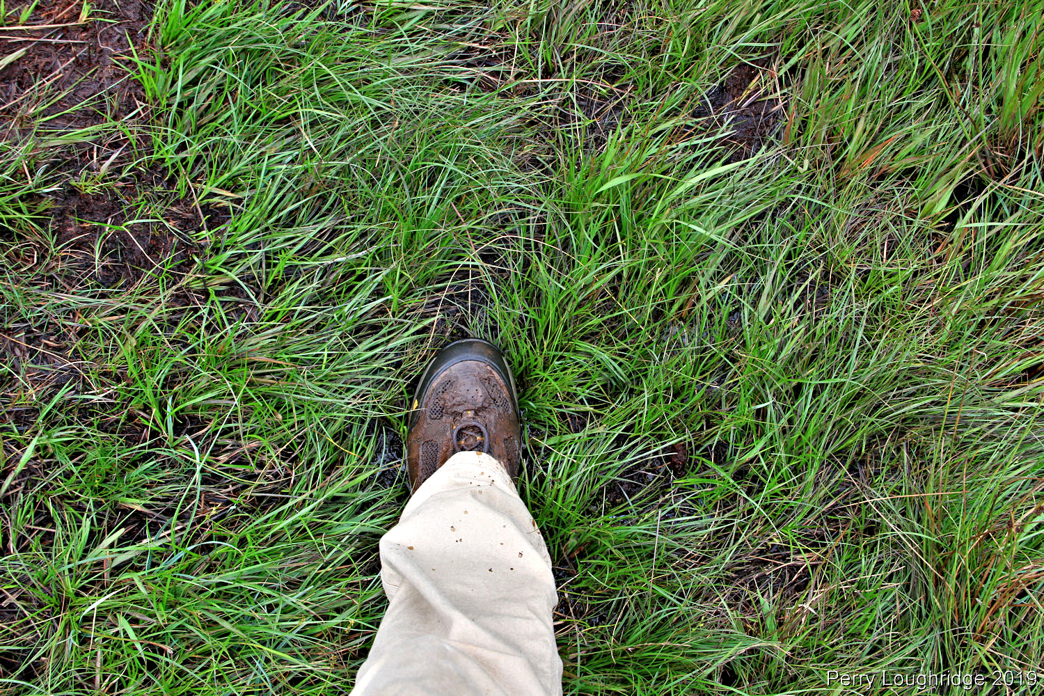
I took the loop trail from Cronin’s Yard. Part of it goes through the grass/marsh. Quite muddy in places.
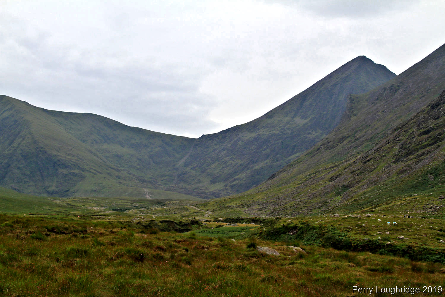
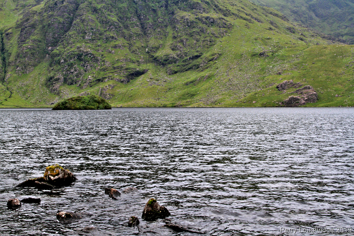
Lough Callee.
Carrauntoohil. I decided against making the climb to the top, being that i’m still a bit out of shape (could have been a bit more active this summer….).
A nice spot along the lough for a rest.
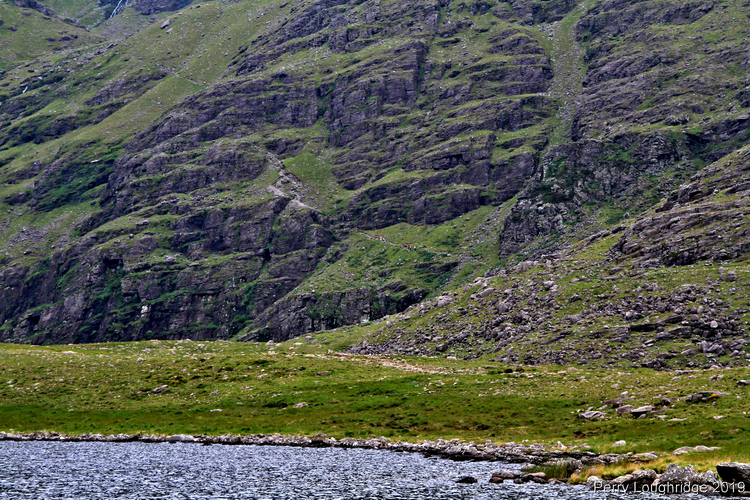
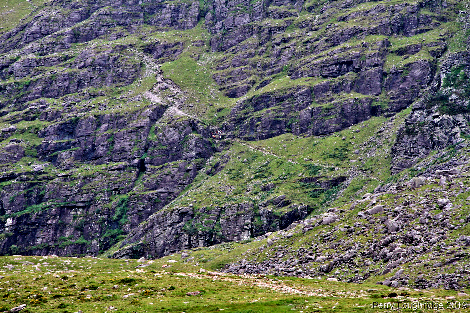
Watched these hikers for a bit.
Looking back at Carrauntoohil while heading back to Cronin’s Yard and the vehicle.
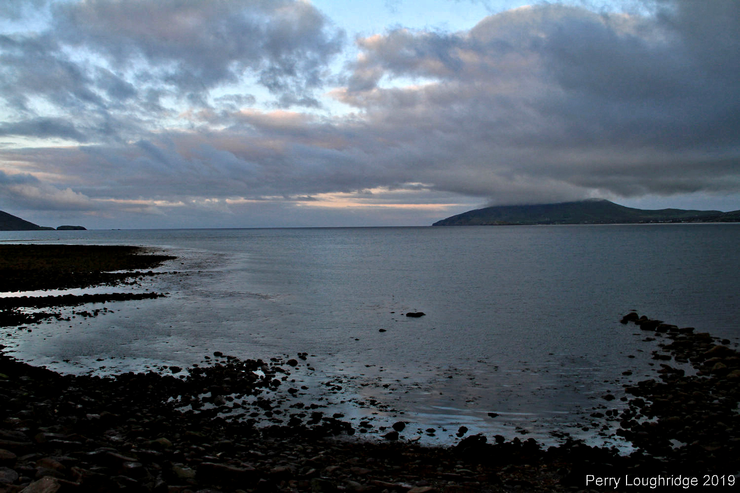
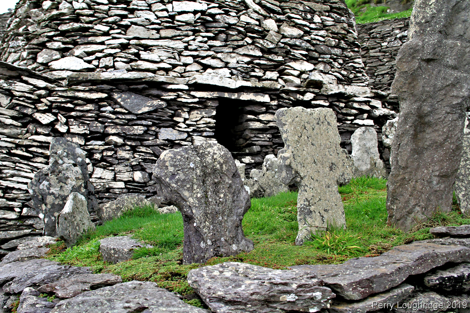
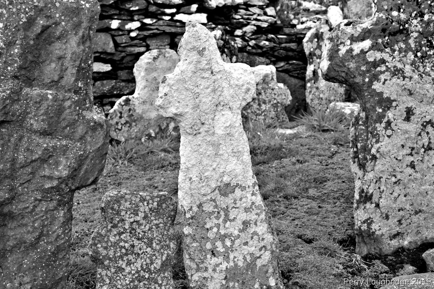
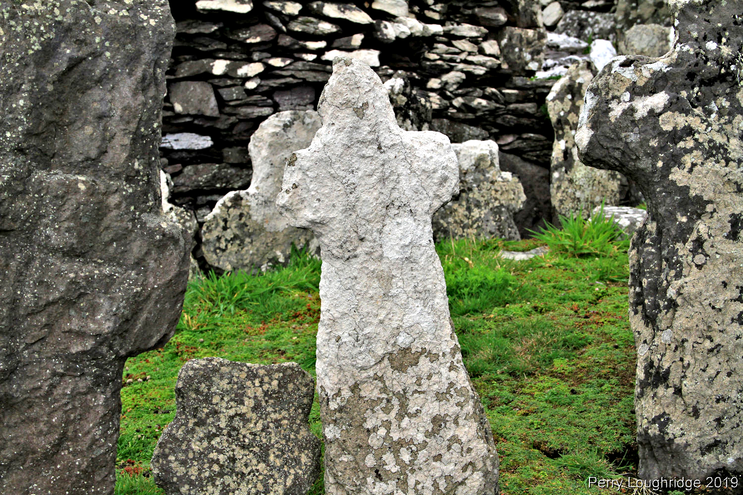
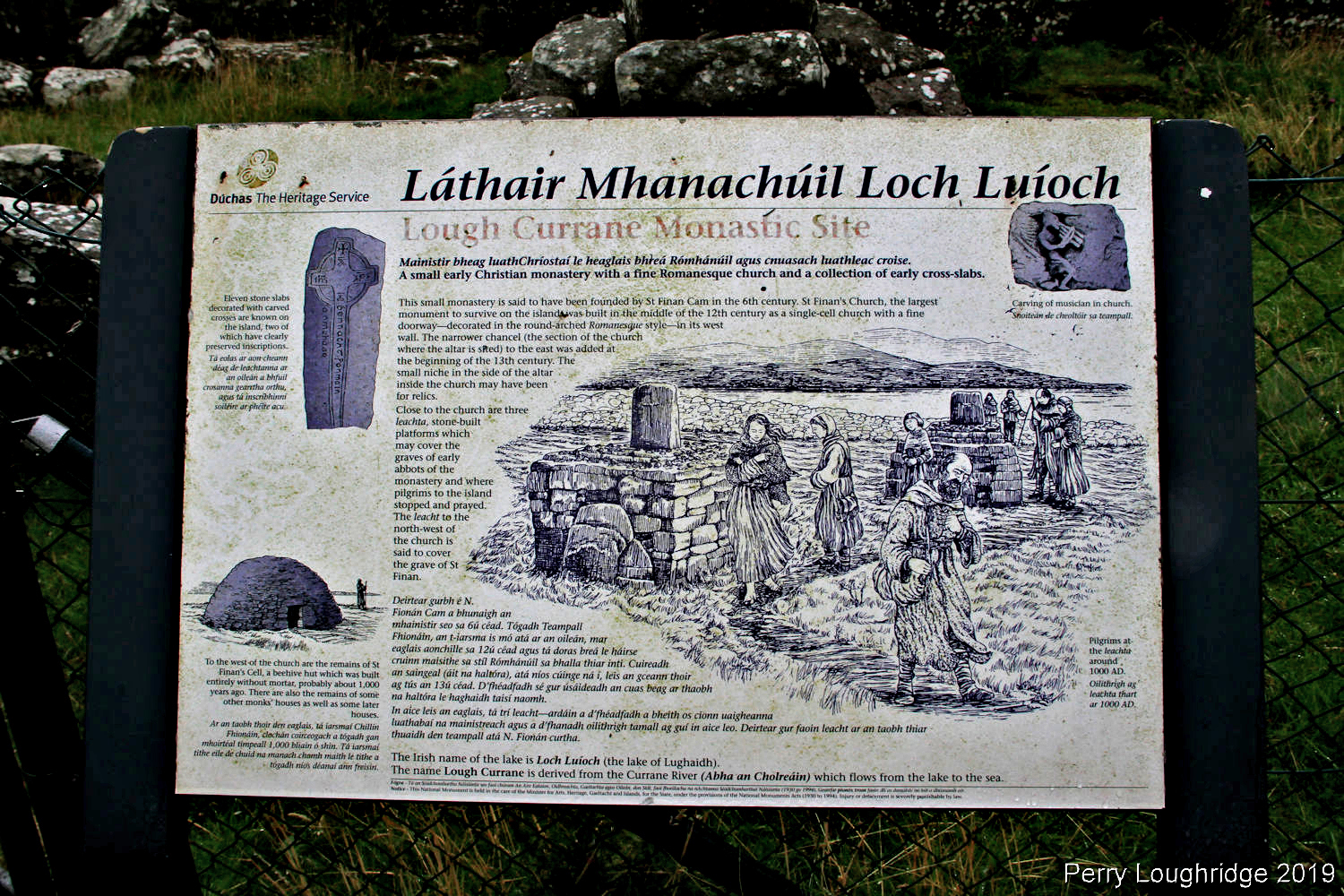
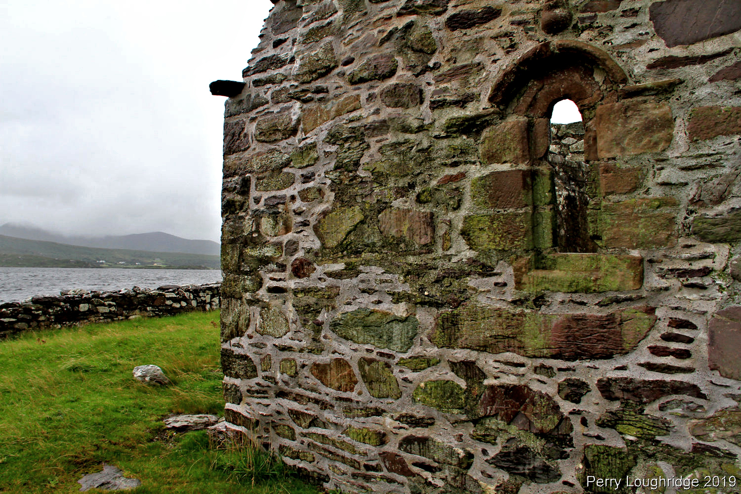
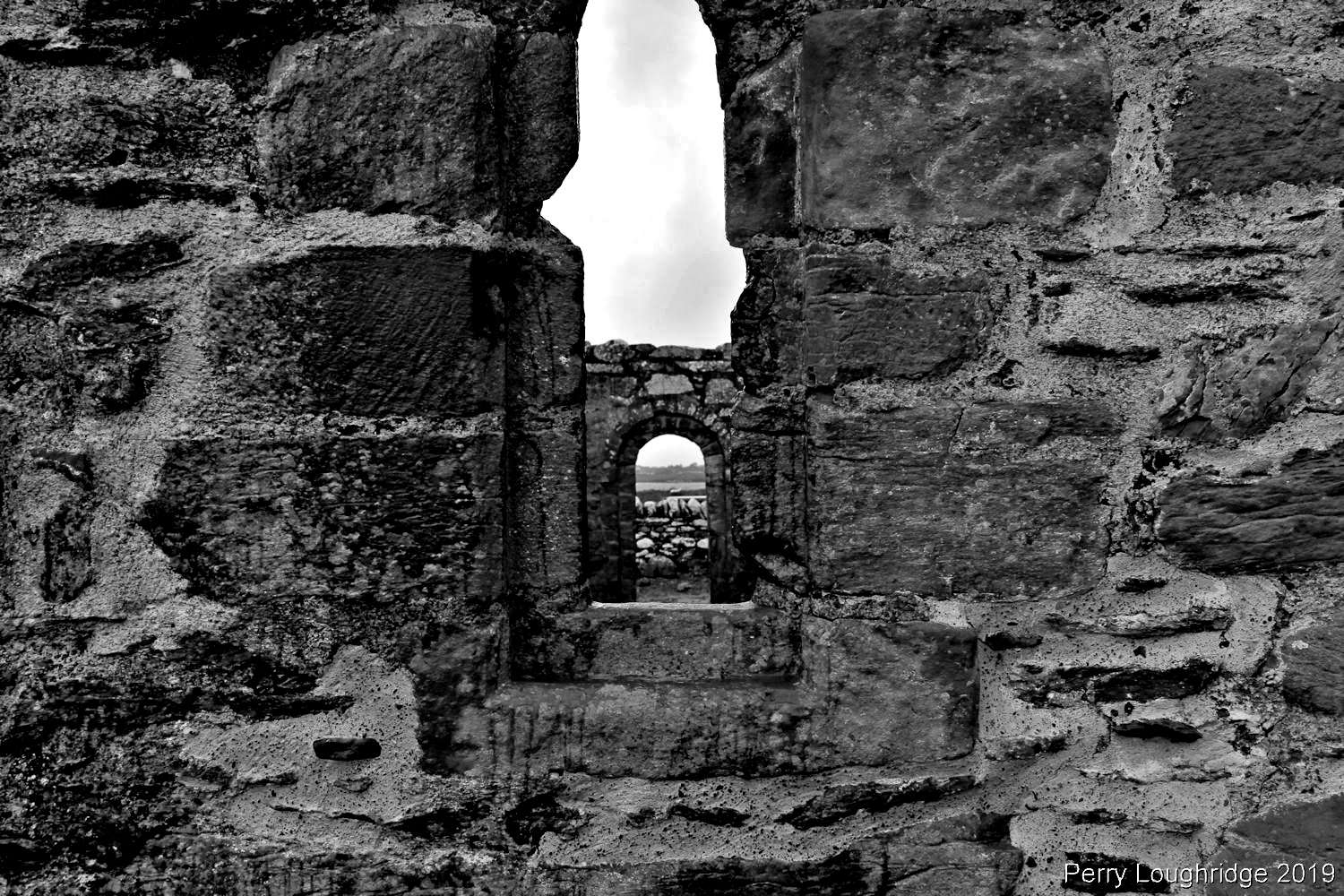
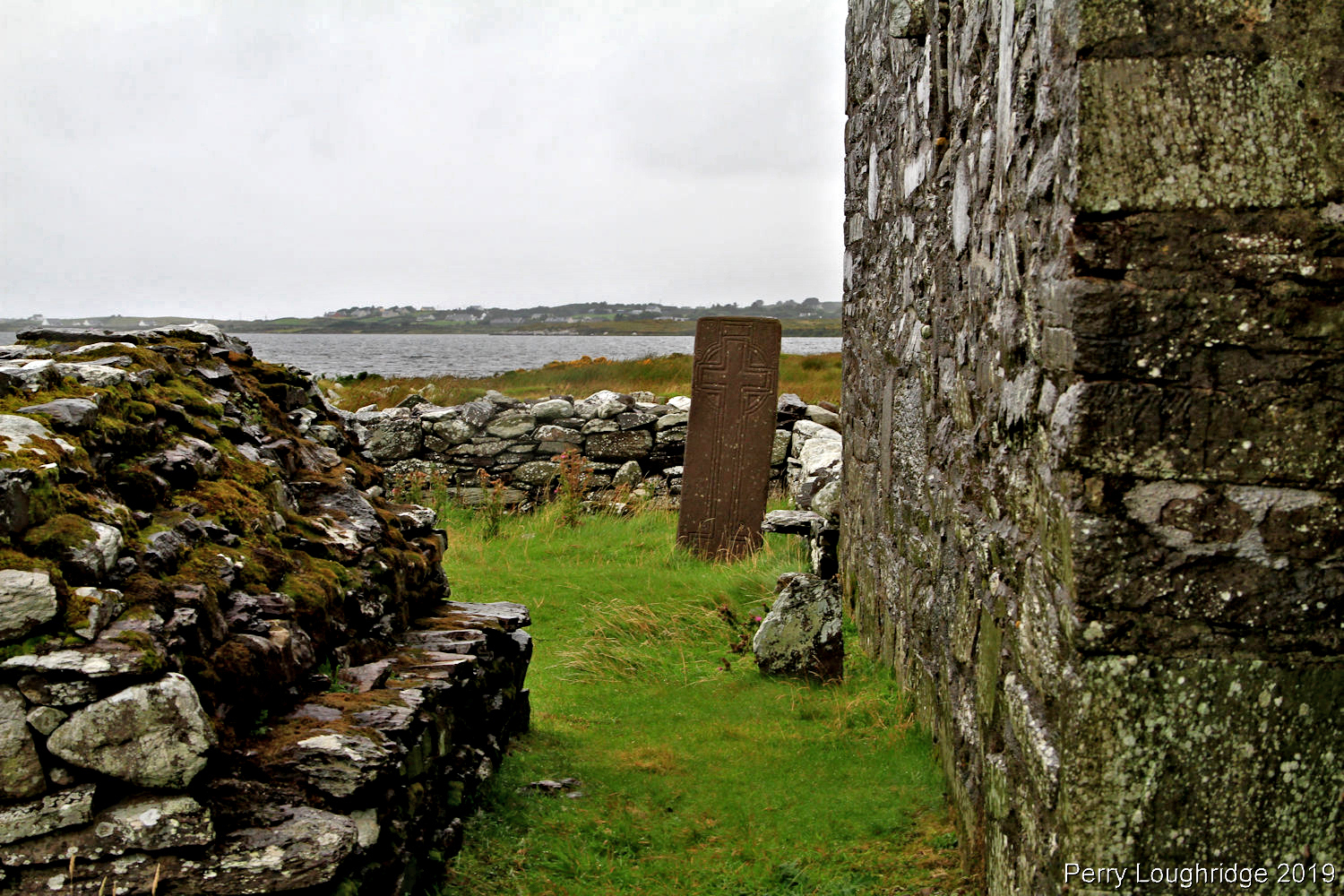
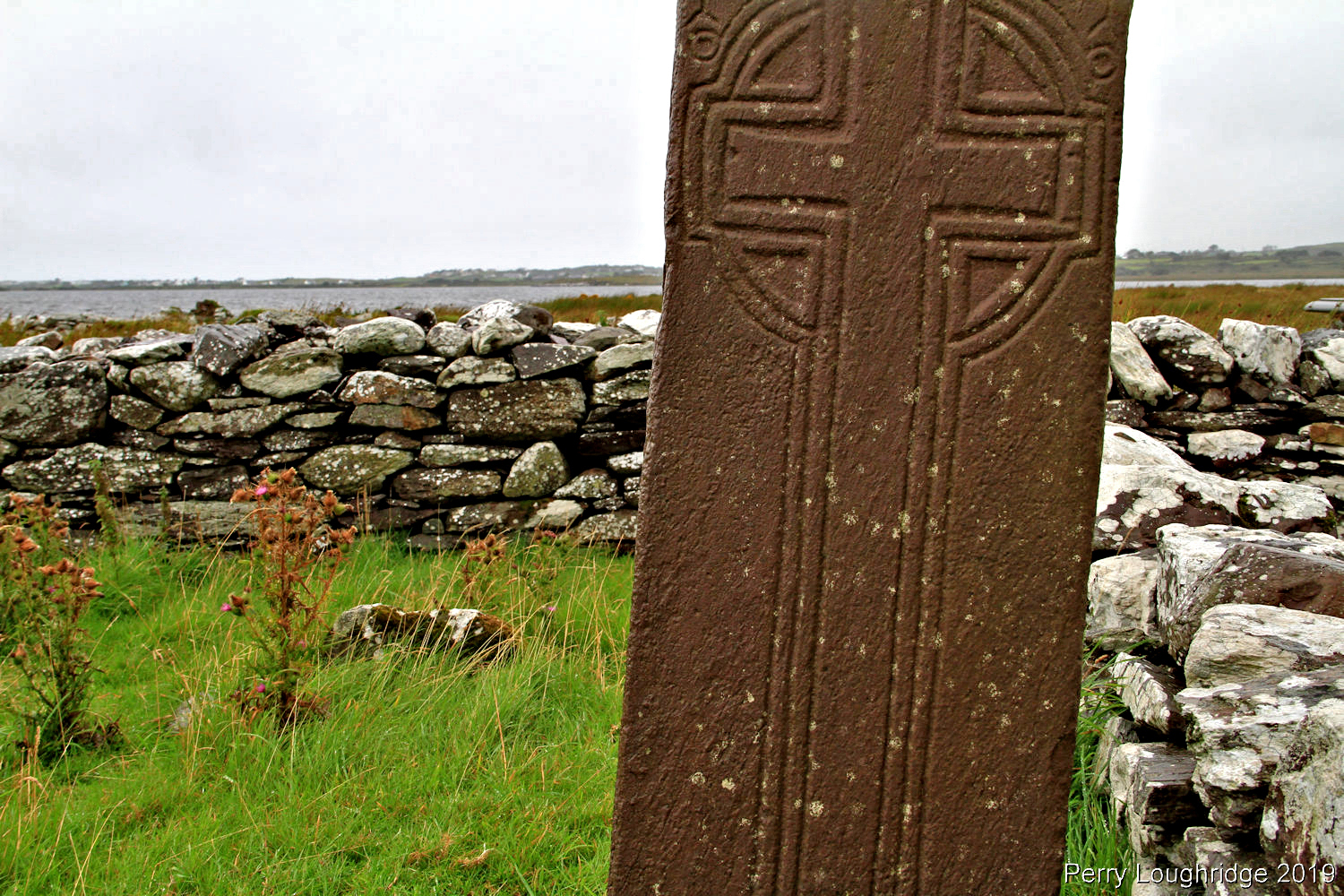
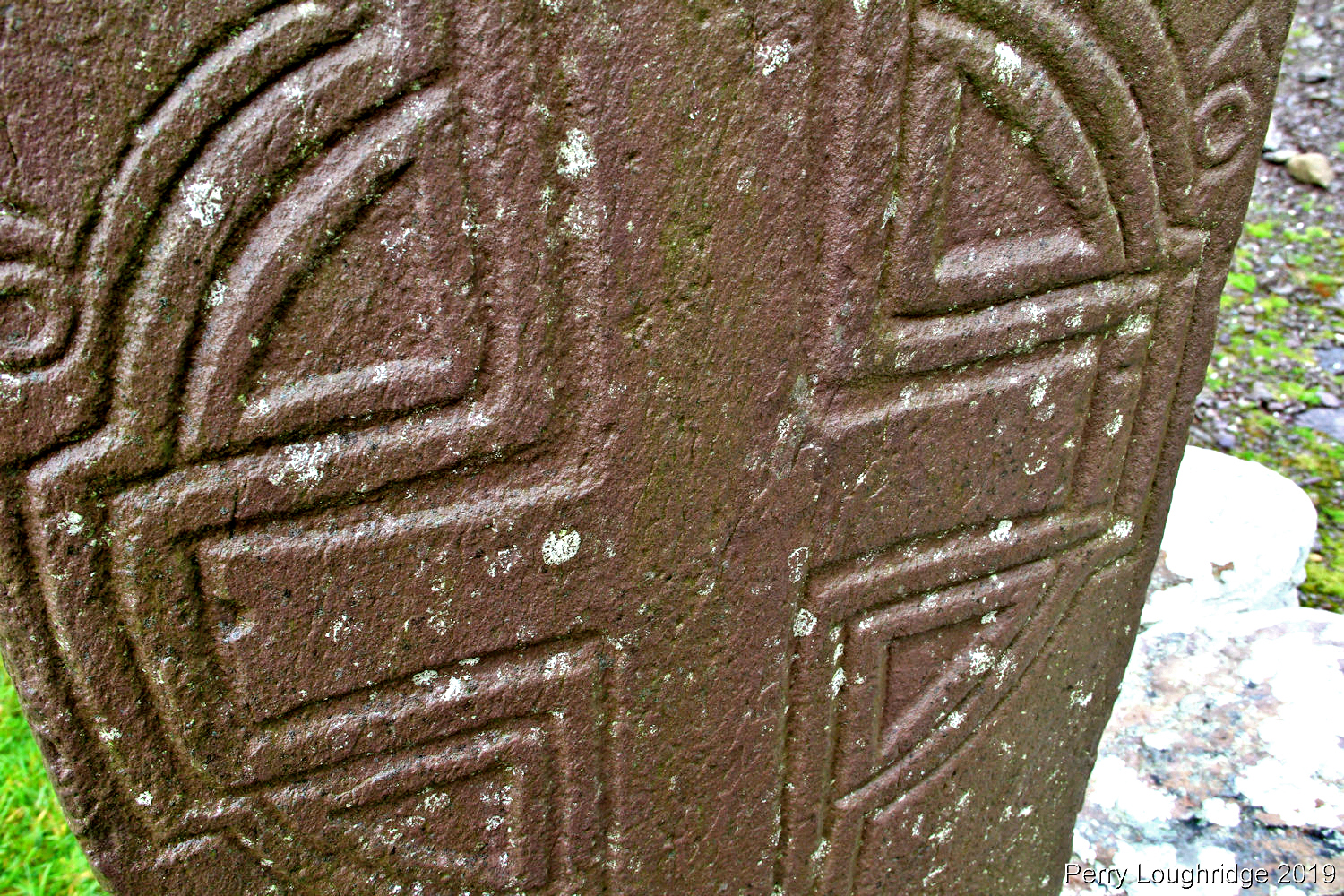
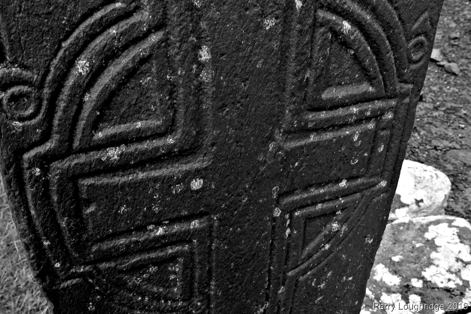
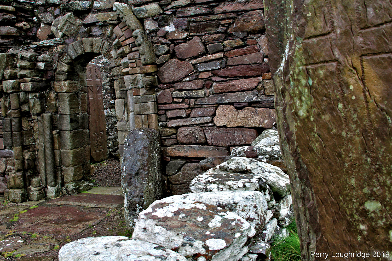
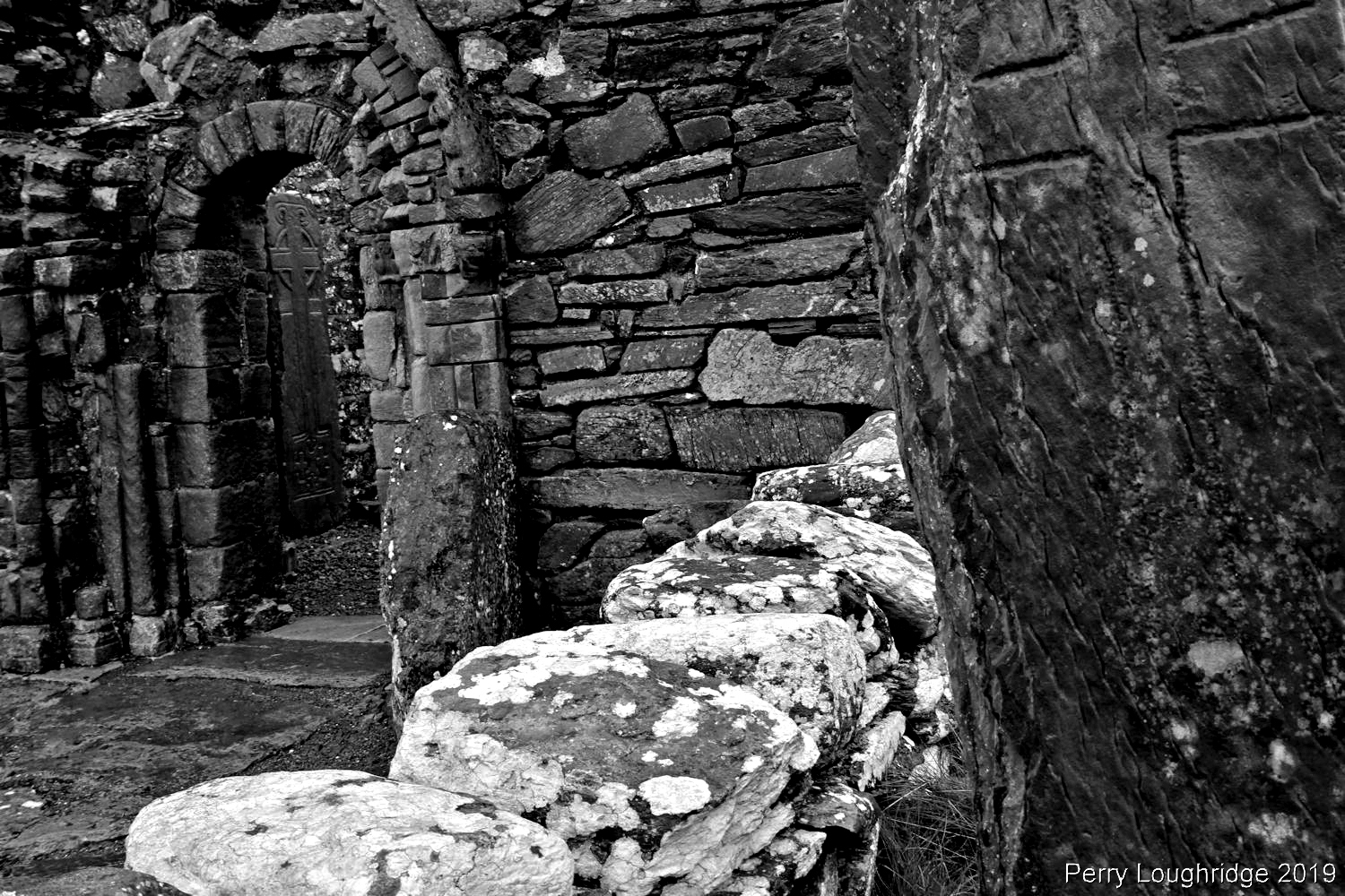
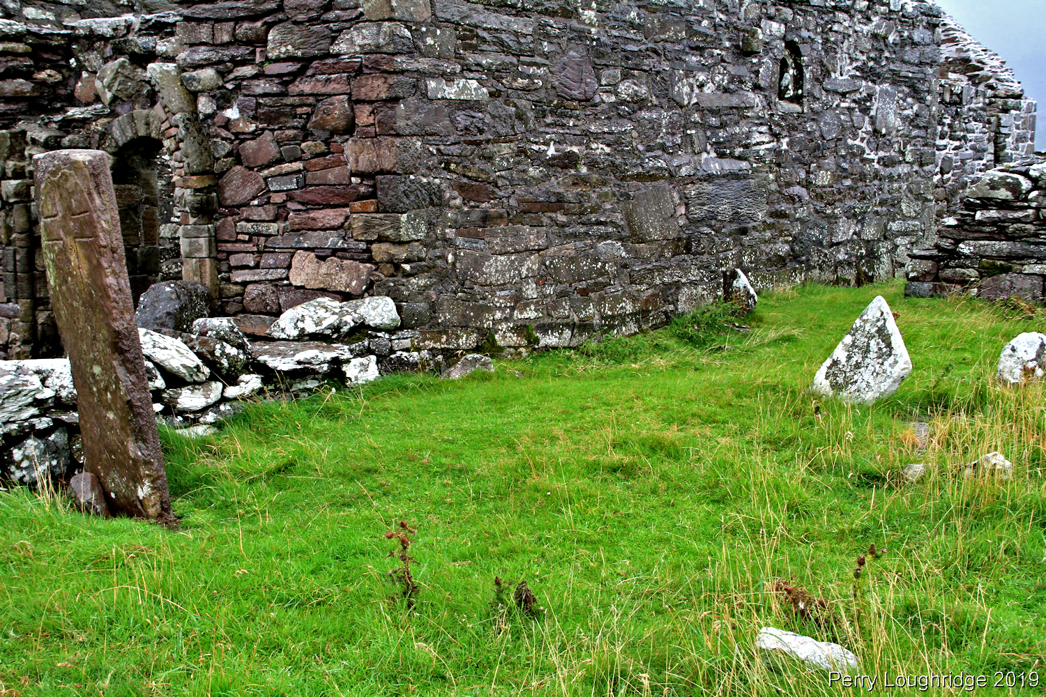
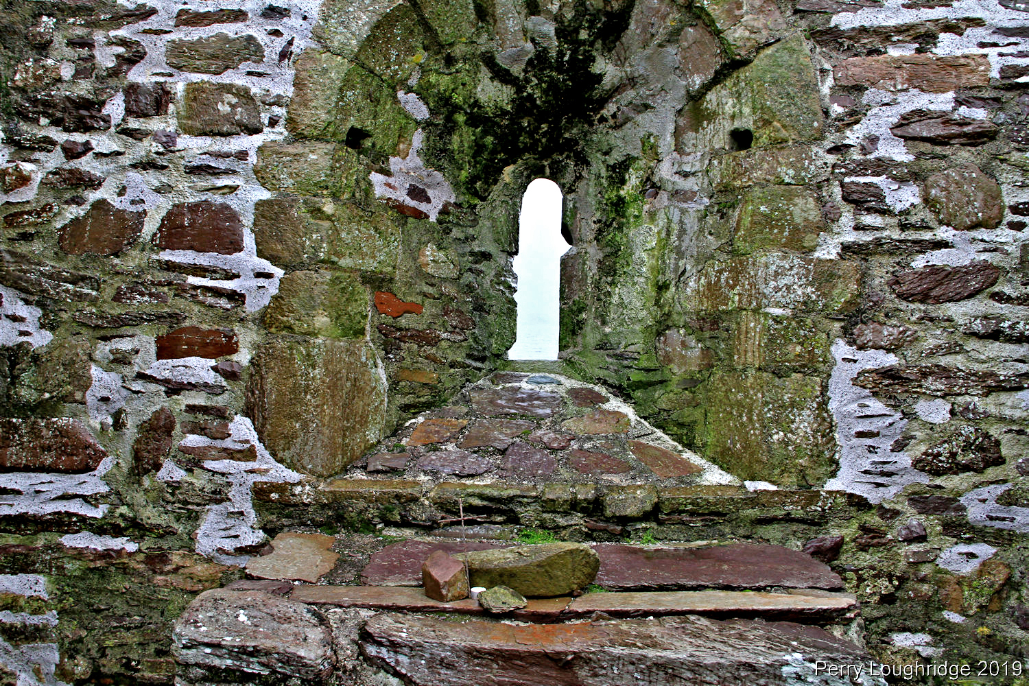
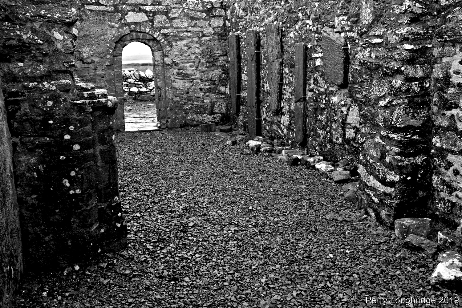
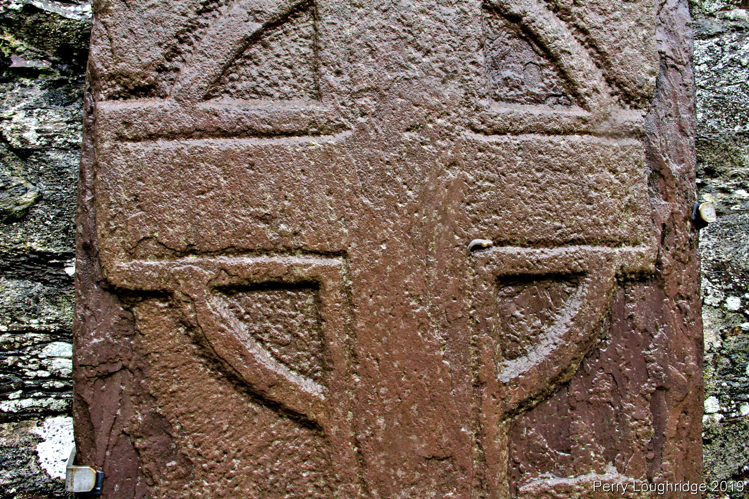
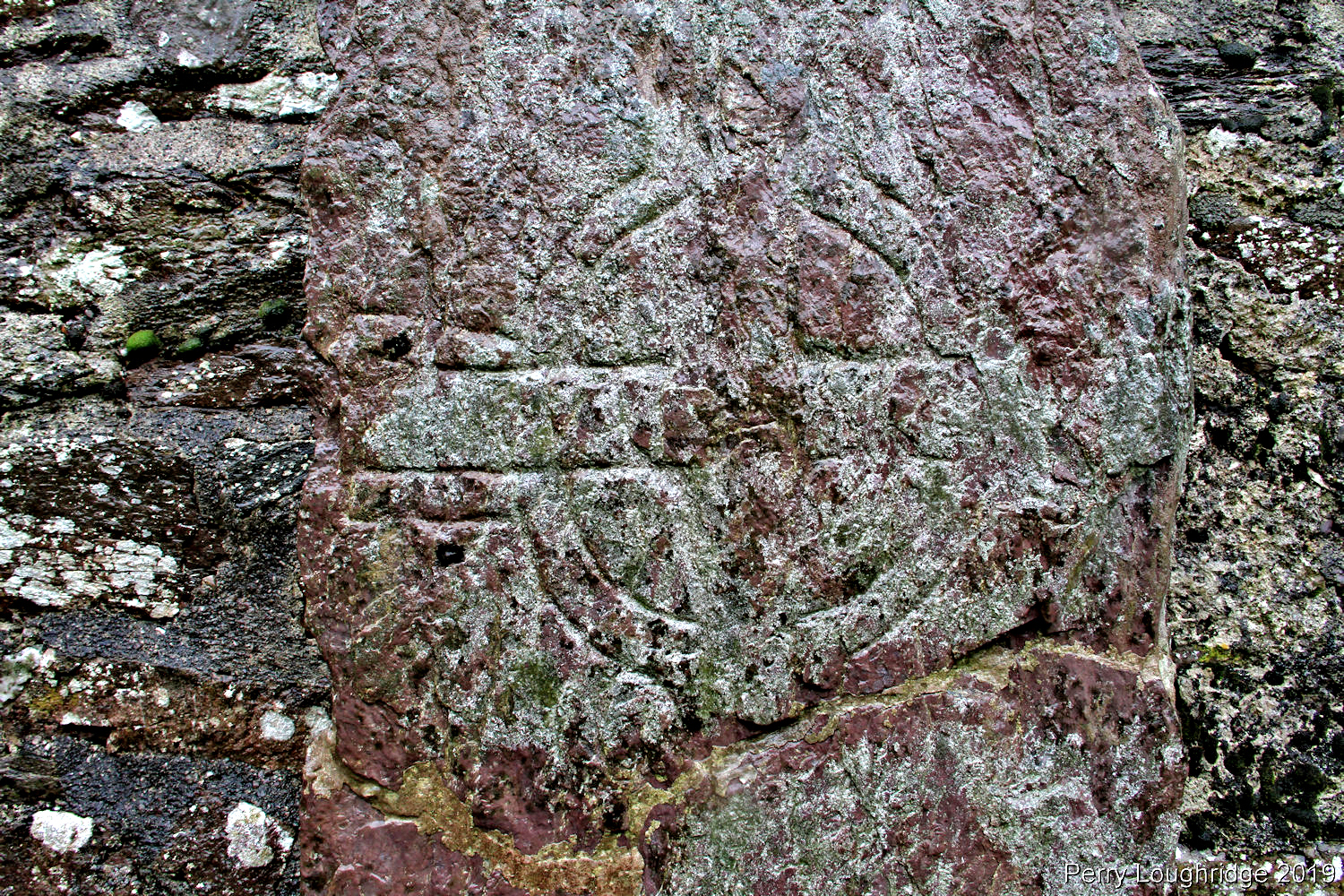
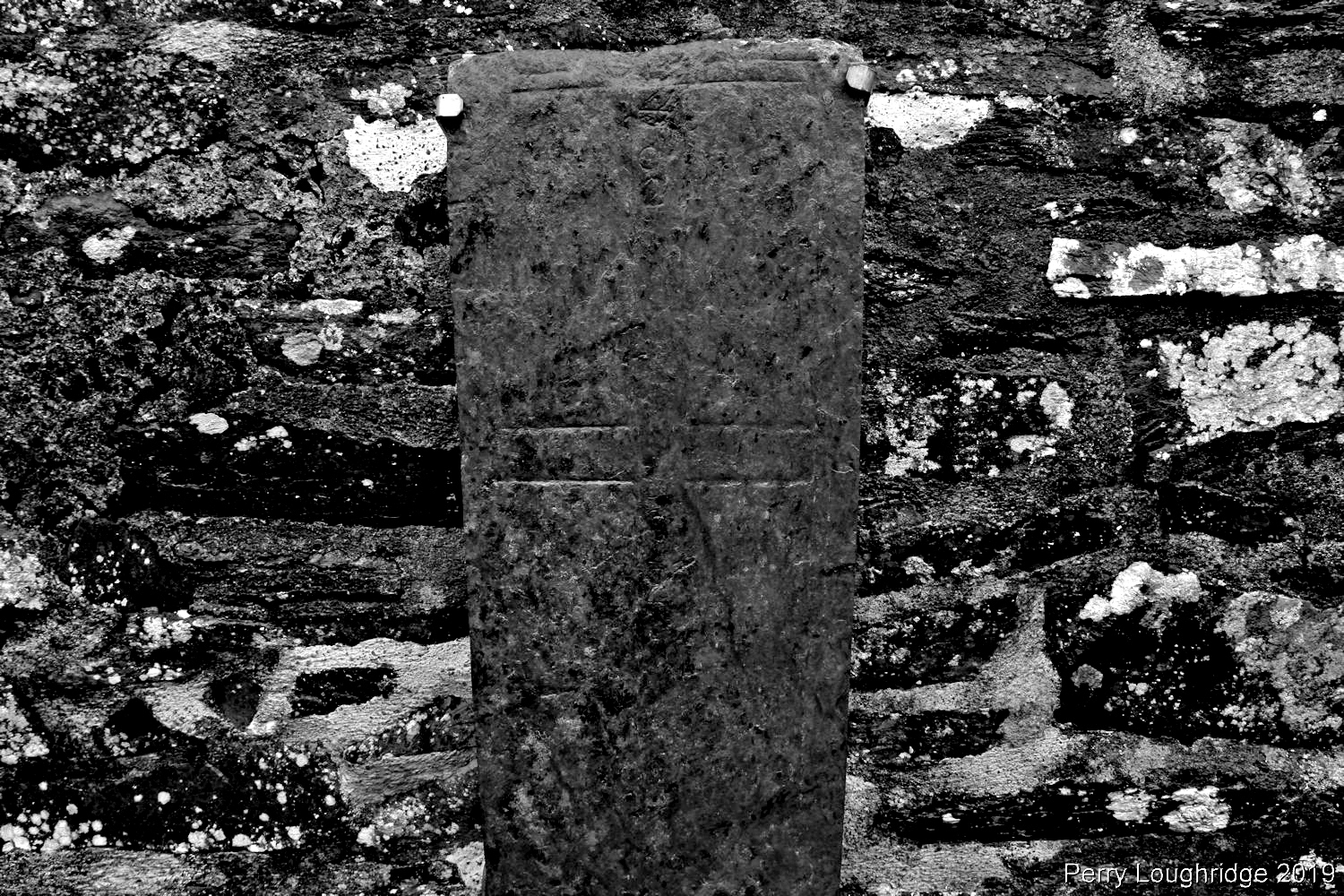
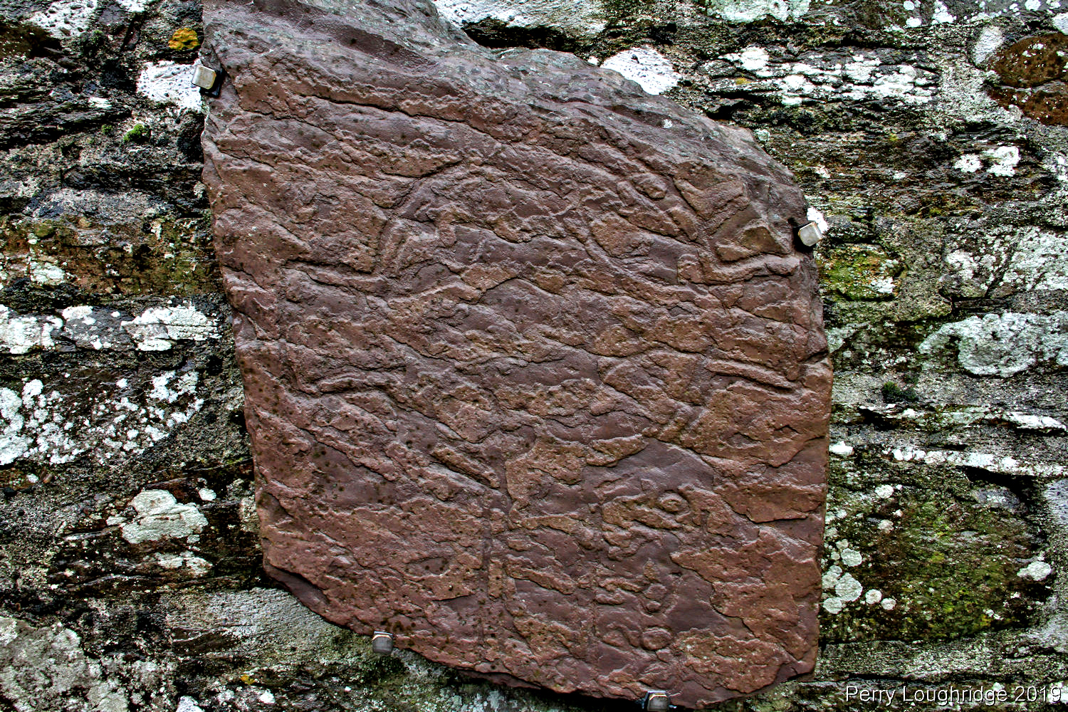
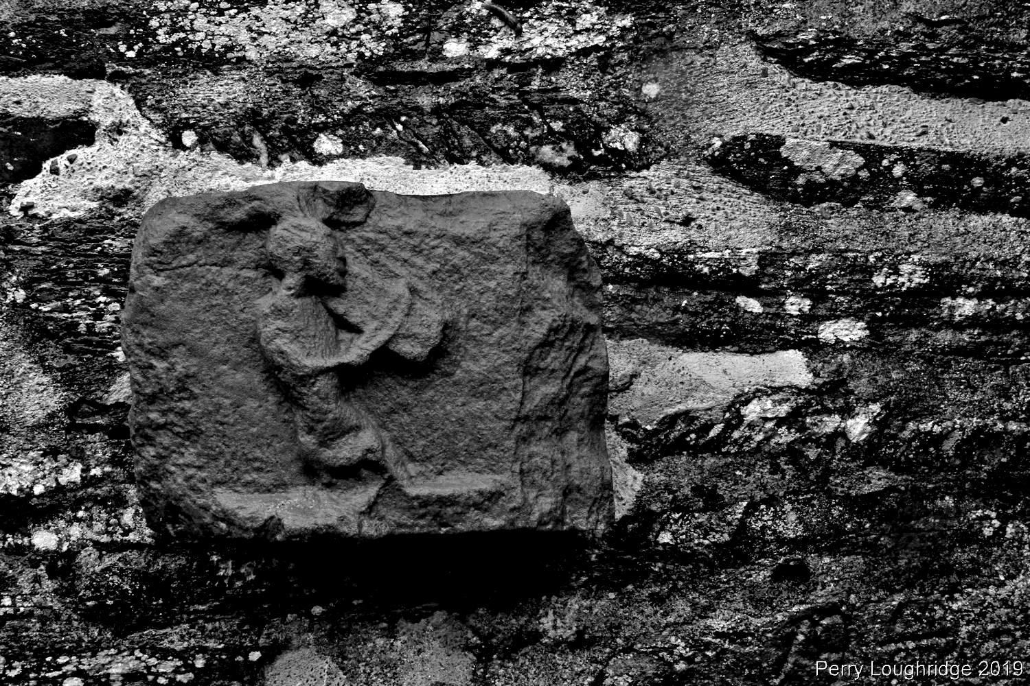
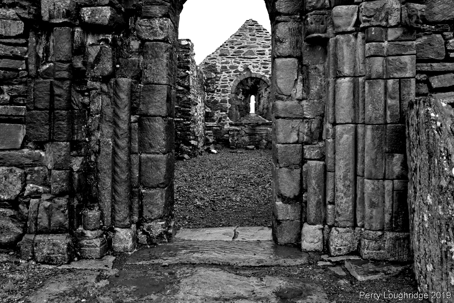
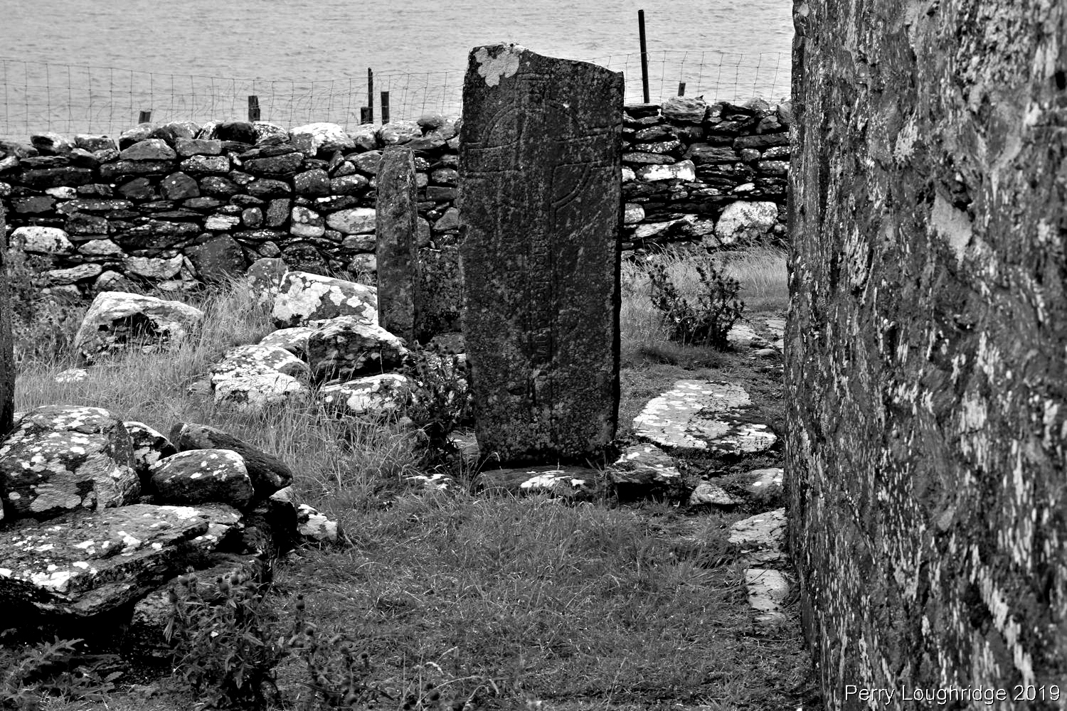
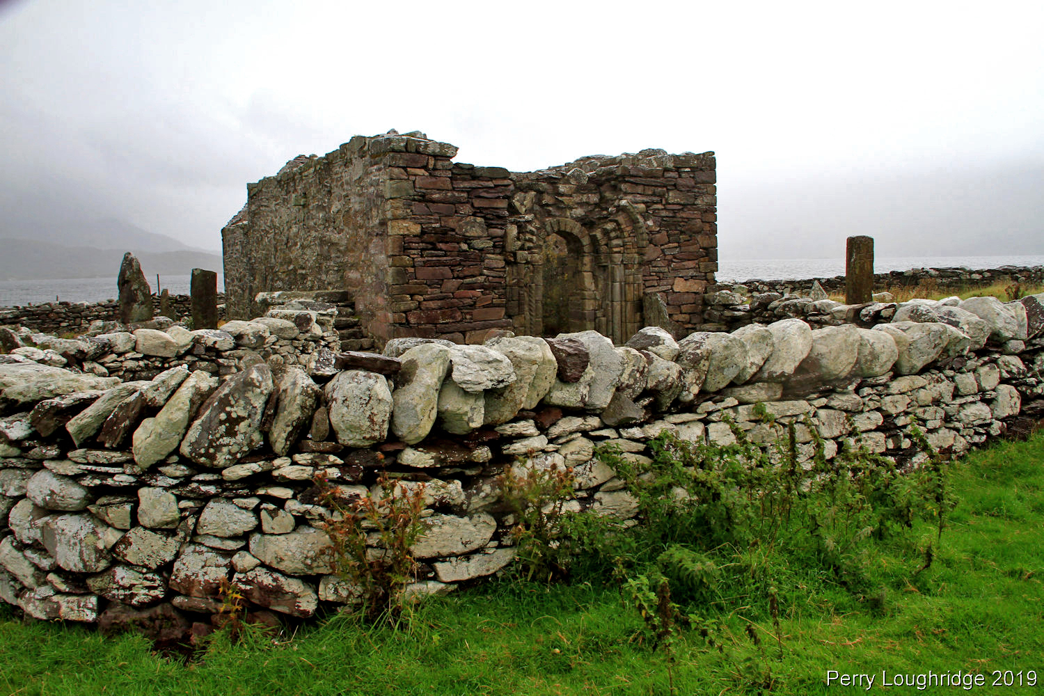
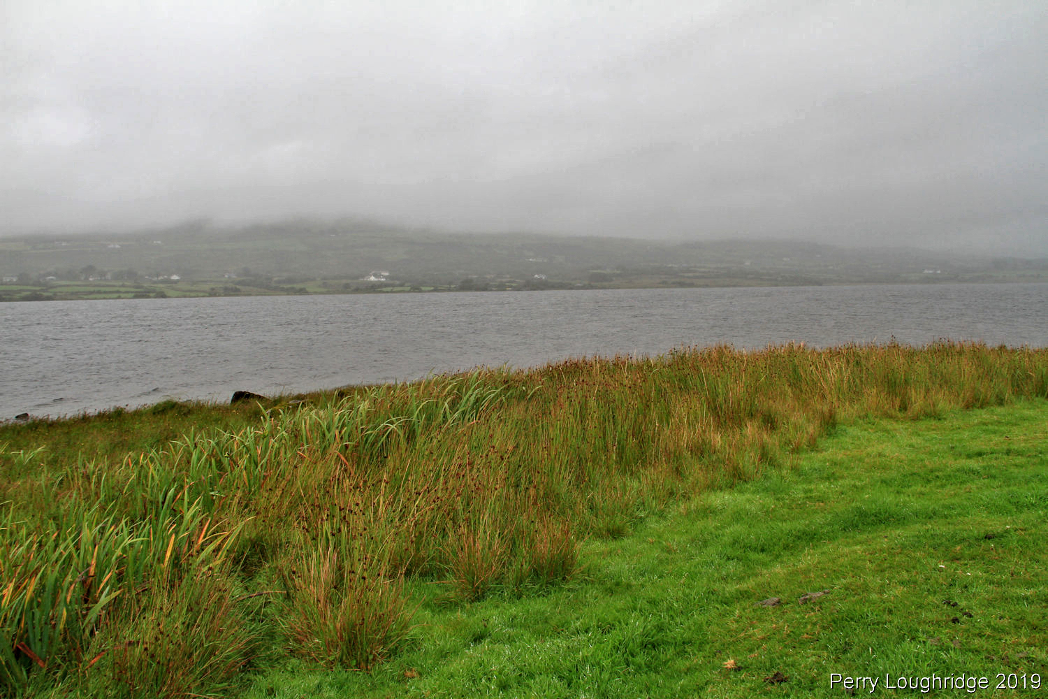
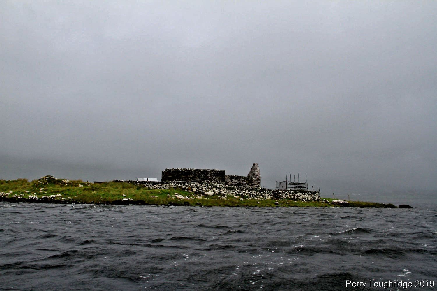
On my last full day in Ireland, I was able to get out to Church Island on Lough Currane in Waterville, CO Kerry. The site is home to a Monk Monastery, believed to have been founded in the 6th century by St. Finan Cam. The church is believed to be from the 12th century.
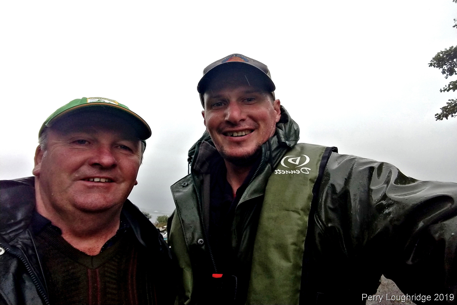
To get to the island, I meet up with Tom O’Shea from Waterville, CO Kerry for a quick boat ride to the island. I originally planned to spend a good portion of the day on the island but the weather took a turn and was pretty wet. I still got to enjoy some time on the Island and other than a few sheep and Tom hanging out in the boat while I took pics, I had the place to myself.
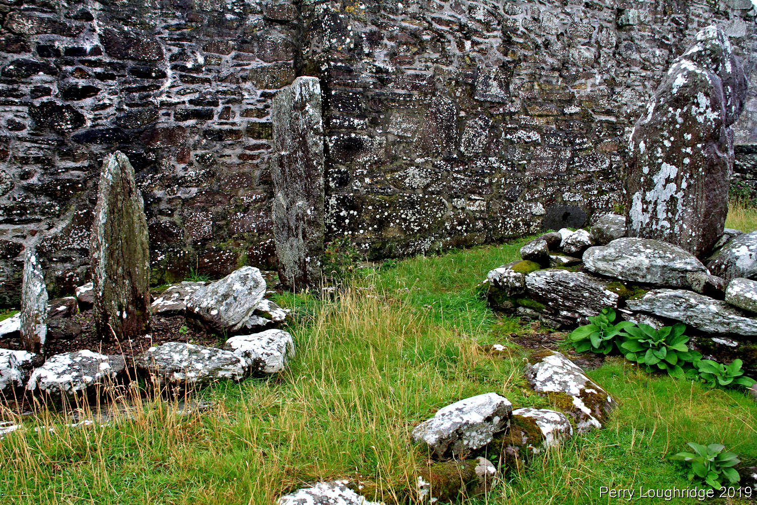
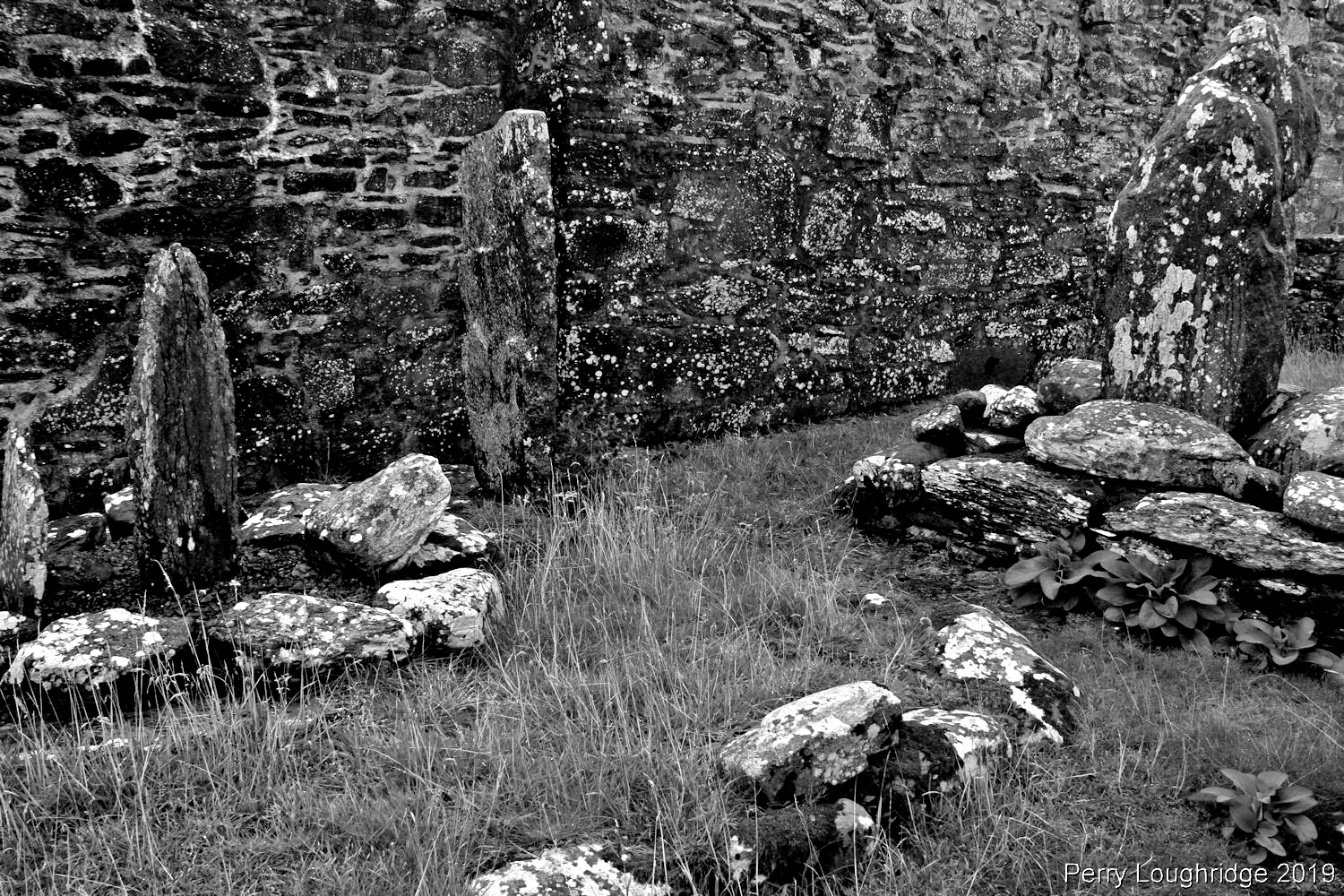
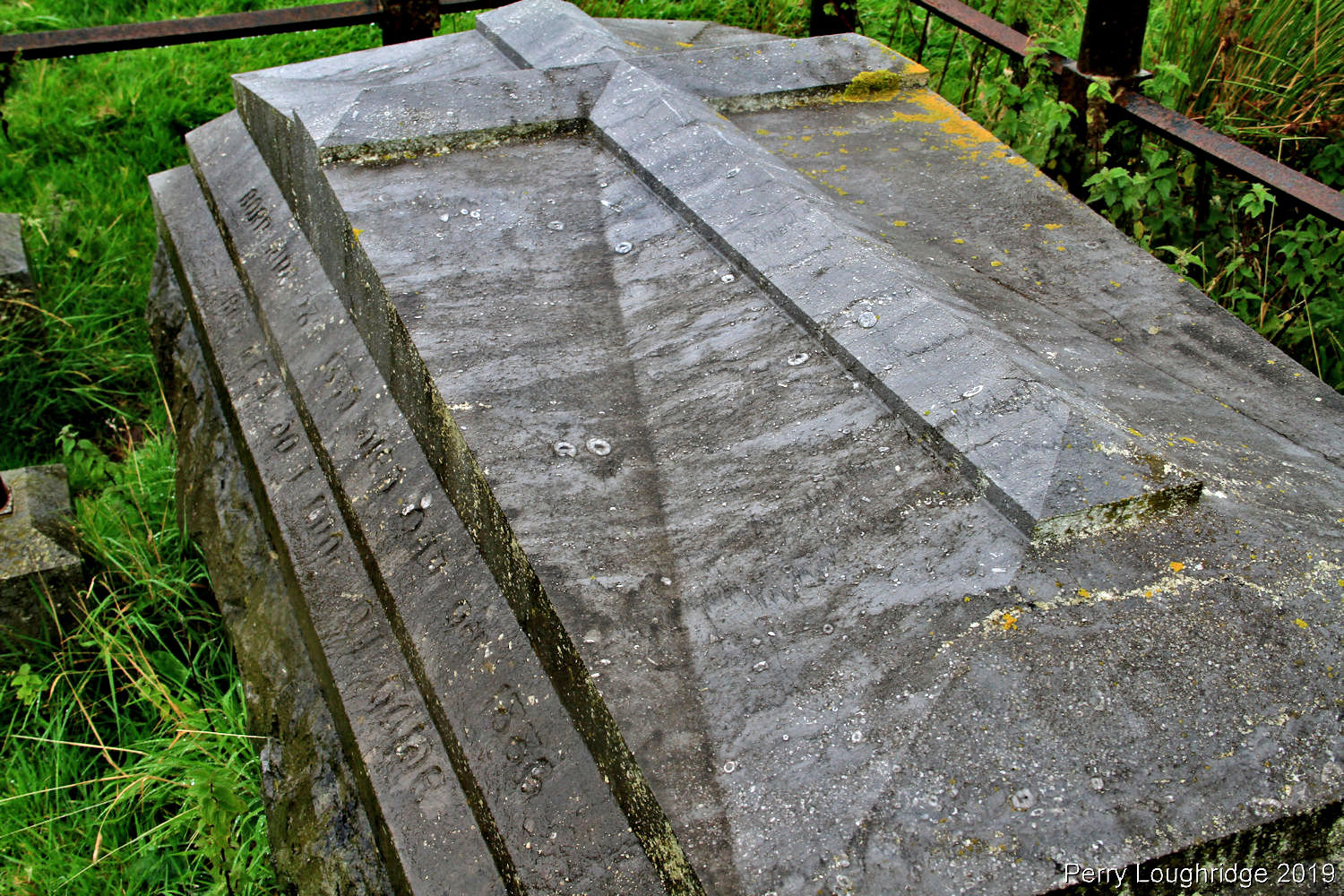
Exterior of the church. The window is aligned with the Winter Solstice.
Entry way to the church.
Inside.
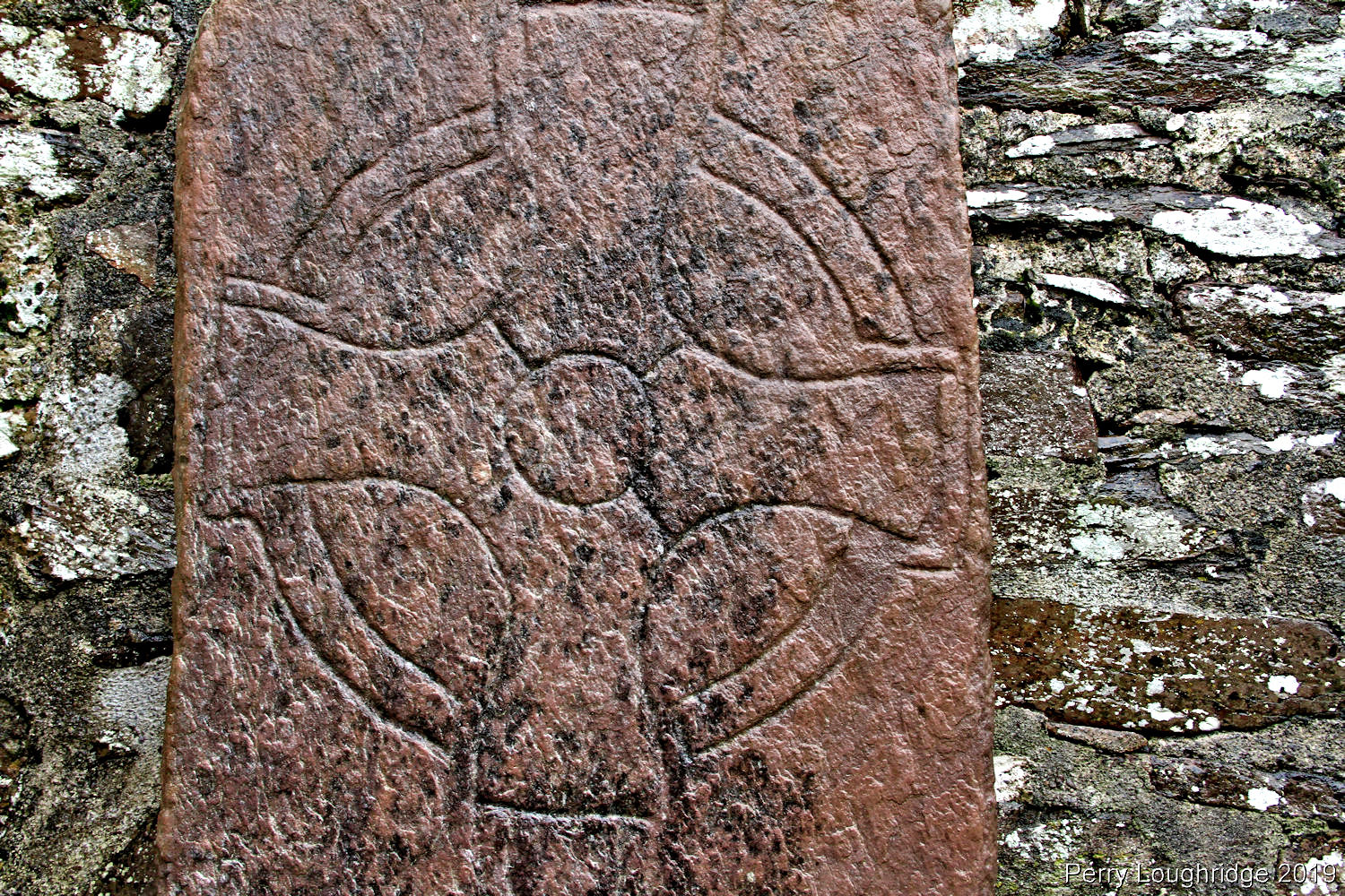
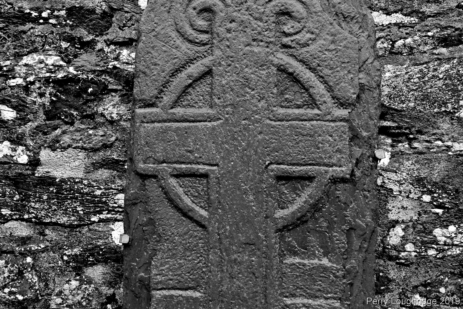
Comparisons of the symbols suggest that the stones were made in the 11th and 12th century’s.
The church.
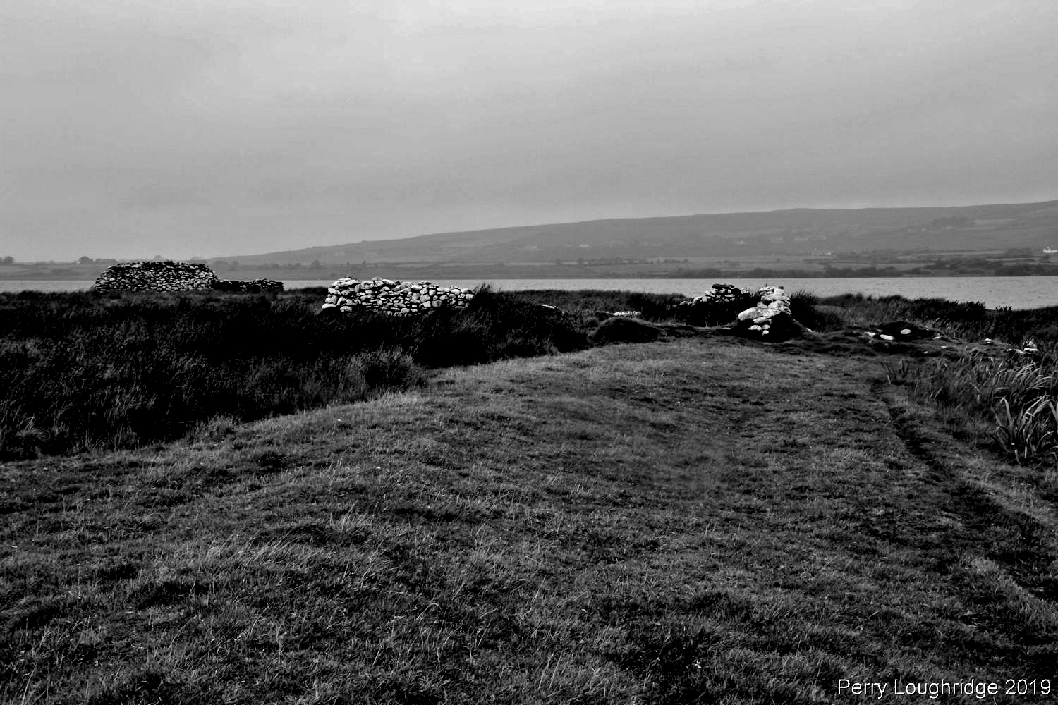
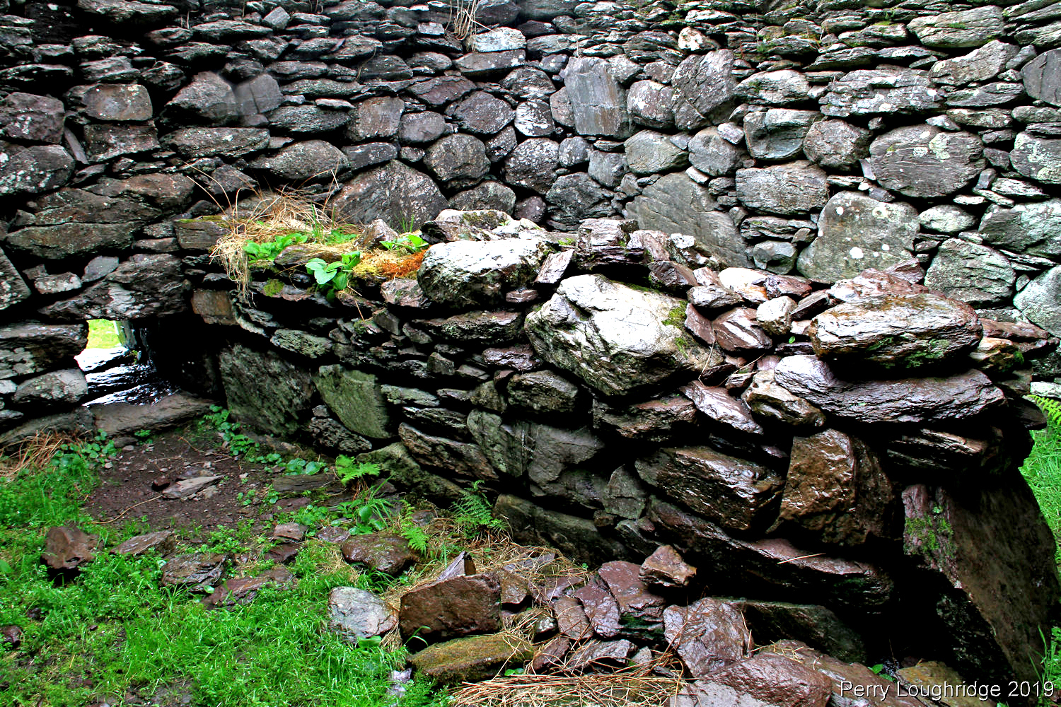
Three beehive huts can be found at the other end of the island from the church.
Inside the most intact beehive hut (though the roof was gone).
View of the church from the boat.
Tom and I back on land. He kindly waited in the rain for an hour while I explored the site and took pics.
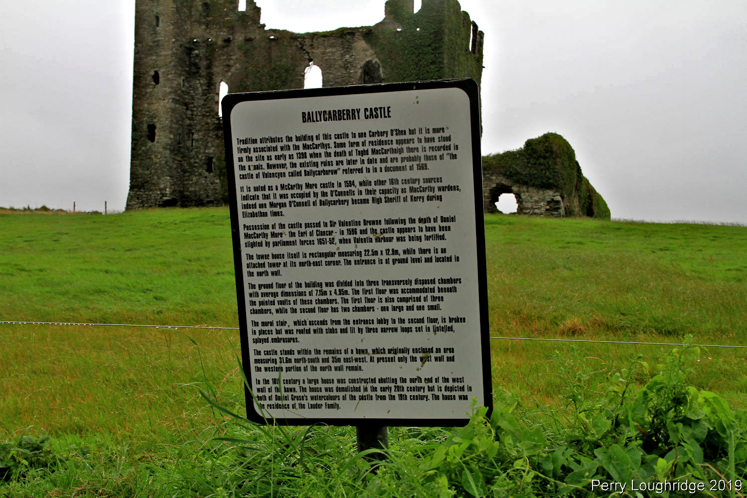
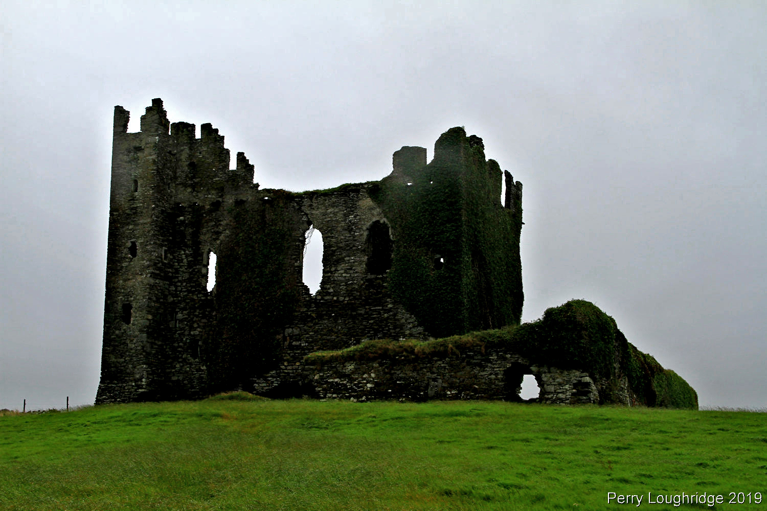
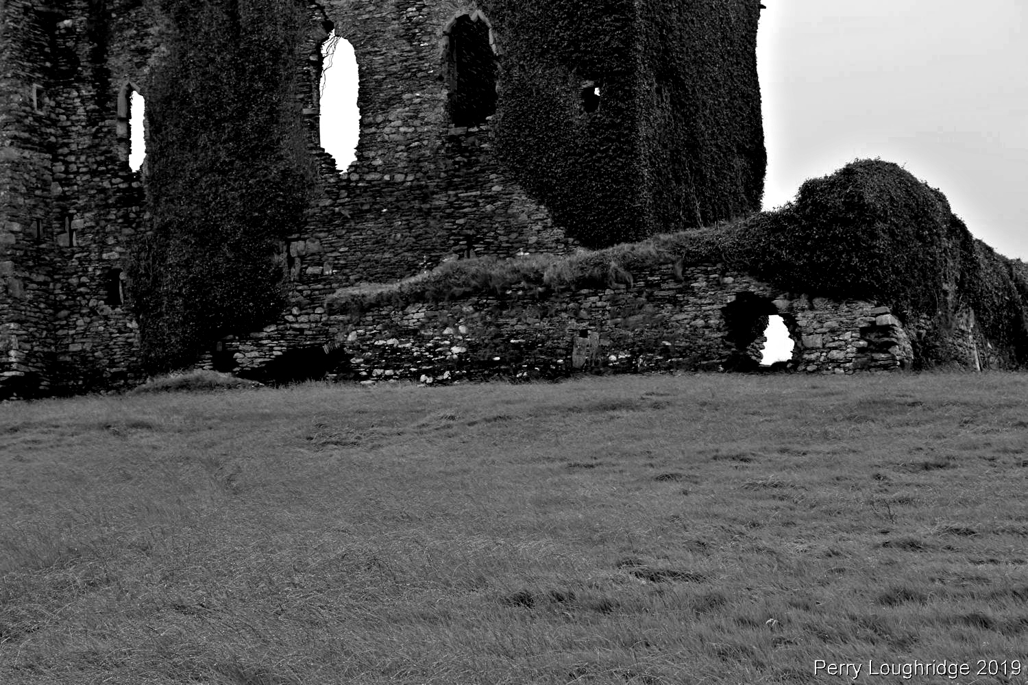
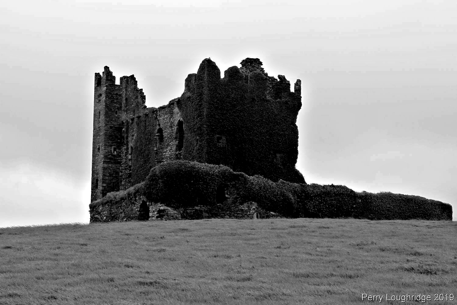
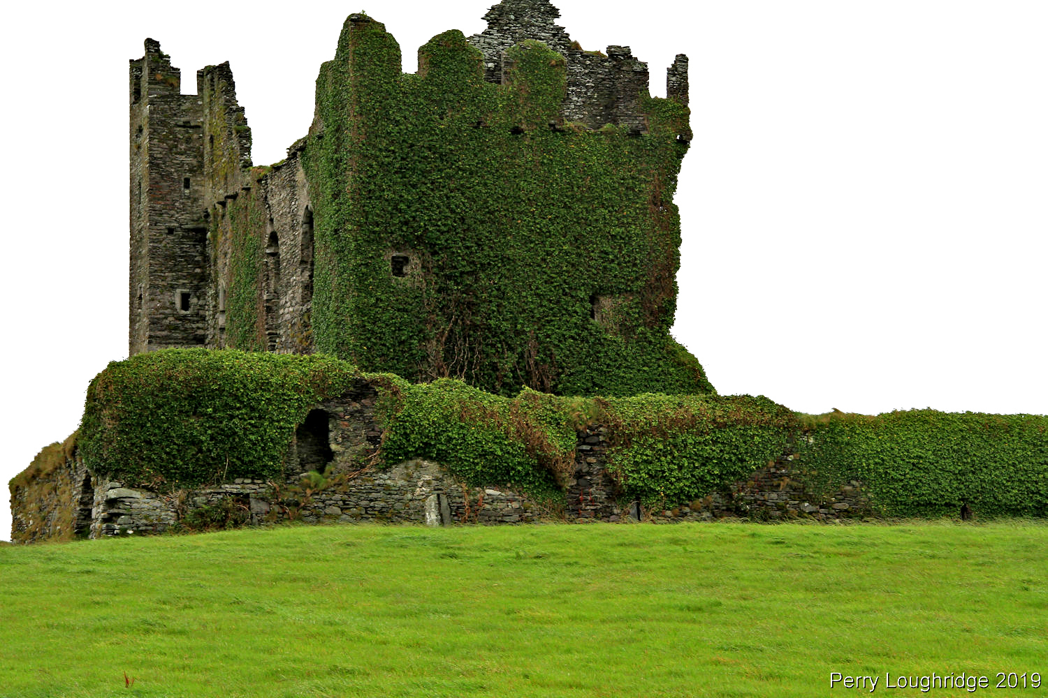
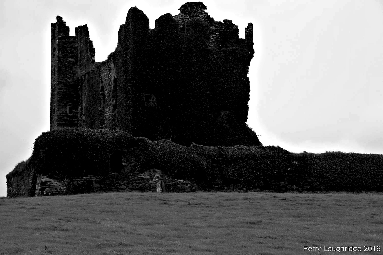
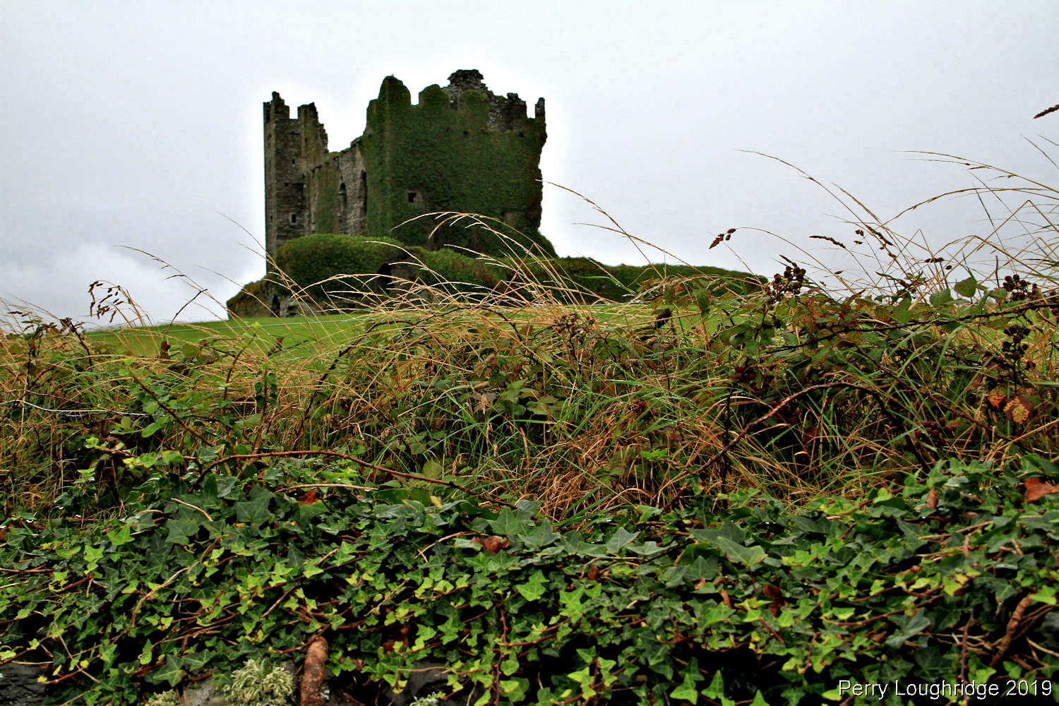
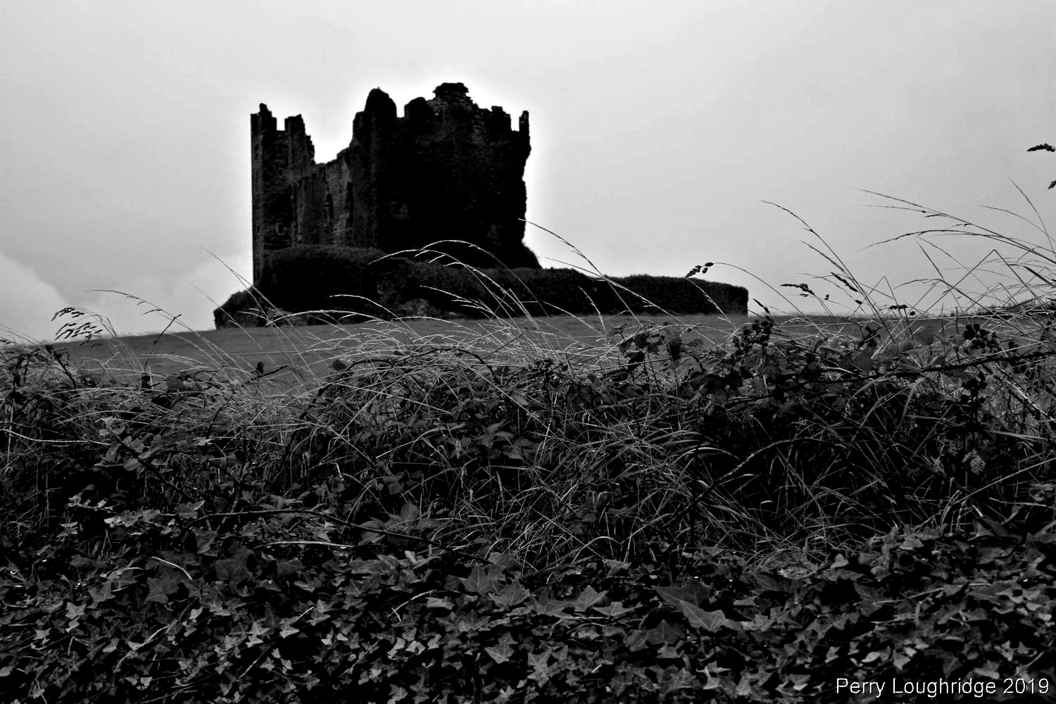
After Church Island, I headed over to Cahersiveen to check out Ballycarberry Castle. The current ruins of the castle were built in the 16th century. I had been wanting to get back to this spot as I found out that some of the stones on the inside had old inscriptions. Sadly the castle has since been close of to the public and I could only view it from a distance. Last time I visited the site was on x-mas day in 2006. Back then it was still open and you could still get up to the third floor of the castle.
Some exterior pics of Ballycarberry Castle.
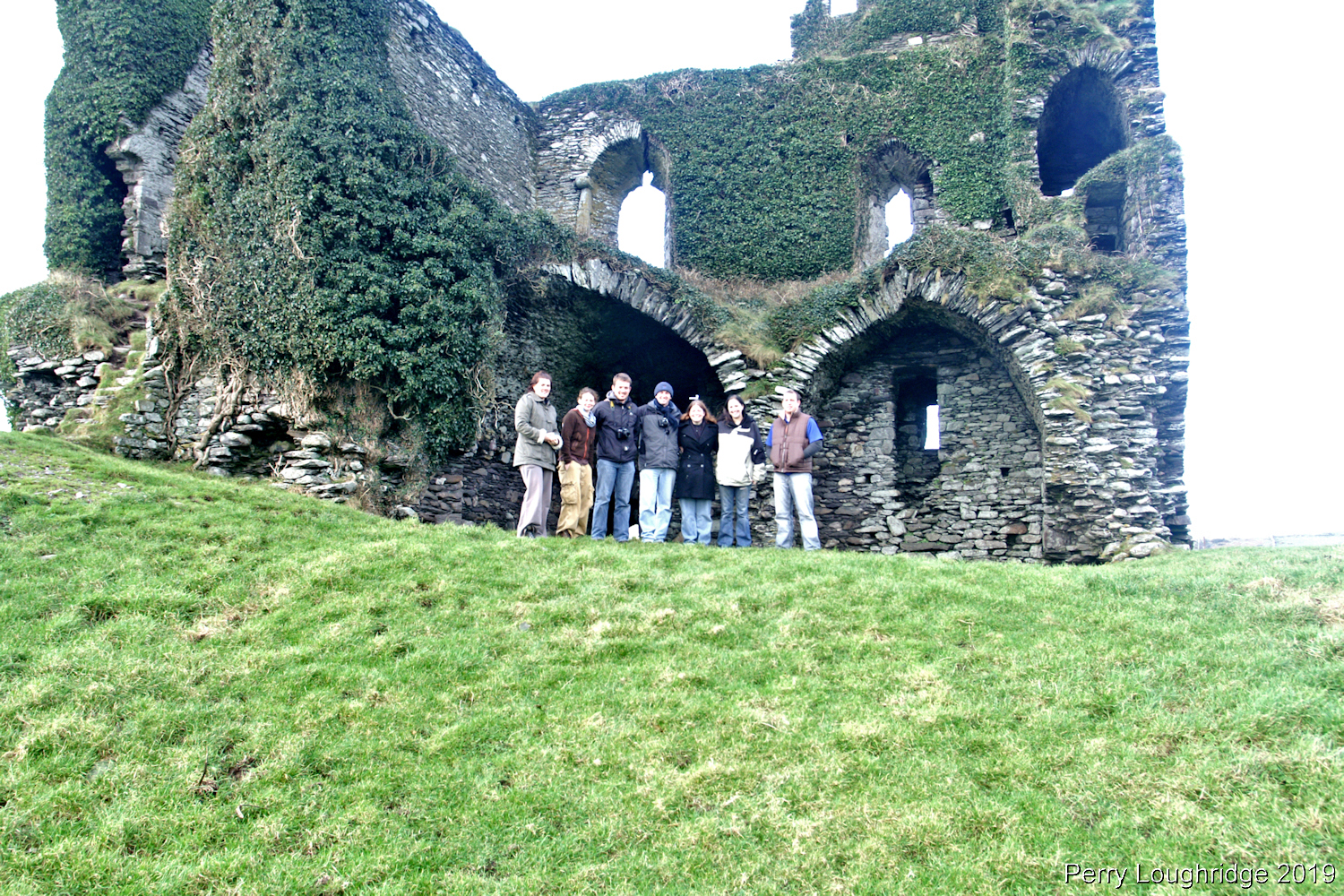
Here is a pic from x-mas day in 2006. Just to give an idea of what the interior looks like.